Block
From the record
One of 81 National Register listings published here for Muskingum County · listed in 2023 · category: Building.
Sources: the National Register database, National Park Service
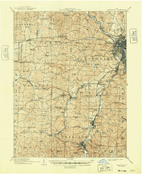
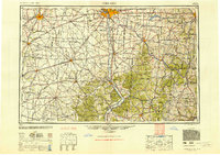
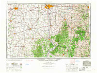
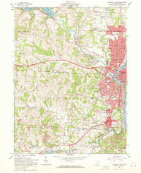
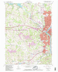
Listed on the National Register of Historic Places in 2023. 8 historic topographic surveys show this location, the earliest from 1910.
One of 81 National Register listings published here for Muskingum County · listed in 2023 · category: Building.
Sources: the National Register database, National Park Service
The ground this property stands on, surveyed 82 years apart. Drag the handle to wipe between them. Both sheets are United States Geological Survey originals; neither has been altered.
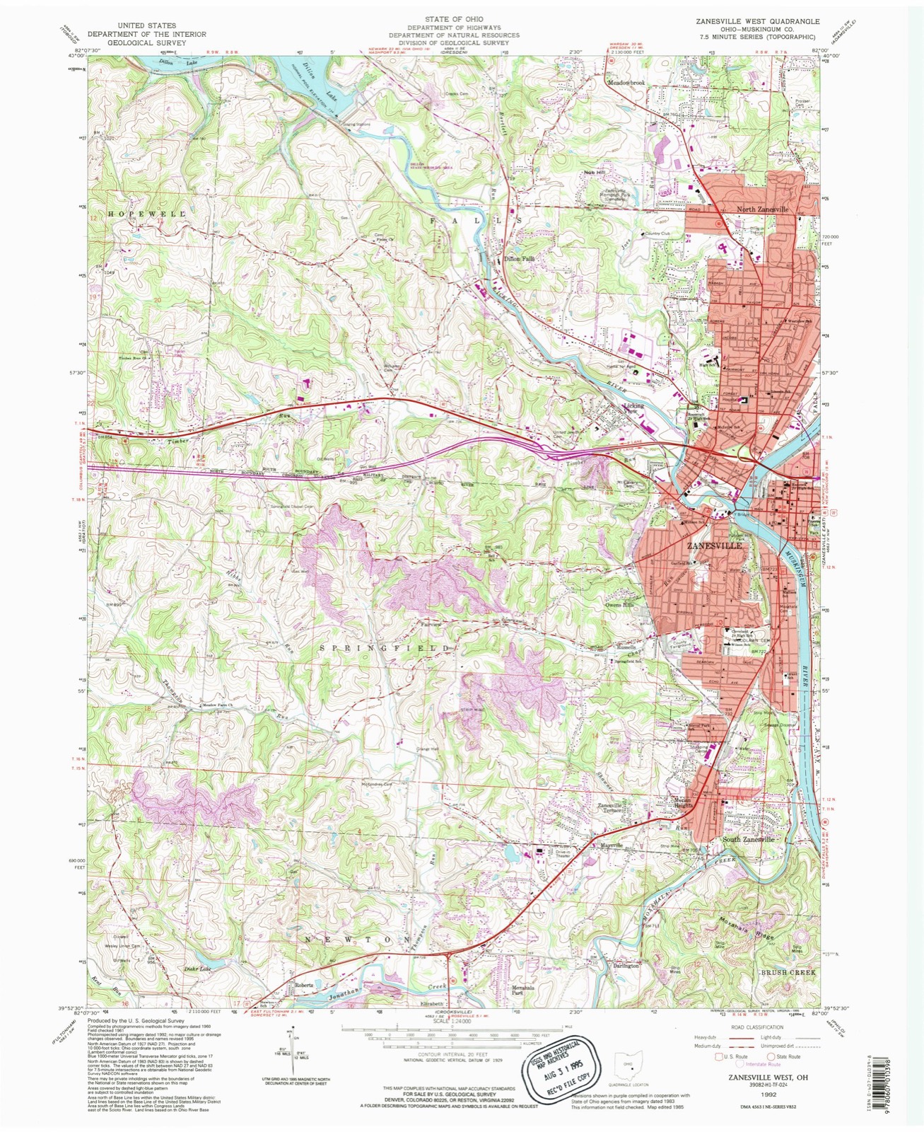
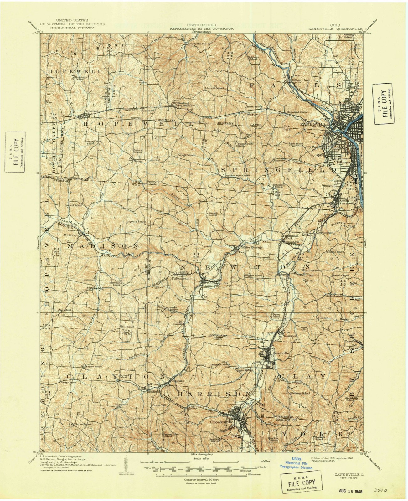
An account from the chapter on Zanesville city. The inset identifies its exact source book and publication year.
was so named in honor of Captain John C. Hazlett, of 2d O. V. I., and his cousin, Harry Hazlett, of the 5th U.S. Artillery, both of whom were killed during the Civil war; the post was organized June 1, 1881, with the following officers: C. C. Goddard, post commander; M. V. B. Kennedy, senior vice commander; Wilson C.
The chapter on Zanesville City in Biographical and Historical Memoirs of Muskingum County, Ohio; Embracing an Authentic and Comprehensive Account of the Chief Events in the History of the County and a Record of the Lives of Many of the Most Worthy Families and Individuals, published 1892 names Zanesville. This is what it says, exactly as the scans read.
Zanesville and its immediate vicinity possess facilities for manufacturing in nearly, if not quite, all the industries requiring skilled labor, it is believed, all things considered, equal, if not superior to those of any place East or West. In every item to be taken into account in the make-up of a manufacturing city comparison is challenged. It was the remark of the late John Quincy Adams made in reference to the water power here existing, that "Zanesville was the Lowell of the West." Henry Clay, in one of his letters, after personal inspection of the water power at this point, said: "The water power furnished by the James river at Richmond makes it the best manufacturing site in the United States save that at Zanesville, Ohio." These opinions were expressed before the era of coal and railway transportation.
Passage source: Biographical and Historical Memoirs of Muskingum County, Ohio; Embracing an Authentic and Comprehensive Account of the Chief Events in the History of the County and a Record of the Lives of Many of the Most Worthy Families and Individuals, published 1892.
The manufacturing interest of Zanesville are at this time its leading attraction. It is a growing interest and is imparting to the city a permanent and solid character, and placing it among the most prosperous cities of the West. The progress made in this direction has been rapid during recent years. Old industries have been enlarged and extended, and new ones added which bid fair to become large and prosperous enterprises. This stimulus to manufacturing industry is attributed to the fact that fuel and living are so cheap, market supplies of all kinds so abundant, the facilities for shipment so superior, and the location so central and generally so advantageous. Besides a more enlightened and liberalized sentiment than heretofore existed now prevails, and there is exhibited more of a disposition to encourage productive enterprises by furnishing money at liberal rates to aid in their prosecution.
Passage source: Biographical and Historical Memoirs of Muskingum County, Ohio; Embracing an Authentic and Comprehensive Account of the Chief Events in the History of the County and a Record of the Lives of Many of the Most Worthy Families and Individuals, published 1892.
Machine-read from a century-old scan, so expect the errors a machine makes: misspelled names, dropped words, stray characters.
Read the whole chapter on Zanesville City - 111,688 words on its settlement, mills, schools and churches.
Regional context, not property-specific evidence. The federal wildfire occurrence database lists 60 fires within 5 miles of Baker Brothers Wholesale Grocery between 2012 and 2020, burning about 46 acres in total. None started naturally. 2 were recorded as arson. Distance is straight-line from the map coordinates, so a fire counted here may appear on a neighbouring settlement's page as well.
| Reported cause | Fires |
|---|---|
| Debris and open burning | 35 |
| Power generation/transmission/distribution | 7 |
| Missing data/not specified/undetermined | 5 |
| Equipment and vehicle use | 5 |
| Smoking | 3 |
| Arson/incendiarism | 2 |
| Recreation and ceremony | 2 |
| Other causes | 1 |
The most recent of them, most recent first, with the day each was reported and the service that recorded it.
| Date | Cause | Size | Reported by | Name on the report |
|---|---|---|---|---|
| 30 September 2019 | Debris and open burning | 1.0 acres | Ohio Department of Natural Resources | 15277 |
| 30 September 2019 | Debris and open burning | 1.0 acres | Ohio Department of Natural Resources | 15278 |
| 28 September 2019 | Equipment and vehicle use | under an acre | Ohio Department of Natural Resources | 15264 |
| 1 September 2019 | Debris and open burning | under an acre | Ohio Department of Natural Resources | 15236 |
| 6 July 2020 | Equipment and vehicle use | under an acre | Ohio Department of Natural Resources | 15772 |
| 2 July 2018 | Power generation/transmission/distribution | 1.0 acres | Ohio Department of Natural Resources | 12325 |
| 2 July 2018 | Power generation/transmission/distribution | under an acre | Ohio Department of Natural Resources | 12945 |
| 19 June 2018 | Power generation/transmission/distribution | 1.0 acres | Ohio Department of Natural Resources | 12326 |
Regional context, not property-specific evidence. Museums hold 855 specimens collected within 10 miles of Baker Brothers Wholesale Grocery between 1873 and 1975: 742 Animalia, 88 Plantae, 15 Fungi, 5 Protozoa, 4 Unrecorded, 1 Chromista. 12 distinct Species records are shown. Collected by A.E. Miller, Adams, W. (William), Trautman, M. B. (Milton Bernard) et al., Adams, W. M. and others. Each is a physical object with a catalogue number, and each entry opens the museum's record. This is what was collected and kept, not a survey of what lives here - nothing can be concluded from a species being absent.
| Image | Species | Year | Collected by | Where, as recorded |
|---|---|---|---|---|
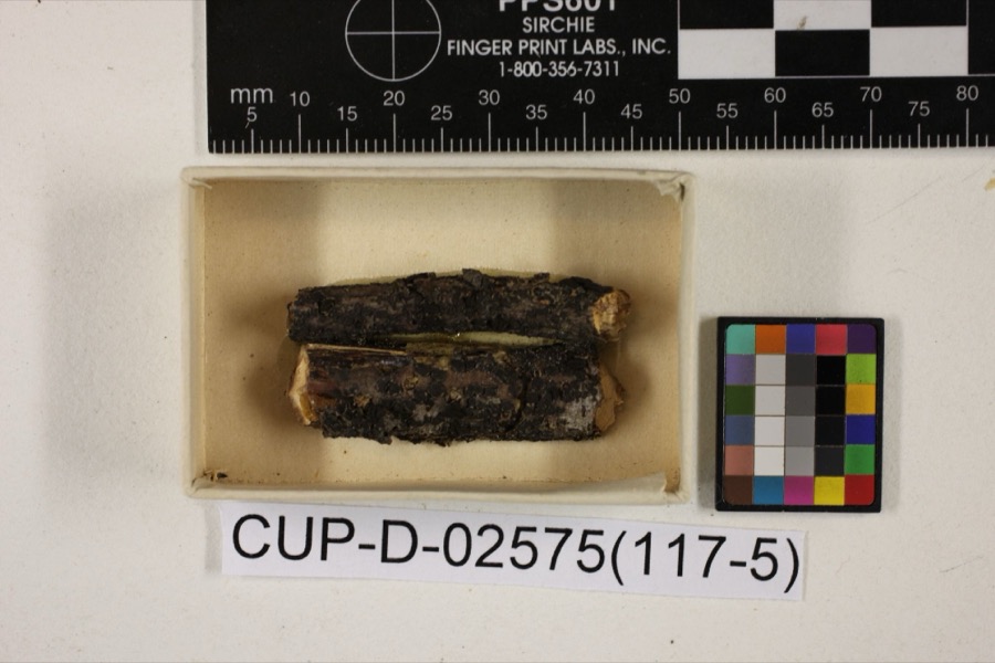 | Scleroderris rubra Morgan | 1891 | Morgan, Andrew Price | Preston |
 | Peziza nana Massee & Morgan | 1895 | Morgan, Andrew Price | Preston |
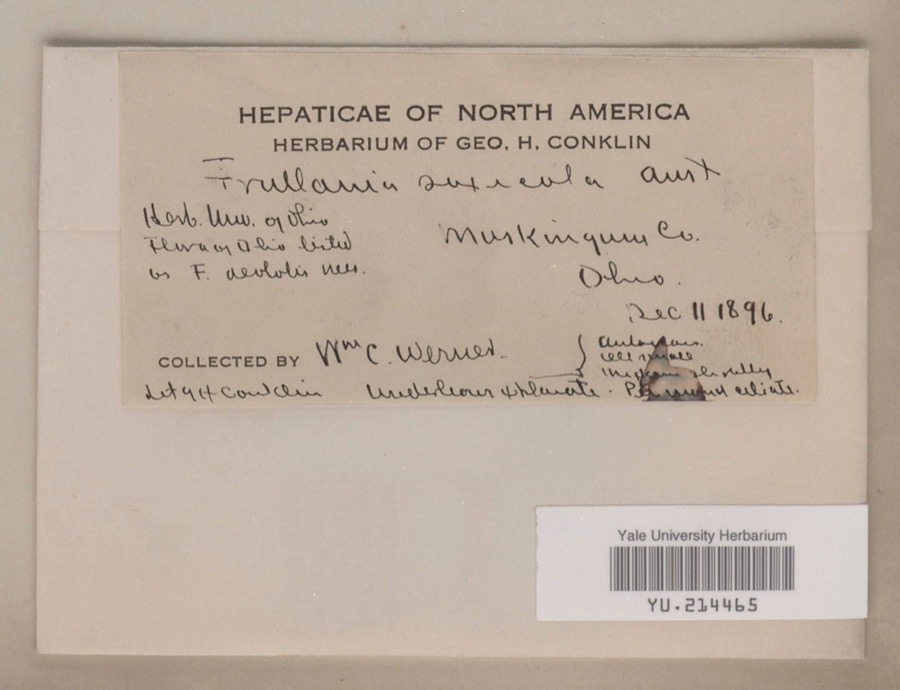 | Frullania saxicola Austin | 1896 | William C. Werner | |
 | Poa cuspidata Nutt. | 1873 | W. M. Canby | Zanesville. |
 | Frullania eboracensis Lehm. | 1890 | W. C. Werner | |
 | Porella pinnata L. | 1891 | W. C. Werner | |
 | Porella platyphylla (L.) Pfeiff. | 1891 | W. C. Werner | |
 | Fissidens adianthoides Hedw. | 1892 | W. C. Werner | Fultonham |
 | Lycogala exiguum Morgan, 1893 | 1893 | Morgan A.P. | Preston |
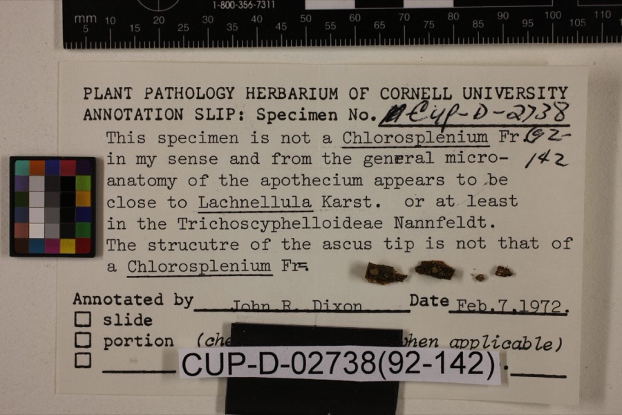 | Lachnum viridulum Massee & Morgan | 1905 | Morgan, Andrew Price | Preston |
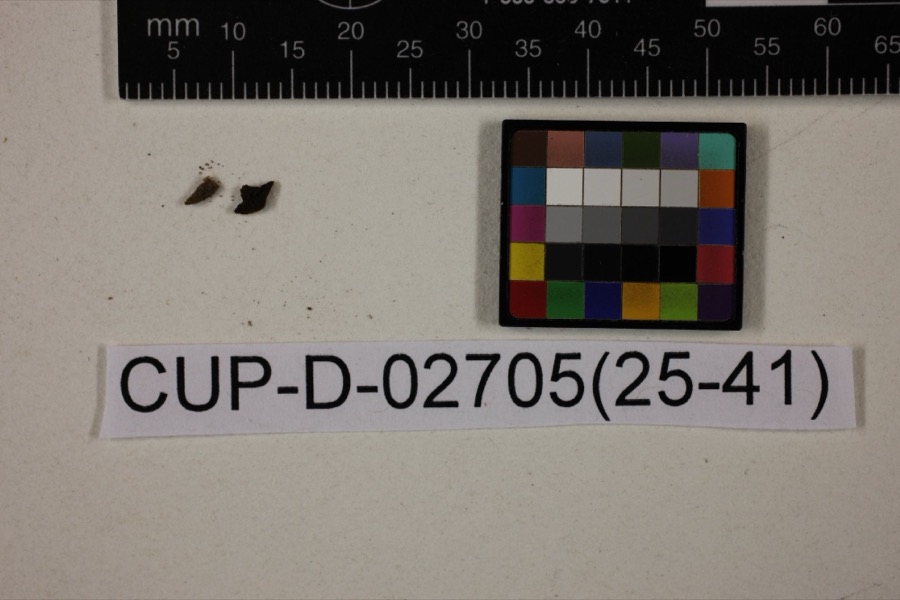 | Peziza morganii Massee | 1905 | Morgan, Andrew Price | Preston (The no longer extant town of Preston, Ohio, was located in Hamilton County in the Miami River drainage). |
| Tapesia derelicta Morgan | 1905 | Morgan, Andrew Price | Preston |
All 855 specimens within 10 miles, at the Global Biodiversity Information Facility.
Regional context, not property-specific evidence. The federal mineral resources record lists 6 workings within 5 miles of Baker Brothers Wholesale Grocery: 3 past producers, 3 producers. 3 still produce. What was taken out: Sand and Gravel, Construction, Iron. Distance is straight-line from the map coordinates, so a quarry counted here may appear on a neighbouring settlement's page as well.
| Where | Site | Commodity | Status | Recorded |
|---|---|---|---|---|
| Armco Inc/ Zanesville, Ohio | Iron | Producer | ||
| Granite Plant Pit | Sand and Gravel, Construction | Producer | ||
| Muskingum R. Gravel Plant No 3 Pit | Sand and Gravel, Construction | Past Producer | ||
| Plant Number 3 Pit | Sand and Gravel, Construction | Past Producer | Sedimentary | |
| Plant Number 4 Pit | Sand and Gravel, Construction | Past Producer | Sedimentary | |
| Salt Creek Materials Co. | Sand and Gravel, Construction | Producer |
Regional context, not property-specific evidence. The National Weather Service names Zanesville, the town this property stands in, in 113 storm reports between 1994 and 2026: 62 thunderstorm wind, 26 hail, 17 flash flood, 5 flood. The reports record 1 death. Each account below is quoted exactly as the forecast office filed it, from the NOAA Storm Events Database, and each date opens the federal record of that event.
| When | Event | Place named | Harm | What the report says |
|---|---|---|---|---|
| July 2012 | Lightning | Zanesville | 1 killed | A 60 year old man was struck and killed by lightning while standing under a tree. |
| February 2022 | Flood | North Zanesville | $100,000 | Heavy rain caused an Ice Jam Flood that resulted in the Muskingum backing up and flooding into homes along Riverside Airport road. |
| August 1999 | Lightning | Zanesville | $100,000 | Lightning struck a house, setting it on fire. The house was destroyed. |
| October 2010 | Thunderstorm Wind | Zanesville | $75,000 | Law enforcement reported trees and power lines down countywide. |
| November 2020 | Thunderstorm Wind | Zanesville | $50,000 | Numerous trees were reported to be blown down across the county. |
| June 2011 | Thunderstorm Wind | Zanesville | $50,000 | Emergency management reported trees and power lines down in Zanesville and around the county. |
| July 2002 | Flash Flood | Zanesville | $50,000 | Thunderstorm rains of over two inches in one hour produced roadway flooding, trapping several motorists in their vehicles. |
| May 2008 | Thunderstorm Wind | Zanesville | $35,000 | Law enforcement reported trees down in Zanesville. |
| July 2013 | Thunderstorm Wind | Zanesville | $25,000 | Law enforcement reported trees down. |
| July 2012 | Thunderstorm Wind | Zanesville | $25,000 | The 911 center reported power lines down in Zanesville. |
| June 2011 | Flood | North Zanesville | $25,000 | Law enforcement reported flooding continued from earlier rains across several roads throughout the county. |
| November 2020 | Thunderstorm Wind | North Zanesville | $20,000 | Trees were blown down and roof shingles were blown off of a house on County Route 146. |
| June 1998 | Thunderstorm Wind | Zanesville | $20,000 | Numerous trees blown down throughout the city of Zanesville from thunderstorm winds. |
| June 1998 | Tornado (F1) | Zanesville | $20,000 | no account filed |
| April 2011 | Flood | Zanesville | $15,000 | Street flooding was reported in and around Zanesville. |
| April 2025 | Thunderstorm Wind | Zanesville | $10,000 | Numerous trees were reported down across the county, including a large tree that fell into a house. |
| July 2006 | Thunderstorm Wind | Zanesville | $10,000 | Numerous trees and power lines blown down along I-70. |
| August 2006 | Thunderstorm Wind | Zanesville | $10,000 | Many large trees and power lines down. |
| June 1998 | Thunderstorm Wind | Zanesville | $10,000 | Thunderstorm winds blew down four power poles and power lines just north of Zanesville. Several trees were also reported down across the eastern part of the county. |
| May 2006 | Thunderstorm Wind | Zanesville | $6,000 | Several trees down along Bagley Rd and Slack Rd. |
| March 2026 | Thunderstorm Wind | South Zanesville | $5,000 | Trees were reported down in South Zanesville. |
| February 2022 | Flood | South Zanesville | $5,000 | Flooding was reported at the Southtown Cafe due to heavy rain. |
| May 2015 | Thunderstorm Wind | Zanesville | $5,000 | Local 911 center reported trees and power lines down on the south side of town. |
| June 2012 | Thunderstorm Wind | Zanesville | $5,000 | Trained spotter reported multiple trees down. Report relayed from the NWS in Wilmington OH. |
| August 2004 | Thunderstorm Wind | Zanesville | $5,000 | Trees down from Zanesville to Concord. |
| June 2002 | Thunderstorm Wind | Zanesville | $5,000 | Thunderstorm winds downed several large trees. |
| June 2002 | Thunderstorm Wind | Zanesville | $5,000 | Thunderstorm winds downed several large trees and power lines. |
| June 2002 | Thunderstorm Wind | Zanesville | $5,000 | Thunderstorm winds downed several trees and power lines. |
| September 1998 | Thunderstorm Wind | Zanesville | $5,000 | Thunderstorm winds downed several trees and power lines along Newark Road. |
| June 1997 | Thunderstorm Wind | Zanesville | $5,000 | Thunderstorm winds downed several trees and power lines throughout Muskingum County. |
| May 1997 | Thunderstorm Wind | Zanesville | $5,000 | Thunderstorm winds downed some small trees and large branches, some onto power lines, throughout the county. |
| June 1995 | Thunderstorm Wind | Zanesville | $5,000 | Street flooding was reported in and near Zanesville after 1.30 inches fell in 20 minutes. Large branches were downed east of Zanesville. One branch fell on a passing motorist's car. There was no mention of any injuries. |
| July 1994 | Thunderstorm Wind | Zanesville | $5,000 | Trees were downed. |
| October 2001 | Thunderstorm Wind | Zanesville | $5,000 | no account filed |
| May 1996 | Thunderstorm Wind | Zanesville | $5,000 | no account filed |
| July 1996 | Thunderstorm Wind | Zanesville | $5,000 | no account filed |
| December 2013 | Thunderstorm Wind | Zanesville | $3,000 | The public reported that shingles were blown off their home and a chimney blown down. |
| April 2003 | Thunderstorm Wind | Zanesville | $3,000 | Mobile down demolished by wind. |
| August 1999 | Thunderstorm Wind | Zanesville | $3,000 | Thunderstorm winds downed several trees. |
| June 2015 | Flash Flood | North Zanesville | $2,000 | One foot of water was reported flowing over Route 60. |
| July 2001 | Thunderstorm Wind | Zanesville | $2,000 | Thunderstorm winds downed a few trees. |
| July 1999 | Thunderstorm Wind | Zanesville | $2,000 | Thunderstorm winds downed a few large trees. |
| August 1998 | Thunderstorm Wind | Zanesville | $2,000 | no account filed |
| July 2024 | Thunderstorm Wind | Zanesville | $1,000 | A tree was blown down on to Fulton Street. |
| May 2018 | Thunderstorm Wind | Zanesville | $1,000 | The Muskingum County Emergency Manager reported wind damage in the vicinity of Zanesville High School. |
| July 2003 | Thunderstorm Wind | Zanesville | $1,000 | Trees down. |
| July 2003 | Thunderstorm Wind | Zanesville | $1,000 | Large trees down. |
| June 1995 | Thunderstorm Wind | Zanesville | $1,000 | Numerous trees were downed by thunderstorm winds. |
| June 2013 | Thunderstorm Wind | Zanesville | $500 | Law enforcement reported tree limbs down. |
| June 2024 | Thunderstorm Wind | South Zanesville | - | Power lines down across boat docks. |
| May 2022 | Thunderstorm Wind | Zanesville | - | Large tree limbs were blown down. |
| June 2022 | Thunderstorm Wind | Zanesville | - | Social media reports of power outages and trees down with second line of convection. |
| August 2022 | Hail | Zanesville | - | Quarter sized hail reported near Zanesville. |
| August 2022 | Flash Flood | Zanesville | - | Locus Avenue in Zanesville was flooded near SR 60 from heavy rainfall. |
| June 2021 | Thunderstorm Wind | South Zanesville | - | An emergency manager reported several trees and power lines down, including in the vicinity of Fair Street and Maysville Pike. |
| August 2021 | Thunderstorm Wind | North Zanesville | - | Social media report of numerous large tree branches snapped. |
| June 2021 | Thunderstorm Wind | North Zanesville | - | Social media report of trees falling due to wind estimated at 60mph. |
| June 2021 | Thunderstorm Wind | North Zanesville | - | Social media report of downed lines on Country Club Road in Zanesville. Time estimated based on radar. |
| June 2021 | Thunderstorm Wind | Zanesville | - | Fire department reported tree down on home on Norwood Blvd. |
| March 2020 | Hail | Zanesville | - | Penny size hail reported by a trained spotter. |
United States Geological Survey topographic sheets whose coverage includes this point. Matched by taking the coordinate the National Park Service records for this property, then testing that coordinate against the published boundary of every sheet.
Other National Register properties close enough to walk or drive between, ordered by distance from this one. Both positions come from the same geocoding pass that matched these properties to their map sheets.
| Photograph | Property | Distance | Listed |
|---|---|---|---|
 | Y Bridge | under 500 feet | 1973 |
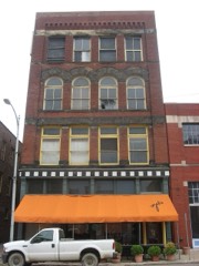 | Perry Wiles Grocery Company | 0.2 miles | 1980 |
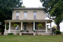 | Crescent Hill | 0.2 miles | 1986 |
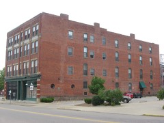 | Harper-Cosgrave Block | 0.2 miles | 1980 |
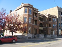 | Adena Court Apartments | 0.2 miles | 1980 |
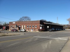 | Belt Line and New York Central Freight House | 0.2 miles | 1983 |
| National Archives record | The nomination case file for reference 100009004 in Record Group 79. |
| Muskingum County | All 81 listed properties in this county. |