 Block
BlockFrom the record
one of 75 National Register listings in Lake County · listed in 2023 · category: Building · one of 2 National Historic Landmarks in Lake County.
Sources: the National Register database, National Park Service

Listed on the National Register of Historic Places in 2023. A historic map-sheet match is not published yet. The record needs a coordinate-quality review before it can be joined to a sheet boundary.
one of 75 National Register listings in Lake County · listed in 2023 · category: Building · one of 2 National Historic Landmarks in Lake County.
Sources: the National Register database, National Park Service
Regional context, not property-specific evidence. The federal wildfire occurrence database lists 1 fire within 5 miles of Boyce, Julia F. Country Estate between 2003 and 2003, burning about 400 acres in total. None started naturally. None was recorded as arson. Distance is straight-line from the map coordinates, so a fire counted here may appear on a neighbouring settlement's page as well.
| Reported cause | Fires |
|---|---|
| Missing data/not specified/undetermined | 1 |
The most recent of them, most recent first, with the day each was reported and the service that recorded it.
| Date | Cause | Size | Reported by | Name on the report |
|---|---|---|---|---|
| 28 April 2003 | Missing data/not specified/undetermined | 400 acres | Ohio Department of Natural Resources | MENTOR |
Regional context, not property-specific evidence. Museums hold 1,030 specimens collected within 10 miles of Boyce, Julia F. Country Estate between 1887 and 1975: 978 Animalia, 38 Plantae, 12 Fungi, 1 Chromista, 1 Unrecorded. 12 distinct Species records are shown. Collected by A. F. Clewell, A. Woolman, Aldritch, J W and others. Each is a physical object with a catalogue number, and each entry opens the museum's record. This is what was collected and kept, not a survey of what lives here - nothing can be concluded from a species being absent.
| Image | Species | Year | Collected by | Where, as recorded |
|---|---|---|---|---|
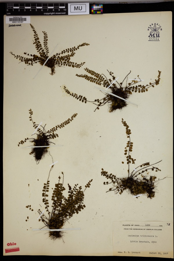 | Asplenium trichomanes L. | 1887 | Leonard, F.E. | Little Mountain. |
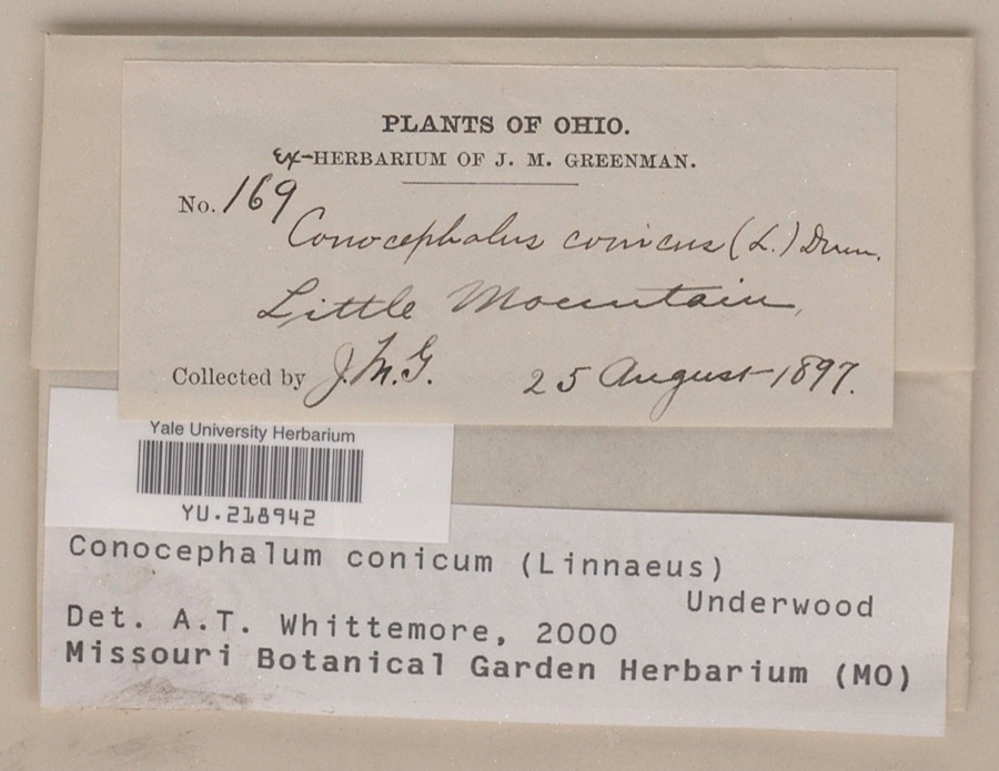 | Conocephalum conicum (L.) Underw. | 1897 | Jesse M. Greenman | Little Mountain |
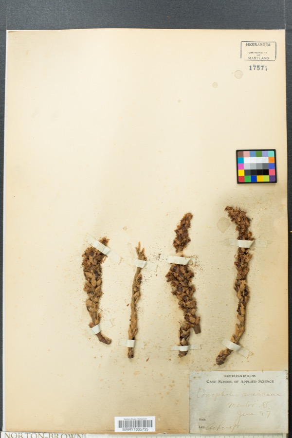 | Conopholis americana (L.) Wallr. | 1897 | Ashcroft | Mentor |
 | Ammocrypta pellucida (Putnam, 1863) | 1893 | not recorded | Willoughby, Ohio |
 | Etheostoma caeruleum Storer, 1845 | 1893 | not recorded | Chagrin River, Willoughby, Ohio |
 | Micropterus dolomieu Lacepède, 1802 | 1893 | A. Woolman | Chagrin River, Willoughby, Ohio |
 | Notropis whipplei (Girard, 1856) | 1893 | not recorded | Chagrin River, Willoughby, Ohio |
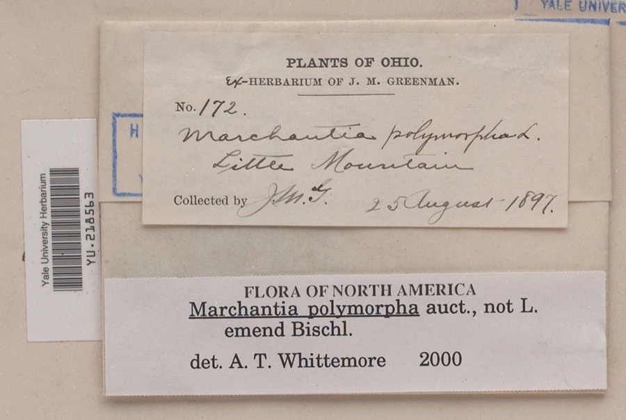 | Marchantia polymorpha L. | 1897 | Jesse M. Greenman | Little Mountain |
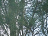 | Coccyzus americanus americanus (Linnaeus, 1758) | 1898 | Ray Densmore | Mentor |
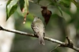 | Empidonax virescens (Vieillot, 1818) | 1898 | Densmore, R. | Mentor |
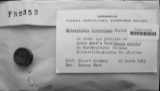 | Sclerotinia libertiana Fuckel | 1912 | Rosenbaum | |
| unnamed | 1913 | Rosenbaum |
All 1,030 specimens within 10 miles, at the Global Biodiversity Information Facility.
Regional context, not property-specific evidence. The federal mineral resources record lists 3 workings within 5 miles of Boyce, Julia F. Country Estate: 3 producers. All of them still produce. What was taken out: Silica, Abrasive. Distance is straight-line from the map coordinates, so a quarry counted here may appear on a neighbouring settlement's page as well.
| Where | Site | Commodity | Status | Recorded |
|---|---|---|---|---|
| Gordon-Warren/ Wickliffe, Ohio | Abrasive | Producer | ||
| Gen. Electric/ Willoughby, Ohio | Silica | Producer | ||
| Quartz Scientific Inc/ Eastlake, Oh | Silica | Producer |
Regional context, not property-specific evidence. The National Weather Service names Willoughby, the town this property stands in, in 22 storm reports between 1996 and 2025: 10 hail, 9 thunderstorm wind, 2 flood, 1 flash flood. No death or injury is recorded in these reports. Each account below is quoted exactly as the forecast office filed it, from the NOAA Storm Events Database, and each date opens the federal record of that event.
| When | Event | Place named | Harm | What the report says |
|---|---|---|---|---|
| June 2013 | Hail | Willoughby | $250,000 | Hail as big as ping pong balls was reported for several minutes. Many vehicles were damaged by the hail. |
| June 2013 | Thunderstorm Wind | Willoughby | $150,000 | Thunderstorm winds in excess of 60 mph downed dozens of trees and caused widespread power outage. In excess of 3,000 utility customers lost power during this event. |
| January 2007 | Flood | Willoughby | $150,000 | Runoff from heavy rains on January 5th caused the Chagrin River in Willoughby to go above the flood stage of 11 feet during the evening hours of January 5th. The river crested at 13.04 feet around midnight on the 6th and fell back below flood stage around 9 a.m. on the 6th. Flooding occurred along the northern sections of Trailard, Milann and Chagrin Drives in Willoughby Hills. Several homes on these streets sustained damage from flooding. |
| August 2023 | Flash Flood | Willoughby | $100,000 | Widespread road closures due to flash flooding in Willoughby, Eastlake, and Willowick. Multiple water rescues conducted due to vehicles driving into flooded roadways. Road closures in this area included US-2 near Stevens Boulevard, Vine Street just east of US-2, Riverside Boulevard and Riverside Drive, and Lake Shore Boulevard near Vine Street. Radar estimated 2.25 to 3 inches of rainfall in a three to four hour period, with 1 to 1.5 inches of rain falling in the hour immediately preceding the flash flooding. |
| September 2005 | Thunderstorm Wind | Willoughby | $18,000 | Numerous trees and power lines were reported down. |
| July 2014 | Thunderstorm Wind | Willoughby | $15,000 | Law Enforcement reported trees and wires brought down by strong thunderstorm winds in Willoughby and Mentor. This included a telephone pole that landed across Route 306 and Route 20. |
| November 2005 | Thunderstorm Wind | Willoughby | $4,000 | A few trees were reported down. |
| January 2014 | Flood | Willoughby | $2,000 | An ice jam stretching from the railroad bridge south of the SR 2 bridge to the Chargrin River Park closed several roads and the park itself as water and ice came out of the riverbed. Lost Nation Road was shut down between Pelton Road and Apollo Parkway in Willoughby as well as Erie Street between Gilson Park and St. Clair Street. Roads by Daniels Park were also closed. Though some residents evacuated, no homes were flooded. Two people had to be rescued after driving into a flooded road. |
| August 2005 | Thunderstorm Wind | Willoughby | $2,000 | Two large trees were reported down. |
| July 2002 | Thunderstorm Wind | Willoughby | $2,000 | Thunderstorm winds downed two large tree limbs. |
| June 2013 | Thunderstorm Wind | Willoughby | $1,000 | Thunderstorm winds toppled a large tree. |
| June 2025 | Thunderstorm Wind | Willoughby | - | Three trees downed at Willoughby Cemetery in Willoughby. |
| April 2023 | Hail | Willoughby | - | Hail slightly smaller than quarter-size reported in Willoughby. |
| May 2019 | Thunderstorm Wind | Willoughby | - | Several large trees were blown. |
| August 2011 | Hail | Willoughby | - | Quarter to half dollar sized hail was observed for several minutes. |
| August 2011 | Hail | Willoughby | - | Penny sized hail was observed. |
| May 2010 | Hail | Willoughby | - | Nickel sized hail was observed. |
| June 2008 | Hail | Willoughby | - | Nickel size hail was observed. |
| May 2007 | Hail | Willoughby | - | Penny size hail was observed. |
| April 2004 | Hail | Willoughby | - | Penny size hail was observed. |
| May 1998 | Hail | Willoughby | - | no account filed |
| August 1996 | Hail | Willoughby | - | no account filed |
No historic map-sheet match is published for this property yet. That does not mean no map exists. This record needs a coordinate-quality review before it can be joined to a sheet boundary. Browse the county's mapped places while that work is pending.
Other National Register properties close enough to walk or drive between, ordered by distance from this one. Both positions come from the same geocoding pass that matched these properties to their map sheets.
| Photograph | Property | Distance | Listed |
|---|---|---|---|
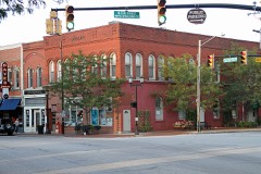 | Smart Building | 0.5 miles | 1983 |
| Whitney, Newel K., Store | 2.6 miles | 1984 | |
| Kirtland Temple | 2.6 miles | 1969 | |
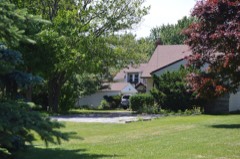 | Foster, Claud, House | 3.4 miles | 2004 |
 | Lawnfield--James A. Garfield Estate (Additional Documentation and Boundary Clarification) | 3.7 miles | 2015 |
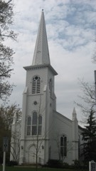 | Old South Church | 3.8 miles | 1973 |
| National Archives record | The nomination case file for reference 100009151 in Record Group 79. |
| Lake County | All 75 listed properties in this county. |