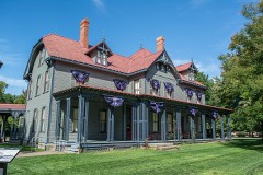
Listed on the National Register of Historic Places in
1983. A historic map-sheet match is not published yet. The record needs a coordinate-quality review before it can be joined to a sheet boundary.
From the record
one of 75 National Register listings in Lake County · listed in 1983 · category: Building · one of 2 National Historic Landmarks in Lake County.
National Register reference number.83001989- the number the National Park Service assigned this property when it was listed, and the key its nomination file is catalogued under at the National Archives.
Fires near this property
1 since 2003
Regional context, not property-specific
evidence. The
federal wildfire occurrence database
lists 1 fire within 5 miles of Smart Building between
2003 and 2003, burning about 400 acres in total. None started naturally. None was recorded as arson.
Distance is straight-line from the map coordinates, so a fire counted
here may appear on a neighbouring settlement's page as well.
Reported cause
Fires
Missing data/not specified/undetermined
1
The most recent of
them, most recent first, with the day each was reported and the service
that recorded it.
Regional context, not property-specific
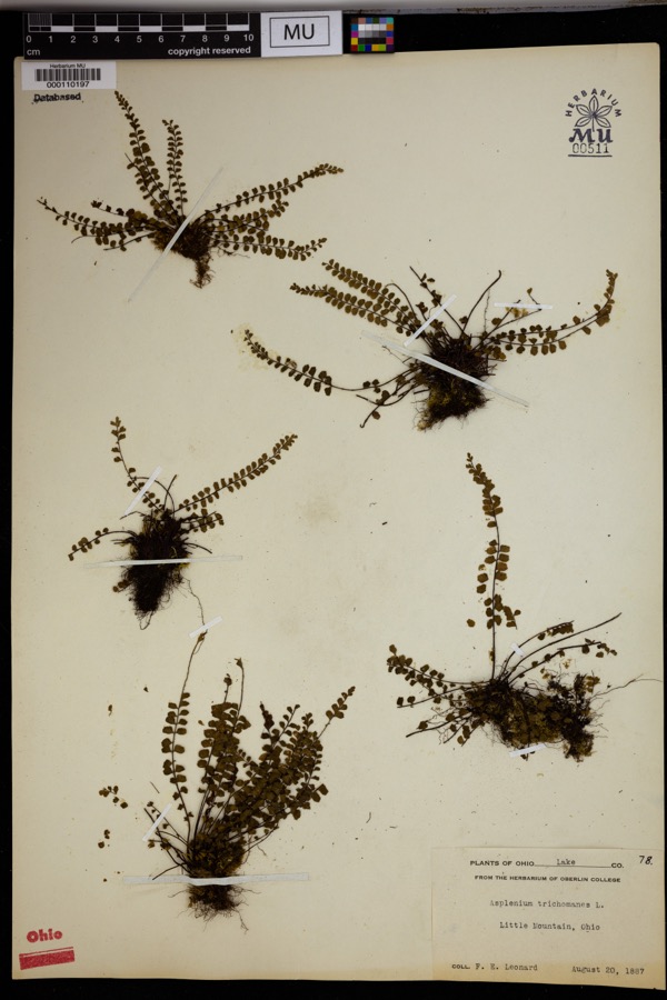
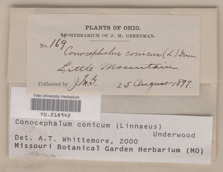
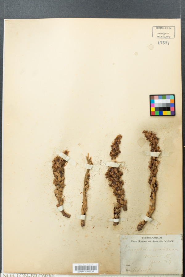
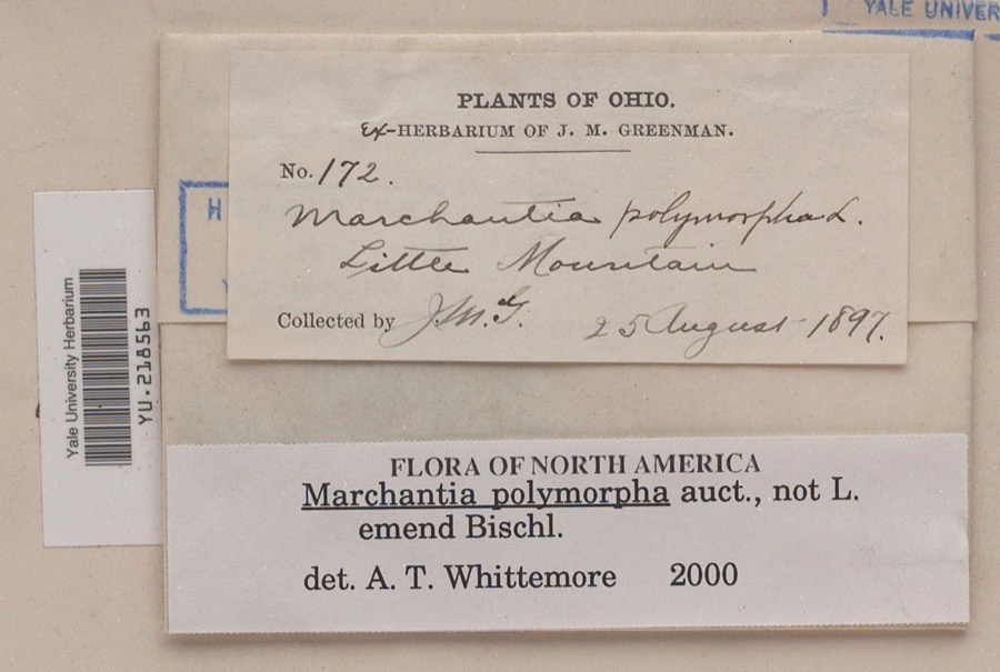
evidence. Museums hold 1,059 specimens
collected within 10 miles of Smart Building between 1887 and
1975: 1,006 Animalia, 39 Plantae, 12 Fungi, 1 Chromista, 1 Unrecorded. 12 distinct Species records are shown.
Collected by A. Doolittle, A. F. Clewell, A. Woolman and others. Each is a
physical object with a catalogue
number, and each entry opens the museum's record. This is what was
collected and kept, not a survey of what lives here - nothing can be
concluded from a species being absent.
Regional context, not property-specific
evidence. The federal mineral resources record lists
3 workings within 5 miles of Smart Building: 3 producers.
All of them still produce. What was taken out: Silica, Abrasive. Distance is straight-line from the
map coordinates, so a quarry counted here may appear on a neighbouring
settlement's page as well.
Regional context, not property-specific
evidence. The National Weather Service names
Willoughby, the town this property stands in, in 22 storm reports between 1996 and 2025: 10 hail, 9 thunderstorm wind, 2 flood, 1 flash flood.
No death or injury is recorded in these reports. Each account below is quoted exactly as the forecast office
filed it, from the NOAA Storm Events Database, and each date
opens the federal record of that event.
Thunderstorm winds in excess of 60 mph downed dozens of trees and caused widespread power outage. In excess of 3,000 utility customers lost power during this event.
Runoff from heavy rains on January 5th caused the Chagrin River in Willoughby to go above the flood stage of 11 feet during the evening hours of January 5th. The river crested at 13.04 feet around midnight on the 6th and fell back below flood stage around 9 a.m. on the 6th. Flooding occurred along the northern sections of Trailard, Milann and Chagrin Drives in Willoughby Hills. Several homes on these streets sustained damage from flooding.
Widespread road closures due to flash flooding in Willoughby, Eastlake, and Willowick. Multiple water rescues conducted due to vehicles driving into flooded roadways. Road closures in this area included US-2 near Stevens Boulevard, Vine Street just east of US-2, Riverside Boulevard and Riverside Drive, and Lake Shore Boulevard near Vine Street. Radar estimated 2.25 to 3 inches of rainfall in a three to four hour period, with 1 to 1.5 inches of rain falling in the hour immediately preceding the flash flooding.
Law Enforcement reported trees and wires brought down by strong thunderstorm winds in Willoughby and Mentor. This included a telephone pole that landed across Route 306 and Route 20.
An ice jam stretching from the railroad bridge south of the SR 2 bridge to the Chargrin River Park closed several roads and the park itself as water and ice came out of the riverbed. Lost Nation Road was shut down between Pelton Road and Apollo Parkway in Willoughby as well as Erie Street between Gilson Park and St. Clair Street. Roads by Daniels Park were also closed. Though some residents evacuated, no homes were flooded. Two people had to be rescued after driving into a flooded road.
No historic map-sheet match is published
for this property yet. That does not mean no map exists. This record needs
a coordinate-quality review before it can be joined to a sheet boundary.
Browse the county's mapped places while that work is
pending.
From the nomination file
2,709 words on record
When this property was proposed for the
National Register, someone wrote the case for it: what the building is,
and why it matters. That document is a federal record in the public domain.
It is quoted below word for word, never summarised. The text was read off the scanned case file by machine, so the
occasional stray character is the recogniser's and the 1970s
typewriter's.
Description of the property
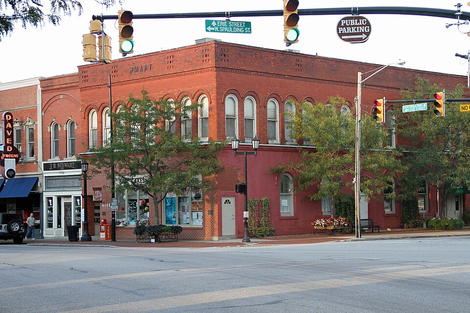
The principle decorative features of the second story are the ranks of tall, ar- curvilinear molded brick. From early photographs and contemporary evidence, all the windows building at the V formed by the intersection of River Street and Euclid Avenue, is the unexposed deteriorated unaltered frieze. original site This earlier building is not part of the original Smart structure soldiers' monument and park, the area which functioned historically as Willoughby's public ned lunets. story attached building.
spaced.Two additional groups of three are found on the rear, partially obscured by a one were double hung with one light per sash.The patterns of the window sets appear to be ra- The two south entries repeat the arcaded theme, one boasting what appears to be Areas of Significance-Check and justify below - prehistoric - archeology-historic _ conservation . law . science - agriculture - literature - sculpture - military _ social/ .art - music . theater - industry XX politics/government Statement of
Statement of significance
(in one paragraph) Samuel Welch Smart, banker and merchant, was born in 1830 to an early Western Reserve set- tler, Samuel Smart, whose peripatetic journeyings from his native England through a number to Willoughby, after trying his luck as far afield as Indiana, by virtue of its having been named after the doctor who delivered him in Herkimer County, N.Y., and by the opportunities ected the fourth mayor of Willoughby. In the latter part of the 19th century, Samuel W. Smart branched out into insurance them into the Bank of Willoughby, housed in his 1885 Smart Building where the bank remained 1910 to 1914 (the 11th). One of Samuel W. Smart's sons, Samuel Holmes Smart, continued the 1926-1934 (the 22nd), and, in turn, raised a son, Roger E.
Smart, to become a Lake County loughby College) founded by, among others, who else but Sidney V. Wilson (who also served as a trustee of the Medical College). Willoughby Township, in 1815, by virtue of its land and 1600-1699 communications economics 1700-1799 1400-1499 architecture education Builder/Architect invention engineering humanitarian unknown Period asty, encompassing four generations and 130 years of Lake County history. Wilson married Smart's daughter Hepzibah in 1856,one year before his father-in-law was el- As the fortunes of the Smart-Wilson combine grew, so did their ancillary commercial activi- The environment which produced such prodigious and sustained civic participation was itself _1500-1599 and the Village Council.
banking activities of his father; another son,James Harrow Smart, took his turn as mayor in Willoughby, is significant as a monument to the integration of commerce and public service 8.
Quoted from the National Register nomination
for reference 83001989, 18 pages, held by the National Archives in Record
Group 79. See the
catalogue record.
Listed places nearby
6 within 8 miles
Other National Register properties close
enough to walk or drive between, ordered by distance from this one. Both
positions come from the same geocoding pass that matched these properties
to their map sheets.
Listing record. National Park Service National Register of Historic Places, listed-properties dataset, current to 2026-05-22.
Map join. Address geocoded through the United States Census geocoder, then tested against the published boundary of every sheet in the USGS Historical Topographic Map Collection.
How this page is made. Listing fields come from federal records; map-sheet coverage is a labelled coordinate-to-boundary calculation, not a source-field claim.
Wildfire. Short, Karen C. 2022. Spatial wildfire occurrence data for the United States, 1992-2020 [FPA_FOD_20221014]. 6th Edition. Fort Collins, CO: Forest Service Research Data Archive. https://doi.org/10.2737/RDS-2013-0009.6 Collected with United States Government funding and usable without additional permissions or fees.
Specimens. Global Biodiversity Information Facility (GBIF), https://www.gbif.org/. Only records licensed CC0 or CC BY are used. Records licensed CC BY-NC are excluded because this site carries advertising. Images are checked individually and any whose licence is non-commercial, no-derivatives or unreadable is refused.
Mines and quarries. USGS Mineral Resources Data System (MRDS) https://mrdata.usgs.gov/mrds/ A work of the United States government, no copyright under 17 U.S.C. 105.
Storms. NOAA National Centers for Environmental Information, Storm Events Database https://www.ncei.noaa.gov/stormevents/ A work of the United States government, no copyright under 17 U.S.C. 105. Narratives are quoted verbatim from the National Weather Service report and are not edited or summarised.
 Block
Block