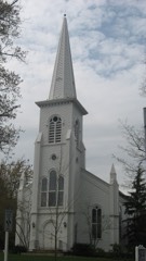
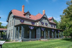
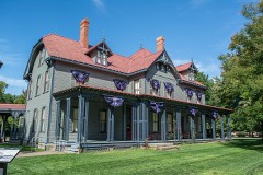
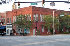
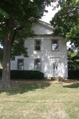
Listed on the National Register of Historic Places in
1984. A historic map-sheet match is not published yet. The record needs a coordinate-quality review before it can be joined to a sheet boundary.
From the record
“Newel Kimball Whitney was a prominent member and leader in the Latter Day Saint movement and an American businessman. Whitney married Elizabeth Ann Smith in 1822.”
Wikipedia article Newel K. Whitney, CC BY-SA 4.0.
one of 75 National Register listings in Lake County · listed in 1984 · category: Building · one of 2 National Historic Landmarks in Lake County.
Architectural style. Greek Revival architecture, Federal architecture
National Register reference number.84003759- the number the National Park Service assigned this property when it was listed, and the key its nomination file is catalogued under at the National Archives.
Fires near this property
1 since 2003
Regional context, not property-specific
evidence. The
federal wildfire occurrence database
lists 1 fire within 5 miles of Whitney, Newel K., Store between
2003 and 2003, burning about 400 acres in total. None started naturally. None was recorded as arson.
Distance is straight-line from the map coordinates, so a fire counted
here may appear on a neighbouring settlement's page as well.
Reported cause
Fires
Missing data/not specified/undetermined
1
The most recent of
them, most recent first, with the day each was reported and the service
that recorded it.
Regional context, not property-specific
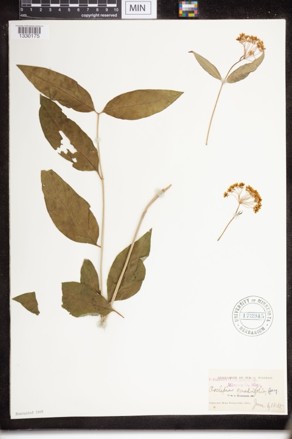
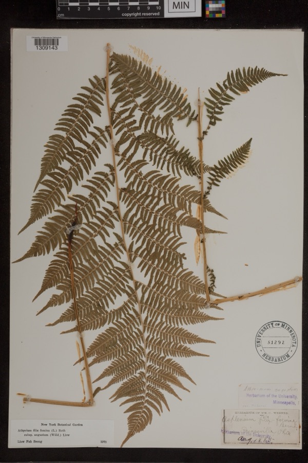
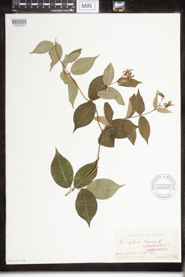
evidence. Museums hold 1,434 specimens
collected within 10 miles of Whitney, Newel K., Store between 1864 and
1975: 1,206 Animalia, 149 Plantae, 69 Fungi, 6 Protozoa, 3 Unrecorded, 1 Chromista. 12 distinct Species records are shown.
Collected by A. Doolittle, A. F. Clewell, A. Woolman and others. Each is a
physical object with a catalogue
number, and each entry opens the museum's record. This is what was
collected and kept, not a survey of what lives here - nothing can be
concluded from a species being absent.
Regional context, not property-specific
evidence. The federal mineral resources record lists
2 workings within 5 miles of Whitney, Newel K., Store: 2 producers.
All of them still produce. What was taken out: Silica, Sand and Gravel, Construction. Distance is straight-line from the
map coordinates, so a quarry counted here may appear on a neighbouring
settlement's page as well.
Regional context, not property-specific
evidence. The National Weather Service names
Kirtland, the town this property stands in, in 18 storm reports between 1994 and 2023: 9 thunderstorm wind, 7 hail, 1 flash flood, 1 tornado.
No death or injury is recorded in these reports. Each account below is quoted exactly as the forecast office
filed it, from the NOAA Storm Events Database, and each date
opens the federal record of that event.
A tornado with estimated peak winds of 110 mph impacted Mentor. The tornado began just west of Dartmoor Road near Mentor Avenue, where large trees were downed. Numerous additional trees were downed as the tornado tracked generally eastward. Multiple homes along Stockridge Road and Middlesex Road sustained damage (e.g. roof and siding damage) from downed trees. Extensive tree damage also occurred at the Great Lakes Mall property before the tornado shifted east-northeastward and damaged additional trees and power lines near the intersection of Johnnycake Ridge Road and Fairview Avenue. Tree damage also occurred in Wildwood Park before the tornado ended along Chillicothe Road, just south of Donald E. Kruger Park.
Penny size hail was observed. Hail ranged in size between penny and pea size and lasted for several minutes covering the ground, and accumulating to around an inch.
No historic map-sheet match is published
for this property yet. That does not mean no map exists. This record needs
a coordinate-quality review before it can be joined to a sheet boundary.
Browse the county's mapped places while that work is
pending.
From the nomination file
2,715 words on record
When this property was proposed for the
National Register, someone wrote the case for it: what the building is,
and why it matters. That document is a federal record in the public domain.
It is quoted below word for word, never summarised. The text was read off the scanned case file by machine, so the
occasional stray character is the recogniser's and the 1970s
typewriter's.
Description of the property
The store front included an openable casement large fireplace.T the center of the south facade.A stair went down to the basement beneath this stair. room by the large brick fireplace, removed in the 1860s and now in the process of OMB No. 1024-0018 National Park Service For NPS use only Whitney, Newel, K., Store, Kirtland, Lake County, Ohio - Item number and hallways taking up the space between them. Originally, the entire floor was probably open for storage, with the four rooms partitioned off in the early 1830s as they were as a bedroom, the southeast probably as an office and sitting room, and the southwest the school room, which had tongue and groove panelling on all walls and ceiling.
partions have been changed, the general appearance of the structure remains, and all unparalleled in northeastern Ohio. (3-82) Page received Inventory-Nomination Form public as a historic site and house museum.Especially significant in assessing the Continuation sheet National Register of Historic Places twentieth century partitions have been removed in preparation for the restoration of The second floor of the building has been remodelled several times.Most of the United States Department of the Interior will be restored as much as possible to their original appearance to be open to the NPS Form 10-900-a Exp. 10-31-84 the building. There were four main rooms on this floor, one in each corner, with stairs needed.
The northeast room was used as a school for early Mormon leaders, the northwest probably as a storeroom and extra bedroom.
(in one paragraph) literature The Newel K.Whitney Store is significant under Criteria A.and B for its association The Newel K.Whitney Store is an example of a general store of the 1820s and 1830s out the rest of the century,and was also used in this century asa tavern,and a archeology-prehistoric - community planning building, Whitney's second in Kirtland, was built in 1826 and 1827, and served as the including the "Word of Wisdom" (the Church's health code), worked on a new translation Joseph III, was born here in 1832.
He later became the leader of the Reorganized science Whitney family for more than a decade.It continued to serve as a general store through- of Latter-day Saints in 1830, the year of the organization of the church.This store Whitney and his wife were among the first Ohio converts to The Church of Jesus Christ The store was an important part of the Kirtland economy in the 1820s and Kirtland, Ohio, Town Clerk, Plat Books, G.S. #877,766,885, 082 and Deed books, 8-14. Edward W. Tullidge, Women of Mormondom p. 32-33. Joseph Smith, History of the Church and B.H. Roberts, Comprehensive History of the Church. Quadrangle name _ UT M References property map.
street & number Utah 84150 665),I hereby nominate this property for inclusion in the National Register and certify that it has been evaluated according to the criteria and procedures set forth by the National Park Service. State Historic Preservation Officer signature For NPS use only hereby certify that this property is included in the National Register Chief of Registration U.S. GOVERNMENT PRINTING OFFICE : 1983 0 - 419-311 code Mentor county date Easting Saints Northing Zone Attest: local national 10.
Quoted from the National Register nomination
for reference 84003759, 28 pages, held by the National Archives in Record
Group 79. See the
catalogue record.
Listed places nearby
6 within 8 miles
Other National Register properties close
enough to walk or drive between, ordered by distance from this one. Both
positions come from the same geocoding pass that matched these properties
to their map sheets.
Listing record. National Park Service National Register of Historic Places, listed-properties dataset, current to 2026-05-22.
Map join. Address geocoded through the United States Census geocoder, then tested against the published boundary of every sheet in the USGS Historical Topographic Map Collection.
How this page is made. Listing fields come from federal records; map-sheet coverage is a labelled coordinate-to-boundary calculation, not a source-field claim.
Wildfire. Short, Karen C. 2022. Spatial wildfire occurrence data for the United States, 1992-2020 [FPA_FOD_20221014]. 6th Edition. Fort Collins, CO: Forest Service Research Data Archive. https://doi.org/10.2737/RDS-2013-0009.6 Collected with United States Government funding and usable without additional permissions or fees.
Specimens. Global Biodiversity Information Facility (GBIF), https://www.gbif.org/. Only records licensed CC0 or CC BY are used. Records licensed CC BY-NC are excluded because this site carries advertising. Images are checked individually and any whose licence is non-commercial, no-derivatives or unreadable is refused.
Mines and quarries. USGS Mineral Resources Data System (MRDS) https://mrdata.usgs.gov/mrds/ A work of the United States government, no copyright under 17 U.S.C. 105.
Storms. NOAA National Centers for Environmental Information, Storm Events Database https://www.ncei.noaa.gov/stormevents/ A work of the United States government, no copyright under 17 U.S.C. 105. Narratives are quoted verbatim from the National Weather Service report and are not edited or summarised.
 Block
Block