BlockBefore
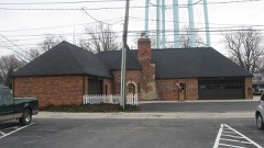
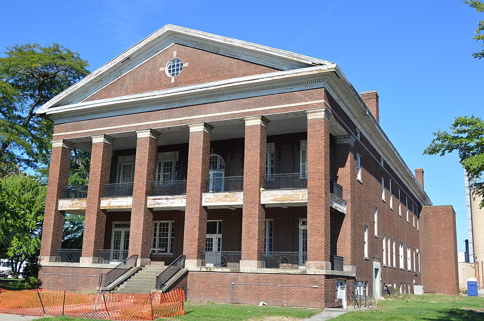
Photograph of Edward Ford Plate Glass Company Employee Relations Building
Photograph by Nyttend, Public domain. Via Wikimedia Commons.

Ford, Edward, Plate Glass Company Employee Relations Building

Built in 1917 in the Neoclassical architecture. Listed on the National Register of Historic Places in 2016. A historic map-sheet match is not published yet. The record needs a coordinate-quality review before it can be joined to a sheet boundary.

From the record

one of 21 National Register listings in Wood County · listed in 2016 · category: Building · built in 1917, Neoclassical architecture · one of 1 National Historic Landmarks in Wood County.

Sources: the National Register database, National Park Service
The listing

  • What is counted as historic. The nomination lists 1 building as contributing to the listing.
  • Address. 140 Dixie Highway, Rossford, 43460
  • When was it listed? 2016-08-15
  • Category. building
  • Township. Rossford city
  • When was it built? 1917
  • Architectural style. Neoclassical architecture
  • National Register reference number. 16000600 - assigned by the National Park Service when the property was listed.
Specimens collected near this property

12 of 148 shown

Regional context, not property-specific evidence. Museums hold 148 specimens collected within 10 miles of Ford, Edward, Plate Glass Company Employee Relations Building between 1875 and 1975: 142 Animalia, 4 Plantae, 2 Fungi. 12 distinct Species records are shown. Collected by A. Lose, Aborn, R., C. Rutter and others. Each is a physical object with a catalogue number, and each entry opens the museum's record. This is what was collected and kept, not a survey of what lives here - nothing can be concluded from a species being absent.

Image SpeciesYear Collected by Where, as recorded
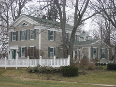
Specimen of Zenaida macroura carolinensis (Linnaeus, 1766)Zenaida macroura carolinensis (Linnaeus, 1766)1907L. L. RedickPerrysburg
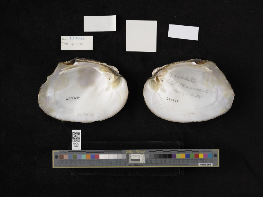
Specimen of Amblema plicata (Say, 1817)Amblema plicata (Say, 1817)1908not recordedMaumee
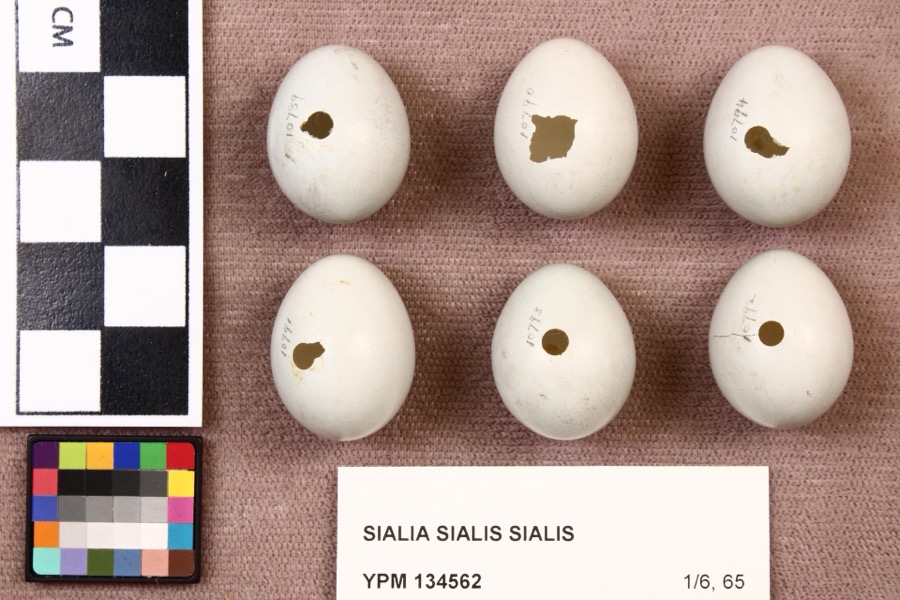
Specimen of Sialia sialis sialis (Linnaeus, 1758)Sialia sialis sialis (Linnaeus, 1758)1920L. L. RedickPerrysburg
A photograph of the species Cardinalis cardinalis, not of this specimenCardinalis cardinalis cardinalis (Linnaeus, 1758)1875LangdonIndian Hill, Kane County
A photograph of the species Orconectes propinquus, not of this specimenOrconectes propinquus (Girard, 1852)1893P. KirschMaumee Basin
A photograph of the species Palaemonetes kadiakensis, not of this specimenPalaemonetes kadiakensis M.J.Rathbun, 19021893P. KirschMaumee Basin
A photograph of the species Ambloplites rupestris, not of this specimenAmbloplites rupestris (Rafinesque, 1817)1894C. RutterToledo (Perrysburg), Ohio
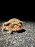
A photograph of the species Anaxyrus americanus, not of this specimenAnaxyrus americanus (Holbrook, 1836)1894not recordedPerrysburg, Maumee River
A photograph of the species Cambarus rusticus, not of this specimenCambarus rusticus Girard, 18521894C. RutterPerrysburg, Presque Isle
A photograph of the species Dorosoma cepedianum, not of this specimenDorosoma cepedianum (Lesueur, 1818)1894C. RutterMaumee River at Perrysburg, Ohio
A photograph of the species Graptemys geographica, not of this specimenGraptemys geographica (Lesueur, 1817)1894not recordedPerrysburg, Maumee River
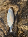
A photograph of the species Hiodon tergisus, not of this specimenHiodon tergisus Lesueur, 18181894C. RutterMaumee River at Perrysburg, Ohio

All 148 specimens within 10 miles, at the Global Biodiversity Information Facility.

Storms near this property

10 since 1999

Regional context, not property-specific evidence. The National Weather Service names Rossford, the town this property stands in, in 10 storm reports between 1999 and 2026: 5 thunderstorm wind, 5 hail. No death or injury is recorded in these reports. Each account below is quoted exactly as the forecast office filed it, from the NOAA Storm Events Database, and each date opens the federal record of that event.

WhenEvent Place namedHarm What the report says
June 2011Thunderstorm WindRossford$75,000Thunderstorm winds downed numerous large trees and utility poles. Five vehicles sustained damage from the downed trees.
July 2003Thunderstorm WindRossford$15,000Thunderstorm winds downed a few trees in Rossford and Walbridge.
April 2026HailRossford-Hail up to penny-size in Rossford.
May 2020Thunderstorm WindRossford-Multiple trees down in Rossford. Estimated 60 mph peak wind gust from thunderstorm.
August 2019Thunderstorm WindRossford-Multiple trees were blown down.
May 2004HailRossford-Penny size hail was observed.
April 2001HailRossford-Dime size hail was reported.
June 2019HailRossford-no account filed
May 2010HailRossford-no account filed
May 1999Thunderstorm WindRossford-no account filed

Every storm recorded in Wood County

Map coverage status

No historic map-sheet match is published for this property yet. That does not mean no map exists. This record needs a coordinate-quality review before it can be joined to a sheet boundary. Browse the county's mapped places while that work is pending.

Listed places nearby

6 within 8 miles

Other National Register properties close enough to walk or drive between, ordered by distance from this one. Both positions come from the same geocoding pass that matched these properties to their map sheets.

Photograph PropertyDistance Listed
Simmons, Edwin H., House5.0 miles1991
Perrysburg Water Maintenance Building5.5 miles1990
Schaller Memorial Building5.5 miles1990
Hood-Simmons House5.6 miles1974
Old Wood County Jail5.6 miles1969
Yeager, John J., House5.7 miles1985

Sources for this property

National Archives recordThe nomination case file for reference 16000600 in Record Group 79.
Wood CountyAll 21 listed properties in this county.

Provenance

  • Listing record. National Park Service National Register of Historic Places, listed-properties dataset, current to 2026-05-22.
  • Map join. Address geocoded through the United States Census geocoder, then tested against the published boundary of every sheet in the USGS Historical Topographic Map Collection.
  • How this page is made. Listing fields come from federal records; map-sheet coverage is a labelled coordinate-to-boundary calculation, not a source-field claim.
  • Specimens. Global Biodiversity Information Facility (GBIF), https://www.gbif.org/. Only records licensed CC0 or CC BY are used. Records licensed CC BY-NC are excluded because this site carries advertising. Images are checked individually and any whose licence is non-commercial, no-derivatives or unreadable is refused.
  • Storms. NOAA National Centers for Environmental Information, Storm Events Database https://www.ncei.noaa.gov/stormevents/ A work of the United States government, no copyright under 17 U.S.C. 105. Narratives are quoted verbatim from the National Weather Service report and are not edited or summarised.