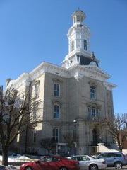
Listed on the National Register of Historic Places in
1970. A historic map-sheet match is not published yet. The record needs a coordinate-quality review before it can be joined to a sheet boundary.
From the record
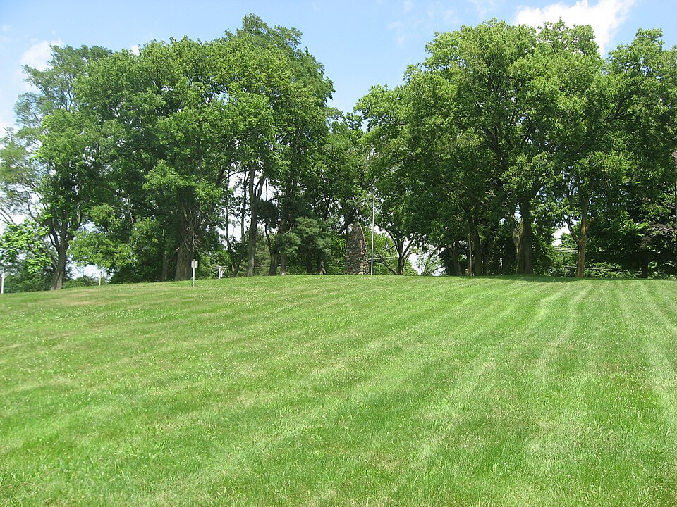
“Fort Jefferson was a fortification erected by soldiers of the United States Army in October 1791 during the Northwest Indian War. Built to support a military campaign, it saw several years of active fighting.”
Wikipedia article Fort Jefferson (Ohio), CC BY-SA 4.0.
one of 25 National Register listings in Darke County · listed in 1970 · category: Site.
National Register reference number.70000488- the number the National Park Service assigned this property when it was listed, and the key its nomination file is catalogued under at the National Archives.
The pioneer settler in the lands now constituting Neave Township was Andrew Noftsinger. who came to Darke Count}' in 1810. Sometime about 1817, he built a grist-mill on Mud Creek, below the outlet of the lake, where later stood the mill of Dr. Otwell. In the order of construction, this was the third mill built in the county. At the old post, known as Fort Jefferson, James Hayes was one of the earliest settlers. John Ryerson moved in in 1810. ami during the two vears following, settlement was made in the township by Moses Arnold, George W. Hight. William Townsend, Hezekiah Veitz. John Puterbaugh and Christian Schlechty.
When the settler wanted groceries, he went into the woods and cut a load of hoop-poles, and took them for sale to Martinsburg. Coonskins and hoop-poles were Darke County currency in those days. All the cabins, single and double, were built of logs, with puncheon-logs split and hewed on one side for floors ; greased paper took the place of glass, and wood latch and string were the pioneer's substitute for door-knob and bell. At this time there were only two cabins between what is now Louisburg and Matchett's Corner, and only one little cabin between Weaver's and Fort Jefferson. Deer, turkeys, bear and other animals abounded, and furnished meat supply to the table. Mr. Weaver himself killed about one hundred deer, two bears, and very many turkeys. As is the case with all old sportsmen, Mr. Weaver enjoys a relation of early experiences, and tells the following concerning a bear-hunt in which he was engaged.
Regional context, not property-specific
evidence. The
federal wildfire occurrence database
lists 1 fire within 5 miles of Fort Jefferson Site between
2002 and 2002, burning about 1 acres in total. None started naturally. None was recorded as arson.
Distance is straight-line from the map coordinates, so a fire counted
here may appear on a neighbouring settlement's page as well.
Reported cause
Fires
Equipment and vehicle use
1
The most recent of
them, most recent first, with the day each was reported and the service
that recorded it.
Regional context, not property-specific
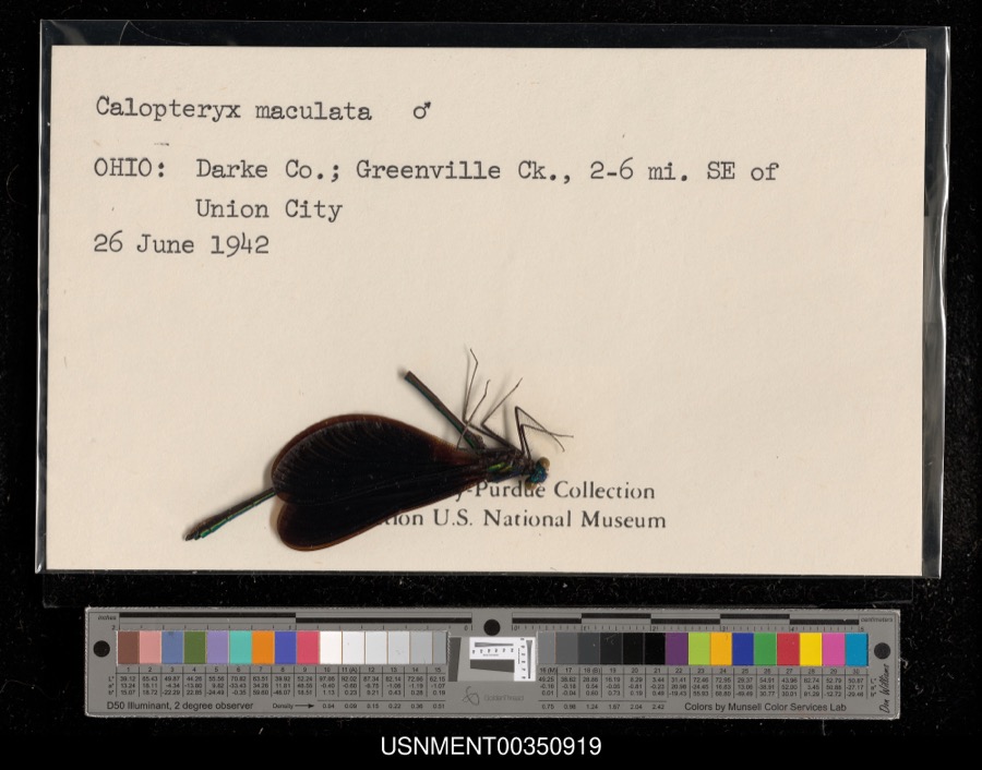
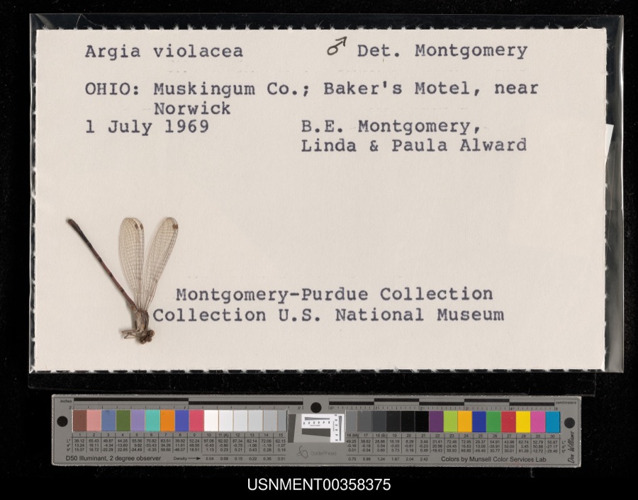
evidence. Museums hold 420 specimens
collected within 10 miles of Fort Jefferson Site between 1838 and
1975: 386 Animalia, 19 Plantae, 14 Fungi, 1 Chromista. 12 distinct Species records are shown.
Collected by A VERWYST, A. F. C.; Stover, W. G., Albrecht, C. and others. Each is a
physical object with a catalogue
number, and each entry opens the museum's record. This is what was
collected and kept, not a survey of what lives here - nothing can be
concluded from a species being absent.
Regional context, not property-specific
evidence. The federal mineral resources record lists
8 workings within 5 miles of Fort Jefferson Site: 4 past producers, 3 producers, 1 plant.
4 still produce. What was taken out: Sand and Gravel, Construction, Clay, Stone, Crushed/Broken, Limestone, General. Distance is straight-line from the
map coordinates, so a quarry counted here may appear on a neighbouring
settlement's page as well.
No historic map-sheet match is published
for this property yet. That does not mean no map exists. This record needs
a coordinate-quality review before it can be joined to a sheet boundary.
Browse the county's mapped places while that work is
pending.
From the nomination file
1,897 words on record
When this property was proposed for the
National Register, someone wrote the case for it: what the building is,
and why it matters. That document is a federal record in the public domain.
It is quoted below word for word, never summarised. The text was read off the scanned case file by machine, so the
occasional stray character is the recogniser's and the 1970s
typewriter's.
Description of the property
Fort Jefferson was 35 yards square with a "good" bastion at each rooms formed the curtain or outerwalls, while a powder magazine, Today nothing remains of the original fort, but markers have been of the outerwalls, powder magazine, bullock pen, etc. A monument 13 1971 CONDITION Excellent REGISTER NATIONAL built of fieldstone has been erected. placed by The Ohio Historical Society indicating the original locations bullock pen and fenced garden were located outside the fort. (Check One) - Moved - Original Site corner, according to contemporary descriptions. Barracks and store Fair RECEIVED Good PERIOD (Check One or More as Appropriate) - Pre-Columbian ! X 18th Century SPECIFIC DATE(S) (lf Applicable and Known) - Political - Historic - Invention - Science - Transportation STATEMENT OF
Statement of significance
Territorial Governor, Arthur St. Clair, was charged with the responsi- of Fort Wayne, Indiana, and destroy them, erecting a series of forts Moving northward from Cincinnati, St. Clair's untrained troops arrived at the site of Fort Jefferson on October 13, 1791 and began immediately after the U.S. Secretary of State, Thomas Jefferson. Leaving a small defensive force behind, he marched north to disaster on the banks Ultimately, Wayne forced the Indian tribes to accept the Treaty of APR 13 1971 1791 Conservation losophy Engineering Commerce Communications Aboriginal Architecture Literature SIGNIFICANCE Theater REGISTER Art Agriculture NATIONAL Music Landscape Social/Human- Sculpture by The Ohio Historical Society.
Religion/Phi- Urban Planning Industry After the crushing defeat of Gen.Harmar's expedition against the along the route to provide continued security for the frontier. in the Northwest Territory victorious campaign of 1793-94 Fort Jefferson became a State Memorial in 1929.The site is administered Harmar's:he would march to the Miami yillages near the present city Miami Indians in 1790,the hostile tribes became bolder in their efforts General Anthony Wayne was then placed in command of the U.S.troops GreeneVille which opened much of Ohio to peaceful settlement. where it could be completed by the garrison.St.Clairnamed the fort made use of Fort Jefferson as an important link in the chain of supply.
Education to drive white settlers south of the Ohio River.In 1791,the Other AREAS OF SIGNIFICANCE (Check One or More as Appropriate) of the upper Wabash River,at what was later to become Fort Recovery. to erect a fort. By October 24, construction had reached the point Military itarian bility of halting the Indian depredations.His plan was similar to Built by Generals Arthur St. Clair, Anthony Wayne, and William Henry
Quoted from the National Register nomination
for reference 70000488, 15 pages, held by the National Archives in Record
Group 79. See the
catalogue record.
Listed places nearby
6 within 8 miles
Other National Register properties close
enough to walk or drive between, ordered by distance from this one. Both
positions come from the same geocoding pass that matched these properties
to their map sheets.
Listing record. National Park Service National Register of Historic Places, listed-properties dataset, current to 2026-05-22.
Map join. Address geocoded through the United States Census geocoder, then tested against the published boundary of every sheet in the USGS Historical Topographic Map Collection.
How this page is made. Listing fields come from federal records; map-sheet coverage is a labelled coordinate-to-boundary calculation, not a source-field claim.
Wildfire. Short, Karen C. 2022. Spatial wildfire occurrence data for the United States, 1992-2020 [FPA_FOD_20221014]. 6th Edition. Fort Collins, CO: Forest Service Research Data Archive. https://doi.org/10.2737/RDS-2013-0009.6 Collected with United States Government funding and usable without additional permissions or fees.
Specimens. Global Biodiversity Information Facility (GBIF), https://www.gbif.org/. Only records licensed CC0 or CC BY are used. Records licensed CC BY-NC are excluded because this site carries advertising. Images are checked individually and any whose licence is non-commercial, no-derivatives or unreadable is refused.
Mines and quarries. USGS Mineral Resources Data System (MRDS) https://mrdata.usgs.gov/mrds/ A work of the United States government, no copyright under 17 U.S.C. 105.
 Block
Block