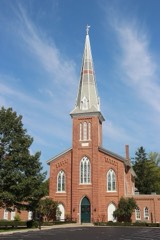
Listed on the National Register of Historic Places in
1970. A historic map-sheet match is not published yet. The record needs a coordinate-quality review before it can be joined to a sheet boundary.
From the record
“Different priests came from time to time to minister to the spiritual ants of the Catholics of Miamisburg, Father Mauclire, a native of France, king charge in 1861 and remaining until 1873, in which year the fii'st resist pastor was stationed here in the person of the Rev. Anton Leitnir, a nave of Tyrol, Austria, who performed the first baptism for this congregation, jmuary 18, 1873.”
The History of Montgomery County, Ohio, Containing a History of the County; (1882). Machine-read text.
one of 117 National Register listings in Montgomery County · listed in 1970 · category: Site · one of 4 National Historic Landmarks in Montgomery County.
National Register reference number.70000511- the number the National Park Service assigned this property when it was listed, and the key its nomination file is catalogued under at the National Archives.
Water was let into the canal from the mill-race near the corner of Fift and Wyandot streets, Dayton, Friday evening, September 26, 1828. Most of j leaked through the embankment along the river at the bluffs in Van Bure Township ; and a break was made in the embankment there November 24 Wednesday, December 17, the packet Alpha, with a party of Dayton ladies an gentlemen, made a trip to Hole's Creek. With another Dayton party, she mad her next trip to Miamisburg, Monday, the 22d, and returned to Dayton on Wee -nesday; and made a second trip to Miamisburg on Christmas Day, returnin Friday.
The Great Miami Turnpike Company, to run from Dayton over the hills Carrollton, and on down the valley through Miamisburg, Franklin and Middlj town to its junction with the Cincinnati Pike at Sharon, was chartered in Marc 1837. Construction was commeneed in the summer of 1838.
Regional context, not property-specific
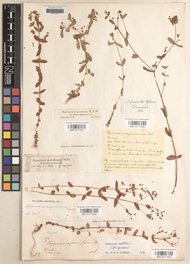
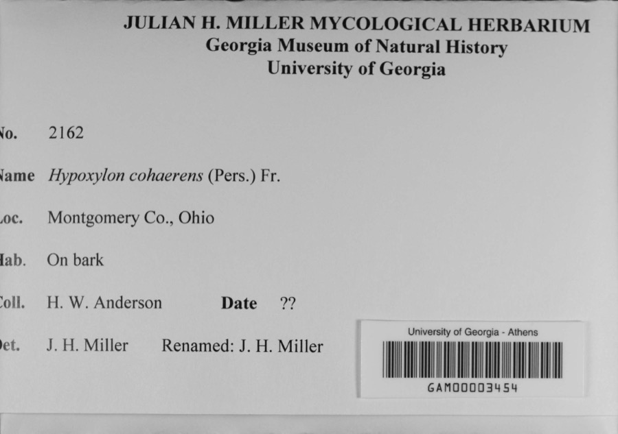
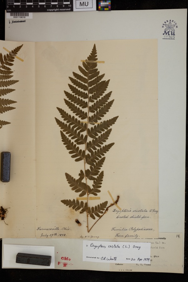
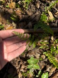
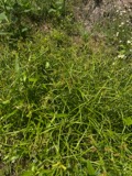
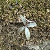
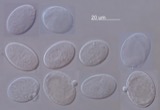
evidence. Museums hold 225 specimens
collected within 10 miles of Miamisburg Mound between 1835 and
1975: 175 Animalia, 31 Plantae, 12 Fungi, 3 Protozoa, 3 Chromista, 1 Unrecorded. 12 distinct Species records are shown.
Collected by ?, A JOHN, A JOHN AND W E DUELLMAN and others. Each is a
physical object with a catalogue
number, and each entry opens the museum's record. This is what was
collected and kept, not a survey of what lives here - nothing can be
concluded from a species being absent.
Regional context, not property-specific
evidence. The federal mineral resources record lists
8 workings within 5 miles of Miamisburg Mound: 6 producers, 2 past producers.
6 still produce. What was taken out: Sand and Gravel, Construction. Distance is straight-line from the
map coordinates, so a quarry counted here may appear on a neighbouring
settlement's page as well.
Regional context, not property-specific
evidence. The National Weather Service names
Miamisburg, the town this property stands in, in 33 storm reports between 1994 and 2025: 17 thunderstorm wind, 10 hail, 3 flash flood, 1 tornado.
The reports record 2 injuries. Each account below is quoted exactly as the forecast office
filed it, from the NOAA Storm Events Database, and each date
opens the federal record of that event.
A tornado touched down near the Dayton Mall to the east of Miamisburg and was on the ground for just under a mile. The tornado caused minor damage to a strip mall, a carpet business, a restaurant and a municipal bus outlet. A few trees were downed along the track of the tornado as well.
No historic map-sheet match is published
for this property yet. That does not mean no map exists. This record needs
a coordinate-quality review before it can be joined to a sheet boundary.
Browse the county's mapped places while that work is
pending.
From the nomination file
2,154 words on record
When this property was proposed for the
National Register, someone wrote the case for it: what the building is,
and why it matters. That document is a federal record in the public domain.
It is quoted below word for word, never summarised. The text was read off the scanned case file by machine, so the
occasional stray character is the recogniser's and the 1970s
typewriter's.
Statement of significance
about eight feet from the summit. At 24 feet, the explorers struck to build such & monumental earthwork, probably constructed in nineteenth century, the Mound has been a noted landmark. 9 1971 Commerce Architecture Communications Conservation Military SIGNIFICANCE Aboriginal GIST Transportation Engineering losophy Prehistoric Science Theater Literature itarian Landscape Invention Social/Human- Agriculture Sculpture Industry Religion/Phi Music The Mound was originally constructed by the prehistoric Adena American settlers to the Great Miami River Valley early in the A complete scientific exploration of Miamisburg Mound has never The Mound and surrounding area became a park when Charles Kettering Miamisburg Mound is the largest prehistoric burial mound in Ohio, increments over a long period.
Education edge and overlapped like shingles on a roof.The probe continued Mrs.E.J.Miller donated an additional two and a half acres in 1936. 20th Century land with its mound to The Ohio Historical Society in 1929. Mr.and Indians, 500 B.C.-400 A.D.The work probably dated from late Adena been conducted.In 1869,a group of citizens sunk a shaft to to a depth of two feet below ground level. O Political Art and reputedly in the eastern United States:Since the arrival of determine the purpose of the mound and locateda single skeleton AREAS OF One or More as Appropriate)
Quoted from the National Register nomination
for reference 70000511, 18 pages, held by the National Archives in Record
Group 79. See the
catalogue record.
Listed places nearby
6 within 8 miles
Other National Register properties close
enough to walk or drive between, ordered by distance from this one. Both
positions come from the same geocoding pass that matched these properties
to their map sheets.
Listing record. National Park Service National Register of Historic Places, listed-properties dataset, current to 2026-05-22.
Map join. Address geocoded through the United States Census geocoder, then tested against the published boundary of every sheet in the USGS Historical Topographic Map Collection.
How this page is made. Listing fields come from federal records; map-sheet coverage is a labelled coordinate-to-boundary calculation, not a source-field claim.
Specimens. Global Biodiversity Information Facility (GBIF), https://www.gbif.org/. Only records licensed CC0 or CC BY are used. Records licensed CC BY-NC are excluded because this site carries advertising. Images are checked individually and any whose licence is non-commercial, no-derivatives or unreadable is refused.
Mines and quarries. USGS Mineral Resources Data System (MRDS) https://mrdata.usgs.gov/mrds/ A work of the United States government, no copyright under 17 U.S.C. 105.
Storms. NOAA National Centers for Environmental Information, Storm Events Database https://www.ncei.noaa.gov/stormevents/ A work of the United States government, no copyright under 17 U.S.C. 105. Narratives are quoted verbatim from the National Weather Service report and are not edited or summarised.
 Block
Block