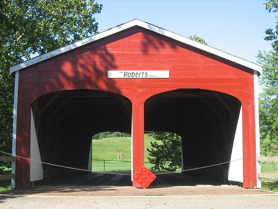
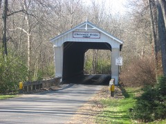
Built in 1829. Listed on the National Register of Historic Places in
1971. A historic map-sheet match is not published yet. The record needs a coordinate-quality review before it can be joined to a sheet boundary.
From the record
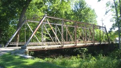
“The Roberts Covered Bridge is a Burr Truss covered bridge in Preble County, Ohio near Eaton. It was built in 1829, and was listed on the National Register of Historic Places in 1971.”
Wikipedia article Roberts Covered Bridge, CC BY-SA 4.0.
one of 16 National Register listings in Preble County · listed in 1971 · category: Structure · built in 1829.
National Register reference number.71000651- the number the National Park Service assigned this property when it was listed, and the key its nomination file is catalogued under at the National Archives.
The ground it stands on
35,662 words
The chapter on Gasper Township in History of Preble County Ohio, published 1881 names Eaton. This is what it says, exactly as the scans read.
This is a fractional township, and prior to 18 - was embraced in Washington township, which was at first twelve miles long and six broad. Eaton was the official center of the township, and it was not long before there was a demand for a division of the territory and the establishment of a new township. This demand became popular and resulted in the shape of a petition urging that of the southern part of Washington township a new township be established. But the county commissioners were inclined to be conservative and the petitioners did not receive a favorable answer. 'Though for a time the project was an apparent failure, the cause survived. The people of the little township owe their independence to their importunity of one of the first settlers.
It has generally been thought that the first settler in this township was Gasper Potterf, after whom the township was named, but after a careful investigation the writer finds that Silas Dooley, sr., settled on Paint creek, in the western part of the township, in 1805, while Potterf located on Seven Mile creek, in the eastern part, in 1806. We will therefore, begin with Silas Dooley, sr. The writer gleans most-of his facts respecting the settlement of Mr. Dooley from an interview held with a friend a few years prior to the death of the aged pioneer, and published at the time in the Eaton Register, February 20, 1873.
Regional context, not property-specific
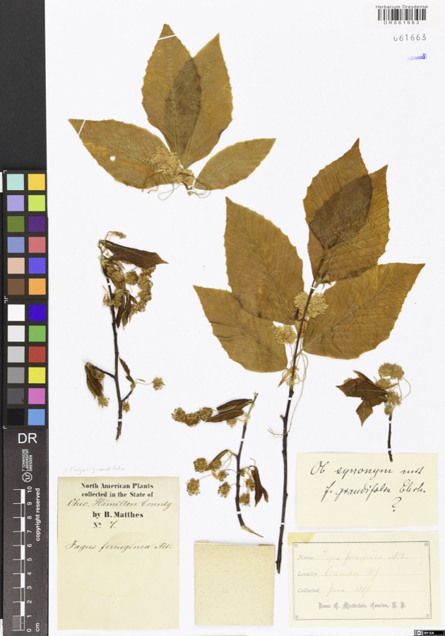
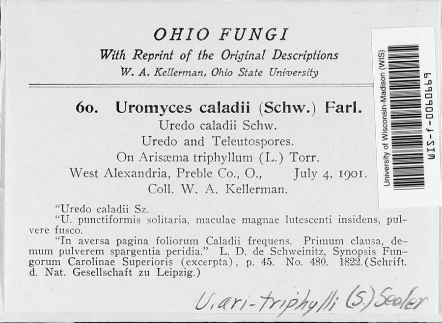
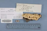
evidence. Museums hold 1,009 specimens
collected within 10 miles of Roberts Covered Bridge between 1877 and
1975: 810 Animalia, 159 Fungi, 40 Plantae. 12 distinct Species records are shown.
Collected by ?, A.R. Gaufin, H.H. Ross, Arden R. Gaufin and others. Each is a
physical object with a catalogue
number, and each entry opens the museum's record. This is what was
collected and kept, not a survey of what lives here - nothing can be
concluded from a species being absent.
Regional context, not property-specific
evidence. The National Weather Service names
Eaton, the town this property stands in, in 75 storm reports between 1994 and 2023: 43 thunderstorm wind, 19 hail, 10 flash flood, 2 flood.
No death or injury is recorded in these reports. Each account below is quoted exactly as the forecast office
filed it, from the NOAA Storm Events Database, and each date
opens the federal record of that event.
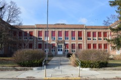
Fifteen or more large trees were knocked down near Eaton High School. An equipment trailer and a marching band tower were blown over by high wind, and there was damage to fencing at the athletic complex. Also, shingle damage occurred to roofs along Hillcrest Drive from wind and hail.
A two story 100 foot by 100 foot barn was destroyed. A camper was blown into the road near the intersection of US Route 35 and Wayne Trace Road just east of Eaton.
5 papers published in this town,
digitised by the Library of Congress and free to read: 0 issues,
0 pages. Every page is searchable, so a name or a street can be
looked for directly in what the town printed about itself at the time.
No historic map-sheet match is published
for this property yet. That does not mean no map exists. This record needs
a coordinate-quality review before it can be joined to a sheet boundary.
Browse the county's mapped places while that work is
pending.
From the nomination file
1,774 words on record
When this property was proposed for the
National Register, someone wrote the case for it: what the building is,
and why it matters. That document is a federal record in the public domain.
It is quoted below word for word, never summarised. The text was read off the scanned case file by machine, so the
occasional stray character is the recogniser's and the 1970s
typewriter's.
Description of the property
the main member was a horizontal siding. The bridge has been re-sided and re-floored. impossible to make an accurate analysis of stresses in the individual bridges by this system.Condit describes the Burr system as follows: side of the roadway, either outside or inside the truss plane.Thus the "The Burr bridge consisted of two separate parts: patented this structural system in 18l7.His was not a new idea, for clear span to 73'.The structure isprotected by a gable roof and of each arch is 1l'-6'above the floor.The third truss was used purely arches 6"by 15"poplar.Allof the poplar timbers are planed toa smooth UNITED STATES DEPARTMENT OF THE INTERIOR NATIONAL PARK SERVICE INVENTORY - NOMINATION FORM FOR NPS USE ONLY 6.
Survey of Historical Features - Southwestern Ohio October, 1970 1982 Velma Avenue 039 Columbus Ohio GP0901.082 (Continuation Sheet) (Number all entries) Roberts Covered Bridge The Ohio Historical Society NATIONAL REGISTER OF HISTORIC PLACES ENTRY NUMBER Form 10-300a cOUN F'reble (July 1969) PERIOD (Check One or More as Appropriate) - Pre-Columbian ! Other (Specify) - Literature The Roberts Covered Bridge, erected in 1829, is the oldest covered bridge Roberts, who did not live to see it finished, and Joseph Campbell for traffic on the Hamilton and Eaton Turnpike, which was privately owned and Today, this bridge is still in use, although the once heavily-traveled This marker was sponsoredby the Ohio Society of Professional Engineers 1829 Conservation Commerce Architecture
Statement of significance
United States. It is also the only covered, double-barrelled span (Check One or More as Appropriate) extant in Ohio and the second oldest covered bridge remaining in the operated under authority granted by the Ohio State Legislature. It was Art road on which it stands was long ago abandoned in favor of Ohio 127,which
Quoted from the National Register nomination
for reference 71000651, 12 pages, held by the National Archives in Record
Group 79. See the
catalogue record.
Listed places nearby
6 within 8 miles
Other National Register properties close
enough to walk or drive between, ordered by distance from this one. Both
positions come from the same geocoding pass that matched these properties
to their map sheets.
Listing record. National Park Service National Register of Historic Places, listed-properties dataset, current to 2026-05-22.
Map join. Address geocoded through the United States Census geocoder, then tested against the published boundary of every sheet in the USGS Historical Topographic Map Collection.
How this page is made. Listing fields come from federal records; map-sheet coverage is a labelled coordinate-to-boundary calculation, not a source-field claim.
Specimens. Global Biodiversity Information Facility (GBIF), https://www.gbif.org/. Only records licensed CC0 or CC BY are used. Records licensed CC BY-NC are excluded because this site carries advertising. Images are checked individually and any whose licence is non-commercial, no-derivatives or unreadable is refused.
Storms. NOAA National Centers for Environmental Information, Storm Events Database https://www.ncei.noaa.gov/stormevents/ A work of the United States government, no copyright under 17 U.S.C. 105. Narratives are quoted verbatim from the National Weather Service report and are not edited or summarised.
 Block
Block