Listed on the National Register of Historic Places in
1976. A historic map-sheet match is not published yet. The record needs a coordinate-quality review before it can be joined to a sheet boundary.
From the record
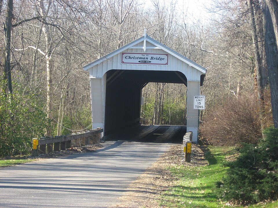
“The Christman Covered Bridge is a historic covered bridge that carries Eaton-New Hope Road over Seven Mile Creek in Washington Township, Preble County, Ohio, United States, northwest of the city of Eaton. Sherman, who built at least 20 covered bridges in Preble County.”
Wikipedia article Christman Covered Bridge, CC BY-SA 4.0.
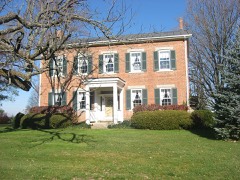
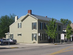
one of 16 National Register listings in Preble County · listed in 1976 · category: Structure.
National Register reference number.76001516- the number the National Park Service assigned this property when it was listed, and the key its nomination file is catalogued under at the National Archives.
What happened here
An account from the chapter on Washington township, The inset identifies its exact
source book and publication year.
The most fearful calamity that ever befell the town was in July and August, 1849, still styled in local annals the cholera year. The disease seemed to come into this county as an epidemic from Boston, Indiana, which was on the stage route from Cincinnati to Richmond. _ Eaton at that time had a population of about twelve hundred.
Growing tired of farming, he conceived the idea of becoming a lawyer, and in 1836 began the study of law in Eaton, with J. M. U. McNutt, then the leading attorney of the county and one of the first lawyers of the state. Not long after commencing to read law, his esteemed preceptor died. 'Mr. Charles then left for Tennessee to visit relatives living there, and through the influence of his uncle, he entered the office of
Then as a means of support he engaged in teaching school, and while in pedagogy he contracted an itching for journalistic life. In the years 1845-6-7 he was the editorial writer of the Eaton Register, and in. 1848 purchased the Hamilton Intelligencer, which, after conducting it for some time, he sold. He then went to Minnesota with. Charles K. Smith, the newly appointed secretary of that territory, as his clerk, in which capacity he wrote up the first records of that state in 1849. It was his privilege to make the roll call of the popular branch of its first law-making assembly. The next year he received an appointment at Washington to a clerkship in the pension bureau, from which position lie was removed by President Pierce, being an ' "offensive partisan," and no protective civil service existed in those days, to the victors being given the spoils ; and his bureau chief said to him, "Mr. Charles, there is no objection to you, but our friends are clamorous for place and somebody must be removed." In those days they recognized the fact that parties failing to take care of friends were likely soon to need friends to take care of them.
Regional context, not property-specific
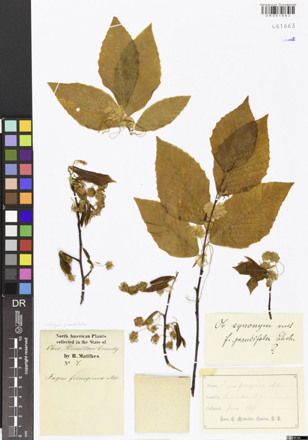
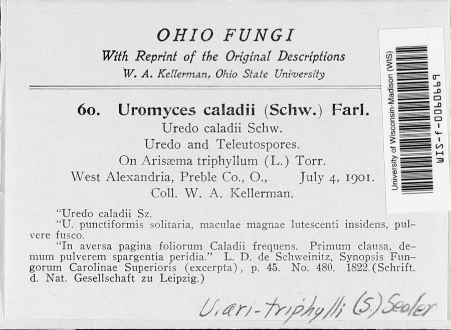
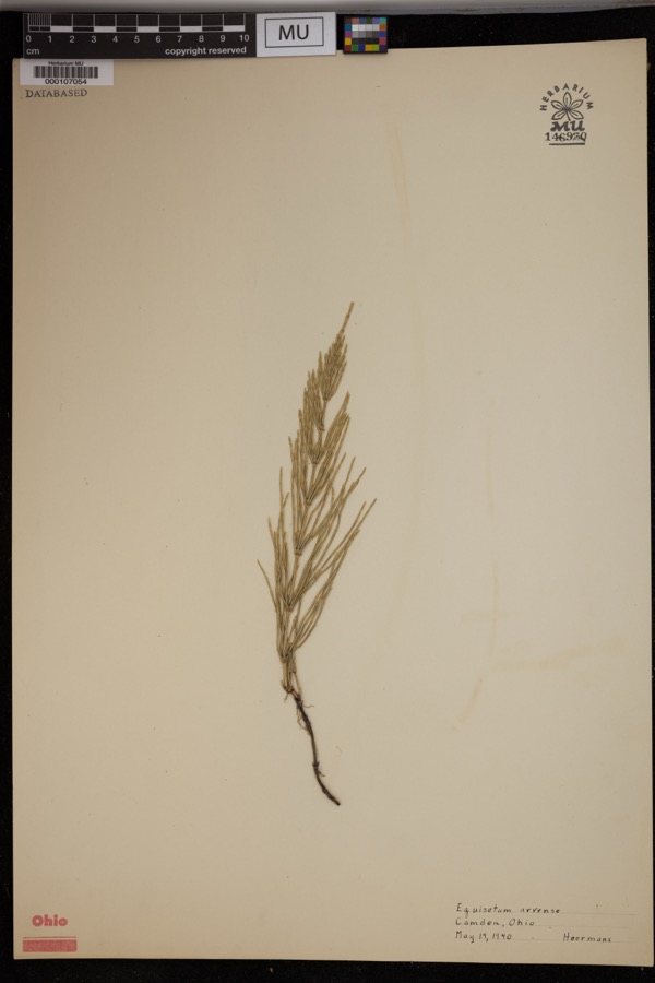
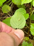
evidence. Museums hold 970 specimens
collected within 10 miles of Christman Covered Bridge between 1876 and
1974: 900 Animalia, 44 Fungi, 26 Plantae. 12 distinct Species records are shown.
Collected by A.R. Gaufin, H.H. Ross, Arden R. Gaufin, B. Fink and others. Each is a
physical object with a catalogue
number, and each entry opens the museum's record. This is what was
collected and kept, not a survey of what lives here - nothing can be
concluded from a species being absent.
Regional context, not property-specific
evidence. The National Weather Service names
Eaton, the town this property stands in, in 75 storm reports between 1994 and 2023: 43 thunderstorm wind, 19 hail, 10 flash flood, 2 flood.
No death or injury is recorded in these reports. Each account below is quoted exactly as the forecast office
filed it, from the NOAA Storm Events Database, and each date
opens the federal record of that event.
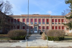
Fifteen or more large trees were knocked down near Eaton High School. An equipment trailer and a marching band tower were blown over by high wind, and there was damage to fencing at the athletic complex. Also, shingle damage occurred to roofs along Hillcrest Drive from wind and hail.
A two story 100 foot by 100 foot barn was destroyed. A camper was blown into the road near the intersection of US Route 35 and Wayne Trace Road just east of Eaton.
5 papers published in this town,
digitised by the Library of Congress and free to read: 0 issues,
0 pages. Every page is searchable, so a name or a street can be
looked for directly in what the town printed about itself at the time.
No historic map-sheet match is published
for this property yet. That does not mean no map exists. This record needs
a coordinate-quality review before it can be joined to a sheet boundary.
Browse the county's mapped places while that work is
pending.
From the nomination file
2,015 words on record
When this property was proposed for the
National Register, someone wrote the case for it: what the building is,
and why it matters. That document is a federal record in the public domain.
It is quoted below word for word, never summarised. The text was read off the scanned case file by machine, so the
occasional stray character is the recogniser's and the 1970s
typewriter's.
Description of the property
This old span has vertical, high-boarded siding, a metal roof, cut-stone abutmenta CONDITION UNALTERED FAIR The shelter panels called for in the original specifications were removed in the pression and the vertical members are the tension members.
However, the Childs The structure under consideration is a one-span wooden truss covered bridge span "pointed-up" with air-emplaced sand-cement.The bridge was originally painted _UNEXPOSED The Christman Bridge presents much the same outward appearance as always.It has white as the original specifications called for three coats of white lead and roof was surely replaced before World War ll.In 196l, this replacement was in The flooring in the Christman Bridge is beech, laid crosswise with raised runmers roofed with red cedar shingles which have a life expectancy of 30 to 5o years, and removed.
On all of Sherman's Preble County covered bridges, the floor beams were who patented the Long bridge truss in 1830.Mr.Childs and his brothers acted suspended from the lower chords on 3/4 to 1 iron stirrups which later proved are later additions.The termite-infested lower chords were replaced in 1960/6l. oak beams to carry the weight of heavier trucks. Some of these floor beam CHECK ONE and projected portalse linseed oil. Some Preble County covered bridges were painted in 19i0,but it name from Horace Childs of Henniker, New Hanpshire who patented it in 18l6.Mr.
_DETERIORATED -RUINS -GOOD This is known as the Christman Bridge and was built in 1895 on the rare Childs The Christman Bridge was built, as stated above, in 1895, a rather late year for miles northwest of Eaton in Washington Fownship section 28, Preble County, Ohio.
who came to Preble County, Chio in 1886 from Delaware County, Ohio. It was in the trusses came from the firm of Cobb and Mitchell, Cadillac, Michigan, whose skil1s and the maintenance skills of the Preble County Engineering Department- 1700-1799 ARCHEOLOGY-HISTORIC PERIOD ARCHITECTURE ECONOMICS RELIGION EDUCATION INDUSTRY AGRICULTURE INVENTION THEATER SCIENCE SIGNIFICANCE CONSERVATION LAW TRANSPORTATION LITERATURE SCULPTURE _EXPLORATION/SETTLEMENT _COMMUNICATIONS MILITARY _PHILOSOPHY _POLITICS/GOVERNMENT the Childs truss bridge and was given several contracts to rebuild the storm- name can still be seen stenciled on the bottom of the top chords.
bridge takes its name from Solomon Christman who owned the land around the site The Christman Bridge was built in 1895 by master bridge-builder Evrett S.Sherman _COMMERCE War and was active in bridge-building in Delaware and Madison Counties.He came shire and that could be the reason he knew of the Childs truss.Mr.Sherman was County's bridges.Mr.
Sherman impressed the county officials with his model of to Preble County in 1886 following a great storm that destroyed many of Preble the only bridge to span the creek at this site even though this road was the most ventor of the Childs truss, Horace Childs, Mr.Sherman was a native of New Hamp- the only one to ever use this truss type.He came to Ohio following the Civil XENGINEERING -1500-1599 of Historic Places and is the last such span in Delaware County.Like the in- N1800-1899 _1600-1699 -1400-1499 _1900- _PREHISTORIC -MUSIC *-_COMMUNITY PLANNING important Eaton to Richmond route until 1840 when the Dayton-Western Turnpike 1895 ART ARCHEOLOGY-PREHISTORIC wrecked spans.He built at least twenty covered bridges in Preble County.
a half mile downstream and is blue limestone laid in mortar.he pine lumber for was built.Stone for the abutments came from the Eaton Stone Quarry about one and The Christman Bridge was the next-to-last such bridge built by Mr.
Quoted from the National Register nomination
for reference 76001516, 15 pages, held by the National Archives in Record
Group 79. See the
catalogue record.
Listed places nearby
6 within 8 miles
Other National Register properties close
enough to walk or drive between, ordered by distance from this one. Both
positions come from the same geocoding pass that matched these properties
to their map sheets.
Listing record. National Park Service National Register of Historic Places, listed-properties dataset, current to 2026-05-22.
Map join. Address geocoded through the United States Census geocoder, then tested against the published boundary of every sheet in the USGS Historical Topographic Map Collection.
How this page is made. Listing fields come from federal records; map-sheet coverage is a labelled coordinate-to-boundary calculation, not a source-field claim.
Specimens. Global Biodiversity Information Facility (GBIF), https://www.gbif.org/. Only records licensed CC0 or CC BY are used. Records licensed CC BY-NC are excluded because this site carries advertising. Images are checked individually and any whose licence is non-commercial, no-derivatives or unreadable is refused.
Storms. NOAA National Centers for Environmental Information, Storm Events Database https://www.ncei.noaa.gov/stormevents/ A work of the United States government, no copyright under 17 U.S.C. 105. Narratives are quoted verbatim from the National Weather Service report and are not edited or summarised.
 Block
Block