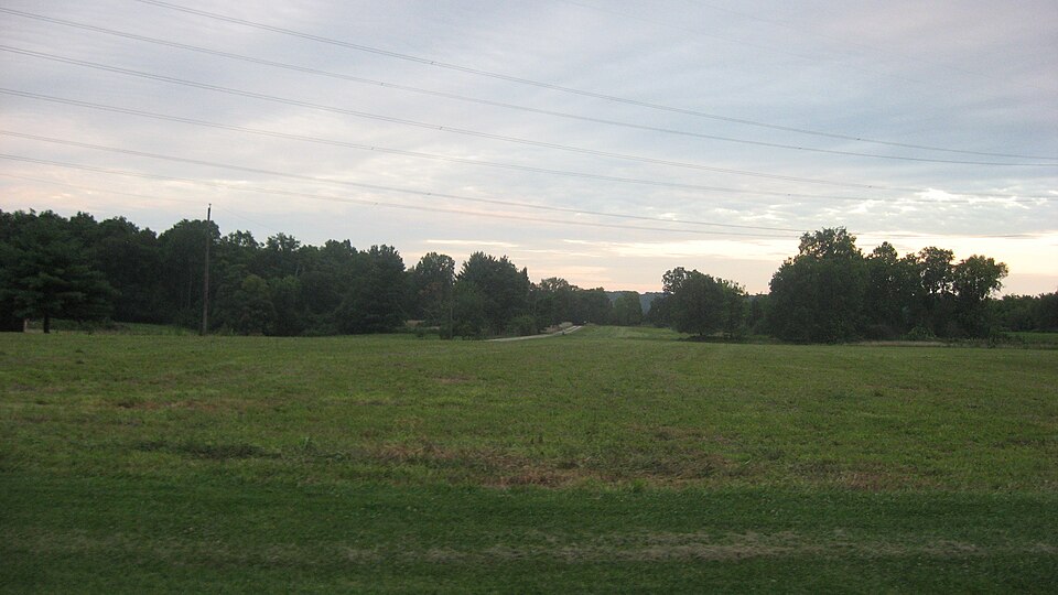
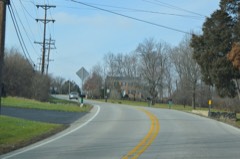
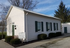
Listed on the National Register of Historic Places in
1974. A historic map-sheet match is not published yet. The record needs a coordinate-quality review before it can be joined to a sheet boundary.
From the record
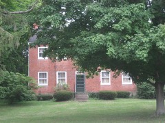
“Shaw Farm is a registered historic building near Ross, Ohio, listed in the National Register on 1974-07-24.”
Wikipedia article Shaw Farm (Ross, Ohio), CC BY-SA 4.0.
one of 63 National Register listings in Butler County · listed in 1974 · category: Building · one of 3 National Historic Landmarks in Butler County.
National Register reference number.74001405- the number the National Park Service assigned this property when it was listed, and the key its nomination file is catalogued under at the National Archives.
Ross Township was rich in the original growth of her timber. Poplar, oak, buckeye, ash, walnut, sycamore, hickory, wild cherry, gum, sugar-tree, sassafras, and dogwood grew spontaneously. A very large portion of the ereek and river bottoms were covered with spice and hazel bushes, wild gooseberry bushes, black currants, which in some places spread over several acres, pawpaw bushes, wild onions, pea-vines, thistles, briers, burrs, and weeds. This growth was so dense in some places as to make it impassable. And here lived all manner of game. The hunter liked best of all the deer or wild turkey. Both abounded here in the beginning of this century. Along the Miami, wild geese and brant, as well as ducks and other water-fowl, lived by the thousands. In the woods were pheasants, quails, squirrels, foxes, wolves, and all their neighbors... It was the general custom of the people for many years to spend a portion of every Fall in hunting. The Miami was also full of fish, immense quantities of which were taken in nets or drag seines made of brush.
Among the first voting precincts in Ross Township was Judge Knox's, near the bank of Indian Creek, one mile above the iron bridge. This place of voting was in existence from 1820 to 1835. A man by the name of Smith was an early settler in this region, and owned the farm on which Judge Knox afterwards lived. Smith had a still-house here,
Regional context, not property-specific
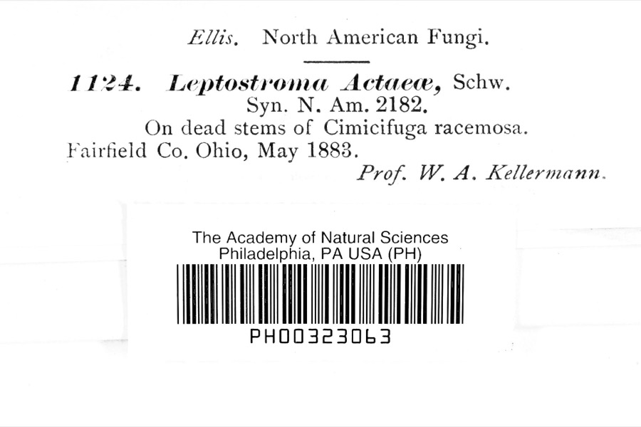
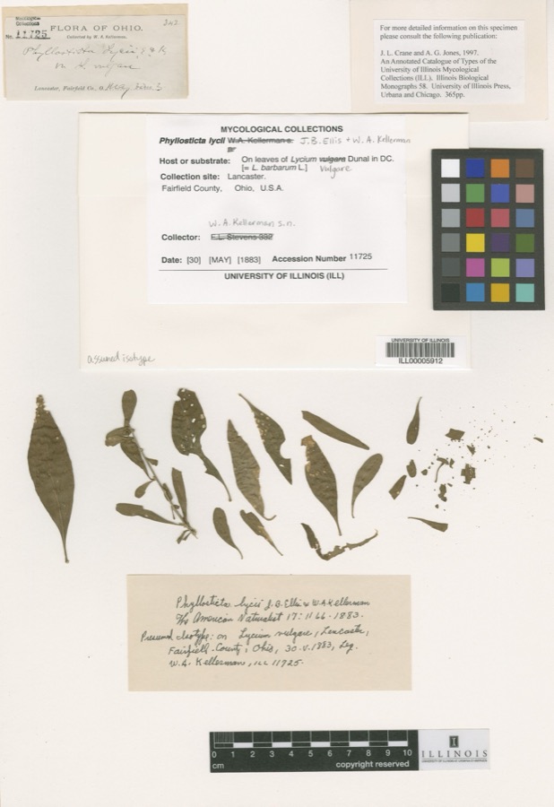
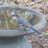
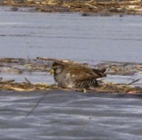
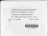
evidence. Museums hold 149 specimens
collected within 10 miles of Shaw Farm between 1879 and
1975: 113 Animalia, 28 Plantae, 6 Fungi, 2 Protozoa. 12 distinct Species records are shown.
Collected by A. R. Gaufin, A.R. Gaufin, H.H. Ross, Arden R. Gaufin and others. Each is a
physical object with a catalogue
number, and each entry opens the museum's record. This is what was
collected and kept, not a survey of what lives here - nothing can be
concluded from a species being absent.
Regional context, not property-specific
evidence. The federal mineral resources record lists
16 workings within 5 miles of Shaw Farm: 7 past producers, 7 producers, 2 plants.
9 still produce. What was taken out: Sand and Gravel, Construction. Distance is straight-line from the
map coordinates, so a quarry counted here may appear on a neighbouring
settlement's page as well.
Regional context, not property-specific
evidence. The National Weather Service names
Ross, the town this property stands in, in 4 storm reports between 1996 and 2010: 3 thunderstorm wind, 1 flash flood.
No death or injury is recorded in these reports. Each account below is quoted exactly as the forecast office
filed it, from the NOAA Storm Events Database, and each date
opens the federal record of that event.
No historic map-sheet match is published
for this property yet. That does not mean no map exists. This record needs
a coordinate-quality review before it can be joined to a sheet boundary.
Browse the county's mapped places while that work is
pending.
From the nomination file
1,259 words on record
When this property was proposed for the
National Register, someone wrote the case for it: what the building is,
and why it matters. That document is a federal record in the public domain.
It is quoted below word for word, never summarised. The text was read off the scanned case file by machine, so the
occasional stray character is the recogniser's and the 1970s
typewriter's.
Description of the property
tored, but the interior has been altered. Downstairs, The Excellent RECEIVED there are stone quoins.The shed-roofed addition at the front facade is five bays across.The stone for the house came PERIOD (Check One or More as Appropriate) - Pre-Columbian! - 20th Century SPECIFIC DATE(S) (If Applicable and Known) - Political - Urban Planning - Religion/Phi- ] Science ] Sculpture ] Social/Human- ] Theater - Transportation STATEMENT OF
Statement of significance
daughter of a Revolutionary War captain, and they moved to Ohio in 1799. In 1801 Albin Shaw formed a company with Jeremy Butterfield, Asa Harvey, Noah Willey, Albin's brother, Knowles, and his father of sections of land on the west side of the Great Miami River Albin went to Washington, D. C. in 1804 and returned with the Colerain Pike, was recently torn down. The other is the Shaw house. Albin's grandson, also named Knowles, was born in the house in The Shaw Farm looks much as it did when it was built in 1804 and is a fine example of an early stone house.
FEB 2 8 1974 1804 Conservation Communications Commerce Landscape Architecture Engineering REGISTER losophy SIGNIFICANCE Aboriginal Education NATIONAL Literature Prehistoric itarian Music Invention Industry Agriculture Military necessary papers signed by Thomas Jefferson.Albin built two One of the earliest stone houses in Butler County, the Shaw Farm 1834.He was a noted evangelist and songwriter who wrote land with a front on the river. Because there was a question of the title to the land being clear, Other (Specify) AREAs OF SIGNIFICANCE (Check One or More as Appropriate) Shaw's six children. In 1784 Albin married Eunice Caldwell, the in 1878 and is buried in Rushwell, Indiana.
Art RECEIVED "Bringing in the Sheaves".Knowles was killed in a train wreck John Shaw.The company bought two full sections and two parts
Quoted from the National Register nomination
for reference 74001405, 9 pages, held by the National Archives in Record
Group 79. See the
catalogue record.
Listed places nearby
6 within 8 miles
Other National Register properties close
enough to walk or drive between, ordered by distance from this one. Both
positions come from the same geocoding pass that matched these properties
to their map sheets.
Listing record. National Park Service National Register of Historic Places, listed-properties dataset, current to 2026-05-22.
Map join. Address geocoded through the United States Census geocoder, then tested against the published boundary of every sheet in the USGS Historical Topographic Map Collection.
How this page is made. Listing fields come from federal records; map-sheet coverage is a labelled coordinate-to-boundary calculation, not a source-field claim.
Specimens. Global Biodiversity Information Facility (GBIF), https://www.gbif.org/. Only records licensed CC0 or CC BY are used. Records licensed CC BY-NC are excluded because this site carries advertising. Images are checked individually and any whose licence is non-commercial, no-derivatives or unreadable is refused.
Mines and quarries. USGS Mineral Resources Data System (MRDS) https://mrdata.usgs.gov/mrds/ A work of the United States government, no copyright under 17 U.S.C. 105.
Storms. NOAA National Centers for Environmental Information, Storm Events Database https://www.ncei.noaa.gov/stormevents/ A work of the United States government, no copyright under 17 U.S.C. 105. Narratives are quoted verbatim from the National Weather Service report and are not edited or summarised.
 Block
Block