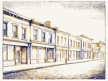
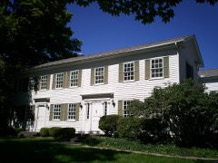
Listed on the National Register of Historic Places in
1974. A historic map-sheet match is not published yet. The record needs a coordinate-quality review before it can be joined to a sheet boundary.
From the record
“Elias Harmon, who can be set down as the fourth settler, was born in Suftield, Conn., in 1773, and started for the Reserve in February, 1799, in a twohorse aleigh, going as far as Pittston, N. After a lonct, tiresome and plariloos trip, partly by lake, partly by land and partly by river, Harmon landed at the clearing of Honey, as stated, on tho I'ith of June, where he stopped awhile, and then went to the place of Ebenezer iSheldou, who had engaged him before leaving home to help him in boarding and aiding the sarveyora in their allotment of Anrora, after* ward returning t-o Mantua with his wife in September, 1799, and settling on Lot IS.”
History of Portage County, Ohio. Containing a History of the County, Its Townships, Towns, Villages, Schools, Churches, Industries, Etc; Portraits of Early Settlers and Prominent Men; Biographies; History of the Northwest Territory; History of Ohio; Statistical and Miscellaneous Matter, Etc., Etc. .. (1885). Machine-read text.
one of 42 National Register listings in Portage County · listed in 1974 · category: District.
National Register reference number.74001606- the number the National Park Service assigned this property when it was listed, and the key its nomination file is catalogued under at the National Archives.
The ground it stands on
10,315 words
The chapter on Mantua Township in History of Portage County, Ohio, published 1885 names Mantua. This is what it says, exactly as the scans read.
The first man to drive a stake, put up a cabin, make a clearing and settle down to business was Abraham L. Honey, which he did in the fall of 1798, and although it has been asserted that a man by the name of Peter French came in the fall of 1798, cleared off some land on the northwest quarter of Lot 24 and put out a small patch of wheat, he also cleared some land on the southwest quarter of Lot 29. After making those improvements he moved to Mentor. That a small crop of wheat was harvested the next season by Rufus Edwards, who came in and took possession of Lot 24, the lot settled upon by Honey, is beyond dispute. How he got possession of Lot 24 does not now appear. Honey remained only two or three years in Mantua, when he moved to Hiram and from there to Cuyahoga County. The wife of Honey was a sister of Rufus Edwards, and it is possible that Honey made the improvements for his brother-in-law, himself settling on a portion of the land, there being plenty of room on 420 acres for three or four families in those times. At any rate Rufus Edwai-ds was the second settler, for in the notes keptby Elias Harmon of those early days he says that just after he came in he chopped for Edwards and hewed for Crooks. Crooks by this appears to have been the third settler, though not a permanent one, as he only arrived at Mr. Honey's on the 12th of June, 1799. David Crooks, the person referred to, settled on the southwest part of Lot 29. He remained there until November, 1799, when he went for his family, who refused to return to Ohio with him. William Crooks died in Aurora, some time in the fifties at the age of eighty-five years. He located in Warren, then at Nelson, next at Parkman, and ultimately in Aurora.
Elias Harmon, who can be set down as the fourth settler, was born in Suflield. Conn., in 1773, and started for the Reserve in February, 1799, in a twohorse sleigh, going as far as Pittston, N. Y., where he remained till May, when, in company with Benjamin Tappan, David Hudson and Jotham Atwater, started for their future home - Ta,ppan for Ravenna, then Town 3, Range 8; Hudson for what is now Summit County; Atwater for Euclid, and Harmon for Mantua. After a long, tiresome and perilous trip, partly by lake, partly by land and partly by river, Harmon landed at the clearing of Honey, as stated, on the 12th of June, where he stopped awhile, and then went to the place of Ebenezer Sheldon, who had engaged him before leaving home to help him in boarding and aiding the surveyors in their allotment of Aurora, afterward returning to Mantua with his wife in September, 1799, and settling on Lot 18. One of two or three entries in his diary, shows that the erection of a habitation in those days was a matter to be accomplished in short order; he savs: "July 1, began to cut timber for our house. July 2, put up and moved into house. July 3, got timber for floor. July 4, laid thefloor."
Regional context, not property-specific
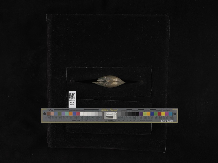
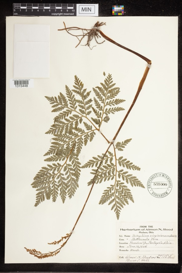
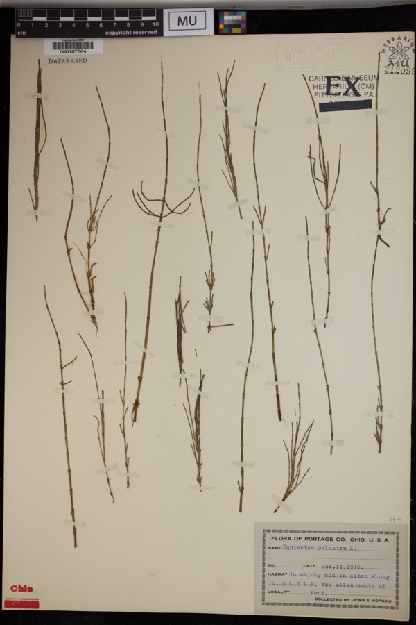
evidence. Museums hold 766 specimens
collected within 10 miles of Mantua Station Brick Commercial District between 1883 and
1975: 627 Animalia, 131 Plantae, 4 Fungi, 4 Unrecorded. 12 distinct Species records are shown.
Collected by A. D. Huryn, A. F. Clewell, A. Woolman and others. Each is a
physical object with a catalogue
number, and each entry opens the museum's record. This is what was
collected and kept, not a survey of what lives here - nothing can be
concluded from a species being absent.
Regional context, not property-specific
evidence. The federal mineral resources record lists
25 workings within 5 miles of Mantua Station Brick Commercial District: 13 past producers, 10 producers, 2 plants.
12 still produce. What was taken out: Sand and Gravel, Construction. Distance is straight-line from the
map coordinates, so a quarry counted here may appear on a neighbouring
settlement's page as well.
Regional context, not property-specific
evidence. The National Weather Service names
Mantua, the town this property stands in, in 31 storm reports between 1995 and 2026: 17 thunderstorm wind, 14 hail.
No death or injury is recorded in these reports. Each account below is quoted exactly as the forecast office
filed it, from the NOAA Storm Events Database, and each date
opens the federal record of that event.
No historic map-sheet match is published
for this property yet. That does not mean no map exists. This record needs
a coordinate-quality review before it can be joined to a sheet boundary.
Browse the county's mapped places while that work is
pending.
Named in the fire insurance atlases
Sanborn surveyors printed an index of the
town's establishments at the front of each atlas. This property is named in
one, read straight off the scanned sheet.
When this property was proposed for the
National Register, someone wrote the case for it: what the building is,
and why it matters. That document is a federal record in the public domain.
It is quoted below word for word, never summarised. The text was read off the scanned case file by machine, so the
occasional stray character is the recogniser's and the 1970s
typewriter's.
Statement of significance
called the Bowen Block.C.H. Thompson was an energetic and Invention Education became the commercial center. opening of the railroad in1856.It would be impossible to list the grain elevator in 1898.The blocks on the southeast corner of in 1881 and 1885,and the C.H.Ray Block in 1886.Col.C.H.Ray half of the Bowen Block was added in 1877,the next blocks north The group of brick blocks in this district began in 1873 with Other (Specify) Painesville Road one mile to the east.
But the location of the Cleveland-Mahoning Railroad two miles to the south "nipped their Commerce This group of business blocks constitutes the main commercial district of a very busy and vital small town on the railroad in the had been in the dry goods business at Mantua Corners since 1867, Thompson built the Thompson Block on East Prospect in 1884,and Theater
Quoted from the National Register nomination
for reference 74001606, 16 pages, held by the National Archives in Record
Group 79. See the
catalogue record.
Listed places nearby
6 within 8 miles
Other National Register properties close
enough to walk or drive between, ordered by distance from this one. Both
positions come from the same geocoding pass that matched these properties
to their map sheets.
Listing record. National Park Service National Register of Historic Places, listed-properties dataset, current to 2026-05-22.
Map join. Address geocoded through the United States Census geocoder, then tested against the published boundary of every sheet in the USGS Historical Topographic Map Collection.
How this page is made. Listing fields come from federal records; map-sheet coverage is a labelled coordinate-to-boundary calculation, not a source-field claim.
Specimens. Global Biodiversity Information Facility (GBIF), https://www.gbif.org/. Only records licensed CC0 or CC BY are used. Records licensed CC BY-NC are excluded because this site carries advertising. Images are checked individually and any whose licence is non-commercial, no-derivatives or unreadable is refused.
Mines and quarries. USGS Mineral Resources Data System (MRDS) https://mrdata.usgs.gov/mrds/ A work of the United States government, no copyright under 17 U.S.C. 105.
Storms. NOAA National Centers for Environmental Information, Storm Events Database https://www.ncei.noaa.gov/stormevents/ A work of the United States government, no copyright under 17 U.S.C. 105. Narratives are quoted verbatim from the National Weather Service report and are not edited or summarised.
 Block
Block