Listed on the National Register of Historic Places in
1976. A historic map-sheet match is not published yet. The record needs a coordinate-quality review before it can be joined to a sheet boundary.
From the record
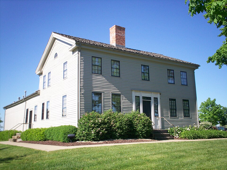
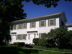
“The John Johnson farm is a historic home and listing on the National Register of Historic Places in Hiram Township, just west of the village of Hiram, Ohio, United States. The home, built in 1828, is a significant location in the history of the Latter Day Saint movement as the home of Joseph Smith and his family from September 1831 to March 1832.”
Wikipedia article John Johnson Farm, CC BY-SA 4.0.
one of 42 National Register listings in Portage County · listed in 1976 · category: Building.
National Register reference number.76001512- the number the National Park Service assigned this property when it was listed, and the key its nomination file is catalogued under at the National Archives.
The ground it stands on
6,350 words
The chapter on Hiram Township in History of Portage County, Ohio, published 1885 names Hiram. This is what it says, exactly as the scans read.
There is some doubt respecting the first settler in Hiram. By some it is thought that Abraham S. Honey, who made the first settlement in Mantua, was the man, and that he came as early as 1799, but that cannot be, for he, with his brother-in-law, Rufus Edwards, settled in Mantua, or at least made some improvements there, in the fall of 1798. Mr. John Harmon, one of the first settlers in Mantua, was under the impression that a man named William W. Williams came in the spring of 1799, built a cabin and made a clearing, but that he soon after left and settled in Cuyahoga County, where, in 1800, he built the first mill in that county. The truth, possibly, of this matter is, that when Honey left Mantua, which he did about 1802, he stopped during the spring or summer in Hiram, made a small clearing and built a cabin, but getting tired of the country, went away in the fall to Cuyahoga, where it is known that he lived several years.
In 1818, early in January, Daniel Hampton came from Trumbull County and settled on the west part of the east half of Lot 33, and about the 23d of the same month Samuel Udall, John Johnson, Martin Miller, Charles Loomis and Thomas Cowen left Pomfret and Hartford, Vt., with their families, which were all large, bound for Hiram. Udall had four yoke of oxen, three horses and a cow. The rest were also supplied well with oxen and horses. The weather was cold, the snow was deep, and they were six weeks on the road. Arriving in Hiram March 4, 1818, Udall settled on the west halves of Lots 24 and 27, Johnson on the west ends of Lots 22 and 39, Miller on the west half of Lot 36, Loomis on the middle part of Lot 39, and Cowen moved into a cabin owned by Richard Kedden. In the following summer came Gideon Cbapin, Lemuel Herrick, Miles T. Norton, Joel Button, Elisha Taylor, Horace A. Loomis, Curtis Eggleston, Truman Brace, Capt. William Harris and Charles H. Paine, the last-named moving in the fall to Freedom, and becoming the first settler of that township.
Regional context, not property-specific
evidence. The
federal wildfire occurrence database
lists 1 fire within 5 miles of Johnson, John, Farm between
2020 and 2020, burning about 0 acres in total. None started naturally. None was recorded as arson.
Distance is straight-line from the map coordinates, so a fire counted
here may appear on a neighbouring settlement's page as well.
Reported cause
Fires
Missing data/not specified/undetermined
1
The most recent of
them, most recent first, with the day each was reported and the service
that recorded it.
Regional context, not property-specific
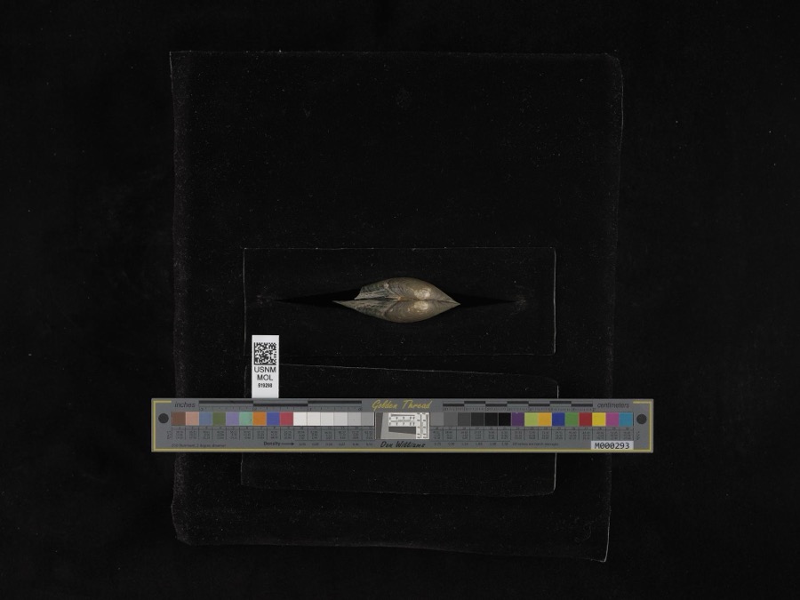
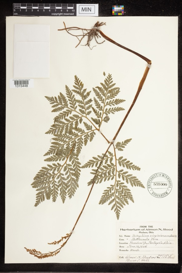
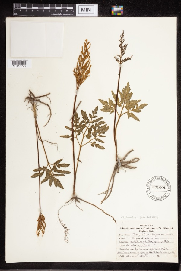
evidence. Museums hold 613 specimens
collected within 10 miles of Johnson, John, Farm between 1884 and
1975: 484 Animalia, 123 Plantae, 4 Unrecorded, 2 Fungi. 12 distinct Species records are shown.
Collected by A. D. Huryn, A. F. Clewell, A. Woolman and others. Each is a
physical object with a catalogue
number, and each entry opens the museum's record. This is what was
collected and kept, not a survey of what lives here - nothing can be
concluded from a species being absent.
Regional context, not property-specific
evidence. The federal mineral resources record lists
9 workings within 5 miles of Johnson, John, Farm: 6 past producers, 2 producers, 1 plant.
3 still produce. What was taken out: Sand and Gravel, Construction. Distance is straight-line from the
map coordinates, so a quarry counted here may appear on a neighbouring
settlement's page as well.
Regional context, not property-specific
evidence. The National Weather Service names
Hiram, the town this property stands in, in 12 storm reports between 1996 and 2026: 6 hail, 5 thunderstorm wind, 1 tornado.
No death or injury is recorded in these reports. Each account below is quoted exactly as the forecast office
filed it, from the NOAA Storm Events Database, and each date
opens the federal record of that event.
During the evening hours of July 4th, a F0 tornado touched down in Portage County. This tornado touched down about three miles west of Hiram, and tracked mainly through an open field causing no damage to structures or crops. Spotter reports indicated that the tornado lifted just to the west of Hiram which was confirmed by evidence found by a damage survey team.
No historic map-sheet match is published
for this property yet. That does not mean no map exists. This record needs
a coordinate-quality review before it can be joined to a sheet boundary.
Browse the county's mapped places while that work is
pending.
From the nomination file
3,089 words on record
When this property was proposed for the
National Register, someone wrote the case for it: what the building is,
and why it matters. That document is a federal record in the public domain.
It is quoted below word for word, never summarised. The text was read off the scanned case file by machine, so the
occasional stray character is the recogniser's and the 1970s
typewriter's.
Description of the property
vernacular mode, together with two barns and several minor outbuild- In spite of the exterior alterations, which are chiefly in the nature west room has been closed, but the mantelpiece is stored in the attic. large original kitchen area is to the rear of the chimney, with a To the north of the house there is a large barn and a smaller CONDITION blocks. UNEXPOSED DATE MOVED UNALTERED FAIR house.and farm buildings as a public historic site and mission.The great hearth.These rooms have their original chair rails.There The second floor plan is practically a duplicate of the first. The church is currently preparing a study for the restoration of the period design and excellent craftsmanship.
Virtually all.of the interior cellar, whose great chimney foundation consists of large sandstone years old. The barns are still in use as part of the working farm. woodwork is intact or in storage and available for restoration. There known at present, as the exterior has been covered with aluminum CHECK ONE of accretions that can be removed, the interior isquite intact.It has left-hand turn.The east room has a fireplace whose mantelpiece has is a small rear stairway from the northeast room.There is a full removal of the siding is one of the first priorities in stairhall, with the stairs in front of the chimney stack making a sharp the projected restoration project of the owner.)A large one-story wing ings.The house facade has five bays with a center entrance.
The a typical central chimney plan.The front door opens into a shallow projects to the north from the main house.On the west end of the Two acres of the l80-acre farm are included in the nomination.
This is the house in which Joseph Smith, the Mormon Prophet and trip to Independence, Missouri, and preceded by one year the building of During this time, however, some of Johnson's sons became disillus- ioned with the church, and Hiram became unfriendly. When Joseph Smith planned to return to Missouri to prevent a rebellion, a gang of men from stripped and beat him, and tarred and feathered him. On the next day Shortly thereafter, the Smiths left Hiram for good, Emma returning to Christianity as Christianity was to Judaism: that is, a reform and a MAR 1 7 1976 1831-1832 1400-1499 INVENTION ECONOMICS THEATER ARCHEOLOGY-HISTORIC EXPLORATION/SETTLEMENT SIGNIFICANCE BUILDER/ARCHITECT NATIONAL PREHISTORIC PERIOD MILITARY ART INDUSTRY AGRICULTURE PHILOSOPHY REGISTER restoration will complete.
_POLITICS/GOVERNMENT RECEIVED _TRANSPORTATION *other than Christian Science, _COMMUNICATIONS MUSIC martyr, received some of his most significant revelations in the winter ARCHEOLUGY-PREHISTORIC dissenting sect. It was a real religious creation, one intended to be to Joseph Smith's stay followed the discovery of the Book of Mormon and the still conveys to a great extent the period of its history, which the planned _CONSERVATION SCIENCE Kirtland and Joseph going to Independence.This was the only act of Joseph Smith and his wife Emma were the guests of Mr.and Mrs. of 183l-1832. Despite its present unprepossessing appearance, the house violence against Mormons in Ohio. 1700-1799 _ENGINEERING events.He experienced fifteen revelations from the Lord during this period.
-1500-1599 Hiram broke into the house on March 24,1832,dragged Joseph from bed, of glory. -1600-1699 -LITERATURE - EDUCATION -_1900- -LAW the Temple at Kirtland, Ohio. The Prophet spent the winter revising the Bible, editing Old Testament prophecies to make them accord with Mormon born in the modern age,* its historic sites are of national significance. he astonished his assailants by appearing in church to preach as usual.
Quoted from the National Register nomination
for reference 76001512, 21 pages, held by the National Archives in Record
Group 79. See the
catalogue record.
Listed places nearby
6 within 8 miles
Other National Register properties close
enough to walk or drive between, ordered by distance from this one. Both
positions come from the same geocoding pass that matched these properties
to their map sheets.
Listing record. National Park Service National Register of Historic Places, listed-properties dataset, current to 2026-05-22.
Map join. Address geocoded through the United States Census geocoder, then tested against the published boundary of every sheet in the USGS Historical Topographic Map Collection.
How this page is made. Listing fields come from federal records; map-sheet coverage is a labelled coordinate-to-boundary calculation, not a source-field claim.
Wildfire. Short, Karen C. 2022. Spatial wildfire occurrence data for the United States, 1992-2020 [FPA_FOD_20221014]. 6th Edition. Fort Collins, CO: Forest Service Research Data Archive. https://doi.org/10.2737/RDS-2013-0009.6 Collected with United States Government funding and usable without additional permissions or fees.
Specimens. Global Biodiversity Information Facility (GBIF), https://www.gbif.org/. Only records licensed CC0 or CC BY are used. Records licensed CC BY-NC are excluded because this site carries advertising. Images are checked individually and any whose licence is non-commercial, no-derivatives or unreadable is refused.
Mines and quarries. USGS Mineral Resources Data System (MRDS) https://mrdata.usgs.gov/mrds/ A work of the United States government, no copyright under 17 U.S.C. 105.
Storms. NOAA National Centers for Environmental Information, Storm Events Database https://www.ncei.noaa.gov/stormevents/ A work of the United States government, no copyright under 17 U.S.C. 105. Narratives are quoted verbatim from the National Weather Service report and are not edited or summarised.
 Block
Block