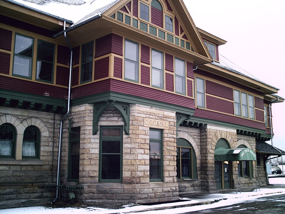
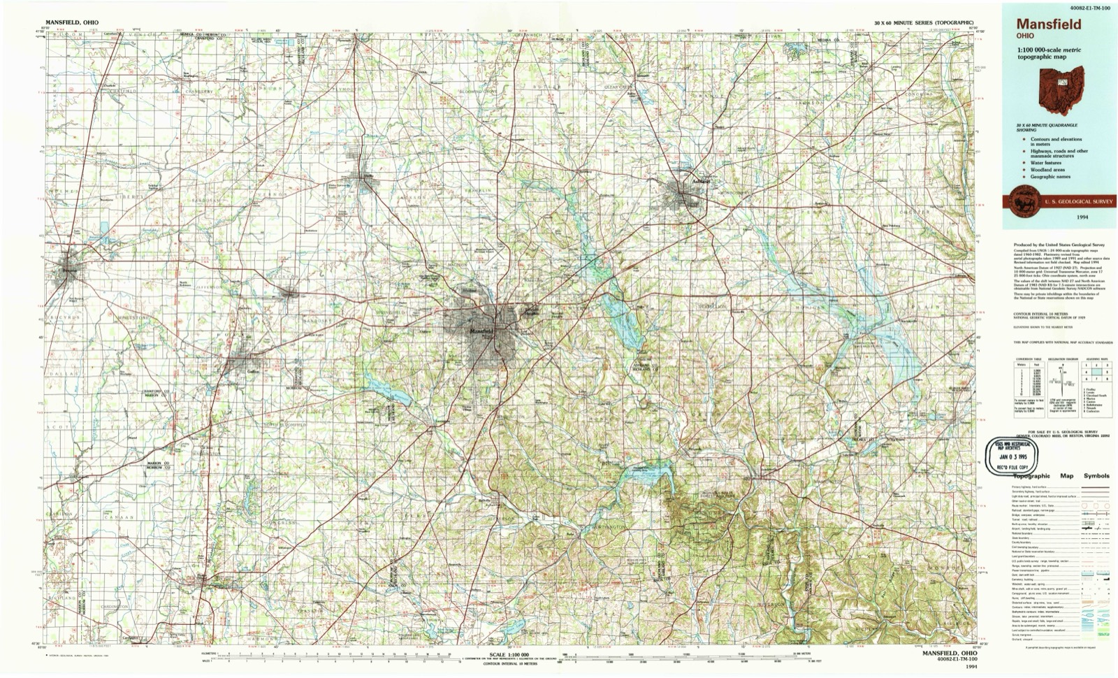
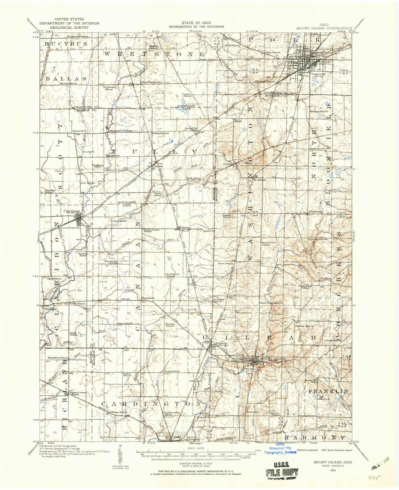
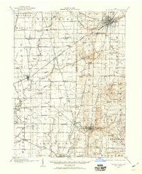
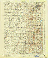
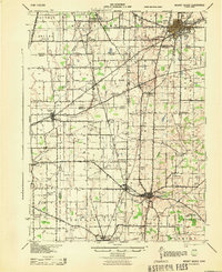
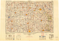
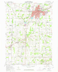
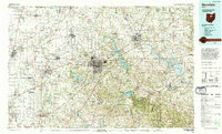
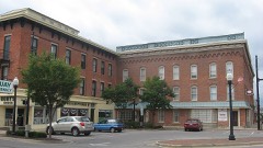
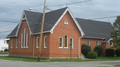
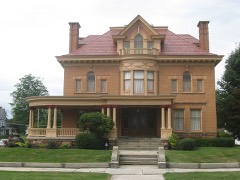
Listed on the National Register of Historic Places in 1975. 9 historic topographic surveys show this location, the earliest from 1913.
From the record
“The Big Four Depot of Galion, Ohio was a passenger train station serving the Cleveland, Cincinnati, Chicago and St. Louis Railway, commonly known as the 'Big Four Depot,' and the New York Central Railroad.”
Wikipedia article Galion station (New York Central Railroad), CC BY-SA 4.0.
One of 26 National Register listings published here for Crawford County · listed in 1975 · category: Building.
Architectural style. Queen Anne style architecture in the United States
National Register reference number.75001350- the number the National Park Service assigned this property when it was listed, and the key its nomination file is catalogued under at the National Archives.
Then and now
1913 to 1994
The ground this property stands on, surveyed
81 years apart. Drag the handle to wipe between them. Both sheets are
United States Geological Survey originals; neither has been altered.
The Regular Associated Baptist Chiu-ch of Gallon, Ohio, was organized on the 14th day of January, 1859. There was no regular pastor for the church until the month of April, 1861. At this time. Rev. J. B. Sutton became the Pastor of the young church. Prior to this, and on the 29th day of December, 1859, the Regular Baptist Church of Galion met, and while so convened entered into the following agi-eements: "We, the undersigned, members of the Regular Baptist Church, in the Mohican Association, for our mutual good and the promotion of the cause of Christ, do covenant and agree with each other, in church capacity, and as a branch in Galion of the Bloomfield Church, in the Mohican Baptist Association, to maintain the apostolic order of the church in its primitive purity.
The first schoolhouse erected in Gallon was ' located in the near vicinity of C. Scrim's residence, on West Main street, in 1822. There I was no district formed. No pai-liamentarj' j point obstructed the progress. No red tape or circumlocution hampered the completion of | the work. This was a commimity of primitive ways and simple habits. There was a ' sudden awakening to the necessity of educa- i tion, and of having a schoolhouse, and an instinctive impression that it could be built and a school supported. Acting upon this spontaneous impulse, the citizens came together with their teams, axes, and all the tools and apparatus required. It was a round-log schoolhouse, with a clapboard roof. Poles were crossed on the ceiling and stuffed with moss; over this was plastered clay. Sections of logs were cut out for windows, of which 1 there were three. Frames were made for these windows by Mr. George Wood, who was a carpenter; and, that the force of this remark j may not be lost, we will merely state that the frames were an advance upon the ordinary foi-m of window, which was generally a hole in the cabin, with greased paper covering it in the winter. A large fire-place, opening into | a chimney of sticks and clay, occupied one end of the building. The seats were of split logs, or slabs with the flat side up, holes bored slanting near the ends, and long pegs di-iven in to form benches. The most difficult of all feats to perform was to keep all four legs on the floor at one time. A few boards were stv cured, which were attached to the walls around the building, to be utilized as wi-iting desks. The building, when finished, was rude and uncouth in appearance, somewhat dai-k in the interior, but warm ; but it was the beginning of school. The germ of education was planted in the midst of the settlement; how well it took root, and grew fi'om year to year; how it was carefully nurtured and cared for, and the grand result, the perfection of the school system, till now there seems little more to do - is evident to all. Mr. David Gill pos.sessed an education, and a knowledge of business forms, in advance of his associates in Gallon. It was conceded by all that he should first have the honor of teaching the youth of Galion. Accordingly, we find him duly installed, with full authority at once with the book and the birch. The pay for the teacher and support of the school did not come from assessments, biit by subscription. No regular set of books were studied. The Bible was frequently the reader, and Webster's old spellingbook was in requisition.
Regional context, not property-specific
evidence. The
federal wildfire occurrence database
lists 3 fires within 5 miles of Big Four Depot
in 2019, burning about 9 acres in total. None started naturally. None was recorded as arson.
Distance is straight-line from the map coordinates, so a fire counted
here may appear on a neighbouring settlement's page as well.
Reported cause
Fires
Missing data/not specified/undetermined
3
The most recent of
them, most recent first, with the day each was reported and the service
that recorded it.
Date
Cause
Size
Reported by
Name on the report
13 October 2019
Missing data/not specified/undetermined
3.0 acres
Ohio Department of Natural Resources
15306
13 October 2019
Missing data/not specified/undetermined
4.0 acres
Ohio Department of Natural Resources
15305
13 October 2019
Missing data/not specified/undetermined
2.0 acres
Ohio Department of Natural Resources
15307
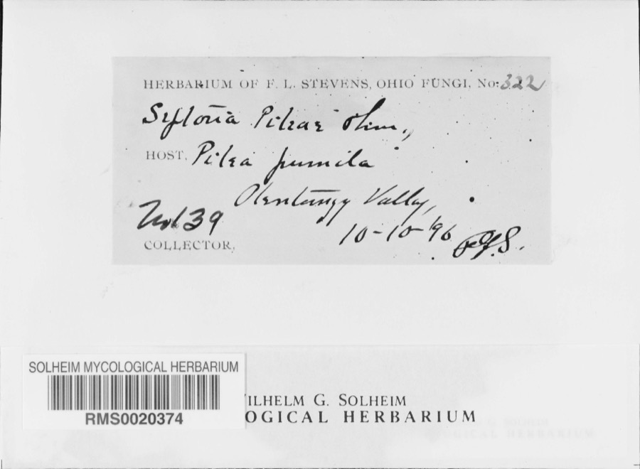
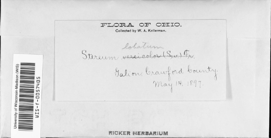
Specimens collected near this property
12 of 85 shown
Regional context, not property-specific
evidence. Museums hold 85 specimens
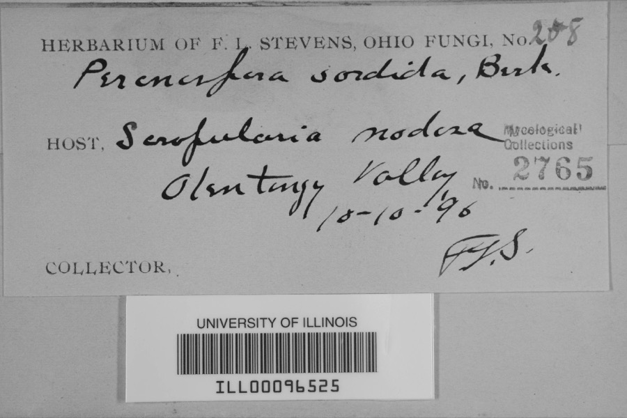
collected within 10 miles of Big Four Depot between 1896 and 1971: 72 Animalia, 7 Plantae, 4 Fungi, 2 Chromista.
12 distinct Species records are shown.
Collected by Chase, H. (Hazel), F. L. Stevens, F.L. Stevens and others. Each is a
physical object with a catalogue
number, and each entry opens the museum's record. This is what was
collected and kept, not a survey of what lives here - nothing can be
concluded from a species being absent.
Regional context, not property-specific
evidence. The federal mineral resources record lists
2 workings within 5 miles of Big Four Depot: 2 past producers.
None of them still produces. What was taken out: Sand and Gravel, Construction. Distance is straight-line from the
map coordinates, so a quarry counted here may appear on a neighbouring
settlement's page as well.
Regional context, not property-specific
evidence. The National Weather Service names
Galion, the town this property stands in, in 58 storm reports between 1994 and 2025: 39 thunderstorm wind, 13 hail, 2 flash flood, 2 flood.
No death or injury is recorded in these reports. Each account below is quoted exactly as the forecast office
filed it, from the NOAA Storm Events Database, and each date
opens the federal record of that event.
An EF1 tornado touched down in Galion near the intersection of Orange and Grand Streets. Many trees in the area were snapped or uprooted. The tornado continued east northeast across the city and damaged three homes as it crossed Union Street. Two of the homes lost some facia, siding and roofing but the third had a fallen tree damage a wall. A warehouse on Market Street lost a section of roofing. A second warehouse along Columbus Street also lost some roofing material. A few blocks to the east two homes were damaged on South Washington Street. One of the homes had it's roof detached and the second lost some roofing and siding material. The tornado then intensified to EF2 as it crossed the southern end of Pierce Street. At least four properties on Pierce Street were damaged. Three of the homes were classified as having major damage and had their roofs torn off in addition to having broken windows and lost siding. Two of the properties also had detached garages destroyed. The fourth house had a porch damaged. Significant damage also occurred a block to the east along Riblet Street. An auto repair shop lots it's roof and had three masonry walls collapse. Bricks from the building were found of the roofs of houses nearby. Three other commercial buildings on Riblet Street lost large sections of roofing. One of the three also sustained damage to an exterior wall. Four homes were damaged on the southern end of East Street. One of the homes sustained major damage in the form of a detached roof. The other three houses sustained lesser amounts of roof and siding damage. The tornado continued east for another block and finally lifted as it reached Walnut Street. Many trees, limbs and utility poles were downed along the damage path which was just over a mile in length and up to 200 yards in width. A total of 21 structures were damaged in Galion with one destroyed and five sustaining major damage. There were no injuries.
Seventeen days of consecutive rain brought widespread flooding to Crawford County. The hardest hit towns were Bucyrus and Crestline. In Bucyrus, the Sandusky River came out of its banks resulting flooding of the Harmon Park soccer complex, and surrounding homes on Clinton and Lane Streets. North Sandusky Ave and Water Street were closed. Elsewhere in the county numerous roads were closed and part of Ohio 19 and Brokensword were closed. Most of the county had received between 3.5 and 7 inches of rain over a 48 hour period, with the heaviest rain falling over Crestline. In Galion numerous roads were closed.
Widespread flooding was reported in eastern Crawford County. In Galion, the water inundated Heise Park as the Olentangy River tributaries were overwhelmed. Ohio 309 from North East Street at Chalres Street to Harding Way East was inundated and closed. A house on Olentangy Court was inundated in the first floor. In Bucyrus, it was the Sandusky River that came out of its banks flooding several basements. A vehicle was damaged as the driver entered flooded Knauss Road. North Sandusky Ave, River Street, Temple Road, and Bethel Roads were closed. All of this flooding was the result of 2 to 4 inches of rainfall from the evening of the 8th.
Thunderstorm winds destroyed a garage and a small shed along Monnett-New Winchester Road west of Galion in Whetstone Township. A fence and many trees were also downed in the area.
Thunderstorm winds downed a few trees and leveled a small shed in Galion. A barn on Millsboro Road just west of the Richland County line was also damaged. A home nearby sustained damage from a fallen tree. Many trees were also reported down along Blooming Grove Road.
Numerous trees were reported down across the southern half of the City of Galion. One tree was reported to have fallen onto a house causing major damage.
Damaging winds originating from a supercell thunderstorm downed four 8-foot sections of fence. Several large trees and numerous large tree branches were downed.
An EF-0 tornado touched down on North Columbus Street. The tornado lifted and touched down again two more time on Harding Way East and on 2nd Street. The tornado path was a little over a mile long. There was minor damage to outbuildings and tree tops snapped.
Heavy rain and rapid snow melt led to a rapid rise in the Sandusky River at Bucyrus, which reached a 100 year crest of 10.86 feet. The only official rainfall observation was in Galion where 2.38 was reported. Six to ten inches of heavy snow was on the ground at the onset of the rain. This snow rapidly melted as temperatures warmed into the 50s on the 28th. Up to an additional inch of water equivalent rainfall was released from the melted snow. Several people had be rescued from homes and vehicles as the water came up. About 30 homes in Bucyrus were flooded as the Sandusky River came out of banks. Countyline Road was one of the most affected areas where at least a dozen homes were damaged. Several dozen new cars were destroyed as flood waters inundated a car dealership. Several homes flooded as well in Galion.
United States Geological Survey topographic
sheets whose coverage includes this point. Matched by taking the coordinate the National Park Service records for this property, then
testing that coordinate against the published boundary of every sheet.
When this property was proposed for the
National Register, someone wrote the case for it: what the building is,
and why it matters. That document is a federal record in the public domain.
It is quoted below word for word, never summarised. The text was read off the scanned case file by machine, so the
occasional stray character is the recogniser's and the 1970s
typewriter's.
Description of the property
siding, the second band is shiplap, the third is shingle, and the fourth were partitioned, and curved glass block entries were added to provide a Apparently, the third floor was partitioned during or soon after original baggage and mail roon has a doorway in each of its three exposed walls. JUN 1 7 CONDITION chimney. Ruins A small central basement houses a boiler from which rises an interior crossed by a gable roof and is penetrated by three triangular dormers and ceramic tile restroom floors and the vinyl asbestos tile lobby floor. The remodeled in 1948,at which time the ceiling was lowered, new restrooms Window and doorway arches are of smooth-faced sandstone.
The second story The northeast wing of the building is one-and-a-half stories, the first of southeast side leads to the office area behind the ticket windows and to A 15 foot wide canopy adjoins the building along the track side and extends This two-and-a-half story building covers about 5ooo square feet at the construction, but was used only for storage. The walls, ceilings, and NATIONAL The passenger lobby isentered through double doors from either the pair of interior doors at each entrance.A single door entrance on the in about 1920. Section was destroyed by a freight train wreck in 1947.The canopy is supported bya single line of 17 round cast iron columns.
(Check One) - Moved are supported by brackets, as are various places around the building where a bout 200 teet beyond the building to the southwest as well, but this southeast, that is track side, or from the motthwest side. The lobby was the stairway to the second floor.
commonly called the Big Four. The three divisions were Galion, Springfield, and Indianapolis. The Galion building housed the engineering corps, the The Erie-Lackawanna Railroad also had a passenger station in Galion, and larger, more elaborate, and possibly more decorated than most small town the quarries near Amherst, Ohio, which supplied stone for many Big Four bridges. Commerce losophy Engineering Conservation SIGNIFICANCE Aboriginal Architecture Literature Communications Theater Agriculture Pre-Columbian Landscape itarian Music Political about 1969. Social/Human about 1964,several years before passenger service was discontinued.The Roosevelt in 1932,and Eisenhower and Nixon in 1952.
Industry turn of the century.The stonemasonry was done by Homer Longstreth, the headquarters was moved from Galion to Bellefontaine, Ohio.The ticket All trains stopped in Galion to change crews, including the New York to office remained until it was moved to a building in the Galion yards in division superintendent, the trainmaster, and the clerks and stenographers. Invention Urban Planning Architecturally, the depot is a hybrid of many stylistic elements, possibly train platforms at the Galion station were Al Smith in 1928,Franklin D. best labeled Queen Anne.As a division headquarters, the building was In Dec., 1900,the station was dedicated and became division head- St.
Louis trains, for which Galion was the only stop between Cleveland and In 1929,the New York Central acquired the Big Four and the division Religion/Phi. quarters for the Cleveland, Chicago, Cincinnati, and St. Louis Railroad, were also handled through the Big Four Depot. when 2i men were employed there. Military Since Galion was a stop for all trains, it became a "whistle stop" for Other World War I, when 32 trains a day stopped, including mail trains, Railway father of the present mayor of Galion.
Quoted from the National Register nomination
for reference 75001350, 18 pages, held by the National Archives in Record
Group 79. See the
catalogue record.
Listed places nearby
6 within 8 miles
Other National Register properties close
enough to walk or drive between, ordered by distance from this one. Both
positions come from the same geocoding pass that matched these properties
to their map sheets.
Listing record. National Park Service National Register of Historic Places, listed-properties dataset, current to 2026-05-22.
Map join. Address geocoded through the United States Census geocoder, then tested against the published boundary of every sheet in the USGS Historical Topographic Map Collection.
How this page is made. Listing fields come from federal records; map-sheet coverage is a labelled coordinate-to-boundary calculation, not a source-field claim.
Wildfire. Short, Karen C. 2022. Spatial wildfire occurrence data for the United States, 1992-2020 [FPA_FOD_20221014]. 6th Edition. Fort Collins, CO: Forest Service Research Data Archive. https://doi.org/10.2737/RDS-2013-0009.6 Collected with United States Government funding and usable without additional permissions or fees.
Specimens. Global Biodiversity Information Facility (GBIF), https://www.gbif.org/. Only records licensed CC0 or CC BY are used. Records licensed CC BY-NC are excluded because this site carries advertising. Images are checked individually and any whose licence is non-commercial, no-derivatives or unreadable is refused.
Mines and quarries. USGS Mineral Resources Data System (MRDS) https://mrdata.usgs.gov/mrds/ A work of the United States government, no copyright under 17 U.S.C. 105.
Storms. NOAA National Centers for Environmental Information, Storm Events Database https://www.ncei.noaa.gov/stormevents/ A work of the United States government, no copyright under 17 U.S.C. 105. Narratives are quoted verbatim from the National Weather Service report and are not edited or summarised.
 Block