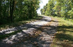
Listed on the National Register of Historic Places in
1975. A historic map-sheet match is not published yet. The record needs a coordinate-quality review before it can be joined to a sheet boundary.
From the record
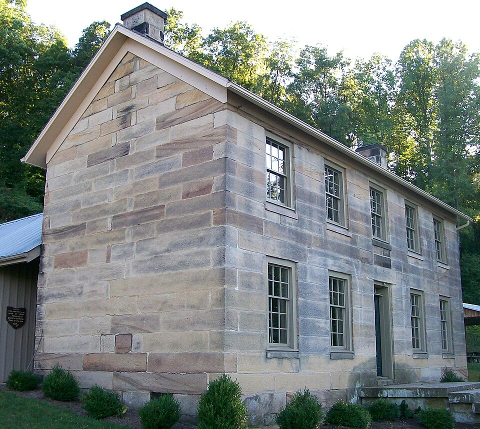
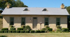
“The Kennedy Stone House is located in Salt Fork State Park in Guernsey County, Ohio. The house and surrounding structures were placed on the National Register on October 3, 1975.”
Wikipedia article Kennedy Stone House, CC BY-SA 4.0.
one of 18 National Register listings in Guernsey County · listed in 1975 · category: Building · one of 1 National Historic Landmarks in Guernsey County.
National Register reference number.75001412- the number the National Park Service assigned this property when it was listed, and the key its nomination file is catalogued under at the National Archives.
At this early day most of the settlers belonged to some branch of the Presbyterian Church, but no church was erected because each settler insisted on worshiping as he had been accustomed; therefore they worshiped in churches outside of the township, many in the Union Churcli at Washington, in Wills Township. This was the Associate Reformed Church. Some were members of the Presbyterian organization southeast of Washington. At an earl}- day Rev. Alexander McCoy, who, with Rev. Robert Warwick, founded the Reformed Dissenting Presbyterian Church, January 27, 1801, came here and preached at the house of James Bratton, five miles east of Cambridge, on the Steubenville Road. The Dissenters then organized the Wills Creek congregation of the Reformed Dissenting Presbytery. They erected a tent in a grove near Thomas Armstrong's, which had seating capacity for a large audience. They also built a large log cabin, with two chimneys for use in winter, and afterwards erected a frame church near Miller's Mill, in Liberty Township. There services were held until September, 1850, when the presbytery was dissolved. Rev. John Anderson was the first regular pastor, and his successor was Rev. Moses Oldham. The first Ruling Elders were John Armstrong, Joseph Bell, David Douglas and Isaac Oldham. A large number of the congregation were citizens of Jefferson Township. The first church organization in the township was the Allen Methodist Episcopal Church, founded in 1816. The second congregation was begun at a meeting held in the house of Andrew Clark, on the Sugar-tree Fork. The Associate Reformers held meetings there for some time, and later erected a church edifice on the site of North Salem. A larger building is now being constructed. Rev. James Duncan was the first pastor, Rev. William Johnson the second, and Rev. "William Sommer the third. Rev. John W. Martin is the present pastor. The third church organization was in September, 1867, when the Pleasant Hill United Presbyterian Church was organized. Robert Kirk wood and Abraham Armstrong were chosen Ruling Elders. Levi P. Scott was carpenter of the church edifice, which cost $725. Rev. Rufus Johnson was the first pastor, and Rev. J. W. Martin is the present pastor. The Ruling Elders are Robert Kirkwpod, Abraham Armstrong, George Allcnder, H. J. Martin and Andrew Clark; Deacons, McLean Armstrong, T. C. Kirkwood, J. W. Armstrong, William Scott and John Marling.
Regional context, not property-specific
evidence. The
federal wildfire occurrence database
lists 15 fires within 5 miles of Kennedy Stone House between
2013 and 2020, burning about 15 acres in total. None started naturally. 1 was recorded as arson.
Distance is straight-line from the map coordinates, so a fire counted
here may appear on a neighbouring settlement's page as well.
Reported cause
Fires
Debris and open burning
8
Missing data/not specified/undetermined
6
Arson/incendiarism
1
The most recent of
them, most recent first, with the day each was reported and the service
that recorded it.
Regional context, not property-specific
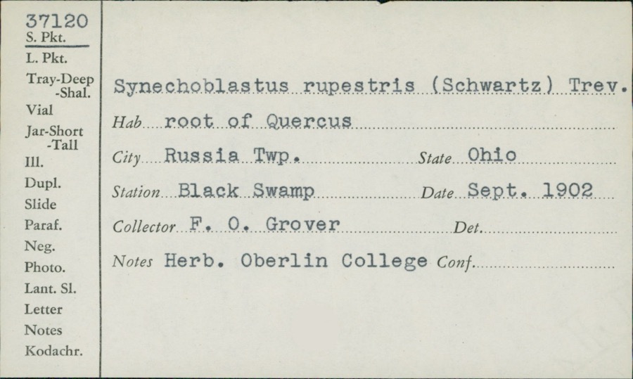
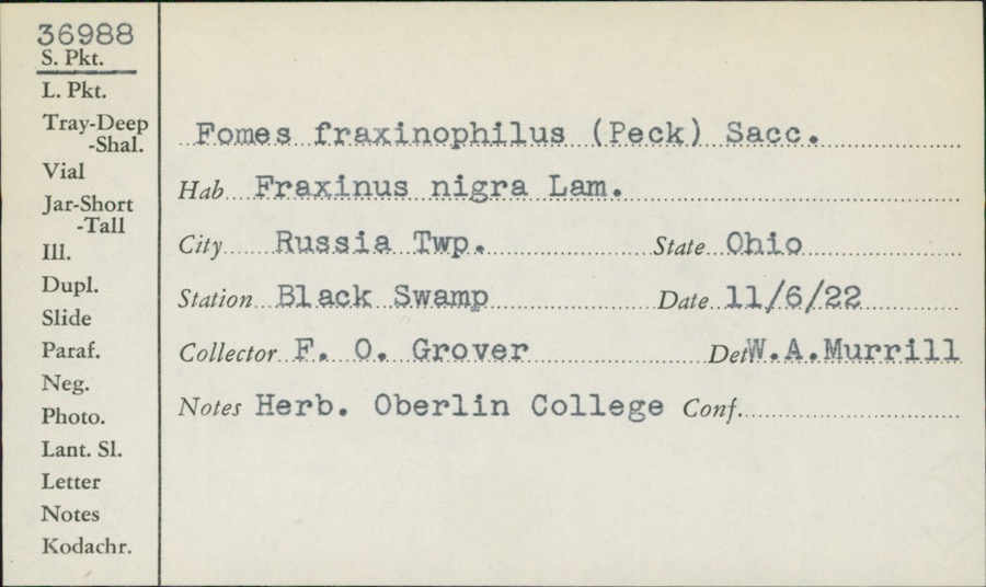
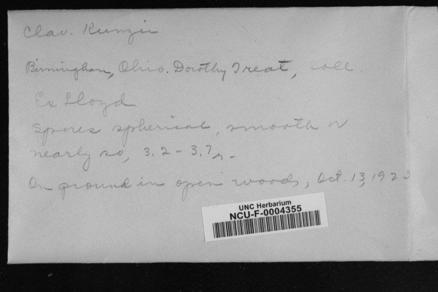
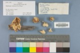
evidence. Museums hold 327 specimens
collected within 10 miles of Kennedy Stone House between 1875 and
1975: 135 Fungi, 111 Animalia, 77 Plantae, 2 Unrecorded, 2 Protozoa. 12 distinct Species records are shown.
Collected by Adams, W. (William), Adams, W. (William), Trautman, M. B. (Milton Bernard) et al., Adams, W.; Adams, S. and others. Each is a
physical object with a catalogue
number, and each entry opens the museum's record. This is what was
collected and kept, not a survey of what lives here - nothing can be
concluded from a species being absent.
Regional context, not property-specific
evidence. The National Weather Service names
North Salem, the town this property stands in, in 4 storm reports between 2000 and 2016: 3 thunderstorm wind, 1 hail.
No death or injury is recorded in these reports. Each account below is quoted exactly as the forecast office
filed it, from the NOAA Storm Events Database, and each date
opens the federal record of that event.
No historic map-sheet match is published
for this property yet. That does not mean no map exists. This record needs
a coordinate-quality review before it can be joined to a sheet boundary.
Browse the county's mapped places while that work is
pending.
From the nomination file
2,672 words on record
When this property was proposed for the
National Register, someone wrote the case for it: what the building is,
and why it matters. That document is a federal record in the public domain.
It is quoted below word for word, never summarised. The text was read off the scanned case file by machine, so the
occasional stray character is the recogniser's and the 1970s
typewriter's.
Description of the property
about 75 feet away. The front door is in the center of the facade, with two windows to either side. On the second story, a shorter central been extensively vandalized, with all of the windows, stair rail, and condition, far beyond repair, and is to be removed soon to make the CONDITION UNEXPOSED UNALTERED EXCELLENT MOVED DETERIORATED DESCRIPTION DATE XALTERED RUINS property safer for the increasing crowds which visit the house. the roof of a single-bay frame porch. doors destroyed.However, fireplace mantels appear to be original. The Kennedy Stone House is a rectangular two-story structure of local The central hallway opens onto two rooms on each floor.The house has by almost l4 feet long.The interior space is about five feet high.
door is flanked by four windows smaller than those on the first floor. East of the house is the old spring-fed well.It is lined with cut end chimmeys appear to be original. probably dates from the late 19th century.It is in badly deteriorated The house has a two-story frame addition at the rear is covered with slate shingles and is in fair condition.The inside structure probably was located above the well. To the southwest of the house is a free-standing cellar which has a CHECK ONE The front of the house faces north;the present shore of the lake is -GOOD measure 9'-9" long. stone, probably sandstone. The house measures 18 by 40 feet and is The house has no basement, only a crawl space.
1837, from Solomon Sturgis, who apparently acquired the land originally is unknown, later decided he had underestimated the cost of the building, The Kennedy Stone House remained in Kennedy family ownership until 1942, of stone houses in Guernsey County. Notebooks written in 1942 by a local resident located fifteen stone houses, built between 1824, and 1853, in 1400-1499 house INVENTION PHILOSOPHY SIGNIFICANCE LAW PERIOD AGRICULTURE BUILDER/ARCHITECT PREHISTORIC RELIGION ART SCIENCE TRANSPORTATION MILITARY POLITICS/GOVERNMENT INDUSTRY THEATER XARCHITECTURE Guernsey County architecture. The Kennedy Stone House is worthy of recognition and preservation as a that several are gone. still stands southwest of the house.
LITERATURE ARCHEOLOGY-PREHISTORIC _COMMUNICATIONS probably contracted for construction of his home soon after purchasing the X1800-1899 fairly well-preserved example of first- and second-generation residential build the fruit cellar or cave, the barrel-vaulted stone structure which _EXPLORATION/SETTLEMENT The Kennedy Stone House stands in the northeast quarter of Section 7 of _ECONOMICS The Kennedy/is of local architectural significance as one of a dwindling number -1600-1699 -SCULPTURE -1700-1799 -ENGINEERING _COMMERCE and the water rose to within about 75 feet of the house.The original which the house was built were acquired by Benjamin Kennedy on January4, _CONSERVATION -1500-1599 - EDUCATION and for an additional payment of either $60.00 or $l00.00,he agreed to land.
Jefferson Township, Guernsey County, Ohio. The original 80 acres upon Guernsey County. Some were noted as being in poor condition, and it is likely An interesting footnote to the house's construction:the contract for when it was sold to the state as part of the Salt Fork Lake development. The house was occupied until 1966. Its last resident was Don Kennedy,
Quoted from the National Register nomination
for reference 75001412, 26 pages, held by the National Archives in Record
Group 79. See the
catalogue record.
Listed places nearby
2 within 8 miles
Other National Register properties close
enough to walk or drive between, ordered by distance from this one. Both
positions come from the same geocoding pass that matched these properties
to their map sheets.
Listing record. National Park Service National Register of Historic Places, listed-properties dataset, current to 2026-05-22.
Map join. Address geocoded through the United States Census geocoder, then tested against the published boundary of every sheet in the USGS Historical Topographic Map Collection.
How this page is made. Listing fields come from federal records; map-sheet coverage is a labelled coordinate-to-boundary calculation, not a source-field claim.
Wildfire. Short, Karen C. 2022. Spatial wildfire occurrence data for the United States, 1992-2020 [FPA_FOD_20221014]. 6th Edition. Fort Collins, CO: Forest Service Research Data Archive. https://doi.org/10.2737/RDS-2013-0009.6 Collected with United States Government funding and usable without additional permissions or fees.
Specimens. Global Biodiversity Information Facility (GBIF), https://www.gbif.org/. Only records licensed CC0 or CC BY are used. Records licensed CC BY-NC are excluded because this site carries advertising. Images are checked individually and any whose licence is non-commercial, no-derivatives or unreadable is refused.
Storms. NOAA National Centers for Environmental Information, Storm Events Database https://www.ncei.noaa.gov/stormevents/ A work of the United States government, no copyright under 17 U.S.C. 105. Narratives are quoted verbatim from the National Weather Service report and are not edited or summarised.
 Block
Block