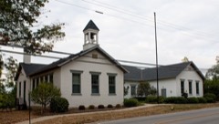
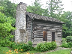
Listed on the National Register of Historic Places in
1989. A historic map-sheet match is not published yet. The record needs a coordinate-quality review before it can be joined to a sheet boundary.
From the record
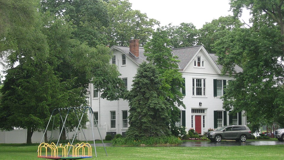
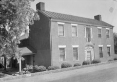
“The William Edwards Farmhouse is a historic residence near Cincinnati in the village of Newtown, Ohio, United States. One of the area's leading early farmhouses, it has been designated a historic site.”
Wikipedia article William Edwards Farmhouse, CC BY-SA 4.0.
one of 314 National Register listings in Hamilton County · listed in 1989 · category: Building · one of 9 National Historic Landmarks in Hamilton County.
National Register reference number.89001455- the number the National Park Service assigned this property when it was listed, and the key its nomination file is catalogued under at the National Archives.
What happened here
An account from the chapter on Newtown village, The inset identifies its exact
source book and publication year.
of Colerain township, was born on St. Patrick's day, the seventeenth of March, 1808; is of Welsh and English descent on his father's side and of French descent on that of his mother. Mason Jones Cloud, his grandfather, came from Virginia about the year 1778, and settled in Boone county, Kentucky. Unfortunately for the fate of Mason, he was required to return to Virginia for a sum of money there due him, and after only a three days' stay in his new home, in company with two others, set out on his perilous trip, and, with his companions, was massacred on Licking river by the hostile Indians.
General Massie's survey, No. 2,276, in the north part of the township, and on the border of the Little Miami bottoms at the foot of the hills, in 1801, by General James Taylor, and was by him at first called Mercersburgh, in honor of General Mercer, of Revolutionary fame. The most easterly part of the present site was first built up, and bore the name of Mercersburgh ; but afterwards the whole of the site was occupied under the designation of Newtown.
A stone building was erected at Newtown in 18 13 for the use of the Methodist Episcopal church. When a new meeting-house was put up on the same site in 1861, the stones used for this basement were taken from the old building. Rev. John Strange was the first circuitrider to serve the Methodist charge here. The Revs. Philip and James Gatch, and other pioneers of Methodism in the Miami valley, also often preached here. "Mother Jones" is remembered as the first Methodist woman in or near the place.
Regional context, not property-specific
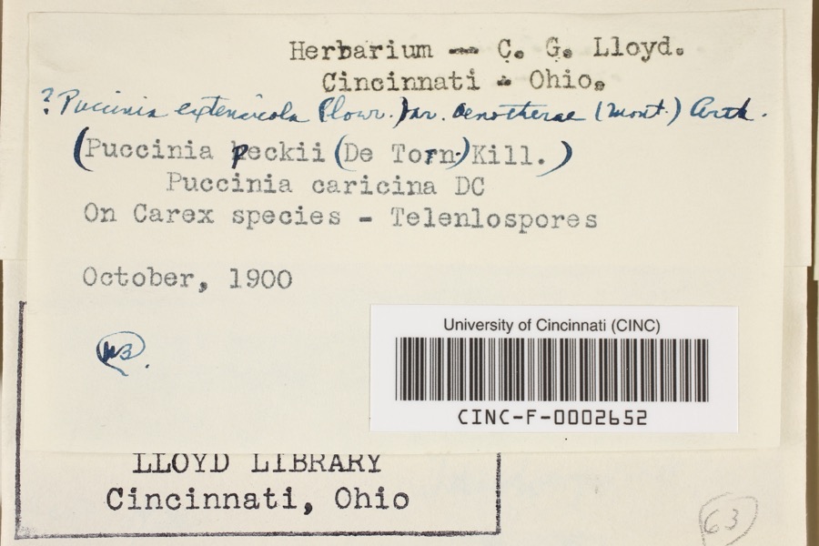
evidence. Museums hold 5,807 specimens
collected within 10 miles of Edwards, William, Farmhouse between 1827 and
1975: 3,433 Fungi, 1,325 Animalia, 663 Plantae, 347 Protozoa, 26 Unrecorded, 13 Chromista. 12 distinct Species records are shown.
Collected by 14753, A. Braun, A. F. Braun and others. Each is a
physical object with a catalogue
number, and each entry opens the museum's record. This is what was
collected and kept, not a survey of what lives here - nothing can be
concluded from a species being absent.
Regional context, not property-specific
evidence. The federal mineral resources record lists
4 workings within 5 miles of Edwards, William, Farmhouse: 3 past producers, 1 producer.
1 still produces. What was taken out: Sand and Gravel, Construction. Distance is straight-line from the
map coordinates, so a quarry counted here may appear on a neighbouring
settlement's page as well.
Regional context, not property-specific
evidence. The National Weather Service names
Newtown, the town this property stands in, in 16 storm reports between 1998 and 2019: 8 thunderstorm wind, 6 hail, 1 flash flood, 1 flood.
No death or injury is recorded in these reports. Each account below is quoted exactly as the forecast office
filed it, from the NOAA Storm Events Database, and each date
opens the federal record of that event.
No historic map-sheet match is published
for this property yet. That does not mean no map exists. This record needs
a coordinate-quality review before it can be joined to a sheet boundary.
Browse the county's mapped places while that work is
pending.
From the nomination file
3,552 words on record
When this property was proposed for the
National Register, someone wrote the case for it: what the building is,
and why it matters. That document is a federal record in the public domain.
It is quoted below word for word, never summarised. The text was read off the scanned case file by machine, so the
occasional stray character is the recogniser's and the 1970s
typewriter's.
Statement of significance
*locally Applicable National Register Criteria The William Edwards Farmhouse, now in Newtown, is eligible for house is notable for its four-over-four plan, gambrel roof, and The house is in Anderson Township, which was created in 1793 and lies in the extreme southeast corner of Hamilton County. District, land set aside by Congress in 1784 to compensate "metes and bounds" or "indiscriminate surveys" using natural Ihe house was built for William Edwards, the son of Isaac on the acreage in 1807. In 1823, William Edwards married Nancy Day, the daughter of an early settler in Anderson Township. X See continuation sheet 1840-1887 Architecture Significant Person Cultural Affiliation sophisticated Greek Revival elements.
Virginia soldiers for their service during the Revolutionary boundaries such as streams and trees as dividing points. Architect/Builder 427 adjacent to the paternal homestead.
This adjacent farm had the only part of the county which is in the Virginia Military Areas of Significance (enter categories from instructions) listing under Criterion c because the house is a distinctive Significant Dates Newtown, the first village in Anderson Township, was settled as that time ne took over one of his father's farms in Land Grant Unknown mansion in the 1881 History of Hamilton County, this grand Certifying official has considered the significance of this property in relation to other properties: Period of Significance Edwards was born in 1802,the oldest son of Isaac Edwards by his house built in 1840, one of the first brick structures in the soon after the 1795 Treaty of Greeneville.
Criteria Considerations (Exceptions) State significance of property, and justify criteria, criteria considerations, and areas and periods of significance noted above. statewide nationally William example of an early Anderson Township farmhouse.Described as a Edwaras who was a New Jersey native of Welsh ancestry.
Quoted from the National Register nomination
for reference 89001455, 37 pages, held by the National Archives in Record
Group 79. See the
catalogue record.
Listed places nearby
6 within 8 miles
Other National Register properties close
enough to walk or drive between, ordered by distance from this one. Both
positions come from the same geocoding pass that matched these properties
to their map sheets.
Listing record. National Park Service National Register of Historic Places, listed-properties dataset, current to 2026-05-22.
Map join. Address geocoded through the United States Census geocoder, then tested against the published boundary of every sheet in the USGS Historical Topographic Map Collection.
How this page is made. Listing fields come from federal records; map-sheet coverage is a labelled coordinate-to-boundary calculation, not a source-field claim.
Specimens. Global Biodiversity Information Facility (GBIF), https://www.gbif.org/. Only records licensed CC0 or CC BY are used. Records licensed CC BY-NC are excluded because this site carries advertising. Images are checked individually and any whose licence is non-commercial, no-derivatives or unreadable is refused.
Mines and quarries. USGS Mineral Resources Data System (MRDS) https://mrdata.usgs.gov/mrds/ A work of the United States government, no copyright under 17 U.S.C. 105.
Storms. NOAA National Centers for Environmental Information, Storm Events Database https://www.ncei.noaa.gov/stormevents/ A work of the United States government, no copyright under 17 U.S.C. 105. Narratives are quoted verbatim from the National Weather Service report and are not edited or summarised.
 Block
Block