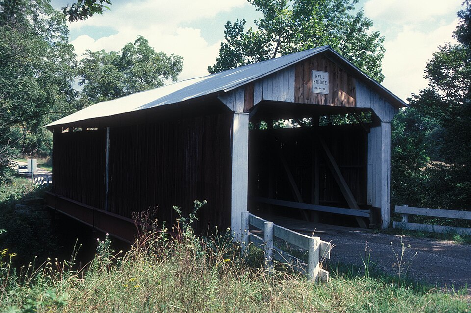
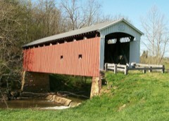
Listed on the National Register of Historic Places in
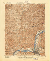
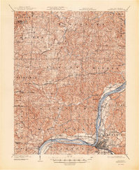
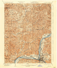
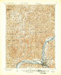
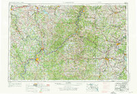
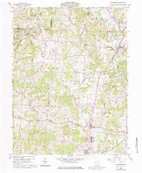
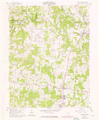
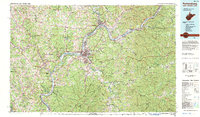
2012. 16 historic map sheets show this location, the earliest from 1902.
From the record
“The first permanentsettlement in Ohio was located at the mouth of the Muskingum River in 1788, and it became the City of Marietta. Though Ohio was well endowed in natural resources, and was an attractive location for homes, farms and state was built in in Columbiana County a competent stone mason, and could therefore do both jobs.”
Narrative Statement of Significance, National Register nomination for Bell Covered Bridge. Machine-read text.
one of 39 National Register listings in Washington County · listed in 2012 · category: STRUCTURE · significant for ENGINEERING · one of 1 National Historic Landmarks in Washington County.
National Register reference number.12000836- the number the National Park Service assigned this property when it was listed, and the key its nomination file is catalogued under at the National Archives.
Then and now
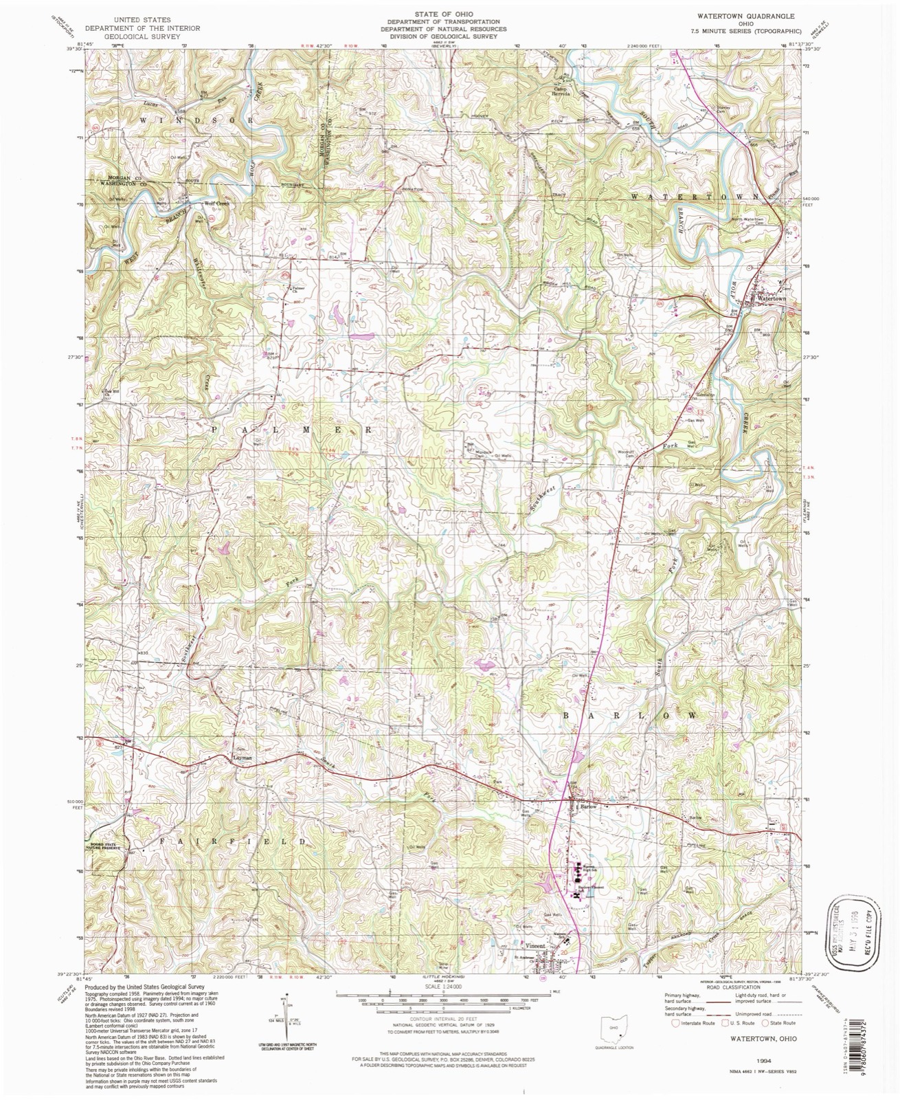
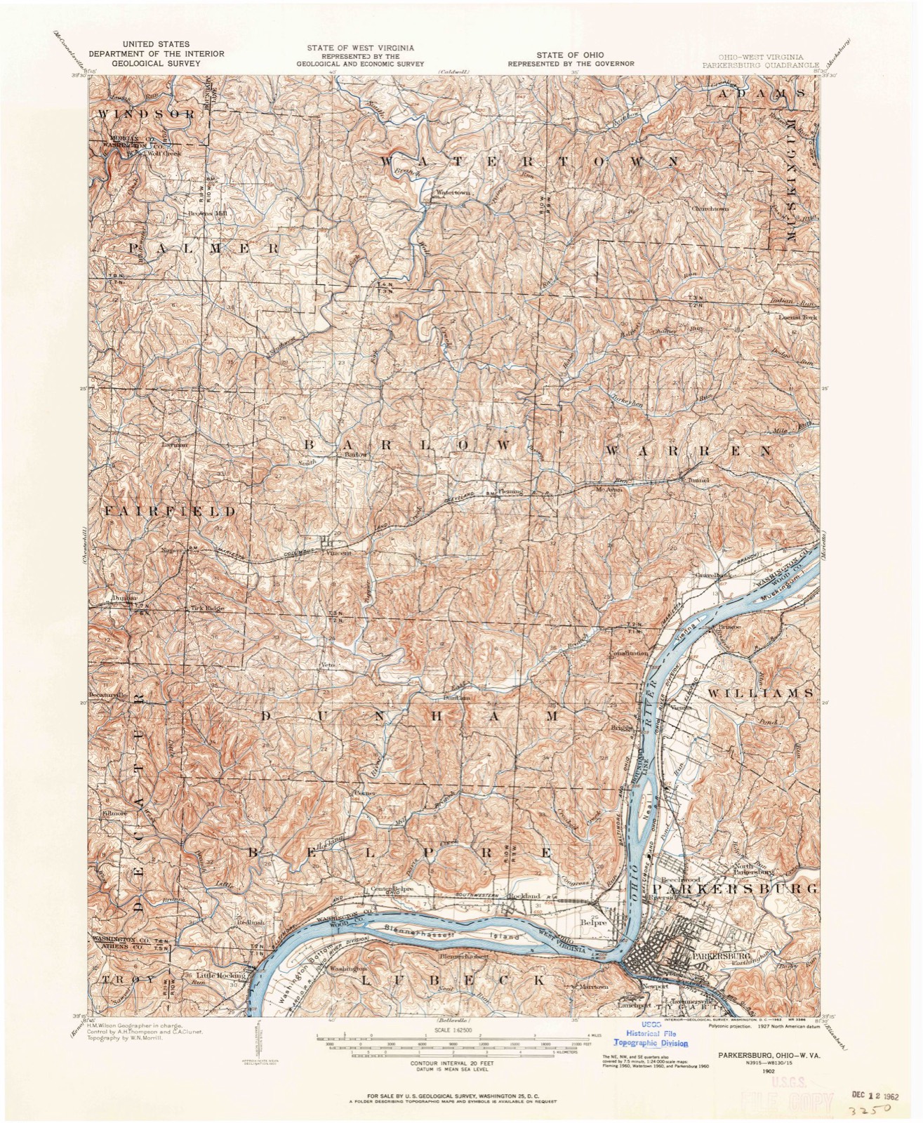
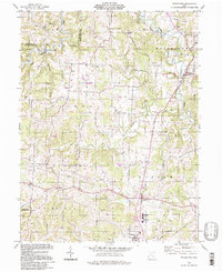
1902 to 1994
The ground this property stands on, surveyed
92 years apart. Drag the handle to wipe between them. Both sheets are
United States Geological Survey originals; neither has been altered.
19021994
The ground it stands on
13,310 words
The chapter on Barlow Township in History of Washington County, Ohio, published 1881 names Vincent. This is what it says, exactly as the scans read.
In the summer of 1800, William Vincent and family, Cornelius Houghland, his brother-in-law, Thomas Mc- Guire, and their families arrived in this vicinity. Duty Greene came the following year, and was probably the first Methodist in this locality. He was one of the leading men in the religious work of those early days, especially as a leader in the singing, and was very partial to a familiar methodist hymn called the "Good Old Way," which he sang on very frequent occasions.
Cornelius Houghland, an early settler of what is now Barlow township, was a native of Hampshire county, Virginia, where he was born in 1773. In the spring of 1796 he married Anna Stalcut, and the fall of the saine year left for Kentucky. He soon found his way to the vicinity of Williamstown opposite Marietta, where he made a settlement on a branch of Big run since known as Houghland's run. In April, 1801, with his brotherin-law Thomas McGuire, he removed to what was then known as 'White Oak settlement," and located on the farm now owned by Neal I.oynachan's heirs, one mile west of Barlow village. In his log cabin he kept the first licensed tavern in the township. he license was issued January 5, 1806, for the township of Wooster, and was signed by E. W. Tupper. Mr. Houghland was killed March 10, £818, while cutting timber, a tree falling upon him. His wife died April 29, 1824, in her forty-eighth year. 'Their children were Polly, Margaret, Ruth, John, Eleanor, Elza, Lewis, David, and Arna. All are now dead except Anna (widow of Harris Palmer), who lives in Palmer township, aged sixty-four. Polly was the wife of Rev. Edmund Mc- Ginnis. Margaret married Benjamin F. Palmer, of Barlow. She died May 19, 1875, in her seventy-seventh year. She had four children: Joah F., Joseph, Cornelius (who died young), and Elza H. Ruth Houghland died in childhood. Eleanor became the wife of Vincent Smith, of Plymouth, this county.
Regional context, not property-specific
evidence. The
federal wildfire occurrence database
lists 2 fires within 5 miles of Bell Covered Bridge between
2019 and 2020, burning about 2 acres in total. None started naturally. None was recorded as arson.
Distance is straight-line from the map coordinates, so a fire counted
here may appear on a neighbouring settlement's page as well.
Reported cause
Fires
Equipment and vehicle use
1
Missing data/not specified/undetermined
1
The most recent of
them, most recent first, with the day each was reported and the service
that recorded it.
Regional context, not property-specific
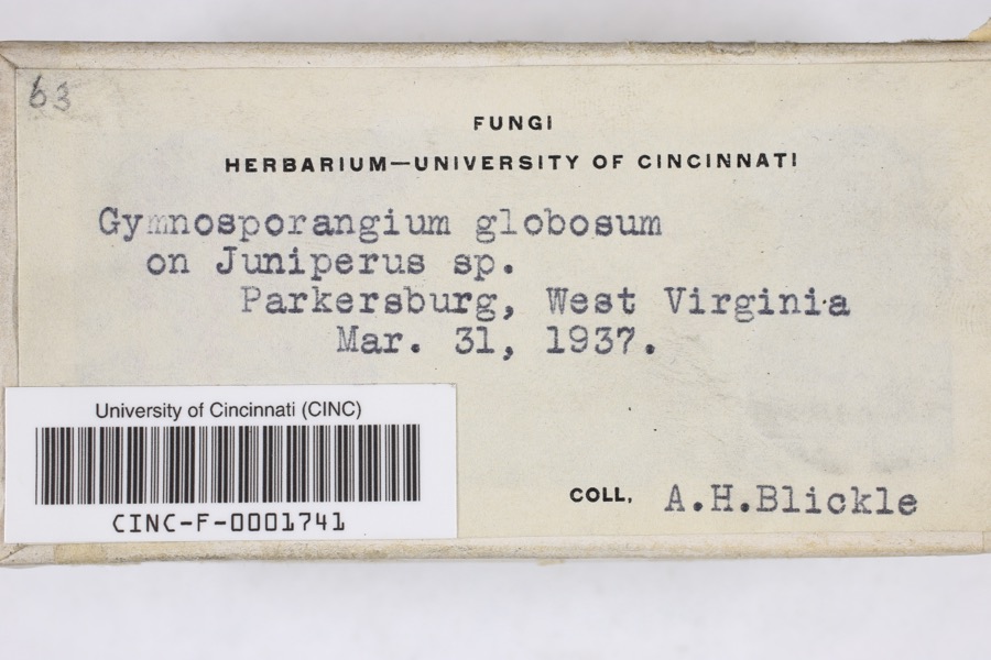
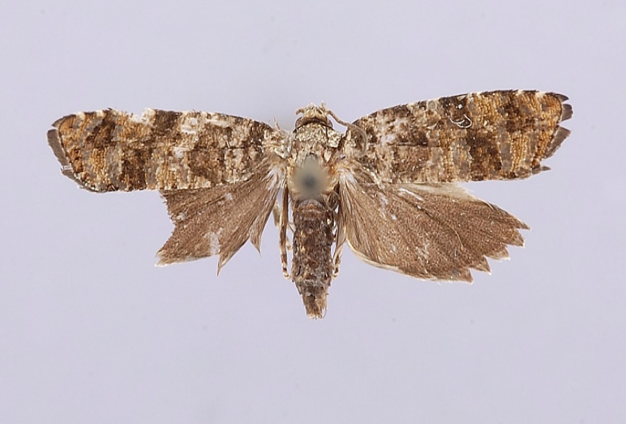
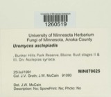
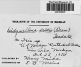
evidence. Museums hold 272 specimens
collected within 10 miles of Bell Covered Bridge between 1877 and
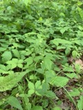
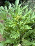
1975: 143 Fungi, 108 Animalia, 18 Plantae, 3 Chromista. 12 distinct Species records are shown.
Collected by Archer W. A., Archer, W. A., Bartholomew E. and others. Each is a
physical object with a catalogue
number, and each entry opens the museum's record. This is what was
collected and kept, not a survey of what lives here - nothing can be
concluded from a species being absent.
Regional context, not property-specific
evidence. The National Weather Service names
Vincent, the town this property stands in, in 5 storm reports between 1996 and 2017: 2 hail, 2 thunderstorm wind, 1 flash flood.
No death or injury is recorded in these reports. Each account below is quoted exactly as the forecast office
filed it, from the NOAA Storm Events Database, and each date
opens the federal record of that event.
Rains of 2.5 to 3 inches fell in 90 minutes or less. Roads were flooded. One vehicle was flooded by Tupper Creek. Warren Township had water into several basements. A few evacuations were required along Route 150.
United States Geological Survey topographic
sheets whose coverage includes this point. Matched by geocoding the centre of Vincent, because the National Register records a descriptive location rather than a street address, then
testing that coordinate against the published boundary of every sheet.
When this property was proposed for the
National Register, someone wrote the case for it: what the building is,
and why it matters. That document is a federal record in the public domain.
It is quoted below word for word, never summarised. The text was read off the scanned case file by machine, so the
occasional stray character is the recogniser's and the 1970s
typewriter's.
Statement of significance
below) that is credited as the builders of the time who remained in their home counties, Henderson was known to travel the eastern and southern parts of the state to build his bridges. Counties where he worked included Coshocton, Guernsey, Jackson and Muskingum, and Henderson was a competent mason and could therefore build the bridge abutments as well. One example is the Bridge Company as an erector. ' 1997 Specifications. [http://www.fhwa.dot.gov/publications/research/infrastructure/structures/04098/04.cfm] Builder NPS Form 10-900 Narrative Description (Expires 5/31/2012) 16, 18, 20, 21, 27 and 29). The bridge also features sandstone abutments (photos 9, 11, 13, 15, and 17). The Bell Henderson was a prolific nineteenth century Ohio bridge builder who resided in Beverly, Ohio.
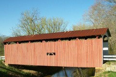
Unlike many other bridge Wolf Creek. Henderson's longest bridge was the Stillwell Bridge over the Muskingum River in Muskingum County. While 5 U.S. Department of Transportation Federal Highway Administration. Chapter 4. Types of Longitudinal Trusses - Covered Bridge Manual - April 2005 The Bell Covered Bridge is a covered multiple kingpost through truss design bridge crossing over Falls Creek (Southwest bridge was originally used for horse-powered transportation and was later modified to allow motorized vehicles to cross the creek. The bridge is still in use today. The design of the bridge is a covered multiple kingpost through truss! southeastern Ohio area in the late nineteenth century that still stand.
These included two other multiple kingpost through Henderson's bid to build the bridge was unsuccessful, he did get the contract to construct the foundation for it. During a United States Department of the Interior National Park Service / National Register of Historic Places Registration Form OMB No. 1024-0018 Bell Covered Bridge Washington, Ohio Name of Property County and State The Bell Covered Bridge was constructed in 1888 and sits across Falls Creek in Barlow Township.
Quoted from the National Register nomination
for reference 12000836, 49 pages, held by the National Archives in Record
Group 79. See the
catalogue record.
Listed places nearby
5 within 8 miles
Other National Register properties close
enough to walk or drive between, ordered by distance from this one. Both
positions come from the same geocoding pass that matched these properties
to their map sheets.
Listing record. National Park Service National Register of Historic Places, listed-properties dataset, current to 2026-05-22.
Map join. Address geocoded through the United States Census geocoder, then tested against the published boundary of every sheet in the USGS Historical Topographic Map Collection.
How this page is made. Listing fields come from federal records; map-sheet coverage is a labelled coordinate-to-boundary calculation, not a source-field claim.
Wildfire. Short, Karen C. 2022. Spatial wildfire occurrence data for the United States, 1992-2020 [FPA_FOD_20221014]. 6th Edition. Fort Collins, CO: Forest Service Research Data Archive. https://doi.org/10.2737/RDS-2013-0009.6 Collected with United States Government funding and usable without additional permissions or fees.
Specimens. Global Biodiversity Information Facility (GBIF), https://www.gbif.org/. Only records licensed CC0 or CC BY are used. Records licensed CC BY-NC are excluded because this site carries advertising. Images are checked individually and any whose licence is non-commercial, no-derivatives or unreadable is refused.
Storms. NOAA National Centers for Environmental Information, Storm Events Database https://www.ncei.noaa.gov/stormevents/ A work of the United States government, no copyright under 17 U.S.C. 105. Narratives are quoted verbatim from the National Weather Service report and are not edited or summarised.
 Block
Block