Listed on the National Register of Historic Places in
1976. A historic map-sheet match is not published yet. The record needs a coordinate-quality review before it can be joined to a sheet boundary.
From the record
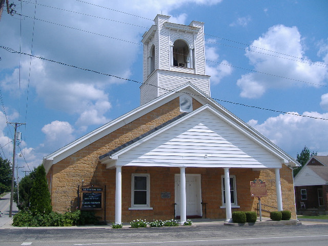
“West Union Presbyterian Church is a historic congregation of the Presbyterian Church (U.S.A.) in the village of West Union on the southern edge of Ohio. Formed at the turn of the nineteenth century, it worships in an early nineteenth-century building constructed by a future governor of Kentucky, and it counted among its earliest members a governor of Ohio.”
Wikipedia article West Union Presbyterian Church, CC BY-SA 4.0.
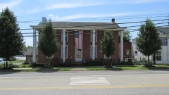
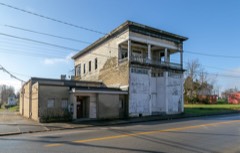
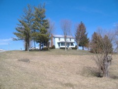
one of 12 National Register listings in Adams County · listed in 1976 · category: Building.
National Register reference number.76001359- the number the National Park Service assigned this property when it was listed, and the key its nomination file is catalogued under at the National Archives.
The ground it stands on
7,452 words
The chapter on Tiffin Township in History of Adams County, Ohio, published 1900 names West Union. This is what it says, exactly as the scans read.
Joseph Eyler built the first cabin in this township where he afterwards made his home near Killinstown, in the winter of 1795. The Eyler farm of 300 acres is now owned by John Crawford, Samuel Mc- Feeters and Sandy Craigmile. When Rev. James B. Fintey passed over Tod's Trace from Limestone to Chillicothe with his father's cattle and "niggers" in 1796, he noted the fact that there was a cabin near where the town of West Union now stands, built by Mr. Oiler, but no one lived in - it. Daniel Collier, about this time, selected a site for his future home on one of the most beautiful terraces along Ohio Brush Creek, known to this day as the "Collier farm." Just below him on the creek was Duncan McKenzie. Andrew Ellison took up his residence on Lick Fork near the old stone house which he built in 1798, where the town of Waterford was laid out. Richard Harrison about the same time located at Waterford and kept a tavern there. John Treber built a cabin in 1796 a half mile further down Lick Fork where the old tavern building yet stands, and Peter Shoemaker, Simon Shoemaker, John Shepherd, and Thomas Davis located near by on Ohio Brush Creek. Job Dinning, John Killin, Jacob Piatt, James Ralston, and Adam Hempleman located in the vicinity of Killinstown. Simon Fields settled further east on Brush Creek. George Harper, James Collins, James January and Robert Mc- Clanahan located near West Union.
Ohio Brush Creek, a beautiful little river, forms the northeastern and eastern boundary of the township. Lick Fork is its longest tributary in the township. It rises at a spring near West Union and flows north- east uniting with Ohio Brush Creek at the Sproull bridge. Beasley's Fork also takes its source from a spring in West Union, flows southeast and unites with Ohio Brush Creek opposite the Nathan Foster farm in Greene Township. A branch of the East Fork of Eagle Creek rises in the western part of the township and flows south along its western border.
Regional context, not property-specific
evidence. The
federal wildfire occurrence database
lists 34 fires within 5 miles of West Union Presbyterian Church between
2003 and 2020, burning about 43 acres in total. None started naturally. 12 were recorded as arson.
Distance is straight-line from the map coordinates, so a fire counted
here may appear on a neighbouring settlement's page as well.
Reported cause
Fires
Debris and open burning
16
Arson/incendiarism
12
Missing data/not specified/undetermined
3
Misuse of fire by a minor
1
Power generation/transmission/distribution
1
Smoking
1
The most recent of
them, most recent first, with the day each was reported and the service
that recorded it.
Regional context, not property-specific
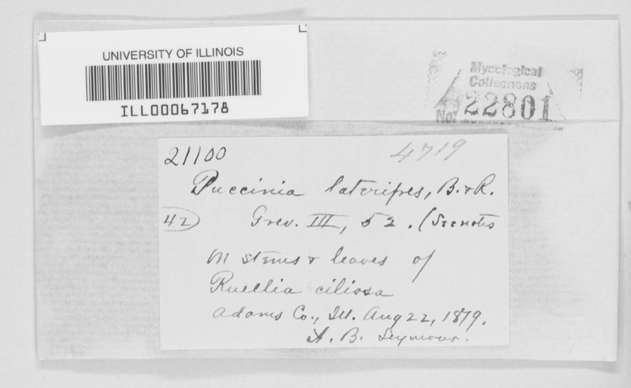
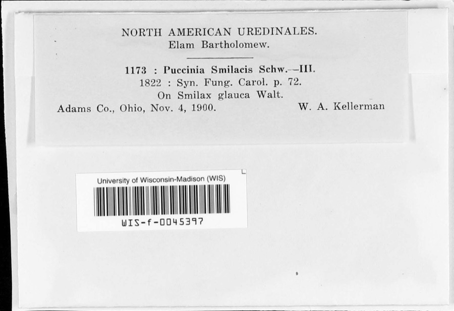
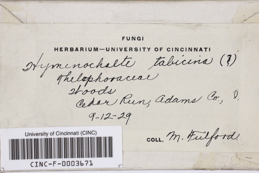
evidence. Museums hold 728 specimens
collected within 10 miles of West Union Presbyterian Church between 1866 and
1975: 408 Animalia, 205 Fungi, 97 Plantae, 18 Protozoa. 12 distinct Species records are shown.
Collected by A JOHN, A. B. Seymour, A. Cronquist and others. Each is a
physical object with a catalogue
number, and each entry opens the museum's record. This is what was
collected and kept, not a survey of what lives here - nothing can be
concluded from a species being absent.
Regional context, not property-specific
evidence. The federal mineral resources record lists
1 working within 5 miles of West Union Presbyterian Church: 1 producer.
All of them still produce. What was taken out: Stone, Crushed/Broken. Distance is straight-line from the
map coordinates, so a quarry counted here may appear on a neighbouring
settlement's page as well.
Regional context, not property-specific
evidence. The National Weather Service names
West Union, the town this property stands in, in 70 storm reports between 1995 and 2025: 32 thunderstorm wind, 15 hail, 11 flash flood, 8 flood.
The reports record 1 death and 2 injuries. Each account below is quoted exactly as the forecast office
filed it, from the NOAA Storm Events Database, and each date
opens the federal record of that event.
The tornado touched down just east of Highway 41, about 2 miles northeast of West Union. The tornado then traveled east northeast for just over 11 miles, destroying at least 5 mobile homes. Two homes were also damaged. One of these homes was built of brick. A 99 year old woman was in her mobile home in Tiffin Township when the tornado struck. She was injured from this tornado and passed away several days later. Two others were also injured from this tornado. A dozen cattle were killed and major power transmission poles were knocked over. Numerous trees were snapped or uprooted. Based on the damage surveyed, the maximum estimated wind speed of this tornado was 125 miles per hour.
A tornado touched down and tracked east along State Route 125. The greatest damaged occurred at a farm where four barns were damaged, one of which was completely destroyed. Two nearby homes and a church sustained minor structural damage. At least three dozen trees were also downed along the path of the tornado.
This thunderstorm had a long line of downbursts which caused damage to numerous trees, some of which fell on a house and a mobile home. Embedded within this path of damage was evidence that a tornado made brief touchdowns. In two different areas, tree damage showed twisting motion indicating that a tornado existed. Also, one home was knocked off its foundation in one of the areas where the tornado touched down. Winds from some of the downburst activity were near 100 mph.
Several trees were downed near State Route 125 and Ralston Road due to thunderstorm winds. Numerous trees and power lines were also downed between West Union and Blue Creek.
Several roads were flooded and closed with one to two feet of water rushing over them, including State Route 41 between State Route 136 and Panhandle Road. Numerous streams were out of their banks and overflowing roadways.
Heavy rain affected south central Ohio during the evening, with some locations receiving over one inch across Adams County. The heavy rain caused some high water over State Route 41 near Bentonville.
1 paper published in this town,
digitised by the Library of Congress and free to read: 0 issues,
0 pages. Every page is searchable, so a name or a street can be
looked for directly in what the town printed about itself at the time.
No historic map-sheet match is published
for this property yet. That does not mean no map exists. This record needs
a coordinate-quality review before it can be joined to a sheet boundary.
Browse the county's mapped places while that work is
pending.
Named in the fire insurance atlases
Sanborn surveyors printed an index of the
town's establishments at the front of each atlas. This property is named in
one, read straight off the scanned sheet.
When this property was proposed for the
National Register, someone wrote the case for it: what the building is,
and why it matters. That document is a federal record in the public domain.
It is quoted below word for word, never summarised. The text was read off the scanned case file by machine, so the
occasional stray character is the recogniser's and the 1970s
typewriter's.
Description of the property
side has one single door entrance and a 4 sash (6/1-6/1) mullion window CONDITION UNEXPOSED EXCELLENT DETERIORATED UNALTERED FAIR DESCRIPTION original stone section. XALTERED square in design. brick chimney which is on the west side where this annex is attached to the CHECK ONE now serves as a doorway into the annex.The roof is asbestos shingle.The The original structure is a rectangular 3x 6bay random stone) The frame annex is a rectangular 2x 4 bay structure and is attached to tie single centered bellfry is inset and was built in l9l2.It is open and frame pedimented portico after l942) which covers the entrance.(Note XORIGINAL SITE in 18i0 and the frame annex constructed 1940-41.
LRUINS -GOOD of the church suddenly became the front!) The entrance consists of six- The and a six-light single-hung casement type window.There are two three-light four three-light single-hung basement windows.The north side has one 6/1 The original entrance on the east side single-hung basement windows.T and a single door entrance at the eastern end.This doorway was originally stained glass windows.The north side has five 2/2 stained glass windows covered with asbestos shingles and the roof is asphalt shingle.The south building with no basement. a window but was converted to a doorway sometime after l932.The south side The eastern side has three 6/l windows and This structure faces west and has a 3 bay open window and an inset single door entrance.
There is also a below-ground structed of rusticated concrete blocks (regular ashlar).The walls are when originally built, the entrance was on the east side; however,prior to has five 2/2 stained glass windows. It rests on a full basement con- AREAS OF
Statement of significance
church building fund was Adams County's treasurer, General David Bradford, a tavern keeper of West Union. Bradford, a self-proclaimed Major General, abolitionist preacher, John Rankin, preached at least one sermon in this old church, that being an installation service during April of 1830.
During 1400-1499 COMMERCE 1700-1799 ARCHEOLOGY-HISTORIC EDUCATION THEATER ARCHITECTURE COMMUNICATIONS PHILOSOPHY ART SCULPTURE SCIENCE TRANSPORTATION LAW PERIOD SIGNIFICANCE MILITARY INDUSTRY EXPLORATION/SETTLEMENT INVENTION RELIGION _POLITICS/GOVERNMENT LITERATURE quartered in the church.Wood veneer today covers the graffiti carved on The West Union United Presbyterian Church is one of the oldest church _1600-1699 quarry is still visible today beside State Route 247.The famous radical local history _CONSERVATION and became governor of that state.One of those who contributed to the cause of this link between an Ohio governor and a Kentucky governor _ECONOMICS _PREHISTORIC .ENGINEERING _1900- - MUSIC X_OTHER (SPECIFY) BUILDER/ARCHITECT Thomas Metcalf cluded cattle, wheat and a six dollar hat.
Metcalf later moved to Kentucky sylvania during 1794-95. Thomas Kirker, an Adams Countian who was Oh1o's was one of the main instigators of the Whiskey Rebellion in western Penn- the Civil War, soldiers of the 7oth Ohio Volunteer Infantry were temporarily second governor in 1807-08,instituted the move to build the church. Be- $250,one half paid in cash and the other half in trade items which in- known as "old Stonehammer",was the stonemason and built the structure for calf),the church is known today as "The Church of the Governors".The 10
Quoted from the National Register nomination
for reference 76001359, 17 pages, held by the National Archives in Record
Group 79. See the
catalogue record.
Listed places nearby
6 within 8 miles
Other National Register properties close
enough to walk or drive between, ordered by distance from this one. Both
positions come from the same geocoding pass that matched these properties
to their map sheets.
Listing record. National Park Service National Register of Historic Places, listed-properties dataset, current to 2026-05-22.
Map join. Address geocoded through the United States Census geocoder, then tested against the published boundary of every sheet in the USGS Historical Topographic Map Collection.
How this page is made. Listing fields come from federal records; map-sheet coverage is a labelled coordinate-to-boundary calculation, not a source-field claim.
Wildfire. Short, Karen C. 2022. Spatial wildfire occurrence data for the United States, 1992-2020 [FPA_FOD_20221014]. 6th Edition. Fort Collins, CO: Forest Service Research Data Archive. https://doi.org/10.2737/RDS-2013-0009.6 Collected with United States Government funding and usable without additional permissions or fees.
Specimens. Global Biodiversity Information Facility (GBIF), https://www.gbif.org/. Only records licensed CC0 or CC BY are used. Records licensed CC BY-NC are excluded because this site carries advertising. Images are checked individually and any whose licence is non-commercial, no-derivatives or unreadable is refused.
Mines and quarries. USGS Mineral Resources Data System (MRDS) https://mrdata.usgs.gov/mrds/ A work of the United States government, no copyright under 17 U.S.C. 105.
Storms. NOAA National Centers for Environmental Information, Storm Events Database https://www.ncei.noaa.gov/stormevents/ A work of the United States government, no copyright under 17 U.S.C. 105. Narratives are quoted verbatim from the National Weather Service report and are not edited or summarised.
 Block
Block