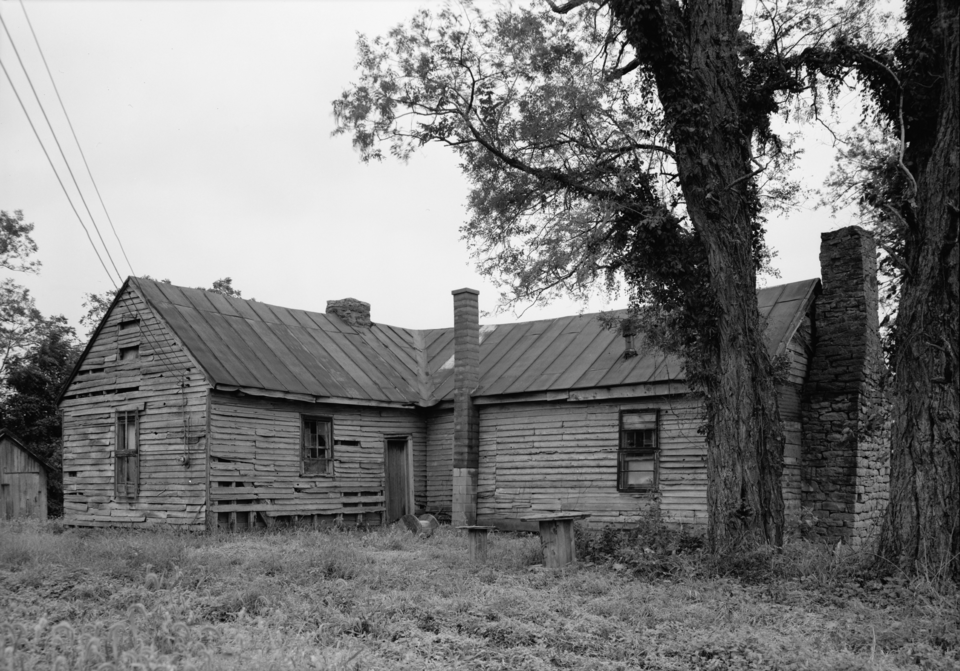
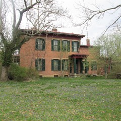
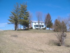
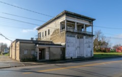
Photograph by Original: This file comes from the Historic American Buildings Survey (HABS), Historic American Engineering Record (HAER, Public domain. Via
Wikimedia Commons.
Buckeye Station
Listed on the National Register of Historic Places in
1974. A historic map-sheet match is not published yet. The record needs a coordinate-quality review before it can be joined to a sheet boundary.
From the record
“Buckeye Station was built in 1797 by General Nathaniel Massie, a surveyor and early Ohio settler, who lived there for a brief time. It is located just east of Manchester, Ohio, in the uplands overlooking the Ohio River.”
Wikipedia article Buckeye Station, CC BY-SA 4.0.
one of 12 National Register listings in Adams County · listed in 1974 · category: Building.
National Register reference number.74001388- the number the National Park Service assigned this property when it was listed, and the key its nomination file is catalogued under at the National Archives.
This is the name given to that portion of the highlands of Monroe Township where the first settlers of Manchester located their one hundred acre tracts of land given them by Nathaniel Massie after a residence of two years at Manchester in accordance with the terms of the agreement made between him and them on December 29, 1790. Massie reserved one thousand acres on the high table-lands overlooking the Ohio River about one mile below Wrightsville, Here was built Buckeye Station in 1796, for a full description of which see this volume under the heading, "The Oldest House in Ohio."
Wrightsville lies on the right bank ot the Ohio River about six miles above Manchester. It was laid out by James Hobson, April 22, 1847, on a plat of 144 lots. The situation is pleasant and there is ample room for a city, but the place seems never to have flourished although it is the nearest shipping point from West Union to the Ohio River.
Regional context, not property-specific
evidence. The
federal wildfire occurrence database
lists 27 fires within 5 miles of Buckeye Station between
2000 and 2020, burning about 387 acres in total. None started naturally. 11 were recorded as arson.
Distance is straight-line from the map coordinates, so a fire counted
here may appear on a neighbouring settlement's page as well.
Reported cause
Fires
Arson/incendiarism
11
Debris and open burning
10
Missing data/not specified/undetermined
5
Smoking
1
The most recent of
them, most recent first, with the day each was reported and the service
that recorded it.
Regional context, not property-specific
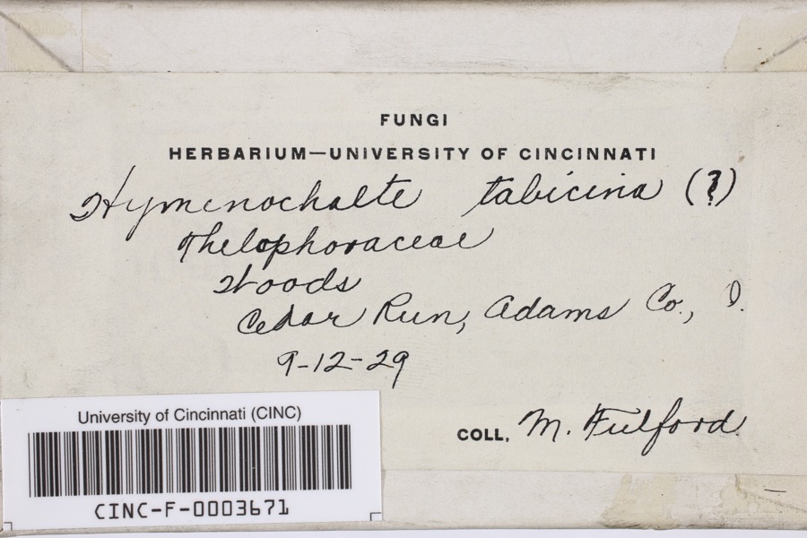
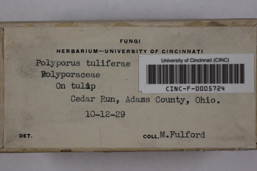
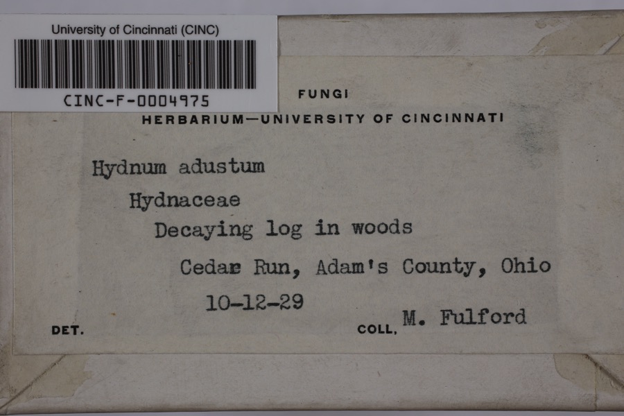
evidence. Museums hold 460 specimens
collected within 10 miles of Buckeye Station between 1920 and
1975: 373 Animalia, 51 Fungi, 36 Plantae. 12 distinct Species records are shown.
Collected by A JOHN, A. Cronquist, ANSEL JOHN and others. Each is a
physical object with a catalogue
number, and each entry opens the museum's record. This is what was
collected and kept, not a survey of what lives here - nothing can be
concluded from a species being absent.
Regional context, not property-specific
evidence. The federal mineral resources record lists
1 working within 5 miles of Buckeye Station: 1 prospect.
None of them still produces. What was taken out: Clay. Distance is straight-line from the
map coordinates, so a quarry counted here may appear on a neighbouring
settlement's page as well.
Regional context, not property-specific
evidence. The National Weather Service names
Manchester, the town this property stands in, in 32 storm reports between 1994 and 2024: 24 thunderstorm wind, 4 hail, 3 flash flood, 1 flood.
The reports record 2 deaths. Each account below is quoted exactly as the forecast office
filed it, from the NOAA Storm Events Database, and each date
opens the federal record of that event.
A mobile home was destroyed by high winds, probably from a microburst. The 63-year-old male owner was killed outdoors at the site when he was struck by debris from the roof during the event. He died of head injuries. Trees were downed and large hail also fell.
No historic map-sheet match is published
for this property yet. That does not mean no map exists. This record needs
a coordinate-quality review before it can be joined to a sheet boundary.
Browse the county's mapped places while that work is
pending.
From the nomination file
1,687 words on record
When this property was proposed for the
National Register, someone wrote the case for it: what the building is,
and why it matters. That document is a federal record in the public domain.
It is quoted below word for word, never summarised. The text was read off the scanned case file by machine, so the
occasional stray character is the recogniser's and the 1970s
typewriter's.
Description of the property
configuration was designed as little desire on the part of the present owner to restore This etc. Buckeye Station was still in sound condition when one where the siding has remained intact. The house is of braced-frame at the junction of the wings. remain;and these are fastened with forged rose-head nails. the edge of a hill overlooking the Ohio River.A central front were heated bya central stone chimney with two fireplace the house was well finished and the grounds were landscaped. RECEIVED rooms.In recent years this north room has been used to By tradition the interior of The house now hangs in and chimney and an exterior door. a unit or if one or the other wings of the L was an addition. shown as a barn on the USGs map. - 20th Century SPECIFIC DATE(S) (If Applicable and Known) AREAS OF
Quoted from the National Register nomination
for reference 74001388, 11 pages, held by the National Archives in Record
Group 79. See the
catalogue record.
Listed places nearby
6 within 8 miles
Other National Register properties close
enough to walk or drive between, ordered by distance from this one. Both
positions come from the same geocoding pass that matched these properties
to their map sheets.
Listing record. National Park Service National Register of Historic Places, listed-properties dataset, current to 2026-05-22.
Map join. Address geocoded through the United States Census geocoder, then tested against the published boundary of every sheet in the USGS Historical Topographic Map Collection.
How this page is made. Listing fields come from federal records; map-sheet coverage is a labelled coordinate-to-boundary calculation, not a source-field claim.
Wildfire. Short, Karen C. 2022. Spatial wildfire occurrence data for the United States, 1992-2020 [FPA_FOD_20221014]. 6th Edition. Fort Collins, CO: Forest Service Research Data Archive. https://doi.org/10.2737/RDS-2013-0009.6 Collected with United States Government funding and usable without additional permissions or fees.
Specimens. Global Biodiversity Information Facility (GBIF), https://www.gbif.org/. Only records licensed CC0 or CC BY are used. Records licensed CC BY-NC are excluded because this site carries advertising. Images are checked individually and any whose licence is non-commercial, no-derivatives or unreadable is refused.
Mines and quarries. USGS Mineral Resources Data System (MRDS) https://mrdata.usgs.gov/mrds/ A work of the United States government, no copyright under 17 U.S.C. 105.
Storms. NOAA National Centers for Environmental Information, Storm Events Database https://www.ncei.noaa.gov/stormevents/ A work of the United States government, no copyright under 17 U.S.C. 105. Narratives are quoted verbatim from the National Weather Service report and are not edited or summarised.
 Block
Block