Listed on the National Register of Historic Places in
1976. A historic map-sheet match is not published yet. The record needs a coordinate-quality review before it can be joined to a sheet boundary.
From the record
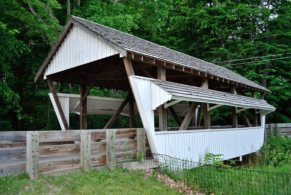
“The Rock Mill Covered Bridge, on Rock Mill Place in Bloom Township, Fairfield County, Ohio, is a Queen Post truss bridge. It was listed on the National Register of Historic Places in 1976.”
Wikipedia article Rock Mill Covered Bridge, CC BY-SA 4.0.
one of 29 National Register listings in Fairfield County · listed in 1976 · category: Structure · one of 1 National Historic Landmarks in Fairfield County.
National Register reference number.76001424- the number the National Park Service assigned this property when it was listed, and the key its nomination file is catalogued under at the National Archives.
Regional context, not property-specific
evidence. The
federal wildfire occurrence database
lists 5 fires within 5 miles of Rock Mill Covered Bridge between
2012 and 2020, burning about 29 acres in total. None started naturally. None was recorded as arson.
Distance is straight-line from the map coordinates, so a fire counted
here may appear on a neighbouring settlement's page as well.
Reported cause
Fires
Debris and open burning
4
Power generation/transmission/distribution
1
The most recent of
them, most recent first, with the day each was reported and the service
that recorded it.
Regional context, not property-specific
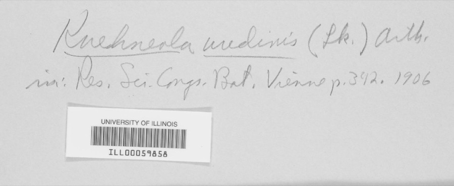
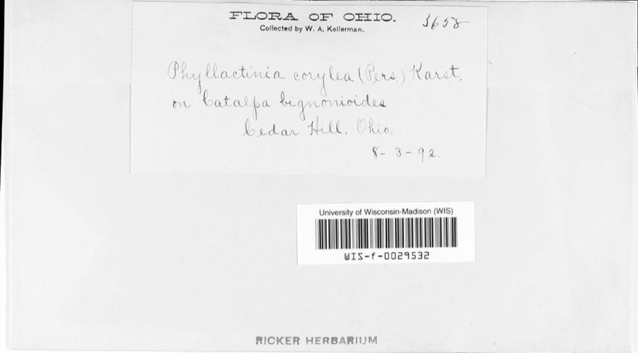
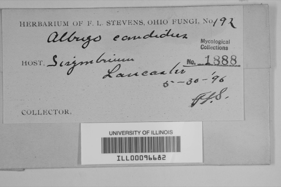
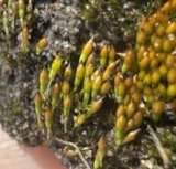
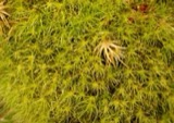
evidence. Museums hold 2,269 specimens
collected within 10 miles of Rock Mill Covered Bridge between 1843 and
1975: 1,779 Animalia, 395 Fungi, 86 Plantae, 6 Protozoa, 2 Chromista, 1 Unrecorded. 12 distinct Species records are shown.
Collected by Asa Gray; W. S. Sullivant, Bales, B. R., Birch, W. and others. Each is a
physical object with a catalogue
number, and each entry opens the museum's record. This is what was
collected and kept, not a survey of what lives here - nothing can be
concluded from a species being absent.
Regional context, not property-specific
evidence. The federal mineral resources record lists
5 workings within 5 miles of Rock Mill Covered Bridge: 3 producers, 2 past producers.
3 still produce. What was taken out: Sand and Gravel, Construction. Distance is straight-line from the
map coordinates, so a quarry counted here may appear on a neighbouring
settlement's page as well.
No historic map-sheet match is published
for this property yet. That does not mean no map exists. This record needs
a coordinate-quality review before it can be joined to a sheet boundary.
Browse the county's mapped places while that work is
pending.
From the nomination file
2,634 words on record
When this property was proposed for the
National Register, someone wrote the case for it: what the building is,
and why it matters. That document is a federal record in the public domain.
It is quoted below word for word, never summarised. The text was read off the scanned case file by machine, so the
occasional stray character is the recogniser's and the 1970s
typewriter's.
Description of the property
below the top chord. The Rock Mill Bridge is a simple, two CONDITION Excellent Moved covered bridge spanning the deep gorge of the Hocking River post with the diagonals in compression and the vertical mem- The structure underconsideration is a one-span wooden truss tend from abutment to abutment. These abutments are cut stone that have been reinforced with concrete pillars at each side. consists of the.triangular form very similar to the basic King- bers in tension.However, in a Queenpost ttuss, instead of and the abutments are cut stone. both portals and siding. The overall width is l5'2" with an 11' vertical clearance. The Rock Mill Bridge is a trim little span, painted white on (Check One) panel Queenpost, 36'3" long overall with a 33' clear span.
The portals are projected, the roof is shingle Fair cent years and the bridge now rests on steel I-beams that ex- cal siding with roofed windows running the length of the bridge The overall appearance of Rock Mill Covered Bridge has changed The county has made renovations in re- on both sides. on county road 418 in Bloom Township section 25 at Rock Mill little over the years. tions through which the river has cut a gorge some 5o' deep. PERIOD (Check One or More as Appropriate) - Pre-Columbian! | 16th Century - Prehistoric - Other (Specify) - Theater - Transportation STATEMENT OF
Statement of significance
Rock Mill Covered Bridge is the oldest and the shortest best-known and most often-photographed covered bridges. In Historical losophy Commerce Conservation Engineering Architecture Military Communications Industry Landscape Aboriginal Science Religion/Phi Education Invention SIGNIFICANCE Agriculture Political Music Literature River and is considered by many to be our most picturesque Urban Planning Rock Mill Covered Bridge spans the deep gorge of the Hocking Sculpture covered bridge! Social/Human- The present mill was built in l824 and ceased operations in that was put out by the U.s. Travel Agency. in Ohio, where once they were so numerous. The first mill was of Fairfield County's roofed spans.It is also one of Ohio's built here on the headwaters of the Hocking River in l799.
1965,it was featured on a poster promoting tourism in Ohio SPECIFIC DATE(S) (If Applicable and Known) 1849 Art itarian only two such mill and covered bridge combinations left here The Rock Mill Covered Bridge takes its name from the historic Greene Press, 1970, page 48 & 49. Garber, D. Wo, Waterwheels and Mil1stones, Ohio Historical Society, Printing Company, 1969, page 77. DEFINING A RECTANGLE LOCATING THE PROPERTY DEFINING THE LENTER POINI OF A PROPERTY OF LESS THAN TEN ACRES ILIST ALL STATES AND COUNTIES FOR PROPERTIES OVERLAPPING STATE OR COUNTY BOUNDARIES
Quoted from the National Register nomination
for reference 76001424, 21 pages, held by the National Archives in Record
Group 79. See the
catalogue record.
Listed places nearby
6 within 8 miles
Other National Register properties close
enough to walk or drive between, ordered by distance from this one. Both
positions come from the same geocoding pass that matched these properties
to their map sheets.
Listing record. National Park Service National Register of Historic Places, listed-properties dataset, current to 2026-05-22.
Map join. Address geocoded through the United States Census geocoder, then tested against the published boundary of every sheet in the USGS Historical Topographic Map Collection.
How this page is made. Listing fields come from federal records; map-sheet coverage is a labelled coordinate-to-boundary calculation, not a source-field claim.
Wildfire. Short, Karen C. 2022. Spatial wildfire occurrence data for the United States, 1992-2020 [FPA_FOD_20221014]. 6th Edition. Fort Collins, CO: Forest Service Research Data Archive. https://doi.org/10.2737/RDS-2013-0009.6 Collected with United States Government funding and usable without additional permissions or fees.
Specimens. Global Biodiversity Information Facility (GBIF), https://www.gbif.org/. Only records licensed CC0 or CC BY are used. Records licensed CC BY-NC are excluded because this site carries advertising. Images are checked individually and any whose licence is non-commercial, no-derivatives or unreadable is refused.
Mines and quarries. USGS Mineral Resources Data System (MRDS) https://mrdata.usgs.gov/mrds/ A work of the United States government, no copyright under 17 U.S.C. 105.
 Block
Block