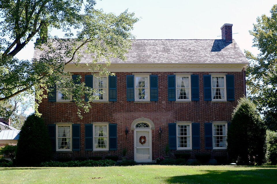
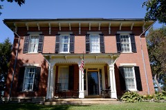
Listed on the National Register of Historic Places in
1975. A historic map-sheet match is not published yet. The record needs a coordinate-quality review before it can be joined to a sheet boundary.
From the record
“In the spring of 1800, three men, names not remembered, came from near Chillicothe and broke ground on the prairie in section number 4, planted corn, and then returned home. They came back in due time and tended their corn twice.”
A Complete History of Fairfield County, Ohio (1877). Machine-read text.
one of 29 National Register listings in Fairfield County · listed in 1975 · category: Building · one of 1 National Historic Landmarks in Fairfield County.
National Register reference number.75001395- the number the National Park Service assigned this property when it was listed, and the key its nomination file is catalogued under at the National Archives.
Amanda lies immediately north of Clear Creek. It is commonly understood that the name was given by William Hamilton, who was the first County Surveyor of Fairfield. It contains the villages of Amanda and Royalton. Amanda is eight miles west of Lancaster, on the Cincinnati Railroad. Its first proprietor was Samuel Kester, and its beginning was about 1830. Royalton is six or seven miles north of Amanda. It is a small village, and was known as Toby Town at the beginning of the settlements.
In the spring of 1800, three men, names not remembered, came from near Chillicothe and broke ground on the prairie in section number 4, planted corn, and then returned home. They came back in due time and tended their corn twice. The next fall one of these men sold his share to Horatio Clark, receiving a horse in payment. The other two likewise disposed of their shares to parties not now remembered. In November of the same year, Wilkinson Lane, of Huntingdon County, Tennessee, settled on section 8, and was succeeded in the month of June following by Thomas Cole, my grandfather, who had entered the sertion. His grandchildren still own one half of the section. The family were never troubled bj' the Indians. In a few years my grandfather built a school-house on his land, hired a teacher, Abraham Cole, for eight dollars a month, and then invited all who wished to send their children and pay a pro rata share, or not, as they could or would. In those days school hours were from " sun to sun, " or as soon as scholars ari^^ved. On one occasion, my father. Broad Cole, (born in 1802), thought of " beating the master to school," some day, and, after a few failures to do so, left home one morning about day-break ; but, on arriving at the school-house, he was greeted with a good fire, and found the master, a Mr. Smith, banking up dirt against the school-house to protect against cold. That house was built on the north part of section 18. David Svvope and William Long were settlers on section 8, in June, 1807. In 1800, Dr. Silas Allen bought and settled on section number 3, building a house on the crest of a hill, near the western line of said section, and fronting a prairie on the west, in section number 4. His purchase -consisted of about five hundred acres. At that time there was not the mark of an ax from Lancaster to his house. Said section was soon given to his four sons - Whiting, Lemuel, Jedediah and Benjamin Allen. Lemuel and Jedediah gave ground for a village, and about 1810 William Hamilton, then living on section 22, surveyed and laid out the village of Royalton, about one mile south-east of Toby Town. For some years it went by the name of Toby Town, generally, but by the Allen family it was called Royalton, after a village in Vermont, from whence they came. Elvira Allen, now Mrs.
Regional context, not property-specific
evidence. The
federal wildfire occurrence database
lists 5 fires within 5 miles of Reber, Valentine, House between
2007 and 2019, burning about 12 acres in total. None started naturally. None was recorded as arson.
Distance is straight-line from the map coordinates, so a fire counted
here may appear on a neighbouring settlement's page as well.
Reported cause
Fires
Debris and open burning
4
Power generation/transmission/distribution
1
The most recent of
them, most recent first, with the day each was reported and the service
that recorded it.
Regional context, not property-specific
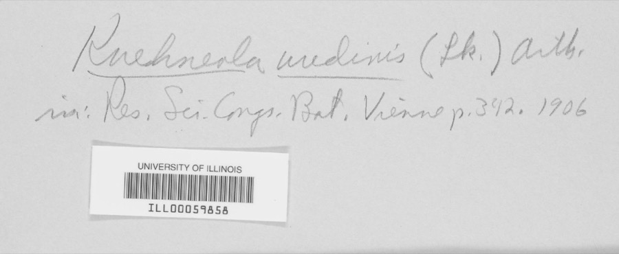
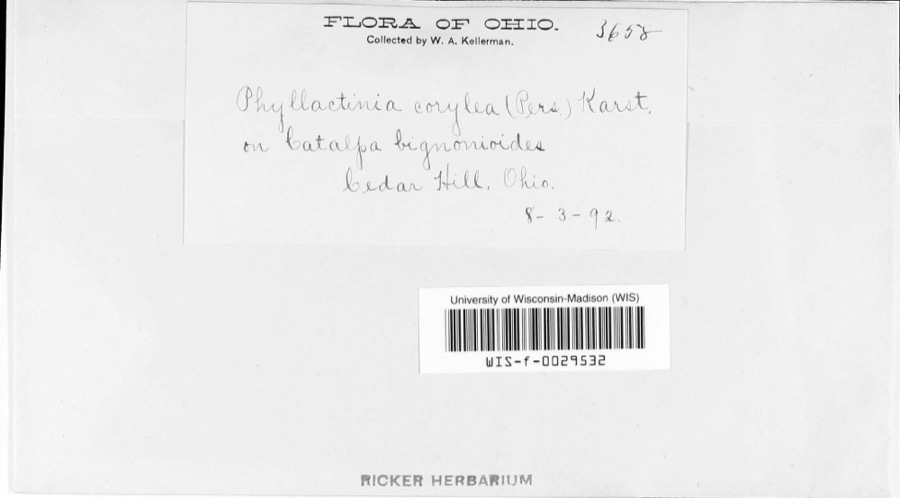
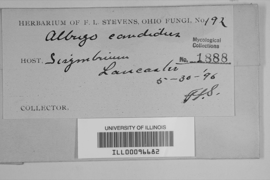
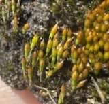
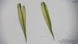
evidence. Museums hold 2,240 specimens
collected within 10 miles of Reber, Valentine, House between 1843 and
1975: 1,751 Animalia, 395 Fungi, 85 Plantae, 6 Protozoa, 2 Chromista, 1 Unrecorded. 12 distinct Species records are shown.
Collected by Asa Gray; W. S. Sullivant, Bales, B. R., Birch, W. and others. Each is a
physical object with a catalogue
number, and each entry opens the museum's record. This is what was
collected and kept, not a survey of what lives here - nothing can be
concluded from a species being absent.
Regional context, not property-specific
evidence. The federal mineral resources record lists
2 workings within 5 miles of Reber, Valentine, House: 2 past producers.
None of them still produces. What was taken out: Sand and Gravel, Construction. Distance is straight-line from the
map coordinates, so a quarry counted here may appear on a neighbouring
settlement's page as well.
Regional context, not property-specific
evidence. The National Weather Service names
Lancaster, the town this property stands in, in 97 storm reports between 1994 and 2026: 48 thunderstorm wind, 32 hail, 9 flash flood, 4 flood.
The reports record 1 injury. Each account below is quoted exactly as the forecast office
filed it, from the NOAA Storm Events Database, and each date
opens the federal record of that event.
Flash flooding along Fetters Run near College Avenue caused damage to the roadway, as well as significant damage to the Lancaster Festival stages, equipment, and vehicles.
Multiple water rescues occurred in the apartment complex along Sater Drive where water was over three feet deep. Additionally, over 30 vehicles were flooded in deep water.
Multiple swift water rescues were needed for animals trapped inside of a building submerged with three to four feet of water on Granville Pike. The building backs up to Fetters Run stream.
Numerous trees and power lines were blown down across the eastern part of the county. There was minor damage to siding and gutters on a few homes on Betz Road, to the west of Lancaster.
A ground survey with assistance form the Fairfield County EMA confirmed a brief and weak tornado touched down in the southwest part of Lancaster.||The survey revealed an eyewitness report of a very weak tornado on the ground near a residence at the west end of Mount Ida Avenue in Lancaster. No damage occurred at this residence. From there the weak tornado moved east through a wheat field with a narrow path of flattened wheat in a convergent pattern. From there the tornado moved between Tarhe Street and Twin Creek Way where minor tree damage occurred, including a couple of uprooted trees and snapped limbs. The tornado appears to have lifted as it approached south Broad Street.
6 papers published in this town,
digitised by the Library of Congress and free to read: 0 issues,
0 pages. Every page is searchable, so a name or a street can be
looked for directly in what the town printed about itself at the time.
No historic map-sheet match is published
for this property yet. That does not mean no map exists. This record needs
a coordinate-quality review before it can be joined to a sheet boundary.
Browse the county's mapped places while that work is
pending.
From the nomination file
1,926 words on record
When this property was proposed for the
National Register, someone wrote the case for it: what the building is,
and why it matters. That document is a federal record in the public domain.
It is quoted below word for word, never summarised. The text was read off the scanned case file by machine, so the
occasional stray character is the recogniser's and the 1970s
typewriter's.
Description of the property
region. The original house was log, built in 1809. In 1820 the five-bay 1og portion was replaced with a large, two-story brick section to the rear of the 1820 portion. well. Modern heating, wiring, plumbing, bathrooms, kitchens and the like have four mantels, all different and ornamented with acorns, urns, medallions, fan Floor boards, not wide, are water sawmilled, as are the rafters. UNEXPOSED CONDITION UNALTERED DETERIORATED XALTERED When the back two story portion was added it was in the popular Victorian pilasters which are reeded and capped with elaborate scroll capitals.Floors being retained. The Victorian portion was restored to be more in keeping CHECK ONE carved stairway winds from the main floor to the attic.The half rail and dado been added. The foundations and steps are stone.
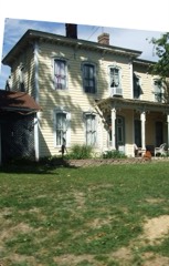
The Valentine Reber house is a particularly fine pioneer farmhouse for the The 1820 house has a handsome center entrance which is slightly recessed with a Interior: The four rooms in the front part of the house measure 18'x 24'.The are 12/l2 with simple stone 1intels and sills.The 1intels have corner two-story brick front portion was built.After the Civil War 1868) the a large iron box latch made by J.Kindler, Lancaster, Ohio 1826-1829. Windows gable ends. A stone plate, dating the house, is high in the west gable end. stone hoodmold with keystone outlines the fanlight. The door is fitted with with the front portion. The two sections of the house blend together quite designs, sunbursts, beads and rope design.
The downstairs mantels have double The long raftersin the attic are surprisingly delicate. They taper, as rafters DATE RUINS paneled embellished with elaborate elongated sunbursts.The interior trim of the front two inside-end chimneys.
The home was built by John Leist, the builder of four of the finest regional artist, wood carver, stone carver, architect and builder, as evidenced by his Northampton County, Pa. in 1784 and settled in Clear Creek Township in 1807 with his young wife, Magdalena Van Reed, in 1805. He was an intelligent, industrious, enterprising and influential man. He reared a family of thirteen 1828 and his son, Henry Reber, became the owner of his father's old home. He of living in a pioneer log house, miles from any neighbors, and returned home build her the big, comfortable, civilized home she had dreamt about. Thus this beautiful regional house was built in Fairfield County, Ohio. ART ARCHEOLOGY-HISTORIC PERIOD LAW RELIGION SIGNIFICANCE THEATER SCULPTURE ECONOMICS regional architecture.
BUILDER/ARCHITECT TRANSPORTATION 1900- LITERATURE SCIENCE INDUSTRY MILITARY XARCHITECTURE _EXPLORATION/SETTLEMENT AGRICULTURE _CONSERVATION _PREHISTORIC John Leist _1700-1799 _PHILOSOPHY The Valentine Reber house is nominated as an exceptionally fine example of Valentine Reber was born in Berks County, Pa.
and came to Fairfield County _EDUCATION _ENGINEERING -1600-1699 - INVENTION -1500-1599 -_1400-1499 -MUSIC in the War of 1812, a member of the Ohio Legislature from 1813-1820, an early Justice of the Peace in Clear Creek Township, and a canal commissioner for unsurpassed in this region for their great beauty.John Leist was born in to the wild and comfortless wilderness of Ohio until her husband promised to where he became one of the most prominent men..He was a captain in the field twenty-two years.He built his houses in the period 1817-1827.
Quoted from the National Register nomination
for reference 75001395, 18 pages, held by the National Archives in Record
Group 79. See the
catalogue record.
Listed places nearby
6 within 8 miles
Other National Register properties close
enough to walk or drive between, ordered by distance from this one. Both
positions come from the same geocoding pass that matched these properties
to their map sheets.
Listing record. National Park Service National Register of Historic Places, listed-properties dataset, current to 2026-05-22.
Map join. Address geocoded through the United States Census geocoder, then tested against the published boundary of every sheet in the USGS Historical Topographic Map Collection.
How this page is made. Listing fields come from federal records; map-sheet coverage is a labelled coordinate-to-boundary calculation, not a source-field claim.
Wildfire. Short, Karen C. 2022. Spatial wildfire occurrence data for the United States, 1992-2020 [FPA_FOD_20221014]. 6th Edition. Fort Collins, CO: Forest Service Research Data Archive. https://doi.org/10.2737/RDS-2013-0009.6 Collected with United States Government funding and usable without additional permissions or fees.
Specimens. Global Biodiversity Information Facility (GBIF), https://www.gbif.org/. Only records licensed CC0 or CC BY are used. Records licensed CC BY-NC are excluded because this site carries advertising. Images are checked individually and any whose licence is non-commercial, no-derivatives or unreadable is refused.
Mines and quarries. USGS Mineral Resources Data System (MRDS) https://mrdata.usgs.gov/mrds/ A work of the United States government, no copyright under 17 U.S.C. 105.
Storms. NOAA National Centers for Environmental Information, Storm Events Database https://www.ncei.noaa.gov/stormevents/ A work of the United States government, no copyright under 17 U.S.C. 105. Narratives are quoted verbatim from the National Weather Service report and are not edited or summarised.
 Block
Block