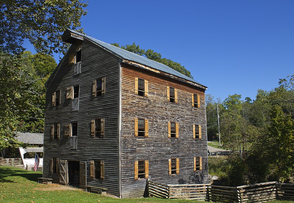
Listed on the National Register of Historic Places in
1990. A historic map-sheet match is not published yet. The record needs a coordinate-quality review before it can be joined to a sheet boundary.
From the record
“The following names have been furnished as first settlers: Abraham Courtright, Jesse D. Courtright, Zephemiah Drake, Christian Merchant, Peter Powel, Conrad Plainer, Michael Thrash, John Smaltz, Michael AUspaugh, Jacob Allspaugh, Levi Moore and Daniel Hoy.”
A Complete History of Fairfield County, Ohio (1877). Machine-read text.
one of 29 National Register listings in Fairfield County · listed in 1990 · category: Building · one of 1 National Historic Landmarks in Fairfield County.
National Register reference number.90000850- the number the National Park Service assigned this property when it was listed, and the key its nomination file is catalogued under at the National Archives.
Bloom was established in 1805. The following names have been furnished as first settlers: Abraham Courtright, Jesse D. Courtright, Zephemiah Drake, Christian Merchant, Peter Powel, Conrad Plainer, Michael Thrash, John Smaltz, Michael AUspaugh, Jacob Allspaugh, Levi Moore and Daniel Hoy. Bloom Township contains Lithopolis and Greencastle. Greencastle was first laid out, and .Jesse D. Courtright was its first proprietor. This was in 1810. In 1814, one Bougher laid out the town of Lithopolis. It is the largest village in the county, possibly. It has three churches and an academy. Lithopolis is fourteen, and Greencastle ten miles from Lancaster, both on the old Columbus road.
Regional context, not property-specific
evidence. The
federal wildfire occurrence database
lists 5 fires within 5 miles of Rock Mill between
2012 and 2020, burning about 29 acres in total. None started naturally. None was recorded as arson.
Distance is straight-line from the map coordinates, so a fire counted
here may appear on a neighbouring settlement's page as well.
Reported cause
Fires
Debris and open burning
4
Power generation/transmission/distribution
1
The most recent of
them, most recent first, with the day each was reported and the service
that recorded it.
Regional context, not property-specific
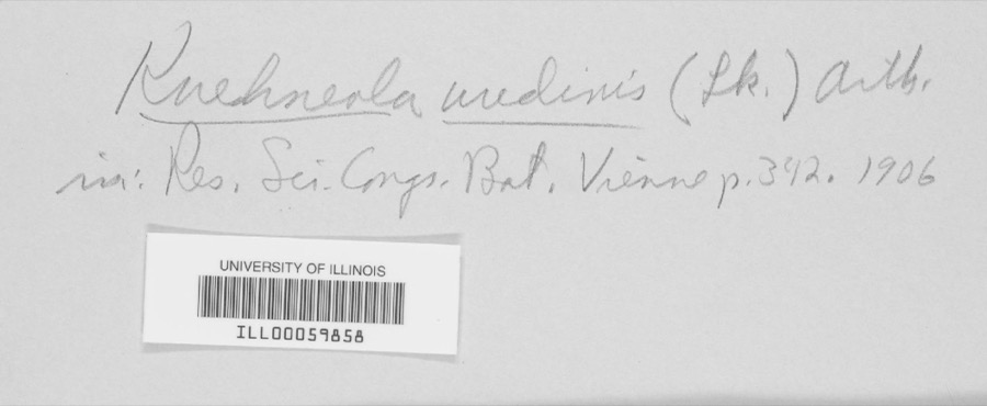
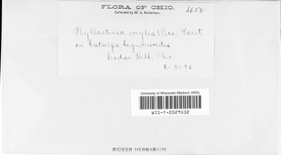
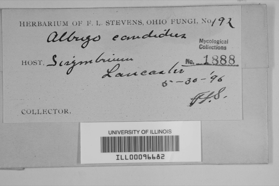
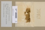
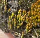
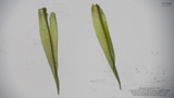
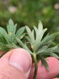
evidence. Museums hold 2,269 specimens
collected within 10 miles of Rock Mill between 1843 and
1975: 1,779 Animalia, 395 Fungi, 86 Plantae, 6 Protozoa, 2 Chromista, 1 Unrecorded. 12 distinct Species records are shown.
Collected by Asa Gray; W. S. Sullivant, Bales, B. R., Birch, W. and others. Each is a
physical object with a catalogue
number, and each entry opens the museum's record. This is what was
collected and kept, not a survey of what lives here - nothing can be
concluded from a species being absent.
Regional context, not property-specific
evidence. The federal mineral resources record lists
5 workings within 5 miles of Rock Mill: 3 producers, 2 past producers.
3 still produce. What was taken out: Sand and Gravel, Construction. Distance is straight-line from the
map coordinates, so a quarry counted here may appear on a neighbouring
settlement's page as well.
Regional context, not property-specific
evidence. The National Weather Service names
Lancaster, the town this property stands in, in 97 storm reports between 1994 and 2026: 48 thunderstorm wind, 32 hail, 9 flash flood, 4 flood.
The reports record 1 injury. Each account below is quoted exactly as the forecast office
filed it, from the NOAA Storm Events Database, and each date
opens the federal record of that event.
Flash flooding along Fetters Run near College Avenue caused damage to the roadway, as well as significant damage to the Lancaster Festival stages, equipment, and vehicles.
Multiple water rescues occurred in the apartment complex along Sater Drive where water was over three feet deep. Additionally, over 30 vehicles were flooded in deep water.
Multiple swift water rescues were needed for animals trapped inside of a building submerged with three to four feet of water on Granville Pike. The building backs up to Fetters Run stream.
Numerous trees and power lines were blown down across the eastern part of the county. There was minor damage to siding and gutters on a few homes on Betz Road, to the west of Lancaster.
A ground survey with assistance form the Fairfield County EMA confirmed a brief and weak tornado touched down in the southwest part of Lancaster.||The survey revealed an eyewitness report of a very weak tornado on the ground near a residence at the west end of Mount Ida Avenue in Lancaster. No damage occurred at this residence. From there the weak tornado moved east through a wheat field with a narrow path of flattened wheat in a convergent pattern. From there the tornado moved between Tarhe Street and Twin Creek Way where minor tree damage occurred, including a couple of uprooted trees and snapped limbs. The tornado appears to have lifted as it approached south Broad Street.
6 papers published in this town,
digitised by the Library of Congress and free to read: 0 issues,
0 pages. Every page is searchable, so a name or a street can be
looked for directly in what the town printed about itself at the time.
No historic map-sheet match is published
for this property yet. That does not mean no map exists. This record needs
a coordinate-quality review before it can be joined to a sheet boundary.
Browse the county's mapped places while that work is
pending.
From the nomination file
3,665 words on record
When this property was proposed for the
National Register, someone wrote the case for it: what the building is,
and why it matters. That document is a federal record in the public domain.
It is quoted below word for word, never summarised. The text was read off the scanned case file by machine, so the
occasional stray character is the recogniser's and the 1970s
typewriter's.
Statement of significance
Mlocally 1824, 1899,CV1905 appears to be structurally unique in the state in the manner in which ledges of the site, combining the man-made elements into the natural. to warrent Investigation by inuustrial historians,. (1799) on the same site, which was the first mill in Fairfield County saw/grist mill, built by Loveland & Smith, continued to be the only were Abraham Bookwalter, Christian Morehart, Joseph Knabenshue, Philip Homrighous (c.1875-), John Foor (Solt, Alspach Bros. & KX See continuation sheet therefore ARCHITECTURE INDUSTRY Significant Dates Unknown Period of Significance further contributing to the significance under criterion D.
Architect/Builder Applicable National Register Criteria Significant Person resources remain in the state that date to this period.It is the Areas of Significance (enter categories from instructions) also significant under Criterion C as one of the few mill structures Certifying official has considered the significance of this property in relation to other properties: the power and grinding levels were incorporated in the sub-level of the Rock Mill in 1824.The representatlon of the early 19th century grist milling industry in grist mill in the township as late as 1822 when it was washed away by Rock Mill was built ln 1824,replacing an earlier log mill structure Cultural Affiliation State significance of property, and justify criteria, criteria considerations, and areas and periods of significance noted above.
Ohio, one of the earliest and most predominant businesses. - retaln enough fabric century, although it is not known if it has been called Rock Mill Subsequent owners of Rock Mill after Barrett Sherman Alspach's acquisition, after which it was used for The mill is now vacant. statewide Criteria Considerations (Exceptions) agricultural storage. Although in ruinous condition, these elaments since its construction.
Quoted from the National Register nomination
for reference 90000850, 50 pages, held by the National Archives in Record
Group 79. See the
catalogue record.
Listed places nearby
6 within 8 miles
Other National Register properties close
enough to walk or drive between, ordered by distance from this one. Both
positions come from the same geocoding pass that matched these properties
to their map sheets.
Listing record. National Park Service National Register of Historic Places, listed-properties dataset, current to 2026-05-22.
Map join. Address geocoded through the United States Census geocoder, then tested against the published boundary of every sheet in the USGS Historical Topographic Map Collection.
How this page is made. Listing fields come from federal records; map-sheet coverage is a labelled coordinate-to-boundary calculation, not a source-field claim.
Wildfire. Short, Karen C. 2022. Spatial wildfire occurrence data for the United States, 1992-2020 [FPA_FOD_20221014]. 6th Edition. Fort Collins, CO: Forest Service Research Data Archive. https://doi.org/10.2737/RDS-2013-0009.6 Collected with United States Government funding and usable without additional permissions or fees.
Specimens. Global Biodiversity Information Facility (GBIF), https://www.gbif.org/. Only records licensed CC0 or CC BY are used. Records licensed CC BY-NC are excluded because this site carries advertising. Images are checked individually and any whose licence is non-commercial, no-derivatives or unreadable is refused.
Mines and quarries. USGS Mineral Resources Data System (MRDS) https://mrdata.usgs.gov/mrds/ A work of the United States government, no copyright under 17 U.S.C. 105.
Storms. NOAA National Centers for Environmental Information, Storm Events Database https://www.ncei.noaa.gov/stormevents/ A work of the United States government, no copyright under 17 U.S.C. 105. Narratives are quoted verbatim from the National Weather Service report and are not edited or summarised.
 Block
Block