Listed on the National Register of Historic Places in
1976. A historic map-sheet match is not published yet. The record needs a coordinate-quality review before it can be joined to a sheet boundary.
From the record
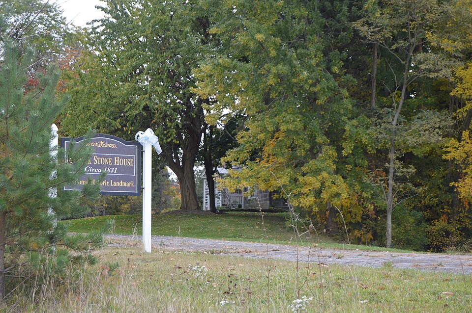
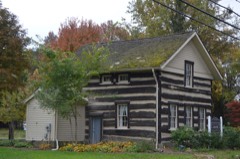
“Judge William Shaw Anderson House is a building in Austintown, Ohio, United States, listed in the National Register of Historic Places on 1976-03-17. It is also known as the "Strock Stone House."”
Wikipedia article Judge William Shaw Anderson House, CC BY-SA 4.0.
one of 59 National Register listings in Mahoning County · listed in 1976 · category: Building.
Architectural style. Federal architecture, Neoclassical architecture
National Register reference number.76001479- the number the National Park Service assigned this property when it was listed, and the key its nomination file is catalogued under at the National Archives.
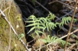
Specimens collected near this property
12 of 138 shown
Regional context, not property-specific
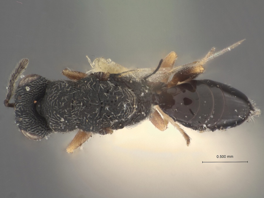
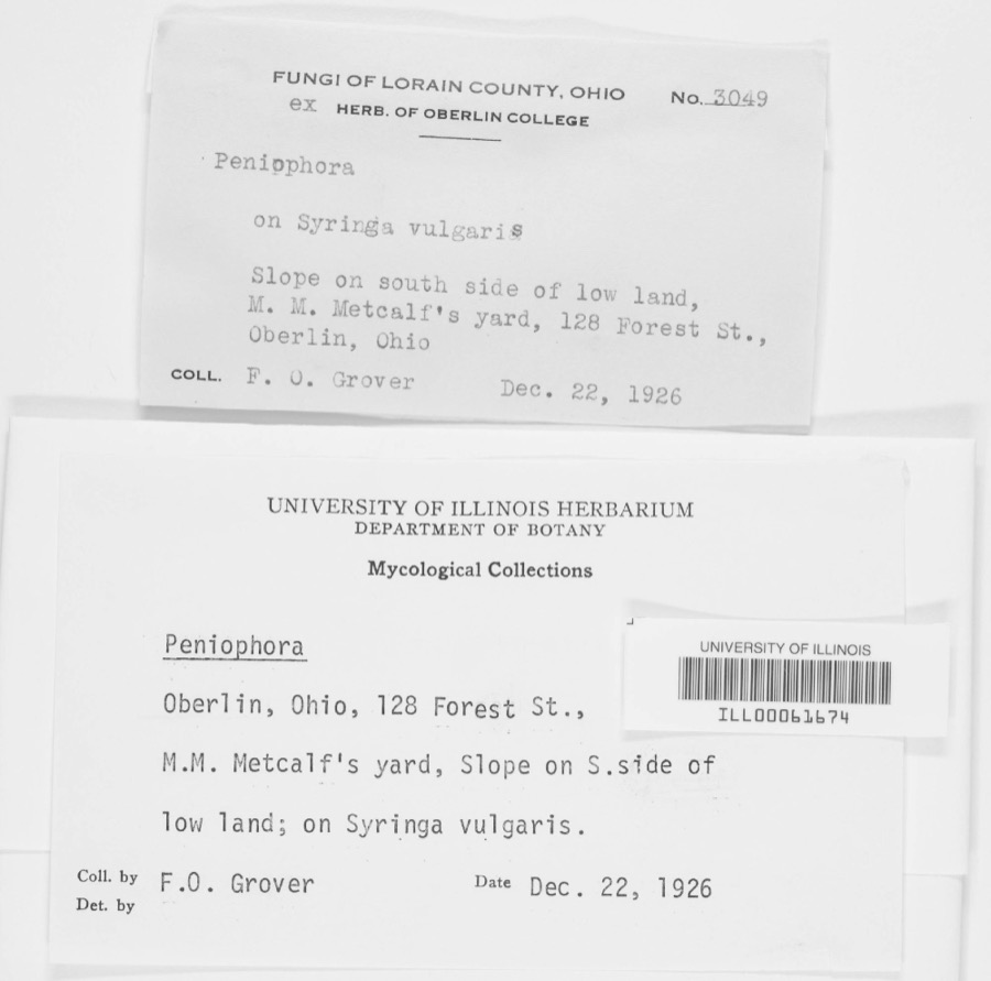
evidence. Museums hold 138 specimens
collected within 10 miles of Anderson, Judge William Shaw, House between 1883 and
1974: 118 Animalia, 15 Plantae, 5 Fungi. 12 distinct Species records are shown.
Collected by A.E. Daugherty, Armbruster, D. C. (Daniel C.), B Withers and others. Each is a
physical object with a catalogue
number, and each entry opens the museum's record. This is what was
collected and kept, not a survey of what lives here - nothing can be
concluded from a species being absent.
Regional context, not property-specific
evidence. The National Weather Service names
Austintown, the town this property stands in, in 36 storm reports between 1994 and 2024: 21 thunderstorm wind, 15 hail.
No death or injury is recorded in these reports. Each account below is quoted exactly as the forecast office
filed it, from the NOAA Storm Events Database, and each date
opens the federal record of that event.
Thunderstorms knocked down and destroyed a carport at an apartment complex in Austintown. Ten vehicles parked underneath the carport were either damaged or destroyed.
No historic map-sheet match is published
for this property yet. That does not mean no map exists. This record needs
a coordinate-quality review before it can be joined to a sheet boundary.
Browse the county's mapped places while that work is
pending.
From the nomination file
1,551 words on record
When this property was proposed for the
National Register, someone wrote the case for it: what the building is,
and why it matters. That document is a federal record in the public domain.
It is quoted below word for word, never summarised. The text was read off the scanned case file by machine, so the
occasional stray character is the recogniser's and the 1970s
typewriter's.
Description of the property
feet, making the entire building 29 by 50-1/2 feet. floor interior is now one large room. There is a large fireplace steel beams. dimensions, thus complementing it. Small portions on either side south end of the house there is a one-story enclosed porch. CONDITION UNEXPOSED DESCRIPTION UNALTERED RUINS XEXCELLENT CHECK ONE first floor, and three bedrooms and a bath on the second.At the same width as the old house and ten feet longer. It is two stories This is a house built in two sections, the older part being a stone stucco-on-masonry structure in the Classical Revival style,29 by 30-1/2 at the west end. Originally a stairway at the southwest corner led are one-and-a-half story.
The eaves, gables and sills were all The stone house, built by 1830,is constructed of coursed sand- on the east side with a Classical Revival doorway.The interior eaves have a small unornamented cornice and frieze.The main XORIGINAL SITE house 20 by 29 feet in the late Federal vernacular.The addition isa wing was added.Original floors were of two-inch oak planks on large a stoop with a curved pediment and roof. It was added at the time has a dining room, pantry, kitchen and a west sun porch on the to the two second floor bedrooms.This was removed when the new The.larger addition was constructed around l9l8.
It is the high ina section paralleling the old wing and having the same of the new wing and replaced a former porch across the front.The hewn beams.In 1944 these were replaced with new floors and - GOOD DATE XALTERED designed to match the older ones.There is a principal entrance thickness.The north facade has three bays.The center entrance has long.There is a cellar, and the walls vary from 24 to 18 inches in AREAS OF
Statement of significance
William, Strock. He was the son of Joseph Strock, who had come He used the old house first as his summer home, and then after 1600-1699 1700-1799 ARCHEOLOGY-HISTORIC EDUCATION INVENTION PERIOD ART building traditions. AGRICULTURE PHILOSOPHY EXPLORATION/SETTLEMENT INDUSTRY RELIGION THEATER SIGNIFICANCE BUILDER/ARCHITECT MILITARY SCIENCE ARCHEOLOGY-PREHISTORIC _TRANSPORTATION SCULPTURE XARCHITECTURE MUSIC LITERATURE _COMMUNICATIONS _POLITICS/GOVERNMENT to America from Germany and served in the Revolutionary War. with him.William Shaw Anderson grew up on his father's farm, Sanitary District and is used as the residence of the chief engineer.
_CONSERVATION attended schools at Canfield, Poland and Jackson, and was admitted this old house was in frequent use as a station on the underground _ECONOMICS 1890,the old homestead was saved from a sheriff's sale by his Austintown Township, and an interesting combination of two stylistic difficult to find. In 1863 the house was sold to David Anderson, who had come William S. Anderson. It is best known for its associations _COMMERCE _PREHISTORIC seat was removed to Youngstowni in 1876.Anderson was elected In 1929 the house was purchased by the Mahoning Valley _SOCIAL/HUMANITARIAN railway, but as in most of these cases, documentary evidence is -1500-1599 In 1815 Joseph settled in Austintown.William acquired the property in 1925. to the bar in 1869.
He began practice at Canfield until the county he built. - 1400-1499 from Ireland in 1832 and settled in Ohio in 1839. After his death in X1900- as judge of the Common Pleas Court in 1912 and again in 1918.
Quoted from the National Register nomination
for reference 76001479, 10 pages, held by the National Archives in Record
Group 79. See the
catalogue record.
Listed places nearby
6 within 8 miles
Other National Register properties close
enough to walk or drive between, ordered by distance from this one. Both
positions come from the same geocoding pass that matched these properties
to their map sheets.
Listing record. National Park Service National Register of Historic Places, listed-properties dataset, current to 2026-05-22.
Map join. Address geocoded through the United States Census geocoder, then tested against the published boundary of every sheet in the USGS Historical Topographic Map Collection.
How this page is made. Listing fields come from federal records; map-sheet coverage is a labelled coordinate-to-boundary calculation, not a source-field claim.
Specimens. Global Biodiversity Information Facility (GBIF), https://www.gbif.org/. Only records licensed CC0 or CC BY are used. Records licensed CC BY-NC are excluded because this site carries advertising. Images are checked individually and any whose licence is non-commercial, no-derivatives or unreadable is refused.
Storms. NOAA National Centers for Environmental Information, Storm Events Database https://www.ncei.noaa.gov/stormevents/ A work of the United States government, no copyright under 17 U.S.C. 105. Narratives are quoted verbatim from the National Weather Service report and are not edited or summarised.
 Block
Block