Photographs from the nomination case file, National Park Service records.
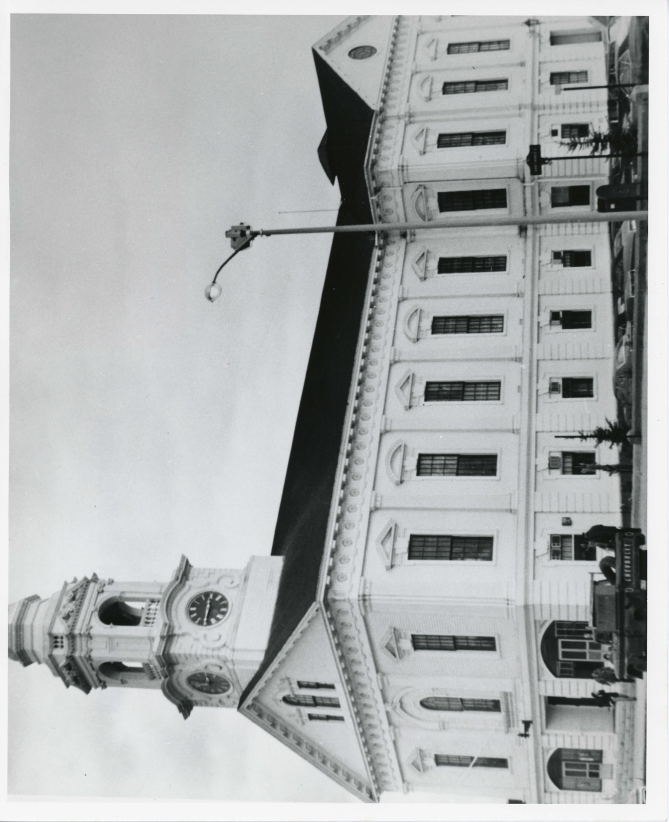
Milford Town Hall
Listed on the National Register of Historic Places in
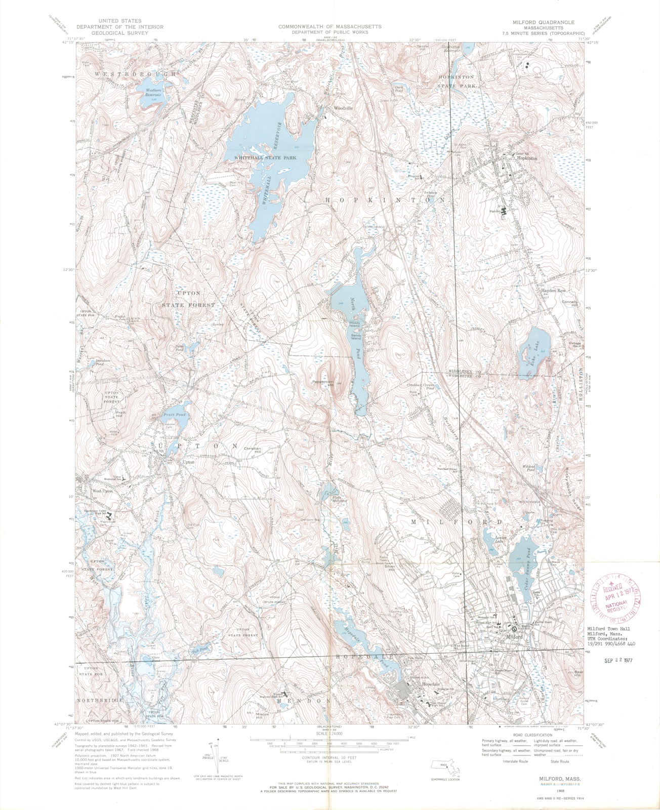
1977. A historic map-sheet match is not published yet. The record needs a coordinate-quality review before it can be joined to a sheet boundary.
From the record
one of 500 National Register listings in Worcester County · listed in 1977 · category: Building · one of 1 National Historic Landmarks in Worcester County.
National Register reference number.77000200- the number the National Park Service assigned this property when it was listed, and the key its nomination file is catalogued under at the National Archives.
Fires near this property
112 since 2003
Regional context, not property-specific
evidence. The
federal wildfire occurrence database
lists 112 fires within 5 miles of Milford Town Hall between
2003 and 2020, burning about 200 acres in total. None started naturally. 39 were recorded as arson.
Distance is straight-line from the map coordinates, so a fire counted
here may appear on a neighbouring settlement's page as well.
Reported cause
Fires
Arson/incendiarism
39
Debris and open burning
29
Missing data/not specified/undetermined
19
Recreation and ceremony
10
Smoking
7
Equipment and vehicle use
5
Railroad operations and maintenance
1
Power generation/transmission/distribution
1
Misuse of fire by a minor
1
The most recent of
them, most recent first, with the day each was reported and the service
that recorded it.
Regional context, not property-specific
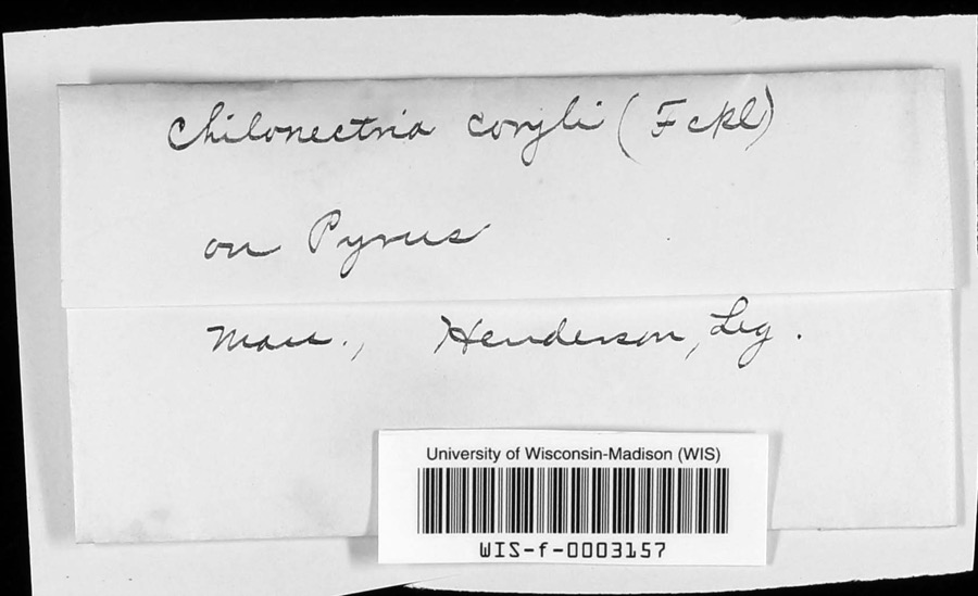
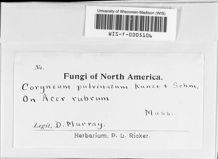
evidence. Museums hold 439 specimens
collected within 10 miles of Milford Town Hall between 1844 and
1975: 202 Plantae, 132 Animalia, 100 Fungi, 3 Unrecorded, 2 Chromista. 12 distinct Species records are shown.
Collected by A. B. Seymour, A. P. D. Piguet, A. R. Hodgdon; F. L. Steele and others. Each is a
physical object with a catalogue
number, and each entry opens the museum's record. This is what was
collected and kept, not a survey of what lives here - nothing can be
concluded from a species being absent.
Regional context, not property-specific
evidence. The federal mineral resources record lists
13 workings within 5 miles of Milford Town Hall: 10 past producers, 2 producers, 1 unknown.
2 still produce. What was taken out: Sand and Gravel, Construction, Granite. Distance is straight-line from the
map coordinates, so a quarry counted here may appear on a neighbouring
settlement's page as well.
Regional context, not property-specific
evidence. The National Weather Service names
Milford, the town this property stands in, in 20 storm reports between 1997 and 2023: 8 hail, 7 thunderstorm wind, 2 flood, 1 heavy rain.
The reports record 1 injury. Each account below is quoted exactly as the forecast office
filed it, from the NOAA Storm Events Database, and each date
opens the federal record of that event.
A 27 year old man was injured inside his home when lightning struck a tree just outside. Newspaper reports indicate that the man was standing in his doorway when lightning struck the tree about 30 feet away. The man was transported to Milford Regional Medical Center for observation.
Heavy rain associated with Tropical Storm Hanna ranged from three and a half inches to six and a half inches. This resulted in widespread street flooding. Following are a few of the reports. A one hundred foot section of Stonybrook Road in Milford was washed out. Multiple cars were stuck in flood waters under the railroad bridge on Cambridge Street in Worcester. Extensive flooding occurred on Cambridge Street with water up to ten feet at one business. A stream in Westborough extended its banks blocking off a portion of Warren Street.
No historic map-sheet match is published
for this property yet. That does not mean no map exists. This record needs
a coordinate-quality review before it can be joined to a sheet boundary.
Browse the county's mapped places while that work is
pending.
From the nomination file
1,924 words on record
When this property was proposed for the
National Register, someone wrote the case for it: what the building is,
and why it matters. That document is a federal record in the public domain.
It is quoted below word for word, never summarised. The text was read off the scanned case file by machine, so the
occasional stray character is the recogniser's and the 1970s
typewriter's.
Description of the property
The Milford Town Hall is located in the center of the business district on Main Street in downtown Milford. The building is situated on a small plot of land (7/8 of an acre) and is bounded by the sidewalk area in front, and parking lot areas on the side and rear. The landscaping within these borders is grass and shrubbery- The Renaissance Revival Town Hall was designed by Thomas W. Silloway, and was built between 1853 and 1858. It is a two story structure which sits on a brick foundation. The walls are sheathed with clapboards, now painted white. A wide molded water tajle defines the ground and main floors, and acts as a continuous link at the heads of the ground floor windows.
The building'ss wide entablature is ornamented at the frieze by alternating triglyphs and patera motifs, and by a modillioned cornice an the over- hanging eaves. Throughout the building, each bay is separated by a pilaster. These pilasters are doubled around each corner of the structure. The pilasters on the ground floor are rusticated horizontal blocks. On the main floor the pilasters are decorated by molded bases, fluting, and ornamented capitals supporting the building's flat architrave. The three bay facade faces northwest toward Main Street. In the center of the facade is the recessed entrance to the ground floor, which is flanked by two wide segmental arched bays.
Directly above the entryway, on the main floor is a round topped window with a twisted balustrade beneath, and a molded arched panel above. To either side of the central window are identical 15/15 windows framed by molded architraves, headed by a full entablature with a keystone, and crowned by a projecting triangular pediment. The gable pediment is distinguished by Palladian window with Baroque detail.
/ARCHITECT Thomas W. Silloway STATEMENT OF SIGNIFICANCE The Milford Town Hall is significant as one of the most outstanding landmarks in town not only for its rich architectural style, but also as a building which has played an integral part in the history of Milford's government. The Town Hall has served as a meeting place for all branches of local government for approximately 125 years. The Town Hall is the most prominent building in the Main Street area. Construction began in 1853, and was completed in 1858. The building replaced the old Town House formerly located at the rear of the present structure, which for eight years had been the public meeting house. The basement of the Town Hall originally housed a market.
The use of wood rather than granite makes the Town Hall's construction unique to the other town buildings. Milford's pink granite has played an important role nationally as a source of beautiful yet durable building material. All of the other main public buildings are constructed out of this granite. The exception of the Town Hall is important, as the building is a fine example of a woden Renaissance Revival style.
Quoted from the National Register nomination
for reference 77000200, 10 pages, held by the National Archives in Record
Group 79. See the
catalogue record.
Listed places nearby
6 within 8 miles
Other National Register properties close
enough to walk or drive between, ordered by distance from this one. Both
positions come from the same geocoding pass that matched these properties
to their map sheets.
Listing record. National Park Service National Register of Historic Places, listed-properties dataset, current to 2026-05-22.
Map join. Address geocoded through the United States Census geocoder, then tested against the published boundary of every sheet in the USGS Historical Topographic Map Collection.
How this page is made. Listing fields come from federal records; map-sheet coverage is a labelled coordinate-to-boundary calculation, not a source-field claim.
Wildfire. Short, Karen C. 2022. Spatial wildfire occurrence data for the United States, 1992-2020 [FPA_FOD_20221014]. 6th Edition. Fort Collins, CO: Forest Service Research Data Archive. https://doi.org/10.2737/RDS-2013-0009.6 Collected with United States Government funding and usable without additional permissions or fees.
Specimens. Global Biodiversity Information Facility (GBIF), https://www.gbif.org/. Only records licensed CC0 or CC BY are used. Records licensed CC BY-NC are excluded because this site carries advertising. Images are checked individually and any whose licence is non-commercial, no-derivatives or unreadable is refused.
Mines and quarries. USGS Mineral Resources Data System (MRDS) https://mrdata.usgs.gov/mrds/ A work of the United States government, no copyright under 17 U.S.C. 105.
Storms. NOAA National Centers for Environmental Information, Storm Events Database https://www.ncei.noaa.gov/stormevents/ A work of the United States government, no copyright under 17 U.S.C. 105. Narratives are quoted verbatim from the National Weather Service report and are not edited or summarised.
 Block
Block