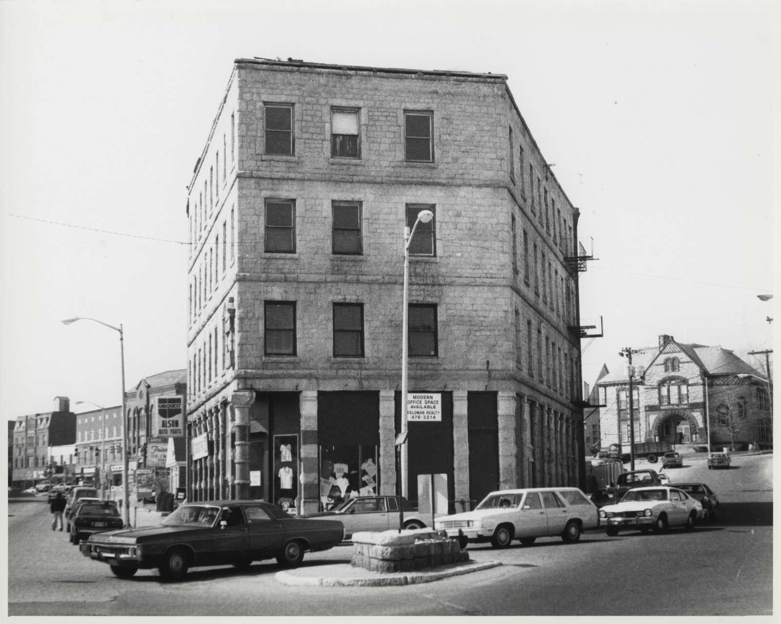
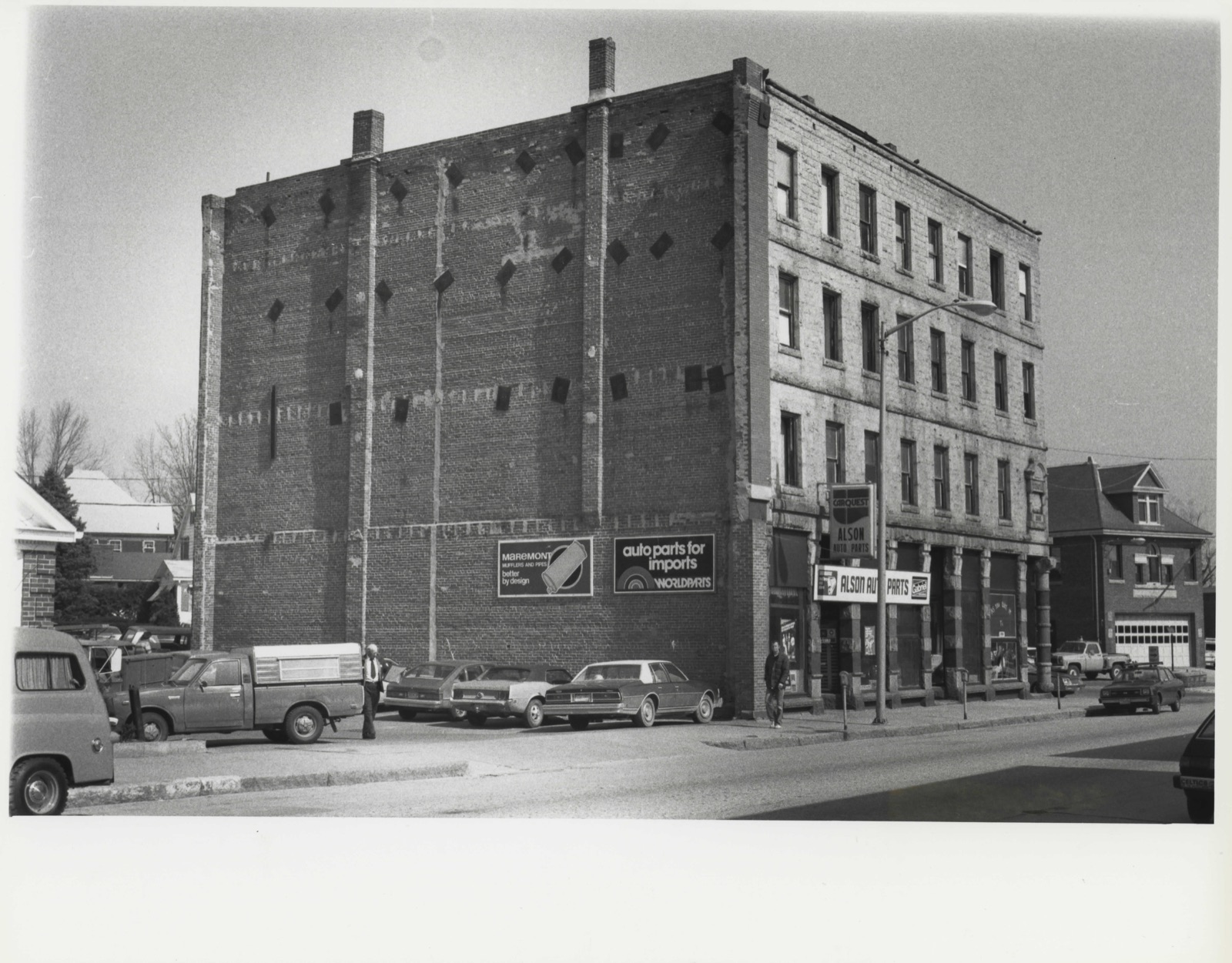
Photographs from the nomination case file, National Park Service records.
Thom Block
Listed on the National Register of Historic Places in
1983. A historic map-sheet match is not published yet. The record needs a coordinate-quality review before it can be joined to a sheet boundary.
From the record
one of 500 National Register listings in Worcester County · listed in 1983 · category: Building · one of 1 National Historic Landmarks in Worcester County.
National Register reference number.83003435- the number the National Park Service assigned this property when it was listed, and the key its nomination file is catalogued under at the National Archives.
Fires near this property
111 since 2003
Regional context, not property-specific
evidence. The
federal wildfire occurrence database
lists 111 fires within 5 miles of Thom Block between
2003 and 2020, burning about 200 acres in total. None started naturally. 39 were recorded as arson.
Distance is straight-line from the map coordinates, so a fire counted
here may appear on a neighbouring settlement's page as well.
Reported cause
Fires
Arson/incendiarism
39
Debris and open burning
29
Missing data/not specified/undetermined
19
Recreation and ceremony
10
Smoking
7
Equipment and vehicle use
4
Railroad operations and maintenance
1
Power generation/transmission/distribution
1
Misuse of fire by a minor
1
The most recent of
them, most recent first, with the day each was reported and the service
that recorded it.
Regional context, not property-specific
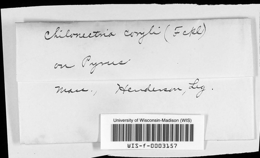
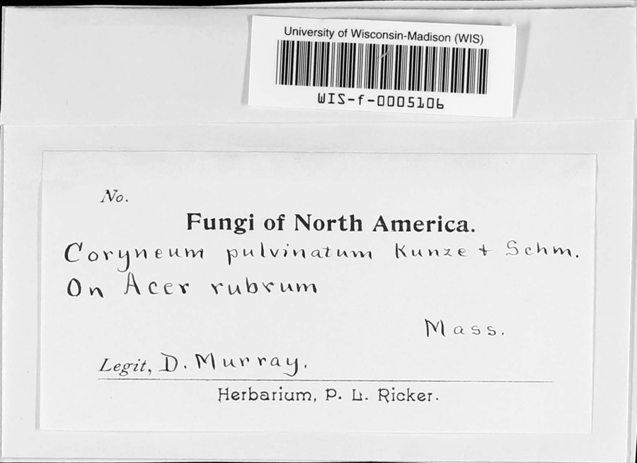
evidence. Museums hold 440 specimens
collected within 10 miles of Thom Block between 1844 and
1975: 202 Plantae, 132 Animalia, 101 Fungi, 3 Unrecorded, 2 Chromista. 12 distinct Species records are shown.
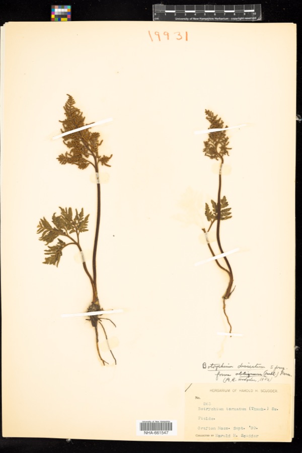
Collected by A. B. Seymour, A. P. D. Piguet, A. R. Hodgdon; F. L. Steele and others. Each is a
physical object with a catalogue
number, and each entry opens the museum's record. This is what was
collected and kept, not a survey of what lives here - nothing can be
concluded from a species being absent.
Regional context, not property-specific
evidence. The federal mineral resources record lists
13 workings within 5 miles of Thom Block: 10 past producers, 2 producers, 1 unknown.
2 still produce. What was taken out: Sand and Gravel, Construction, Granite. Distance is straight-line from the
map coordinates, so a quarry counted here may appear on a neighbouring
settlement's page as well.
Regional context, not property-specific
evidence. The National Weather Service names
Milford, the town this property stands in, in 20 storm reports between 1997 and 2023: 8 hail, 7 thunderstorm wind, 2 flood, 1 heavy rain.
The reports record 1 injury. Each account below is quoted exactly as the forecast office
filed it, from the NOAA Storm Events Database, and each date
opens the federal record of that event.
A 27 year old man was injured inside his home when lightning struck a tree just outside. Newspaper reports indicate that the man was standing in his doorway when lightning struck the tree about 30 feet away. The man was transported to Milford Regional Medical Center for observation.
Heavy rain associated with Tropical Storm Hanna ranged from three and a half inches to six and a half inches. This resulted in widespread street flooding. Following are a few of the reports. A one hundred foot section of Stonybrook Road in Milford was washed out. Multiple cars were stuck in flood waters under the railroad bridge on Cambridge Street in Worcester. Extensive flooding occurred on Cambridge Street with water up to ten feet at one business. A stream in Westborough extended its banks blocking off a portion of Warren Street.
No historic map-sheet match is published
for this property yet. That does not mean no map exists. This record needs
a coordinate-quality review before it can be joined to a sheet boundary.
Browse the county's mapped places while that work is
pending.
From the nomination file
2,378 words on record
When this property was proposed for the
National Register, someone wrote the case for it: what the building is,
and why it matters. That document is a federal record in the public domain.
It is quoted below word for word, never summarised. The text was read off the scanned case file by machine, so the
occasional stray character is the recogniser's and the 1970s
typewriter's.
Description of the property
The Thom Block, a four-story, flat roofed, granite commercial block is situated in The building covers nearly all of the 3000 square feet, trapezoidal-shaped parcel on which it stands; it fronts on Main Street on the southeast, Calley Square on the northeast, and Spruce Street on the northwest. Due to its shape, the Thom Block is commonly known as the Flat Iron Building. The street facades of the Thom Block are built of locally quarried, rock faced granite blocks. The windowless southwest wall is a red brick (24" thick at the base, 8" thick at the top), and was originally shared with an adjoining commercial block which was destroyed during the 1960s. Heavy timber framing - some members as thick as 8" x 10" - braces load-bearing walls and rests upon vertical granite slabs at basement level.
The street facades are composed of coursed and random sections of ashlar, with suggestions of quoins at the Calley Square corners. Rectangular windows with one over one sash are framed by plain granite lintels, slightly projecting sills, and jambs of alternating wide and narrow blocks. The facades are simply articulated by granite belt courses and unusually decorative storefronts. The building was at one time topped by a metal cornice, added probably in the late 1920s to prevent roof leaks and removed several years ago after serious deterioration. Below a granite frieze, the Main Street storefronts are separated by seven poly- chromatic piers which alternate blocks of polished and rock faced granite. The piers are each capped by a carved modillion block.
At the building's northeast corner, a recessed entrance is supported by a polychromatic column of polished granite cylinders separated by narrow bands of rock faced granite. A rudimentary, rough hewn capital block surmounts this column.
/Architect James Thom Statement of Significance (in one paragraph) The Thom Block retains integrity of design, materials, workmanship, location and setting. The building is significant for its associations with Milford's late 19th century industrial prosperity and as a fine example of a granite commercial block of the period; it meets criteria A and C of the National Register. Since the mid 19th century, granite quarrying has been Milford's largest and most important industry. H. H. Richardson's Boston and Albany railroad stations and his Allegheny County Courthouse are built of Milford granite, as are McKim, Mead and White's Boston Public Library and Pennsylvania Station.
Other notable structures of Milford granite include the New York City Public Library, Boston's South Station, and Washington's Executive Office Building and Museum of Natural History. Milford granite was shipped to all corners of the U. S. and as far afield as Europe. Although Milford's granite industry declined precipitously in the early 20th century, the town's late 19th century commercial blocks continue to dominate Main Street and to define its character. The Thom Block is the town's only surviving granite commer- cial block,and as such serves as a prominent visual reminder of the industry whose prosperity built much of Main Street.
Although rock faced granite ashlar is not unusual in Massachusetts, load bearing walls of randomly sized courses are notably less common, particularly among buildings of the late 19th century. In addition, the Thom Block's polychromatic piers of polished and rock faced granite are unique in the region. James Thom came to Milford around 1889. Soon after joining Milford Pink Granite Quarries as a "foreman stone-cutter," Mr. Thom was the target of a "murderous assault" by a disgruntled quarry laborer by the name of Scampini. Shortly thereafter, Thom submitted his resignation.
Quoted from the National Register nomination
for reference 83003435, 19 pages, held by the National Archives in Record
Group 79. See the
catalogue record.
Listed places nearby
6 within 8 miles
Other National Register properties close
enough to walk or drive between, ordered by distance from this one. Both
positions come from the same geocoding pass that matched these properties
to their map sheets.
Listing record. National Park Service National Register of Historic Places, listed-properties dataset, current to 2026-05-22.
Map join. Address geocoded through the United States Census geocoder, then tested against the published boundary of every sheet in the USGS Historical Topographic Map Collection.
How this page is made. Listing fields come from federal records; map-sheet coverage is a labelled coordinate-to-boundary calculation, not a source-field claim.
Wildfire. Short, Karen C. 2022. Spatial wildfire occurrence data for the United States, 1992-2020 [FPA_FOD_20221014]. 6th Edition. Fort Collins, CO: Forest Service Research Data Archive. https://doi.org/10.2737/RDS-2013-0009.6 Collected with United States Government funding and usable without additional permissions or fees.
Specimens. Global Biodiversity Information Facility (GBIF), https://www.gbif.org/. Only records licensed CC0 or CC BY are used. Records licensed CC BY-NC are excluded because this site carries advertising. Images are checked individually and any whose licence is non-commercial, no-derivatives or unreadable is refused.
Mines and quarries. USGS Mineral Resources Data System (MRDS) https://mrdata.usgs.gov/mrds/ A work of the United States government, no copyright under 17 U.S.C. 105.
Storms. NOAA National Centers for Environmental Information, Storm Events Database https://www.ncei.noaa.gov/stormevents/ A work of the United States government, no copyright under 17 U.S.C. 105. Narratives are quoted verbatim from the National Weather Service report and are not edited or summarised.
 Block
Block