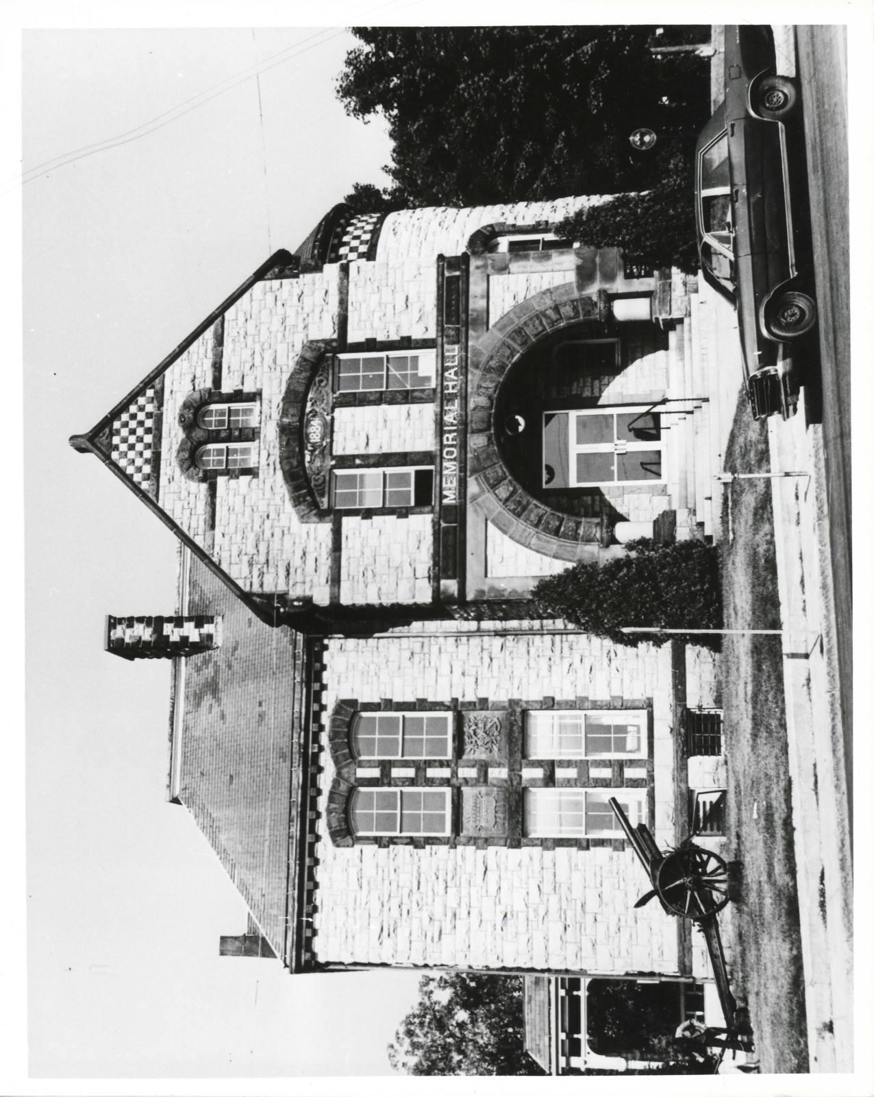
Photographs from the nomination case file, National Park Service records.
Memorial Hall
Listed on the National Register of Historic Places in
1985. A historic map-sheet match is not published yet. The record needs a coordinate-quality review before it can be joined to a sheet boundary.
From the record
one of 500 National Register listings in Worcester County · listed in 1985 · category: Building · one of 1 National Historic Landmarks in Worcester County.
National Register reference number.85000983- the number the National Park Service assigned this property when it was listed, and the key its nomination file is catalogued under at the National Archives.
Fires near this property
111 since 2003
Regional context, not property-specific
evidence. The
federal wildfire occurrence database
lists 111 fires within 5 miles of Memorial Hall between
2003 and 2020, burning about 200 acres in total. None started naturally. 39 were recorded as arson.
Distance is straight-line from the map coordinates, so a fire counted
here may appear on a neighbouring settlement's page as well.
Reported cause
Fires
Arson/incendiarism
39
Debris and open burning
29
Missing data/not specified/undetermined
18
Recreation and ceremony
10
Smoking
7
Equipment and vehicle use
5
Railroad operations and maintenance
1
Power generation/transmission/distribution
1
Misuse of fire by a minor
1
The most recent of
them, most recent first, with the day each was reported and the service
that recorded it.
Regional context, not property-specific
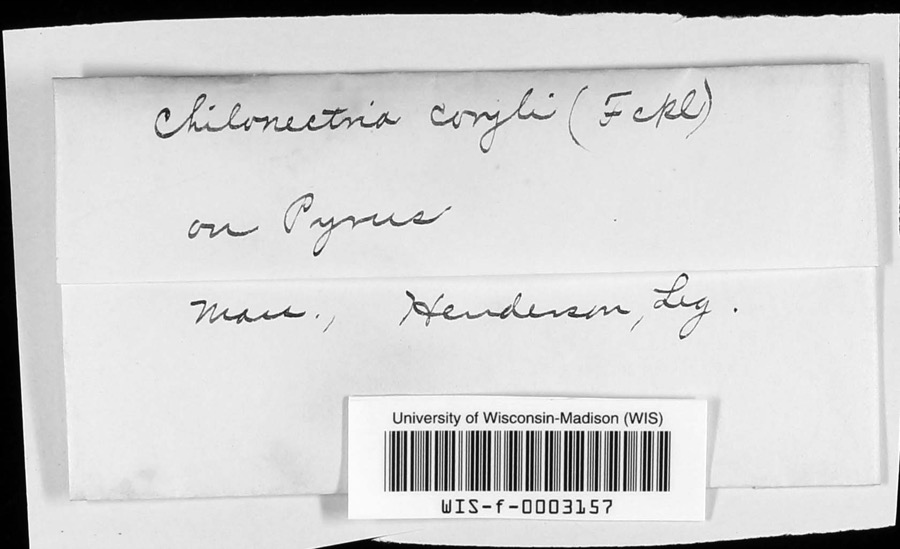
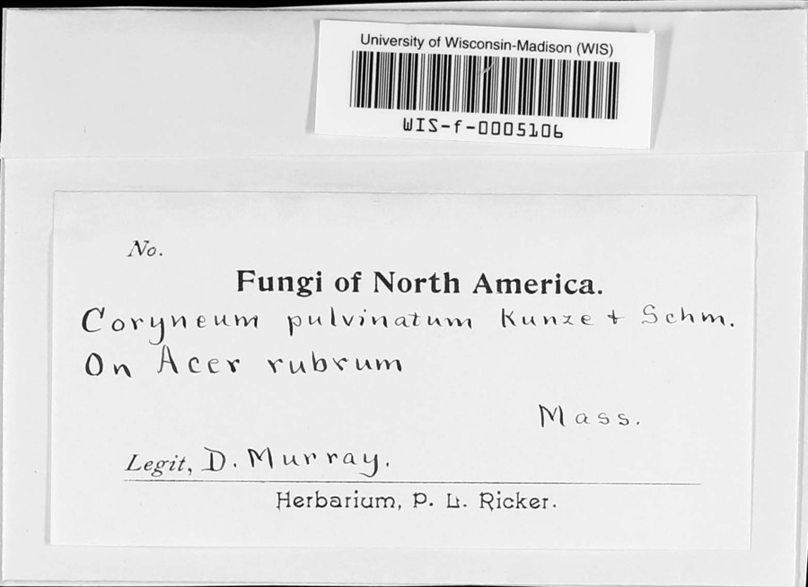
evidence. Museums hold 445 specimens
collected within 10 miles of Memorial Hall between 1844 and
1975: 205 Plantae, 133 Animalia, 102 Fungi, 3 Unrecorded, 2 Chromista. 12 distinct Species records are shown.
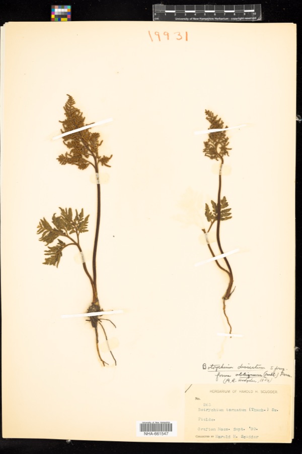
Collected by A. B. Seymour, A. P. D. Piguet, A. R. Hodgdon; F. L. Steele and others. Each is a
physical object with a catalogue
number, and each entry opens the museum's record. This is what was
collected and kept, not a survey of what lives here - nothing can be
concluded from a species being absent.
Regional context, not property-specific
evidence. The federal mineral resources record lists
13 workings within 5 miles of Memorial Hall: 10 past producers, 2 producers, 1 unknown.
2 still produce. What was taken out: Sand and Gravel, Construction, Granite. Distance is straight-line from the
map coordinates, so a quarry counted here may appear on a neighbouring
settlement's page as well.
Regional context, not property-specific
evidence. The National Weather Service names
Milford, the town this property stands in, in 20 storm reports between 1997 and 2023: 8 hail, 7 thunderstorm wind, 2 flood, 1 heavy rain.
The reports record 1 injury. Each account below is quoted exactly as the forecast office
filed it, from the NOAA Storm Events Database, and each date
opens the federal record of that event.
A 27 year old man was injured inside his home when lightning struck a tree just outside. Newspaper reports indicate that the man was standing in his doorway when lightning struck the tree about 30 feet away. The man was transported to Milford Regional Medical Center for observation.
Heavy rain associated with Tropical Storm Hanna ranged from three and a half inches to six and a half inches. This resulted in widespread street flooding. Following are a few of the reports. A one hundred foot section of Stonybrook Road in Milford was washed out. Multiple cars were stuck in flood waters under the railroad bridge on Cambridge Street in Worcester. Extensive flooding occurred on Cambridge Street with water up to ten feet at one business. A stream in Westborough extended its banks blocking off a portion of Warren Street.
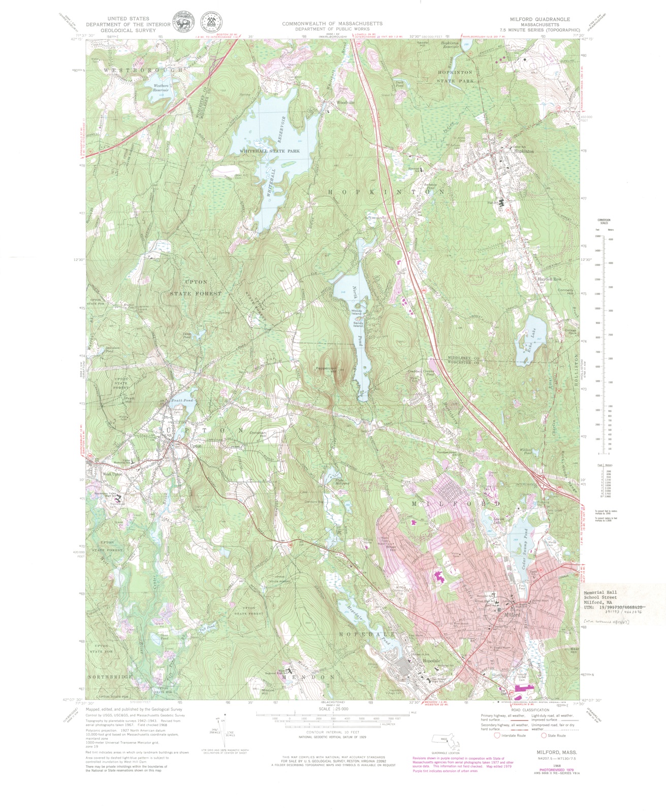
No historic map-sheet match is published
for this property yet. That does not mean no map exists. This record needs
a coordinate-quality review before it can be joined to a sheet boundary.
Browse the county's mapped places while that work is
pending.
From the nomination file
3,267 words on record
When this property was proposed for the
National Register, someone wrote the case for it: what the building is,
and why it matters. That document is a federal record in the public domain.
It is quoted below word for word, never summarised. The text was read off the scanned case file by machine, so the
occasional stray character is the recogniser's and the 1970s
typewriter's.
Description of the property
Memorial Hall, a three-story, hipped roof, granite building in the Richardsonian Romanesque style, is situated in the center of the suburban-industrial hill town of Milford, in south-central Massachusetts. The building is placed at an angle on an irregularly shaped lot. Set on a low rise, the building fronts on School Street on the east, while Spruce Street bounds the property on the north. The building is set back about thirty feet from School Street and is surrounded by a spacious 1awn planted with several trees and bushes. A low concrete retaining wall encompasses the property. Memorial Hall's grounds also include four cannon (three dating from the Civil War and one from the First World War) and a flagpole.
Typical of the eclectic Richardsonian Romanesque style, Memorial Hall is essentially rectangular in plan, but with asymmetrical projections on three sides in the form of a cross gable with entry porch (main east facade) half-round tower (north facade), and single-story porch (south facade). Rough-faced ashlar pink granite, locally quarried, is the structure's primary building material; red Longmeadow sandstone serves as the building's trim. The building rises three stories from a full granite foundation, topped by a sandstone water table. A central chimney with polychromatic detailing is located just in front of the ridge. The hipped roof is sheathed with slate and is punctuated on the south and west by gable dormers.
The main elevation of the building, with an asymmetrical two-bay facade, is dominated by the three-story projecting gable pavilion that contains the entrance and comprises the facade's right half. The entrance porch, set within the gable, is framed by a wide, low, sandstone arch resting on squat, polished-granite columns. Six steps lead from grade level beneath the arch and up to the door (a modern replacement of the original oak door).
(in one paragraph) Builder Architect Fred Swasey Memorial Hall, located in the center of Milford, was built in 1884 as a monument to Milford's Civil War veterans. The building is a fine example of 1ate-19th century buildings. Memorial Hal1 retains integrity of settiesigned Richardsonian Romanesque architecture, and is one of the town's finest design, location, materials, feeling, workmanship, and association. by a local architect, Fred Swasey, and built of a local material, pink granite, Memorial Hall fulfills Criterion C of the National Register of Historic Places. Memorial Hall is located in the center of Milford, a suburban-industrial hill town 30 miles southwest of Boston and 22 miles southeast of Worcester in Worcester County.
Incorporated in 1780, Milford remained largely agricultural into the early 19th century. By the time of the nominated property's construction (1884), the town's role as an industrial center was firmly established. Chief among its industries were boot and shoe manufacturing and granite quarrying. Built of the local stone, Memorial Hall is one of several monumental granites structures erected in the town's center during the second half of the 19th century. In 1848, a branch of the Boston & Albany Railroad, the Framingham-Milford Branch, was established throughto Milford. The, railroad brought with it major industrial and commercial expansion, and the role of agriculture in Milford's economy diminished.
Milford's greatest period of demographic and economic development came between 1830 and the close of the Civil War. The town's population increased from 1,360 in 1830 to over 9,000 in 1865, and a nearly homogeneous, native Yankee population was equalled and then outnumbered by immigrants, primarily Irish. Capital invested in manufacturing also soared during this period, rising from $100,000 to nearly $1,000,000 by war's end. Much of this investment was related to the shoe industry.
Quoted from the National Register nomination
for reference 85000983, 11 pages, held by the National Archives in Record
Group 79. See the
catalogue record.
Listed places nearby
6 within 8 miles
Other National Register properties close
enough to walk or drive between, ordered by distance from this one. Both
positions come from the same geocoding pass that matched these properties
to their map sheets.
Listing record. National Park Service National Register of Historic Places, listed-properties dataset, current to 2026-05-22.
Map join. Address geocoded through the United States Census geocoder, then tested against the published boundary of every sheet in the USGS Historical Topographic Map Collection.
How this page is made. Listing fields come from federal records; map-sheet coverage is a labelled coordinate-to-boundary calculation, not a source-field claim.
Wildfire. Short, Karen C. 2022. Spatial wildfire occurrence data for the United States, 1992-2020 [FPA_FOD_20221014]. 6th Edition. Fort Collins, CO: Forest Service Research Data Archive. https://doi.org/10.2737/RDS-2013-0009.6 Collected with United States Government funding and usable without additional permissions or fees.
Specimens. Global Biodiversity Information Facility (GBIF), https://www.gbif.org/. Only records licensed CC0 or CC BY are used. Records licensed CC BY-NC are excluded because this site carries advertising. Images are checked individually and any whose licence is non-commercial, no-derivatives or unreadable is refused.
Mines and quarries. USGS Mineral Resources Data System (MRDS) https://mrdata.usgs.gov/mrds/ A work of the United States government, no copyright under 17 U.S.C. 105.
Storms. NOAA National Centers for Environmental Information, Storm Events Database https://www.ncei.noaa.gov/stormevents/ A work of the United States government, no copyright under 17 U.S.C. 105. Narratives are quoted verbatim from the National Weather Service report and are not edited or summarised.
 Block
Block