Listed on the National Register of Historic Places in
1977. A historic map-sheet match is not published yet. The record needs a coordinate-quality review before it can be joined to a sheet boundary.
From the record
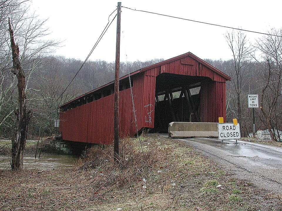
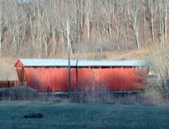
“The Kidwell Covered Bridge, in Dover Township, Athens County, Ohio between the nearby hamlets of Truetown and Redtown, was built in 1880. It was listed on the National Register of Historic Places in 1977.”
Wikipedia article Kidwell Covered Bridge, CC BY-SA 4.0.
one of 19 National Register listings in Athens County · listed in 1977 · category: Structure · one of 1 National Historic Landmarks in Athens County.
National Register reference number.77001042- the number the National Park Service assigned this property when it was listed, and the key its nomination file is catalogued under at the National Archives.
Fires near this property
76 since 1994
Regional context, not property-specific
evidence. The
federal wildfire occurrence database
lists 76 fires within 5 miles of Kidwell Covered Bridge between
1994 and 2020, burning about 106 acres in total. None started naturally. 5 were recorded as arson.
Distance is straight-line from the map coordinates, so a fire counted
here may appear on a neighbouring settlement's page as well.
Reported cause
Fires
Debris and open burning
33
Recreation and ceremony
14
Missing data/not specified/undetermined
8
Power generation/transmission/distribution
7
Equipment and vehicle use
6
Arson/incendiarism
5
Smoking
2
Fireworks
1
The most recent of
them, most recent first, with the day each was reported and the service
that recorded it.
Regional context, not property-specific
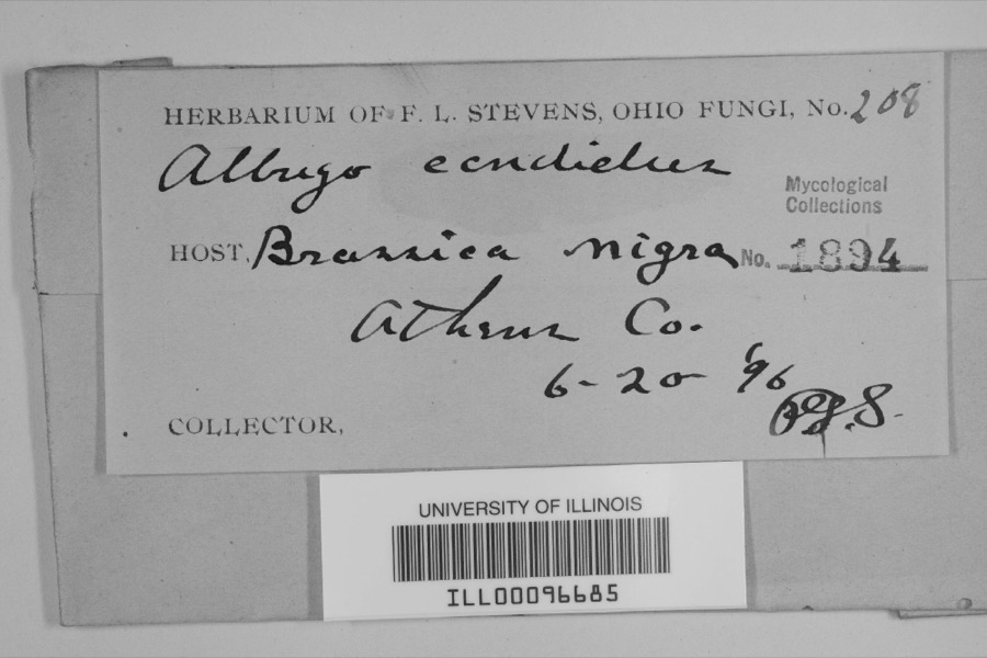
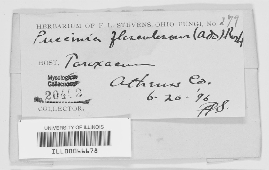
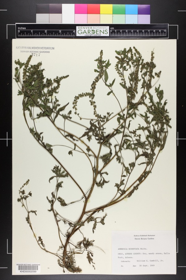
evidence. Museums hold 1,086 specimens
collected within 10 miles of Kidwell Covered Bridge between 1896 and
1975: 941 Animalia, 116 Plantae, 20 Fungi, 4 Protozoa, 3 Unrecorded, 1 Chromista, 1 Bacteria. 12 distinct Species records are shown.
Collected by A. H. Blickle, Auburn E. Brower, Barnes, R. and others. Each is a
physical object with a catalogue
number, and each entry opens the museum's record. This is what was
collected and kept, not a survey of what lives here - nothing can be
concluded from a species being absent.
No historic map-sheet match is published
for this property yet. That does not mean no map exists. This record needs
a coordinate-quality review before it can be joined to a sheet boundary.
Browse the county's mapped places while that work is
pending.
From the nomination file
1,362 words on record
When this property was proposed for the
National Register, someone wrote the case for it: what the building is,
and why it matters. That document is a federal record in the public domain.
It is quoted below word for word, never summarised. The text was read off the scanned case file by machine, so the
occasional stray character is the recogniser's and the 1970s
typewriter's.
Description of the property
vertical, high-boarded siding, a metal roof, cut-stone abutments and straight its braces and counterbraces of wood and its iron tension rods, was also a CONDITION UNEXPOSED MOVED EXCELLENT tension rods can be tightened up if necessary to straighten and strengthen XUNALTERED still sets on its original cut-stone abutments, but the present metal roof is undoubtedly a replacement for the original shingle roof. The structure under consideration is a one-span wooden truss covered bridge XORIGINAL SITE spanning Sunday Creek in Dover Township section 18 on Monsrat Road (Twp.rd. use of iron tension rods for the truss verticals instead of wood.These iron XGOOD daily traffic.It is painted a deep red on both siding and portals.It the bridges.The railroads were quick to grasp the
Statement of significance
serves daily traffic as it nears the century mark. It is a landmark of impor- 1400-1499 Historical 1880 ARCHEOLOGY-HISTORIC PERIOD SIGNIFICANCE AGRICULTURE ARCHITECTURE ECONOMICS THEATER PHILOSOPHY PREHISTORIC BUILDER/ARCHITECT 1900- POLITICS/GOVERNMENT SCIENCE _COMMUNICATIONS RELIGION MILITARY INDUSTRY INVENTION LITERATURE pioneer past. _COMMERCE XENGINEERING _EXPLORATION/SETTLEMENT MUSIC XTRANSPORTATION shortened from Montserrat, and that name came from one Nicholas Montserrat and coal mine no longer operate near the old covered bridge, heavy traffic Kidwell Covered Bridge is on Monsrat Road, which nane we feel certain is Kidwell and were still in operation in l875 as they are shown in the county CONSERVATION Weethee's academy was never very large, but was still in operation in 1883.
well Grist and Saw Mills on the west bank of Sunday Creek about one quarter of doctor,.minister and teacher, and son of one of the early pioneer families in atlas of that year.One-half mile east of the old covered bridge was the old The Kidwell Covered Bridge was built in l880 to replace an earlier bridge that -1600-1699 Another name assbciated with this vicinity and the bridge is True, an early who owned and operated the Montserrat Coal Mine near the covered bridge. _SCULPTURE some 300 acres near the bridge site in the 1870's.Although mills, college had washed out ina flood.We do not know if this earlier bridge was covered _1700-1799 -LAW tance to the people of the area, a visible reminder of and a link to their this area.The Weethee Family owned nearly 6oo acres in this vicinity.Rev.
a connecting road between SR 13 and 685.The old Kidwell Covered Bridge still still flows across it because the relocation of SR l3 has made Monsrat Road family for whom the small community of Truetowm is named.Austin True owmed Weethee College, a small academy founded in 1865 by J. P.
Quoted from the National Register nomination
for reference 77001042, 9 pages, held by the National Archives in Record
Group 79. See the
catalogue record.
Listed places nearby
6 within 8 miles
Other National Register properties close
enough to walk or drive between, ordered by distance from this one. Both
positions come from the same geocoding pass that matched these properties
to their map sheets.
Listing record. National Park Service National Register of Historic Places, listed-properties dataset, current to 2026-05-22.
Map join. Address geocoded through the United States Census geocoder, then tested against the published boundary of every sheet in the USGS Historical Topographic Map Collection.
How this page is made. Listing fields come from federal records; map-sheet coverage is a labelled coordinate-to-boundary calculation, not a source-field claim.
Wildfire. Short, Karen C. 2022. Spatial wildfire occurrence data for the United States, 1992-2020 [FPA_FOD_20221014]. 6th Edition. Fort Collins, CO: Forest Service Research Data Archive. https://doi.org/10.2737/RDS-2013-0009.6 Collected with United States Government funding and usable without additional permissions or fees.
Specimens. Global Biodiversity Information Facility (GBIF), https://www.gbif.org/. Only records licensed CC0 or CC BY are used. Records licensed CC BY-NC are excluded because this site carries advertising. Images are checked individually and any whose licence is non-commercial, no-derivatives or unreadable is refused.
 Block
Block