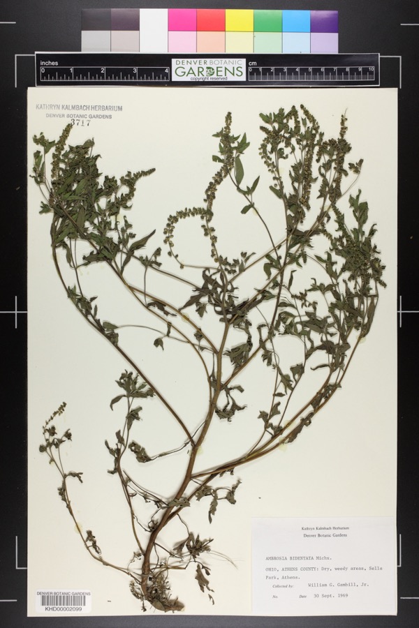
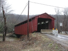
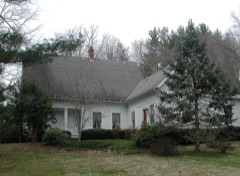
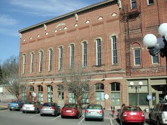
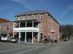
Photographs from the nomination case file, National Park Service records.
Weethee Historic District
Listed on the National Register of Historic Places in
1980. A historic map-sheet match is not published yet. The record needs a coordinate-quality review before it can be joined to a sheet boundary.
From the record
one of 19 National Register listings in Athens County · listed in 1980 · category: District · one of 1 National Historic Landmarks in Athens County.
National Register reference number.80002941- the number the National Park Service assigned this property when it was listed, and the key its nomination file is catalogued under at the National Archives.
Fires near this property
67 since 1994
Regional context, not property-specific
evidence. The
federal wildfire occurrence database
lists 67 fires within 5 miles of Weethee Historic District between
1994 and 2020, burning about 82 acres in total. None started naturally. 4 were recorded as arson.
Distance is straight-line from the map coordinates, so a fire counted
here may appear on a neighbouring settlement's page as well.
Reported cause
Fires
Debris and open burning
31
Missing data/not specified/undetermined
9
Recreation and ceremony
7
Power generation/transmission/distribution
7
Equipment and vehicle use
6
Arson/incendiarism
4
Smoking
2
Fireworks
1
The most recent of
them, most recent first, with the day each was reported and the service
that recorded it.
Regional context, not property-specific
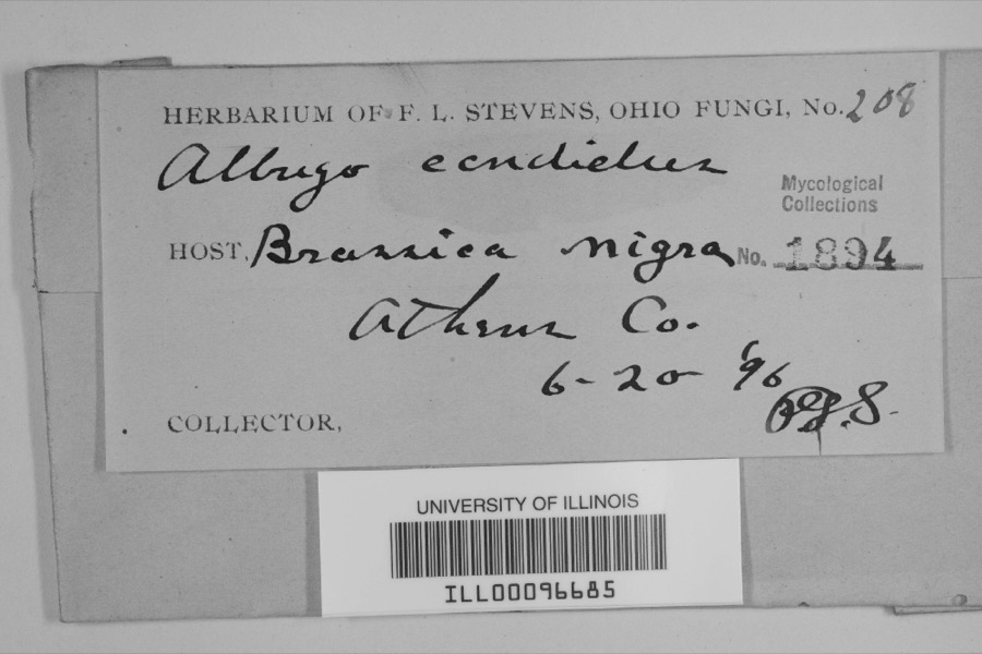
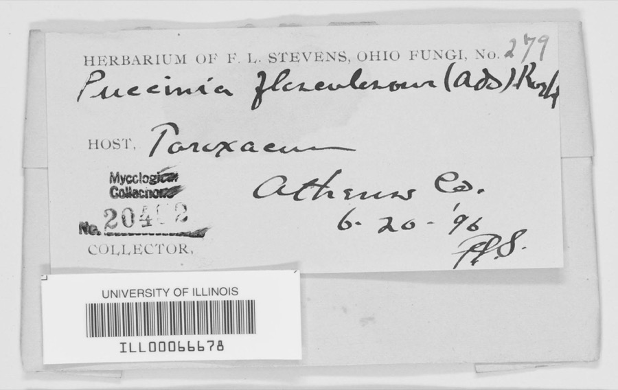
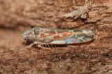
evidence. Museums hold 1,118 specimens
collected within 10 miles of Weethee Historic District between 1896 and
1975: 949 Animalia, 122 Plantae, 38 Fungi, 4 Protozoa, 3 Unrecorded, 1 Chromista, 1 Bacteria. 12 distinct Species records are shown.
Collected by A. D. Selby, A. H. Blickle, A.D. Selby and others. Each is a
physical object with a catalogue
number, and each entry opens the museum's record. This is what was
collected and kept, not a survey of what lives here - nothing can be
concluded from a species being absent.
Regional context, not property-specific
evidence. The National Weather Service names
Millfield, the town this property stands in, in 5 storm reports between 1996 and 2025: 4 thunderstorm wind, 1 hail.
No death or injury is recorded in these reports. Each account below is quoted exactly as the forecast office
filed it, from the NOAA Storm Events Database, and each date
opens the federal record of that event.
No historic map-sheet match is published
for this property yet. That does not mean no map exists. This record needs
a coordinate-quality review before it can be joined to a sheet boundary.
Browse the county's mapped places while that work is
pending.
From the nomination file
4,330 words on record
When this property was proposed for the
National Register, someone wrote the case for it: what the building is,
and why it matters. That document is a federal record in the public domain.
It is quoted below word for word, never summarised. The text was read off the scanned case file by machine, so the
occasional stray character is the recogniser's and the 1970s
typewriter's.
Description of the property
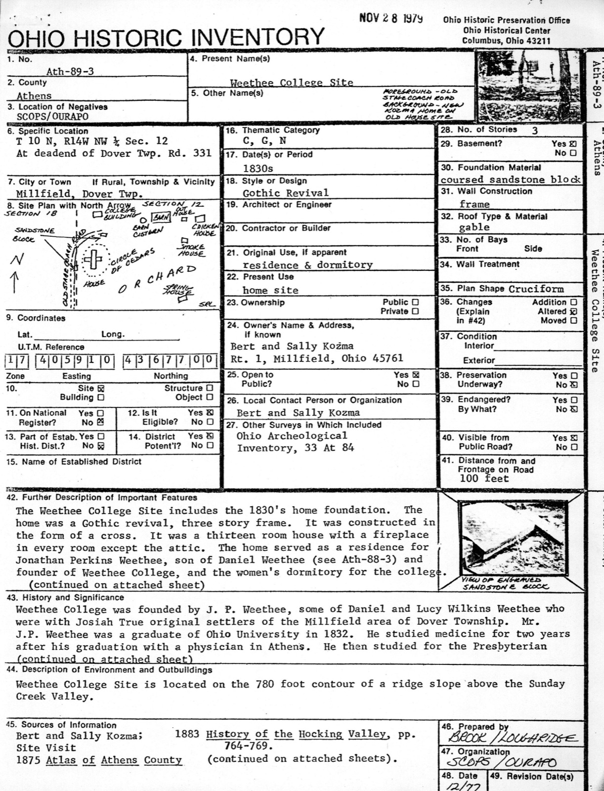
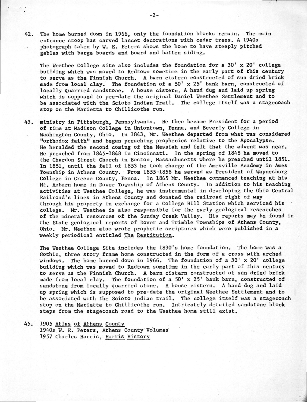
forms Ath-88-3 and Ath-89-3). The district is located in rural, Appalachian, Hill" (a ridge known as Mt. Auburn in the 1800's, at an elevation of 780 feet).* in the late 1800's and early 1900's. Millfield was the site of Ohio's largest coal Trimble, Jacksonville, Redtown, Green's Run and Morristown sprang up nearby with the CONDITION landscape, and Sunday Creek still runs red from acid mine drainage.
The natural environment is reverting to pre-agricultural bio-mass, the beech terrace (elevation 700 feet) and the Weethee College site is located on "College mine disaster in November of 1930 where 82 men were killed (Sunday Creek Coal Company The Weethee Historic District includes the c.1804 house of Daniel Weethee predominately an agricultural community until the development of the coal industry (1779-1846),a remnant of the 1800's stage coach road which ran between Chi1licothe CHECK ONE The WeetheeHistoric District isnorth of the village of Millfield, which was _UNEXPOSED - UNALTERED coal industry and were depopulated after World War II when the coal mines shut down.
Mine No.6 listed on the National Register in 1977).Many small communities such as -EXCELLENT X-FAIR - RUINS -GOOD and Marietta, and the site of Weethee College (see attached Ohio Historic Inventory southeastern Ohio in the Sunday Creek Valley. The Sunday Creek Valley is in the heart of the Hocking Valley coal fields. The district is situated above the flood DATE AREAS OF
Statement of significance
The Weetheé Historic District is significant because it represents the oldest and only remaining structure (c. 1814) and sites associated with the Weethee family in Athens The sites and structure retain their historical associations within the rural community, agriculturalists, founded Weethee College (1865-1879) and were developers of the rail Daniel Weethee (1779-1846) was born in Mason, New Hampshire, where he was employed as a cooper. After settling his father's estate, he set out for the Northwest territory, Later, after the library was divided in 1816, Weethee served as director of the Dover The youngest son of Daniel and Lucy Wilkins Weethee, Jonathan Perkins Weethee (1812- 1899) was an early graduate of Ohio University (founded in 1804) in 1832.
He studied the Cumberland Church in Uniontown, Pennsylvania. (Washington County, Ohio) 1842-1843. From 1843-1853 he preached the coming of the Apocalypse in Cincinnati, Cleveland, Boston, New York City, Philadelphia, Lancaster, Baltimore, Providence, Worcestor, Bangor (Maine), Canada, and etc. serving as pastor for Academy (Athens County, Ohio) from 1853-1855, Waynesburg College (Penna.) from 1855-1858, and founded Weethee College at Mt. Auburn, Dover Township, Athens County, Ohio in 1861 or 1865. INVENTION X700-1799 PERIOD ART ECONOMICS X800-1899 SIGNIFICANCE LAW BUILDER/ARCHITECT PREHISTORIC ENGINEERING THEATER ARCHEOLOGY-HISTORIC ARCHITECTURE INDUSTRY MILITARY SCULPTURE 1900- LITERATURE POLITICS/GOVERNMENT Wilkins, early settlers of Athens Township.
reaching Marietta in December,1798.The following spring, he and Josiah True traveled PHILOSOPHY have been by-passed by modern development, and the environment is much the same as it _RELIGION He served as President of Madison College 1834-1842.He received an honorary A.M. -1500-1599 1802,Daniel Weethee married Lucy Wilkins (1779-1833) the daughter of John and Rebecca medicine after his graduation with A.V. Medbury, M.D. an Athens physician and Ohio by Dr.Manasseh Cutler of Ohio University and purchased with pelts in Boston).
Quoted from the National Register nomination
for reference 80002941, 26 pages, held by the National Archives in Record
Group 79. See the
catalogue record.
Listed places nearby
6 within 8 miles
Other National Register properties close
enough to walk or drive between, ordered by distance from this one. Both
positions come from the same geocoding pass that matched these properties
to their map sheets.
Listing record. National Park Service National Register of Historic Places, listed-properties dataset, current to 2026-05-22.
Map join. Address geocoded through the United States Census geocoder, then tested against the published boundary of every sheet in the USGS Historical Topographic Map Collection.
How this page is made. Listing fields come from federal records; map-sheet coverage is a labelled coordinate-to-boundary calculation, not a source-field claim.
Wildfire. Short, Karen C. 2022. Spatial wildfire occurrence data for the United States, 1992-2020 [FPA_FOD_20221014]. 6th Edition. Fort Collins, CO: Forest Service Research Data Archive. https://doi.org/10.2737/RDS-2013-0009.6 Collected with United States Government funding and usable without additional permissions or fees.
Specimens. Global Biodiversity Information Facility (GBIF), https://www.gbif.org/. Only records licensed CC0 or CC BY are used. Records licensed CC BY-NC are excluded because this site carries advertising. Images are checked individually and any whose licence is non-commercial, no-derivatives or unreadable is refused.
Storms. NOAA National Centers for Environmental Information, Storm Events Database https://www.ncei.noaa.gov/stormevents/ A work of the United States government, no copyright under 17 U.S.C. 105. Narratives are quoted verbatim from the National Weather Service report and are not edited or summarised.
 Block
Block