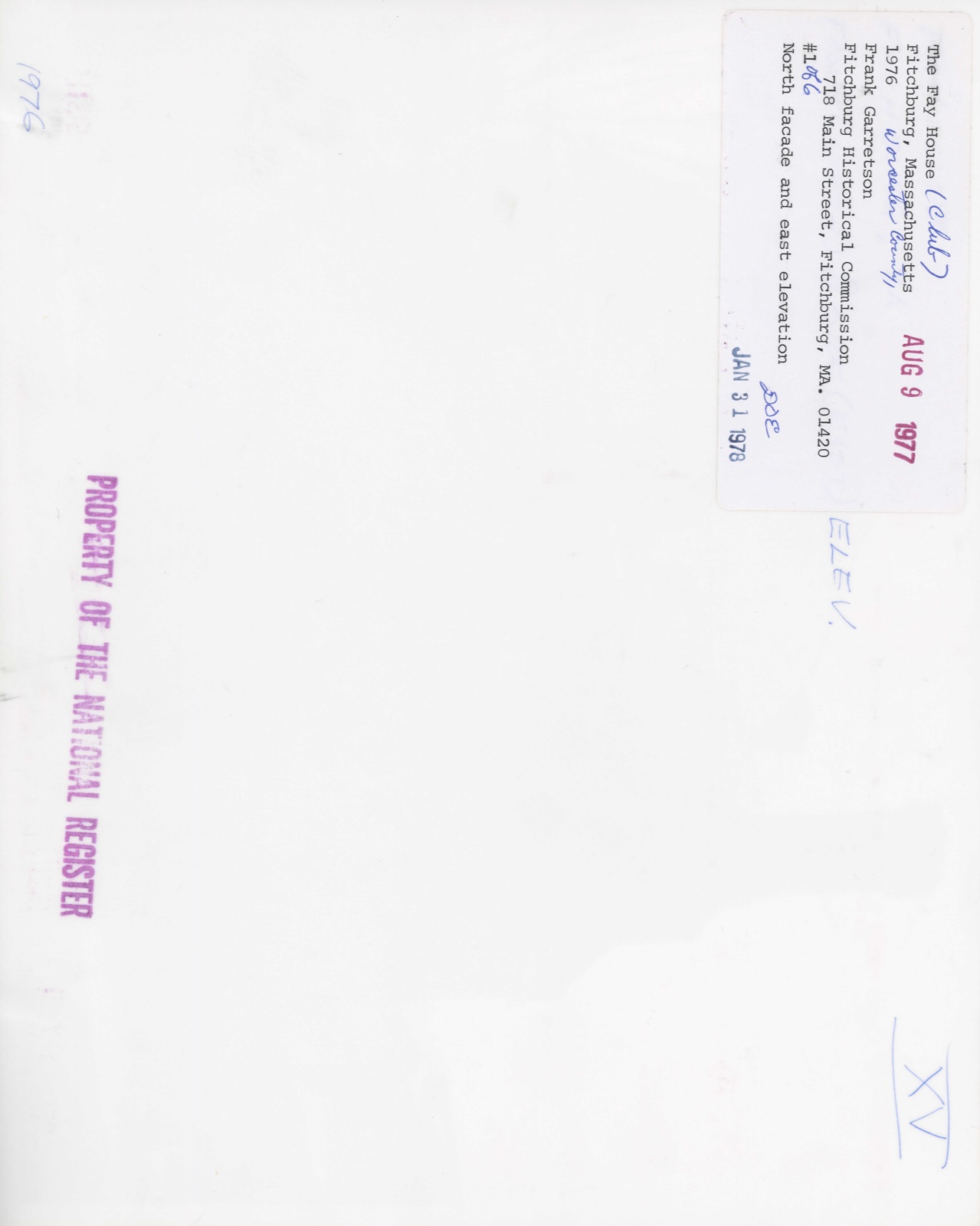
Photographs from the nomination case file, National Park Service records.
Fay Club
Listed on the National Register of Historic Places in
1978. A historic map-sheet match is not published yet. The record needs a coordinate-quality review before it can be joined to a sheet boundary.
From the record
“The writer feels that this article would be incomplete, and subject to just criticism should no mention be made of some of those good men who have passed on, to whose integrity and farsightedness is due, to such a large extent, the honorable place occupied by our banks in the financial world today. Within a decade there have been many changes among the officials of the banks.”
Fitchburg : a Quality City : a Manufacturing and Mercantile Review (1912). Machine-read text.
one of 500 National Register listings in Worcester County · listed in 1978 · category: Building · one of 1 National Historic Landmarks in Worcester County.
National Register reference number.78000470- the number the National Park Service assigned this property when it was listed, and the key its nomination file is catalogued under at the National Archives.
In this respect an old saw comes to mind, "the exception proves the rule;" for whatever may be the state of affairs in some municipalities, it is certain that since the Tenney interests took control of the Fitchburg Gas Electric Light Co. no community has received better service or been afforded accommodations superior to what Fitchburg is receiving.
The original gas company in Fitchburg was formed in 1853, and electricity was introduced in 1890. The Tenney interests, controlling gas or electric companies in sixteen cities, came into possession in 1909, and the officers are C. H. Tenney, Springfield, president; A. B. Tenney, first vice-president; D. E. Manson, second vice-president; Palmer York, treasurer; H. T. Sands, general manager; and Clifton R. Hayes, local manager.
Regional context, not property-specific
evidence. The
federal wildfire occurrence database
lists 166 fires within 5 miles of Fay Club between
2015 and 2020, burning about 109 acres in total. 1 started naturally. 1 was recorded as arson.
Distance is straight-line from the map coordinates, so a fire counted
here may appear on a neighbouring settlement's page as well.
Reported cause
Fires
Debris and open burning
70
Missing data/not specified/undetermined
60
Smoking
23
Recreation and ceremony
5
Power generation/transmission/distribution
3
Fireworks
3
Arson/incendiarism
1
Natural
1
The most recent of
them, most recent first, with the day each was reported and the service
that recorded it.
Regional context, not property-specific
evidence. Museums hold 718 specimens
collected within 10 miles of Fay Club between 1870 and
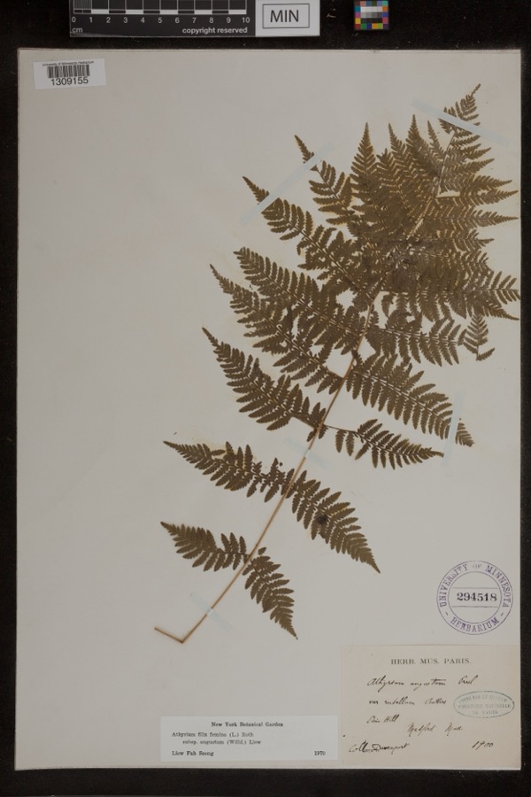
1974: 297 Animalia, 248 Plantae, 156 Fungi, 8 Unrecorded, 6 Chromista, 3 Protozoa. 12 distinct Species records are shown.
Collected by A. B. Seymour, A. Ferrett, A. H. Allen and others. Each is a
physical object with a catalogue
number, and each entry opens the museum's record. This is what was
collected and kept, not a survey of what lives here - nothing can be
concluded from a species being absent.
Regional context, not property-specific
evidence. The federal mineral resources record lists
6 workings within 5 miles of Fay Club: 4 past producers, 1 producer, 1 occurrence.
1 still produces. What was taken out: Sand and Gravel, Construction, Tin, Lithium, Geothermal. Distance is straight-line from the
map coordinates, so a quarry counted here may appear on a neighbouring
settlement's page as well.
Regional context, not property-specific
evidence. The National Weather Service names
Fitchburg, the town this property stands in, in 26 storm reports between 1995 and 2024: 16 thunderstorm wind, 5 flash flood, 2 hail, 2 flood.
No death or injury is recorded in these reports. Each account below is quoted exactly as the forecast office
filed it, from the NOAA Storm Events Database, and each date
opens the federal record of that event.
Major flooding occurred along the North Nashua River in Fitchburg. A crest of 8.6 feet was recorded at 530 am on the 16th (flood stage is 6.5 feet). This may have surpassed the previous record high crest which occurred in April, 2007. Widespread flooding was reported along the river in Fitcburg, where several roads were impassable. Minor flooding occurred along the Blackstone River in Northbridge, where the river crested at 10.3 feet at 315 pm on the 16th (flood stage is 9 feet).
Three to five inches of rain fell within the matter of a few hours during the evening of October 21 which resulted in prolific urban flash flooding in Worcester and surrounding areas. ||In Worcester, flash flooding made roads impassable and there were many reports of cars stuck in floodwaters and people needing rescue. Roads flooded included Cambridge, Chandler, Bancroft, Park, Harding, Hammond, Highland, Summer, Lincoln, Green, Grove, Bridge, Irving and Ellsworth Streets, as well as Goldthwaite Road, Pleasant Terrace, Major Taylor Boulevard, Shore Drive, and Park Avenue. One portion of Cambridge Street near Kansas Street was reported to be flooded with water 7 feet deep! MLK Boulevard flooded up to an underpass bridge in a low lying area. Several other streets were reported to have floodwaters over 4 feet deep, including Country Club Boulevard. Over 20 cars were reported stuck in floodwaters at the intersection of Highland Street and Park Avenue. Plantation Street from Oakhurst Street to I-290 was flooded with water up to 4 feet deep. Significant flooding was also reported on 122A as well as I-290, with floodwaters up to SUV tire height reported. Several vehicles were stuck in floodwaters on I-290.||In Fitchburg, flash flooding closed a section of the John Fitchburg Highway and a car was stuck in flood waters on Shelley Avenue. In Leominster, flash flooding closed the intersection of Washington Street and Grove Avenue as well as McKay Street entering the hospital. In Lancaster, Main Street was flooded and impassable while in Shrewsbury, Route 9 at Oak Street was flooded up to the tops of car tires.||No injuries were reported due to the flash flooding.||Due to the ongoing drought conditions, stream and river flows were well below average and the excessive amount of rainfall did not produce flooding.
Multiple trees in Fitchburg and Leominster were downed by thunderstorm winds. Ringer and Prospect Streets in Leominster were blocked by fallen trees and one tree fell on a car in Fitchburg.
A peak wind gust to 62 mph was recorded by the automated weather station at Fitchburg during a severe thunderstorm. Quite a few power lines were reported down throughout the city of Fitchburg, but power outages were brief.
No historic map-sheet match is published
for this property yet. That does not mean no map exists. This record needs
a coordinate-quality review before it can be joined to a sheet boundary.
Browse the county's mapped places while that work is
pending.
From the nomination file
2,174 words on record
When this property was proposed for the
National Register, someone wrote the case for it: what the building is,
and why it matters. That document is a federal record in the public domain.
It is quoted below word for word, never summarised. The text was read off the scanned case file by machine, so the
occasional stray character is the recogniser's and the 1970s
typewriter's.
Description of the property
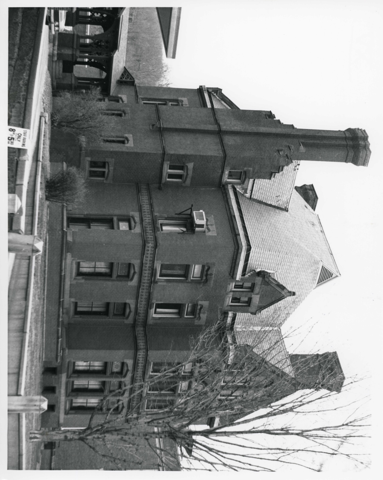
The Fay House is located on approximately 2/3 of an acre on Main Street in downtown Fitchburg. Main Street was once lined with fine residences, but the Fay Club is one of the few single family structures remaining. The area around the house is primarily early 20th century commercial. The house adjoins the Monument Park Historic District (local historic district, National Register nomination). The Fay House grounds are landscaped with shrubbery and some tall shade trees. A driveway and parking area follows the east elevation of the building to the facade of the carriage house located to the rear. The impressive High Victorian Gothic building was designed by Richard Upjohn and constructed in 1883 for the local railroad magnate George F. Fay.
The 2½ story, irregularly massed house is built of brick with sandstone trim. The steeply pitched slate roof has four tall chimneys, each with a corbelled cap. The compound chimney on the east elevation rises from a stepped gable. Fenestration is varied. Many win- dows are stained glass. Some of the sandstone window lintels are Tudor arched; others are delicately swirled arches with a cross at the crown. The partially exposed founda- tion has a sandstone water table at the first floor level. A projecting sandstone stringcourse divides the first and second stories. It is ornamented with two rows of small circular tiles on the north facade. Intricate finials crown many of the dormer and gable parapets. The facade faces north toward Main Street.
The eastern end has two windows on both stories and a dormer with a parapet gable in the roof. The western end of the facade is a projecting bay with triple windows on both stories. The second story windows are headed by an ornamented triple arcade.
/ARCHITECT Richard Upjohn The Fay House is significant for its architecture, owner and as the most imposing residential structure in Fitchburg. It is an excellent example of High Victorian Gothic architecture and was designed by the nationally prominent architect, Richard M. Upjohn, for George F. Fay. Fay was a leading citizen of Fitchburg. George Fay was appointed telegraph operator at the Fitchburg Depot in 1852. He later became a member of the firm of Crocker Burbank and Co., and through investments in Massachusetts railroads amassed a fortune. He built the elegant home on Main Street in 1883 on the site of a previous residence. In 1894, Fay and others helped establish the Burbank Hospital. When Fay died in 1895, his daughter Lucy inherited the $100,000 home and several million dollars.
At the age of 45, Lucy married Claude Griffith and moved to California. She gave her home to the Park Club of which George Fay had been a charter member. The sole condition of the donation was that the name be changed to the Fay Club. The club still uses the home.
Quoted from the National Register nomination
for reference 78000470, 17 pages, held by the National Archives in Record
Group 79. See the
catalogue record.
Listed places nearby
6 within 8 miles
Other National Register properties close
enough to walk or drive between, ordered by distance from this one. Both
positions come from the same geocoding pass that matched these properties
to their map sheets.
Listing record. National Park Service National Register of Historic Places, listed-properties dataset, current to 2026-05-22.
Map join. Address geocoded through the United States Census geocoder, then tested against the published boundary of every sheet in the USGS Historical Topographic Map Collection.
How this page is made. Listing fields come from federal records; map-sheet coverage is a labelled coordinate-to-boundary calculation, not a source-field claim.
Wildfire. Short, Karen C. 2022. Spatial wildfire occurrence data for the United States, 1992-2020 [FPA_FOD_20221014]. 6th Edition. Fort Collins, CO: Forest Service Research Data Archive. https://doi.org/10.2737/RDS-2013-0009.6 Collected with United States Government funding and usable without additional permissions or fees.
Specimens. Global Biodiversity Information Facility (GBIF), https://www.gbif.org/. Only records licensed CC0 or CC BY are used. Records licensed CC BY-NC are excluded because this site carries advertising. Images are checked individually and any whose licence is non-commercial, no-derivatives or unreadable is refused.
Mines and quarries. USGS Mineral Resources Data System (MRDS) https://mrdata.usgs.gov/mrds/ A work of the United States government, no copyright under 17 U.S.C. 105.
Storms. NOAA National Centers for Environmental Information, Storm Events Database https://www.ncei.noaa.gov/stormevents/ A work of the United States government, no copyright under 17 U.S.C. 105. Narratives are quoted verbatim from the National Weather Service report and are not edited or summarised.
 Block
Block