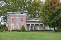
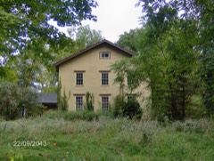
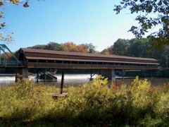
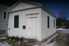
Listed on the National Register of Historic Places in
1978. A historic map-sheet match is not published yet. The record needs a coordinate-quality review before it can be joined to a sheet boundary.
From the record
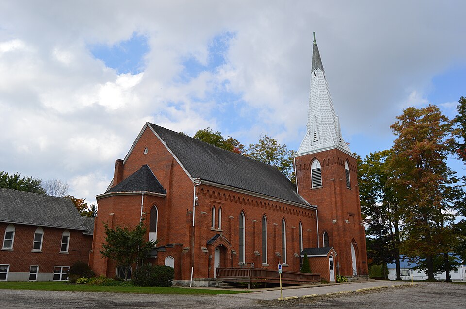
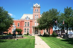
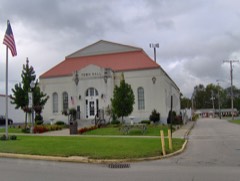
“Congregational Church Of Austinburg is a historic congregational church on OH 307 in Austinburg, Ohio.”
Wikipedia article Congregational Church Of Austinburg, CC BY-SA 4.0.
one of 36 National Register listings in Ashtabula County · listed in 1978 · category: Building · one of 1 National Historic Landmarks in Ashtabula County.
National Register reference number.78002001- the number the National Park Service assigned this property when it was listed, and the key its nomination file is catalogued under at the National Archives.
Specimens collected near this property
12 of 1,339 shown
Regional context, not property-specific
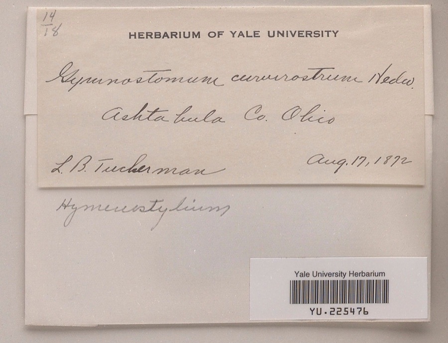
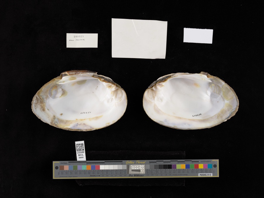
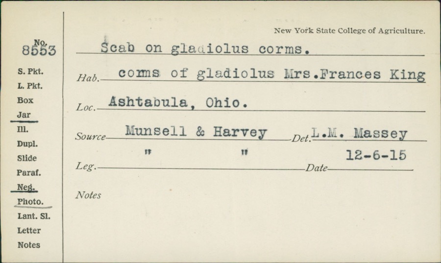
evidence. Museums hold 1,339 specimens
collected within 10 miles of Congregational Church Of Austinburg between 1872 and
1975: 1,169 Animalia, 145 Plantae, 23 Fungi, 1 Unrecorded, 1 Chromista. 12 distinct Species records are shown.
Collected by A. A. Bill, A. B. Fuller, A. Burhanna and others. Each is a
physical object with a catalogue
number, and each entry opens the museum's record. This is what was
collected and kept, not a survey of what lives here - nothing can be
concluded from a species being absent.
Regional context, not property-specific
evidence. The National Weather Service names
Austinburg, the town this property stands in, in 11 storm reports between 1996 and 2018: 5 hail, 4 thunderstorm wind, 2 flash flood.
No death or injury is recorded in these reports. Each account below is quoted exactly as the forecast office
filed it, from the NOAA Storm Events Database, and each date
opens the federal record of that event.
Heavy rainfall of 2 to 4 inches fell in an east-west line across Ashtabula County just north of Jefferson. Several flooded basements were reported due to high creek flows, and multiple roads in the area were closed due to high water, including State Route 306 northwest of Jefferson.
No historic map-sheet match is published
for this property yet. That does not mean no map exists. This record needs
a coordinate-quality review before it can be joined to a sheet boundary.
Browse the county's mapped places while that work is
pending.
Named in the fire insurance atlases
Sanborn surveyors printed an index of the
town's establishments at the front of each atlas. This property is named in
one, read straight off the scanned sheet.
When this property was proposed for the
National Register, someone wrote the case for it: what the building is,
and why it matters. That document is a federal record in the public domain.
It is quoted below word for word, never summarised. The text was read off the scanned case file by machine, so the
occasional stray character is the recogniser's and the 1970s
typewriter's.
Description of the property
pointed arches follows the eaves line, the facade gable, and CONDITION UNEXPOSED DETERIORATED DESCRIPTION RUINS UNALTERED FAIR affect the integrity of the main structure. virtually unaltered. The original tracker-action organ has been projects from the back of the church. consists of three lancets and a large roundel. This is a brick church building in the Gothic revival style. The basic structure of the building is unaltered.Minor alterations include a chimney added to the east side of the A church annex was added in 1932 to the southwest of the of open tracery. The body of the church has five bays articulated with engaged buttresses and lancet windows.A corbel table with CHECK ONE X ALTERED corner, with a broach spire.
A smaller buttressed tower at the DATE northwest corner has a pyramidal roof with an octagonal lantern The facade window contain the original Victorian art glass. building. It is connected by an unobtrusive link and does not There is a large square buttressed entrance tower at the northeast the tops of the towers.An apse-like choir without windows restored and remains in the original position.The original pews in AREAS OF
Statement of significance
Western Reserve of Ohio. after the church in Norfolk, Connecticut, was built in 1824. In 1874 American artist Wallace Nutting, he designed the present church family memorials, were designed by Betsy Cowles, a nationally-known War Gothic architecture and allied arts, its associations in the 1877 1500-1599 PERIOD ARCHEOLOGY-HISTORIC SIGNIFICANCE PHILOSOPHY region. TRANSPORTATION RELIGION ARCHEOLOGY-PREHISTORIC MILITARY AGRICULTURE CONSERVATION EDUCATION LITERATURE _ENGINEERING well-preserved example of the mid-nineteenth century Gothic revival The Congregational Church is a significant structure in the The First Congregational Church of Austinburg is an excellent and _EXPLORATION/SETTLEMENT important early educational institution located in Austinburg.
_COMMERCE community, and its place in the history of the Western Reserve _COMMUNICATIONS SCIENCE October of 180l the Congregational Church was organized.The first erected in 1877.The building was dedicated on September 27,1877, donated by teachers and students of the Grand River Academy, an style.It is the third building of the oldest church in the Connecticut _ECONOMICS The first permanent settlers arrived in Austinburg in l8oo.In log structure was erected in 18l0,and a frame building patterned the Rev.John K. Nutting became the pastor. A cousin of the noted _1700-1799 -1600-1699 - INVENTION -1400-1499 INDUSTRY _THEATER having cost $17,000.The stained glass windows,)many of them _1900- educator, abolitionist, and suffragist.
The large facade window was LAW community of Austinburg because of its characteristic post-Civil
Quoted from the National Register nomination
for reference 78002001, 12 pages, held by the National Archives in Record
Group 79. See the
catalogue record.
Listed places nearby
6 within 8 miles
Other National Register properties close
enough to walk or drive between, ordered by distance from this one. Both
positions come from the same geocoding pass that matched these properties
to their map sheets.
Listing record. National Park Service National Register of Historic Places, listed-properties dataset, current to 2026-05-22.
Map join. Address geocoded through the United States Census geocoder, then tested against the published boundary of every sheet in the USGS Historical Topographic Map Collection.
How this page is made. Listing fields come from federal records; map-sheet coverage is a labelled coordinate-to-boundary calculation, not a source-field claim.
Specimens. Global Biodiversity Information Facility (GBIF), https://www.gbif.org/. Only records licensed CC0 or CC BY are used. Records licensed CC BY-NC are excluded because this site carries advertising. Images are checked individually and any whose licence is non-commercial, no-derivatives or unreadable is refused.
Storms. NOAA National Centers for Environmental Information, Storm Events Database https://www.ncei.noaa.gov/stormevents/ A work of the United States government, no copyright under 17 U.S.C. 105. Narratives are quoted verbatim from the National Weather Service report and are not edited or summarised.
 Block
Block