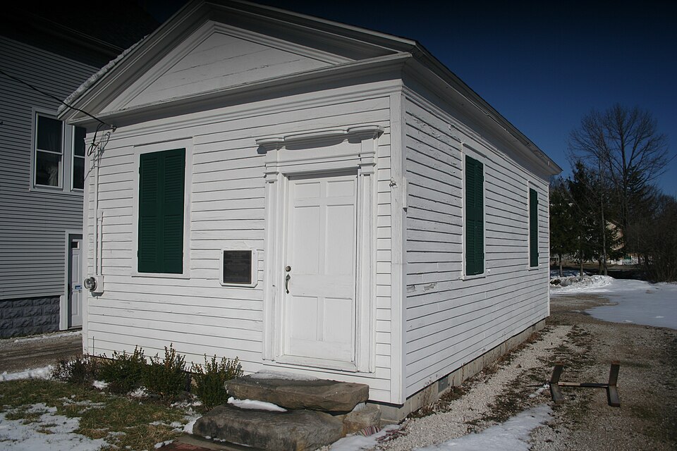
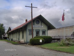
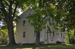
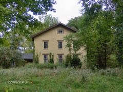
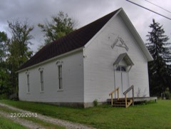
A National Historic Landmark. Listed on the National Register of Historic Places in
1974. A historic map-sheet match is not published yet. The record needs a coordinate-quality review before it can be joined to a sheet boundary.
From the record
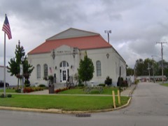
“The Joshua Reed Giddings Law Office is a historic commercial building at 102 East Jefferson Street in Jefferson, Ohio. Built in 1823, it was the law office of Joshua Reed Giddings (1795-1864), a prominent abolitionist who served as a U.S. representative from 1838 to 1859.”
Wikipedia article Joshua Reed Giddings Law Office, CC BY-SA 4.0.
one of 36 National Register listings in Ashtabula County · listed in 1974 · category: Building · one of 1 National Historic Landmarks in Ashtabula County.
Andover Township : ZADOC STEEL, 1808 Ashtabula Township : THOMAS HAMILTON, 1801 The first family into the township was that of GEORGE BECKWITH. Cherry Valley Township : NATHANIEL HUBBARD, 1818 DENMARK TOWNSHIP : PETER and PHOEBE KNAPP, 1809 Geneva Township : THEOBALD BARTHOLOMEW, 1802 Harpersfield Township. : Colonel HARPER, 1798 Hartsgrove Township : GEORGE ALDERMAN, 1822 Jefferson Township : MICHAEL WEBSTER, 1804 Kingsville Township ELDAD and SAMANTHA HARRINGTON,
Regional context, not property-specific
evidence. The
federal wildfire occurrence database
lists 2 fires within 5 miles of Giddings, Joshua Reed, Law Office between
2020 and 2020, burning about 2 acres in total. None started naturally. None was recorded as arson.
Distance is straight-line from the map coordinates, so a fire counted
here may appear on a neighbouring settlement's page as well.
Reported cause
Fires
Debris and open burning
2
The most recent of
them, most recent first, with the day each was reported and the service
that recorded it.
Regional context, not property-specific
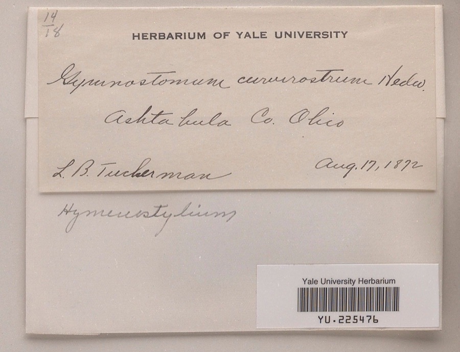
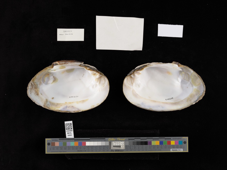
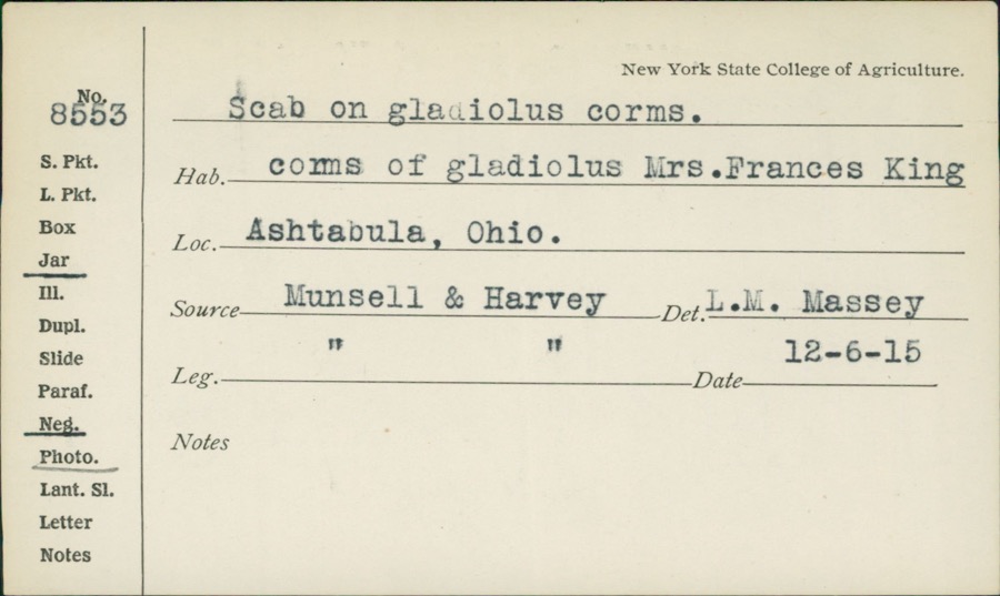
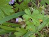
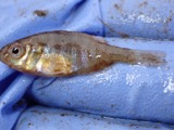
evidence. Museums hold 483 specimens
collected within 10 miles of Giddings, Joshua Reed, Law Office between 1872 and
1975: 413 Animalia, 52 Plantae, 16 Fungi, 1 Unrecorded, 1 Chromista. 12 distinct Species records are shown.
Collected by A. B. Fuller, A. Woolman, Ansley, G and others. Each is a
physical object with a catalogue
number, and each entry opens the museum's record. This is what was
collected and kept, not a survey of what lives here - nothing can be
concluded from a species being absent.
Regional context, not property-specific
evidence. The National Weather Service names
Jefferson, the town this property stands in, in 32 storm reports between 1994 and 2025: 23 thunderstorm wind, 7 hail, 1 lightning, 1 funnel cloud.
No death or injury is recorded in these reports. Each account below is quoted exactly as the forecast office
filed it, from the NOAA Storm Events Database, and each date
opens the federal record of that event.
Thunderstorm downburst winds produced a swath of damage across northern Ashtabula County. Damage stretched from the Jefferson area northeastward across Sheffield Township and into the Conneaut area. Significant tree damage was reported in Jefferson. A residence in Sheffield Township along Peebles Road had nearly 70 trees toppled. Dozens of trees were also downed in the Conneaut area with at least five homes in the town heavily damaged by fallen trees. Scattered downed trees were reported across the remainder of the area. Many power outages were reported.
Thunderstorm winds downed several large trees and power lines. Farm equipment was overturned and a roof was blown off a barn. Siding on an industrial building was damaged during this event as well.
The media reported numerous trees down in Jefferson and Sheriff's office confirmed trees and powerlines down across the county. First Energy reported 5000 customers lost power.
A large tree limb was downed on a house. Lawn furniture was blown across the yard. Neighbors homes were unaffected and a very small microburst is suspected.
Two men, ages 55 and 31 were struck by lightning while leaning on a metal pole in their yard. Both men were treated for minor injuries at a local hospital.
No historic map-sheet match is published
for this property yet. That does not mean no map exists. This record needs
a coordinate-quality review before it can be joined to a sheet boundary.
Browse the county's mapped places while that work is
pending.
Listed places nearby
6 within 8 miles
Other National Register properties close
enough to walk or drive between, ordered by distance from this one. Both
positions come from the same geocoding pass that matched these properties
to their map sheets.
Listing record. National Park Service National Register of Historic Places, listed-properties dataset, current to 2026-05-22.
Map join. Address geocoded through the United States Census geocoder, then tested against the published boundary of every sheet in the USGS Historical Topographic Map Collection.
How this page is made. Listing fields come from federal records; map-sheet coverage is a labelled coordinate-to-boundary calculation, not a source-field claim.
Wildfire. Short, Karen C. 2022. Spatial wildfire occurrence data for the United States, 1992-2020 [FPA_FOD_20221014]. 6th Edition. Fort Collins, CO: Forest Service Research Data Archive. https://doi.org/10.2737/RDS-2013-0009.6 Collected with United States Government funding and usable without additional permissions or fees.
Specimens. Global Biodiversity Information Facility (GBIF), https://www.gbif.org/. Only records licensed CC0 or CC BY are used. Records licensed CC BY-NC are excluded because this site carries advertising. Images are checked individually and any whose licence is non-commercial, no-derivatives or unreadable is refused.
Storms. NOAA National Centers for Environmental Information, Storm Events Database https://www.ncei.noaa.gov/stormevents/ A work of the United States government, no copyright under 17 U.S.C. 105. Narratives are quoted verbatim from the National Weather Service report and are not edited or summarised.
 Block
Block