Listed on the National Register of Historic Places in
1975. A historic map-sheet match is not published yet. The record needs a coordinate-quality review before it can be joined to a sheet boundary.
From the record
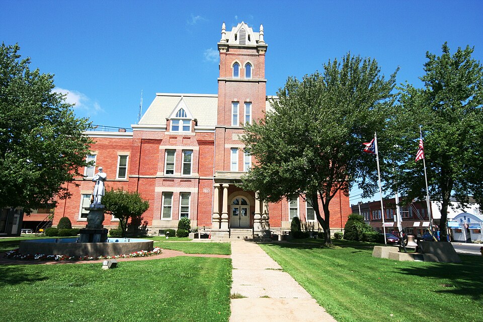
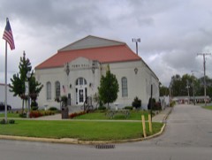
“Ashtabula County Courthouse Group is a registered historic district in Jefferson, Ohio, listed in the National Register in 1975.”
Wikipedia article Ashtabula County Courthouse Group, CC BY-SA 4.0.
one of 36 National Register listings in Ashtabula County · listed in 1975 · category: District · one of 1 National Historic Landmarks in Ashtabula County.
National Register reference number.75001316- the number the National Park Service assigned this property when it was listed, and the key its nomination file is catalogued under at the National Archives.
Andover Township : ZADOC STEEL, 1808 Ashtabula Township : THOMAS HAMILTON, 1801 The first family into the township was that of GEORGE BECKWITH. Cherry Valley Township : NATHANIEL HUBBARD, 1818 DENMARK TOWNSHIP : PETER and PHOEBE KNAPP, 1809 Geneva Township : THEOBALD BARTHOLOMEW, 1802 Harpersfield Township. : Colonel HARPER, 1798 Hartsgrove Township : GEORGE ALDERMAN, 1822 Jefferson Township : MICHAEL WEBSTER, 1804 Kingsville Township ELDAD and SAMANTHA HARRINGTON,
Regional context, not property-specific
evidence. The
federal wildfire occurrence database
lists 2 fires within 5 miles of Ashtabula County Courthouse Group between
2020 and 2020, burning about 2 acres in total. None started naturally. None was recorded as arson.
Distance is straight-line from the map coordinates, so a fire counted
here may appear on a neighbouring settlement's page as well.
Reported cause
Fires
Debris and open burning
2
The most recent of
them, most recent first, with the day each was reported and the service
that recorded it.
Regional context, not property-specific
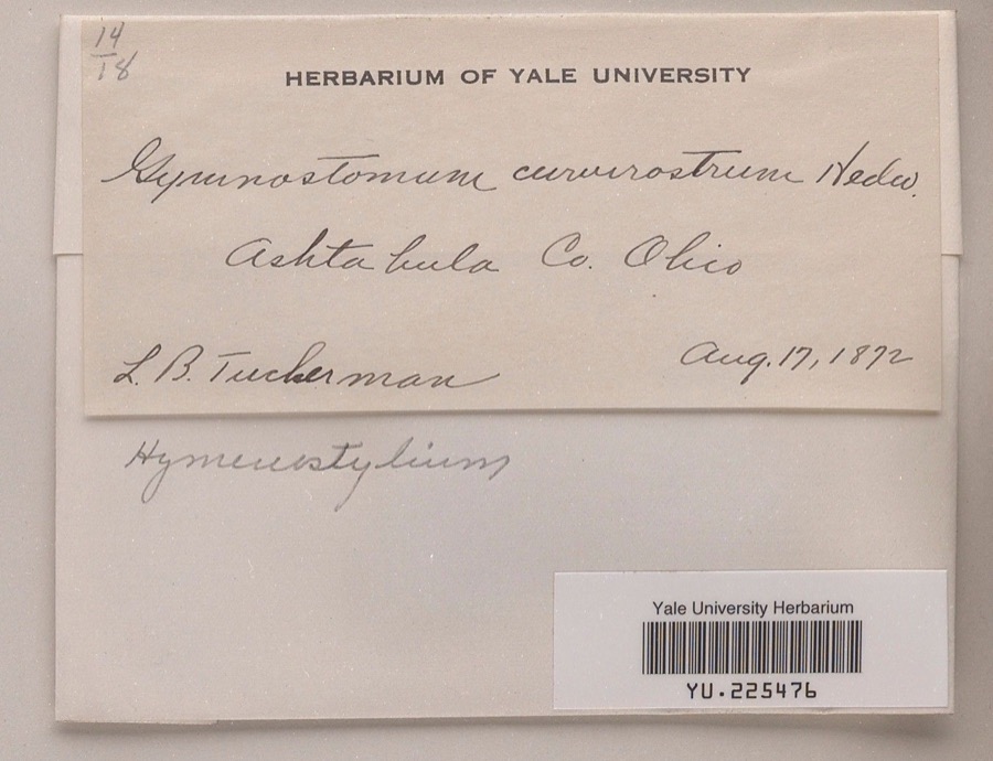
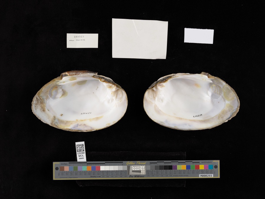
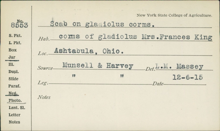
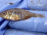
evidence. Museums hold 482 specimens
collected within 10 miles of Ashtabula County Courthouse Group between 1872 and
1975: 414 Animalia, 50 Plantae, 16 Fungi, 1 Unrecorded, 1 Chromista. 12 distinct Species records are shown.
Collected by A. B. Fuller, A. Woolman, Ansley, G and others. Each is a
physical object with a catalogue
number, and each entry opens the museum's record. This is what was
collected and kept, not a survey of what lives here - nothing can be
concluded from a species being absent.
Regional context, not property-specific
evidence. The National Weather Service names
Jefferson, the town this property stands in, in 32 storm reports between 1994 and 2025: 23 thunderstorm wind, 7 hail, 1 lightning, 1 funnel cloud.
No death or injury is recorded in these reports. Each account below is quoted exactly as the forecast office
filed it, from the NOAA Storm Events Database, and each date
opens the federal record of that event.
Thunderstorm downburst winds produced a swath of damage across northern Ashtabula County. Damage stretched from the Jefferson area northeastward across Sheffield Township and into the Conneaut area. Significant tree damage was reported in Jefferson. A residence in Sheffield Township along Peebles Road had nearly 70 trees toppled. Dozens of trees were also downed in the Conneaut area with at least five homes in the town heavily damaged by fallen trees. Scattered downed trees were reported across the remainder of the area. Many power outages were reported.
Thunderstorm winds downed several large trees and power lines. Farm equipment was overturned and a roof was blown off a barn. Siding on an industrial building was damaged during this event as well.
The media reported numerous trees down in Jefferson and Sheriff's office confirmed trees and powerlines down across the county. First Energy reported 5000 customers lost power.
A large tree limb was downed on a house. Lawn furniture was blown across the yard. Neighbors homes were unaffected and a very small microburst is suspected.
Two men, ages 55 and 31 were struck by lightning while leaning on a metal pole in their yard. Both men were treated for minor injuries at a local hospital.
No historic map-sheet match is published
for this property yet. That does not mean no map exists. This record needs
a coordinate-quality review before it can be joined to a sheet boundary.
Browse the county's mapped places while that work is
pending.
From the nomination file
2,196 words on record
When this property was proposed for the
National Register, someone wrote the case for it: what the building is,
and why it matters. That document is a federal record in the public domain.
It is quoted below word for word, never summarised. The text was read off the scanned case file by machine, so the
occasional stray character is the recogniser's and the 1970s
typewriter's.
Description of the property
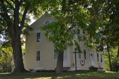
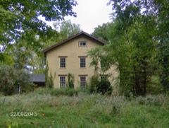
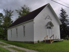
high ceilings, and woodwork of the styles of both the 1850s and 1890s. DEC31 1974 CONDITION REGISTER NATIONAL RECEIVED Victorian Italianate style.To its north is a small non-conforming support the eaves cornice, which is broken in the center by a cornices and a corbeled eaves line. building (including the steep dormered roof).An axially placed entrance a two-story Italianate brick building with handsome heavy window two entrances symmetrically placed at the sides.Double brackets stepped parapet gable framing a molded arched window. Facing the green on the west are three buildings serving as law The courthouse faces south toward the green.If a style name soldier resting on his rifle.
form.It has three entrances from the platform on the east facade, On the north side of the courthouse is another two-story brick (Check One) had to be assigned, it would be Queen Anne. It is a three-story but they also create a physical and visual ensemble because of the roof.An additional steeple-like stage has been lost.A front porch of The square also includes a Civil War memorial with a statue ofa of 1850,to which the front was added in 189l.The interiors of the the rear of the courthouse. way they are placed in relation to the public green and to each other.
building in the Italianate style.The east facade has four bays with ones fronting ona public green,and a fifth serving as an annex to * Excellent - Good - Fair - Unexposed tower rises another two stories and has pointed windows and a hipped frame building with modern siding. At the north end of the group is Ruins stone is supported by doubled columns with exaggerated bulbous bases.
Ohio, Benjamin Wade and Joshua Giddings, the nationally important separate the southern part of the county, and the city of Ashtabula The Italianate building to the north, occupied by the Probate Levi T. Scofield, best known for his Soldiers' and Sailors' Monu- DEC31 1974 D Architecture SIGNIFICANCE losophy Theater Engineering Communications Commerce Transportation Aboriginal Religion/Phi RECEIVED NATIONAL REGISTER itarian Literature Social/Human- Landscape Conservation Music Political Military Invention Agriculture militant anti-slavery congressman. ment in Cleveland.The contractor and builder was J.M.Watters the early nineteenth century, and are physically little altered and esthetic compliment to the courthouse square.
Sculpture The courthouse is the fourth structure on the site.The first county commissioners immediately voted to rebuild on the site, Ionic portico and a central tower.The present enlargement of that atlas of that date.These buildings provide both a functional of Jefferson.The building known as Lawyers' Row on the west Court, was erected in 1870 and designed by Cleveland architect The courthouse square and its adjacent buildings have been and this resulted in a handsome Greek Revival building with an Education also had ambitions to become the county seat. However, the since the completion of the courthouse in l89l.The significance the center of the public life of the county seat at Jefferson since building was designed by John Woolly and constructed in 189l.
building of 1810 was replacedin1836.That structure burned in 1850.This event threatened to bring toa head a movement to side of the green was built before 1874,as itappears in an Other (Specify) of Jefferson's legal center is enhanced by the fact that it' was the home of two of the most important lawyers in the history of AREAs OF SIGNIFICANCE (Check One or More as Appropriate) 1971), 12-13. Moina W. Large, History of Ashtabula County, Ohio (Topeka/Indian- apolis, 1924),
Quoted from the National Register nomination
for reference 75001316, 18 pages, held by the National Archives in Record
Group 79. See the
catalogue record.
Listed places nearby
6 within 8 miles
Other National Register properties close
enough to walk or drive between, ordered by distance from this one. Both
positions come from the same geocoding pass that matched these properties
to their map sheets.
Listing record. National Park Service National Register of Historic Places, listed-properties dataset, current to 2026-05-22.
Map join. Address geocoded through the United States Census geocoder, then tested against the published boundary of every sheet in the USGS Historical Topographic Map Collection.
How this page is made. Listing fields come from federal records; map-sheet coverage is a labelled coordinate-to-boundary calculation, not a source-field claim.
Wildfire. Short, Karen C. 2022. Spatial wildfire occurrence data for the United States, 1992-2020 [FPA_FOD_20221014]. 6th Edition. Fort Collins, CO: Forest Service Research Data Archive. https://doi.org/10.2737/RDS-2013-0009.6 Collected with United States Government funding and usable without additional permissions or fees.
Specimens. Global Biodiversity Information Facility (GBIF), https://www.gbif.org/. Only records licensed CC0 or CC BY are used. Records licensed CC BY-NC are excluded because this site carries advertising. Images are checked individually and any whose licence is non-commercial, no-derivatives or unreadable is refused.
Storms. NOAA National Centers for Environmental Information, Storm Events Database https://www.ncei.noaa.gov/stormevents/ A work of the United States government, no copyright under 17 U.S.C. 105. Narratives are quoted verbatim from the National Weather Service report and are not edited or summarised.
 Block
Block