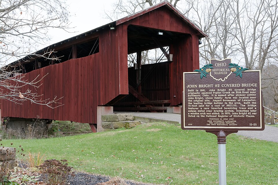
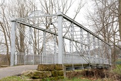
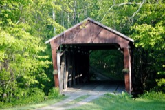
Built in 1881. Listed on the National Register of Historic Places in
1975. A historic map-sheet match is not published yet. The record needs a coordinate-quality review before it can be joined to a sheet boundary.
From the record
“Jacob, the Fairfield pioneer, was born March 17, 1775. He married Margaret Baker, O'f Rockingham County, Virginia, March 5, 1799.”
Pioneer Period and Pioneer People of Fairfield County, Ohio (1901). Machine-read text.
one of 29 National Register listings in Fairfield County · listed in 1975 · category: Structure · built in 1881 · one of 1 National Historic Landmarks in Fairfield County.
National Register reference number.75001393- the number the National Park Service assigned this property when it was listed, and the key its nomination file is catalogued under at the National Archives.
What happened here
An account from the chapter on Liberty township, The inset identifies its exact
source book and publication year.
The first season they planted about three acres of corn, but they did not even get a peck of ripe corn. The squirrels visited the cornfield in day-time, and the raccoons in the night. Jacob told me that his father, Abraham, went out with his rifle one morning and killed thirty-eight squirrels ofi" of one tree, and then he was not able to count the remainder on the same tree.
Baltimore and Basil, on the canal, are in Liberty, and are both places of considerable business. Baltimore is a considerable village, and is quite noted for the strength and respectability of its secret orders. It has the usual amount of church and school facilities. Before the trade of the county was distributed by its two railroads, Baltimore had a heavy grain trade, on account of the facilities of transportation afforded by the Ohio Canal, upon whose banks it stands.
Old Father Jacob Goss landed here in 1807 or 1808, and put up a cabin. He had two sons and one daughter. When the canal was being located, Henry Hildebrand laid out a new town, which was named New Market, but is now the "Baltimore, Ohio." Jonathan Flattery surveyed the lots of Basil, and when he was through he asked Father Goss what he was going to call his town, and he (Goss) decided to leave the naming of it to his neighbors. My father proposed Basil,* and 'Squire Joseph Hustand proposed Geneva, both Swiss names. It was decided to determine by ballot. At this stage of the case, I, a boy, came along on my return from the old Hively log school-house, with my copy-book under my arm. Father told me to write some tickets, which I did, upon a blank sheet torn from my copy-book. The votes were cast, and upon counting out from the hat it was found that there were six for Basil and six for Geneva - a tie. At this point my uncle, John Goss, came up the hill, when my father said : "John, vote Basil." He gave the casting vote, and hence Basil. I was, therefore, the first to write the name of our village, Basil. This was in 182-5, and therefore these two villages are a little over (ifty years old. Henry Hildebrand was first proprietor of Baltimore, and Jacob Goss first proprietor of Basil.
Regional context, not property-specific
evidence. The
federal wildfire occurrence database
lists 5 fires within 5 miles of Bright, John, Covered Bridge between
2008 and 2020, burning about 29 acres in total. None started naturally. None was recorded as arson.
Distance is straight-line from the map coordinates, so a fire counted
here may appear on a neighbouring settlement's page as well.
Reported cause
Fires
Debris and open burning
2
Power generation/transmission/distribution
1
Missing data/not specified/undetermined
1
Equipment and vehicle use
1
The most recent of
them, most recent first, with the day each was reported and the service
that recorded it.
Regional context, not property-specific
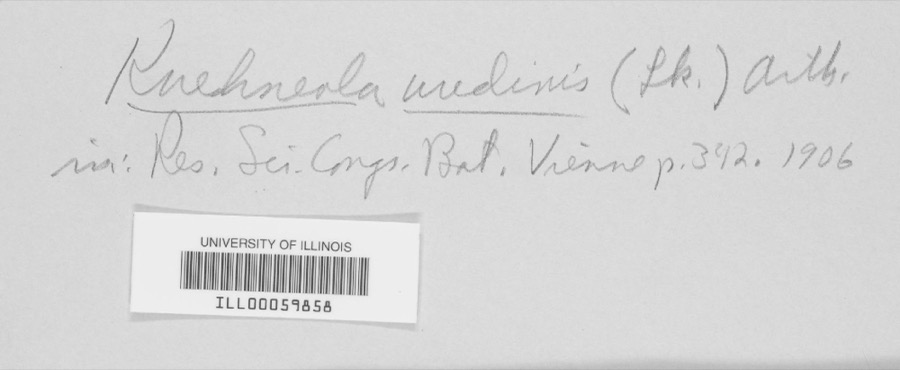
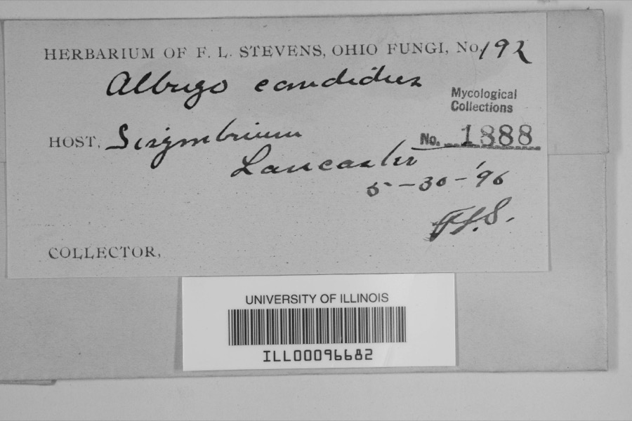
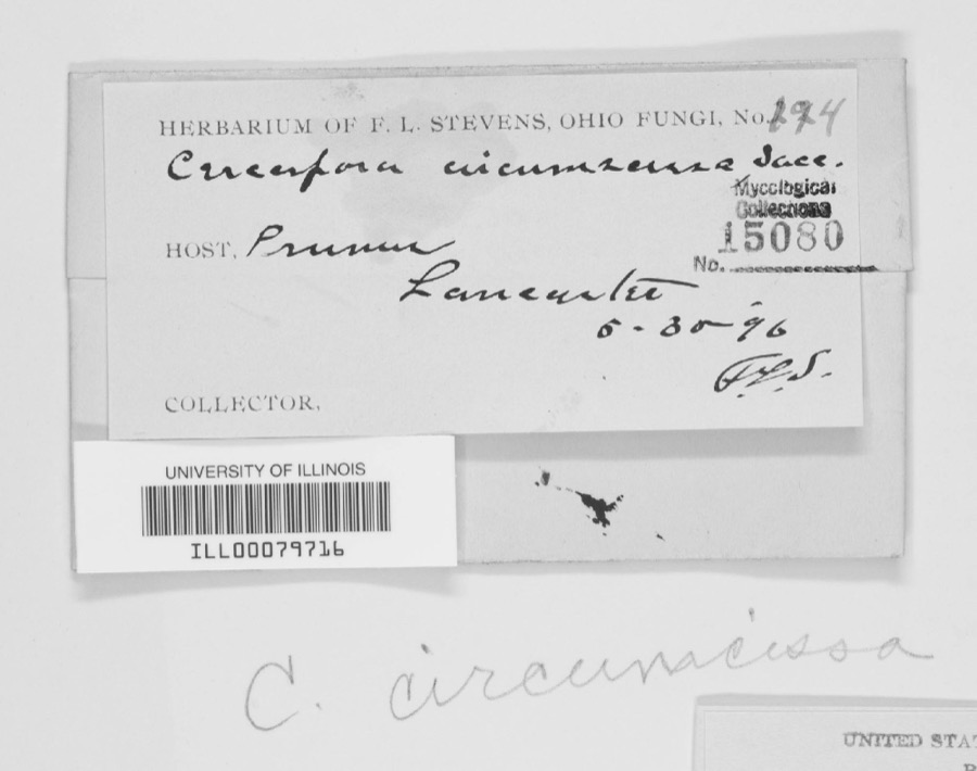
evidence. Museums hold 2,123 specimens
collected within 10 miles of Bright, John, Covered Bridge between 1843 and
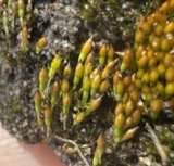
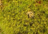
1975: 1,793 Animalia, 259 Fungi, 63 Plantae, 6 Protozoa, 2 Chromista. 12 distinct Species records are shown.
Collected by Asa Gray; W. S. Sullivant, Bales, B. R., Bangham, R. V. and others. Each is a
physical object with a catalogue
number, and each entry opens the museum's record. This is what was
collected and kept, not a survey of what lives here - nothing can be
concluded from a species being absent.
Regional context, not property-specific
evidence. The federal mineral resources record lists
3 workings within 5 miles of Bright, John, Covered Bridge: 3 producers.
All of them still produce. What was taken out: Sand and Gravel, Construction. Distance is straight-line from the
map coordinates, so a quarry counted here may appear on a neighbouring
settlement's page as well.
Regional context, not property-specific
evidence. The National Weather Service names
Baltimore, the town this property stands in, in 42 storm reports between 1998 and 2025: 23 thunderstorm wind, 16 hail, 2 heavy rain, 1 tornado.
No death or injury is recorded in these reports. Each account below is quoted exactly as the forecast office
filed it, from the NOAA Storm Events Database, and each date
opens the federal record of that event.
A house was damaged, a barn was destroyed, several roofs were damaged, a storage shed was blown down, large trees were down, and power lines were snapped due to damaging thunderstorm winds.
A roof was ripped off a house causing moderate damage. Numerous trees were downed in the vicinity of the house. Several barns also sustained some damage. An NWS storm survey determined that the damage was caused by microburst winds of 75 to 85 mph with a few higher gusts.
The tornado touched down east of Baltimore along Canal Road. Damage to a home was done at this location and a garage was destroyed. In addition windows were also blown out at this location. Numerous large trees were snapped and uprooted in the area. Additional damage was found along Millersport Road where a barn was damaged. Estimated maximum wind speed based on damage is around 100 miles per hour.
No historic map-sheet match is published
for this property yet. That does not mean no map exists. This record needs
a coordinate-quality review before it can be joined to a sheet boundary.
Browse the county's mapped places while that work is
pending.
From the nomination file
1,910 words on record
When this property was proposed for the
National Register, someone wrote the case for it: what the building is,
and why it matters. That document is a federal record in the public domain.
It is quoted below word for word, never summarised. The text was read off the scanned case file by machine, so the
occasional stray character is the recogniser's and the 1970s
typewriter's.
Description of the property
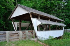
Excellent These portals are detailed sketch of this truss is included. Fair paint on both sides and portals.The sides and portals are finished with battens. The John Bright Covered Bridge was unpainted for many years, ing it some protection from the weather. the wooden arch on each side of the verticals and extend down beams.x This truss is difficult for even the most knowledge- but recently it has received a coat of a rather bright red southwest of Baltimore in Fairfieid County, Ohio.This un- This is known as the John Bright Bridge and it has a very un- The stone abutments are the original
Statement of significance
the suspension bridges they built, or if they were ever FEB281975 Commerce Communications Architecture Conservation Theater Military Industry Literature Music Sculpture itarian Religion/Phi Education patented. RECEIVED John Bright Covered Bridge is an extremely attractive and Social/Human- losophy REGISTER The John Bright Covered Bridge is an outstanding example of Invention The John Bright Bridges take their name from the Bright of preservation. 19th century engineering skills.It was built in l88l by covered bridge as John Bright Bridge #2.Unfortunately, we NATIONAL' bridge is usually referred to as John Bright #l and the Landscape Agriculture Aug Borneman and Sons for a cost of $993.75.Mr.
Borneman, Aboriginal Political SPECIFIC DATE(s) (If Applicable and Known) 1881 PERIOD (Check One or More as Appropriate) Art inverted arch suspension bridge just around the corner of the land around both the covered and steel bridges. The at this time, or very soon thereafter, was owner of the Hock- know very little today about the Hocking Valley Bridge Works, ing Valley Bridge Works. Family who were early settlers in this area and owmed much This company built the unusual steel ion AREAs OF SIGNIFICANCE (Check One or More as Appropriate) Science 8S
Quoted from the National Register nomination
for reference 75001393, 14 pages, held by the National Archives in Record
Group 79. See the
catalogue record.
Listed places nearby
6 within 8 miles
Other National Register properties close
enough to walk or drive between, ordered by distance from this one. Both
positions come from the same geocoding pass that matched these properties
to their map sheets.
Listing record. National Park Service National Register of Historic Places, listed-properties dataset, current to 2026-05-22.
Map join. Address geocoded through the United States Census geocoder, then tested against the published boundary of every sheet in the USGS Historical Topographic Map Collection.
How this page is made. Listing fields come from federal records; map-sheet coverage is a labelled coordinate-to-boundary calculation, not a source-field claim.
Wildfire. Short, Karen C. 2022. Spatial wildfire occurrence data for the United States, 1992-2020 [FPA_FOD_20221014]. 6th Edition. Fort Collins, CO: Forest Service Research Data Archive. https://doi.org/10.2737/RDS-2013-0009.6 Collected with United States Government funding and usable without additional permissions or fees.
Specimens. Global Biodiversity Information Facility (GBIF), https://www.gbif.org/. Only records licensed CC0 or CC BY are used. Records licensed CC BY-NC are excluded because this site carries advertising. Images are checked individually and any whose licence is non-commercial, no-derivatives or unreadable is refused.
Mines and quarries. USGS Mineral Resources Data System (MRDS) https://mrdata.usgs.gov/mrds/ A work of the United States government, no copyright under 17 U.S.C. 105.
Storms. NOAA National Centers for Environmental Information, Storm Events Database https://www.ncei.noaa.gov/stormevents/ A work of the United States government, no copyright under 17 U.S.C. 105. Narratives are quoted verbatim from the National Weather Service report and are not edited or summarised.
 Block
Block