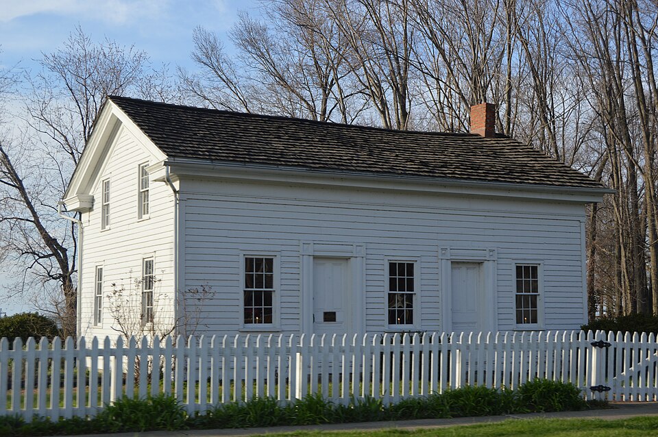
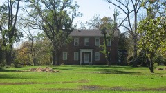
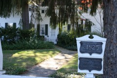
Listed on the National Register of Historic Places in
1978. A historic map-sheet match is not published yet. The record needs a coordinate-quality review before it can be joined to a sheet boundary.
From the record
one of 113 National Register listings in Lorain County · listed in 1978 · category: Building · one of 2 National Historic Landmarks in Lorain County.
National Register reference number.78002106- the number the National Park Service assigned this property when it was listed, and the key its nomination file is catalogued under at the National Archives.
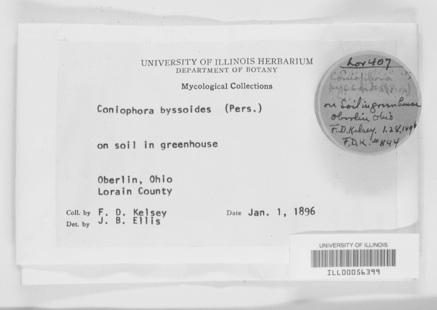
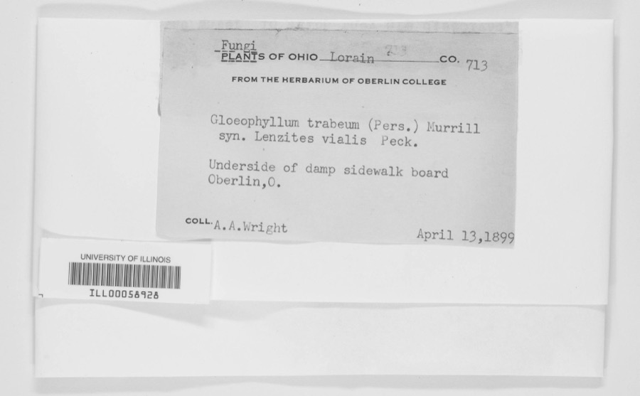
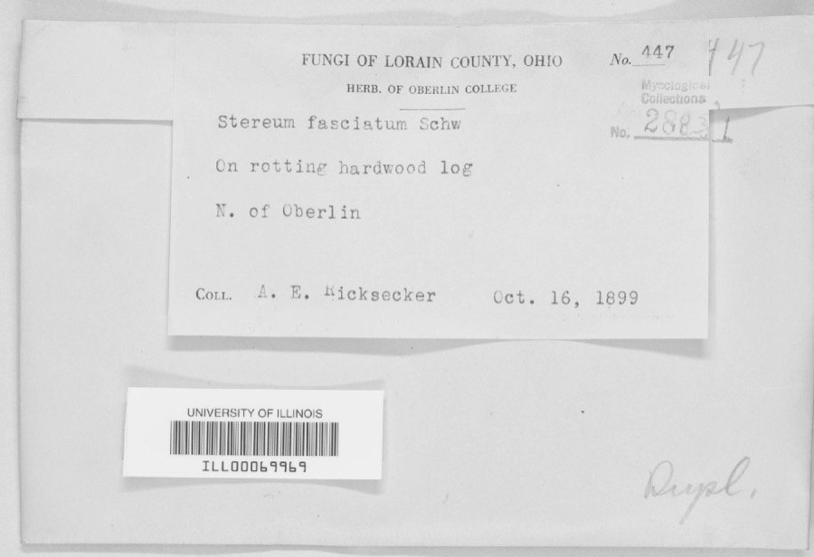
Specimens collected near this property
12 of 1,288 shown
Regional context, not property-specific
evidence. Museums hold 1,288 specimens
collected within 10 miles of Miller, Peter, House between 1853 and
1975: 1,001 Animalia, 256 Fungi, 23 Plantae, 4 Protozoa, 4 Unrecorded. 12 distinct Species records are shown.
Collected by ?, A. A. Wright, A. E. Ricksecker and others. Each is a
physical object with a catalogue
number, and each entry opens the museum's record. This is what was
collected and kept, not a survey of what lives here - nothing can be
concluded from a species being absent.
Regional context, not property-specific
evidence. The National Weather Service names
Avon Lake, the town this property stands in, in 30 storm reports between 1994 and 2024: 19 thunderstorm wind, 7 hail, 3 waterspout, 1 flash flood.
The reports record 1 injury. Each account below is quoted exactly as the forecast office
filed it, from the NOAA Storm Events Database, and each date
opens the federal record of that event.
A few trees and utility wires were reported down. In Avon Lake, a large tree limb fell on a bicyclist. The bicyclist sustained minor injuries and was transported to the hospital.
A series of thunderstorms rolled in off Lake Erie during the early morning hours of June 23. Between 5 am and 6 am three separate storms hit northeast Lorain and northwest Cuyahoga Counties with heavy rain and strong winds. The radar estimates rainfall amounts of around 2.5 to 3 inches in a little less than two hours. The rainfall rates spiked to over 5 inches per hour during the height of the storm dropping 2.5 inches in 30 minutes. This intense rainfall overwhelmed storm drainage systems resulting in widespread basement flooding which started before widespread power outages. Some homes on Lake Road had up to five feet of water in their basements. Bay Village received between 2.8 to 3.5 of rain during about a two hour time period which resulted in over 400 homes with basement flooding. The heavy rain fell on ground that was already saturated which exasperated the flooding conditions. The Water Treatment Plant was forced to dump untreated sewage directly into Lake Erie in order alleviate flooding into residences. Interstate 90 in Rocky River was closed in both directions due to flooding and standing water. There were no official rain gauges located in the band of heaviest rainfall. The nearby gauges at Westlake and Sheffield Lake reported 1.80 and 1.90 respectively.
The Avon Lake Mayor reported that the power plant sustained roof damage and recorded a wind gust to 78 mph. Trained weather spotters and law enforcement also reported several trees down in Avon Lake, including Redwood Boulevard, Lade Road, and Edge Road. Numerous residents lost power.
No historic map-sheet match is published
for this property yet. That does not mean no map exists. This record needs
a coordinate-quality review before it can be joined to a sheet boundary.
Browse the county's mapped places while that work is
pending.
From the nomination file
1,565 words on record
When this property was proposed for the
National Register, someone wrote the case for it: what the building is,
and why it matters. That document is a federal record in the public domain.
It is quoted below word for word, never summarised. The text was read off the scanned case file by machine, so the
occasional stray character is the recogniser's and the 1970s
typewriter's.
Description of the property
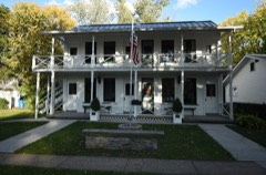
sandstone blocks. Originally, the main portion of the building was faced with clapboard siding, ture and are not visible from the public right of way.The first of these, is a small lean to window openings and a slate roof. Its construction is solid and substantial, which is unusual for an appendage to a frame building . interior shows signs of deterioration, but is currently under restoration. by a large electric generating plant on the east and residences on the west. About.three CONDITION DATE MOVED EXCELLENT DETERIORATED RUINS XALTERED CHECK ONE tends outward at a right angle from the main structure.This addition has segmental arched This structure was originally a farmhouse, but only a small garage exists on the property grassy areas, which are used for recreational purposes.
the additions. The main entrance leads directly into the front parlor which is the major space of This was probably the original cooking fireplace as well as the means of heating the house. The Three major wings have been added to this building.A wing extending from the eastern side bays wide on the sides.It features simple Greek Revival details such as a plain hundred feet to the north is Lake Erie.The property has several large shade trees and open _UNALTERED partial returns, narrow corner pilasters and block mouldings around the main entrance.The The interior of the Peter Miller House is largely original with no major alterations other than addition that houses a storage room.
The second is a brick structure with a gable roof that ex- _UNEXPOSED the house .To the right is a large fireplace framed by Greek Revival pilasters and an entablature. of the building houses the kitchen and pantry.lt is similar in style to the main portion, but and retain their wood trim on the interior.
Peter Miller arrived in Avon in 1819 with his father, Adam Miller. The Miller family estab- settlements were located, making this a rather isolated farmhouse. 1400-1499 1600-1699 1500-1599 ENGINEERING COMMUNICATIONS ART ARCHEOLOGY-HISTORIC EDUCATION PERIOD THEATER CONSERVATION LAW INDUSTRY AGRICULTURE BUILDER/ARCHITECT SCIENCE POLITICS/GOVERNMENT SIGNIFICANCE PHILOSOPHY LITERATURE ARCHITECTURE MILITARY PREHISTORIC SCULPTURE MUSIC 1900- _1700-1799 SOCIAL/HUMANITARIAN This house is one of only a handful of surviving pre-Civil War lakefront houses in Lorain County. _ECONOMICS and established their own farms.Peter Miller erected the first frame structure in what is now lished a farm on the lakeshore that year.Peter and his brother John Miller inherited the property of Avon Lake.
inland areas.The areas along the ridges further inland in the township were where the major and location in a large city park, give this building added prominence.It is used by the Avon lakeshore made this area prime residential land.In 1926, the village of Avon Lake was incorporated rural character by virtue of its location in a city park. House survives today in basically unaltered condition. This, combined with its public ownership Early in the twentieth century, the development of the electric interurban lines along the rounded by residential, industrial and commercial development, but manages to retain much of its and school groups for occasional tours.
Thus;it is the historical focal point for the city It is the home of the first permanent settler on the Lake Shore in Avon township.The Peter Miller Lake Historical Society as a museum and community center.The building is open to the public and a large electric generating plant built next to this house. Today, the Miller House is sur- -RELIGION Avon Lake around 1830.At this time, the lakeshore area was still sparsely settle, compared to SPECIFIC DATES circa 1830 INVENTION ARCHEOLOGY-PREHISTORIC COMMUNITYPLANNING D.J.
Quoted from the National Register nomination
for reference 78002106, 9 pages, held by the National Archives in Record
Group 79. See the
catalogue record.
Listed places nearby
6 within 8 miles
Other National Register properties close
enough to walk or drive between, ordered by distance from this one. Both
positions come from the same geocoding pass that matched these properties
to their map sheets.
Listing record. National Park Service National Register of Historic Places, listed-properties dataset, current to 2026-05-22.
Map join. Address geocoded through the United States Census geocoder, then tested against the published boundary of every sheet in the USGS Historical Topographic Map Collection.
How this page is made. Listing fields come from federal records; map-sheet coverage is a labelled coordinate-to-boundary calculation, not a source-field claim.
Specimens. Global Biodiversity Information Facility (GBIF), https://www.gbif.org/. Only records licensed CC0 or CC BY are used. Records licensed CC BY-NC are excluded because this site carries advertising. Images are checked individually and any whose licence is non-commercial, no-derivatives or unreadable is refused.
Storms. NOAA National Centers for Environmental Information, Storm Events Database https://www.ncei.noaa.gov/stormevents/ A work of the United States government, no copyright under 17 U.S.C. 105. Narratives are quoted verbatim from the National Weather Service report and are not edited or summarised.
 Block
Block