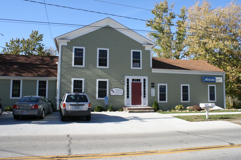
Listed on the National Register of Historic Places in
1978. A historic map-sheet match is not published yet. The record needs a coordinate-quality review before it can be joined to a sheet boundary.
From the record
one of 113 National Register listings in Lorain County · listed in 1978 · category: Building · one of 2 National Historic Landmarks in Lorain County.
National Register reference number.78002105- the number the National Park Service assigned this property when it was listed, and the key its nomination file is catalogued under at the National Archives.
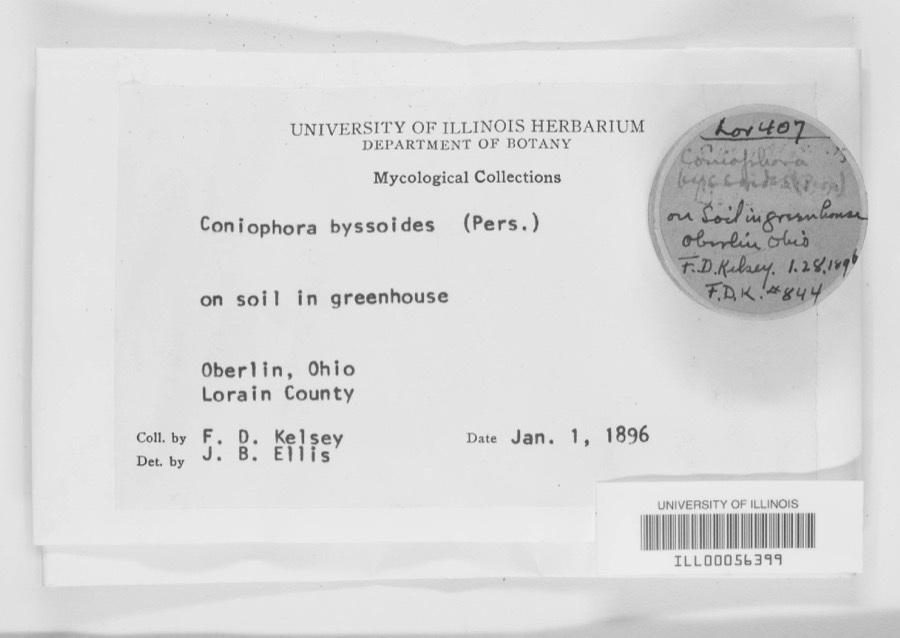
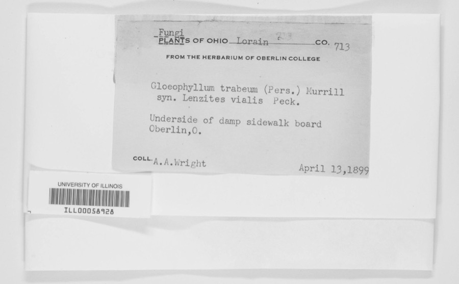
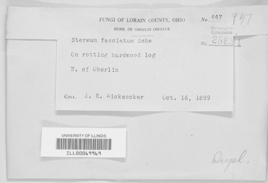
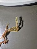
Specimens collected near this property
12 of 1,406 shown
Regional context, not property-specific
evidence. Museums hold 1,406 specimens
collected within 10 miles of Williams, Henry Harrison, House between 1853 and
1975: 1,089 Animalia, 269 Fungi, 36 Plantae, 8 Protozoa, 4 Unrecorded. 12 distinct Species records are shown.
Collected by ?, A. A. Wright, A. E. Ricksecker and others. Each is a
physical object with a catalogue
number, and each entry opens the museum's record. This is what was
collected and kept, not a survey of what lives here - nothing can be
concluded from a species being absent.
Regional context, not property-specific
evidence. The National Weather Service names
Avon, the town this property stands in, in 28 storm reports between 1996 and 2025: 17 thunderstorm wind, 8 hail, 2 flash flood, 1 waterspout.
No death or injury is recorded in these reports. Each account below is quoted exactly as the forecast office
filed it, from the NOAA Storm Events Database, and each date
opens the federal record of that event.
No historic map-sheet match is published
for this property yet. That does not mean no map exists. This record needs
a coordinate-quality review before it can be joined to a sheet boundary.
Browse the county's mapped places while that work is
pending.
From the nomination file
2,035 words on record
When this property was proposed for the
National Register, someone wrote the case for it: what the building is,
and why it matters. That document is a federal record in the public domain.
It is quoted below word for word, never summarised. The text was read off the scanned case file by machine, so the
occasional stray character is the recogniser's and the 1970s
typewriter's.
Description of the property
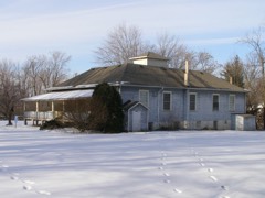
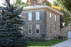
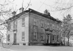
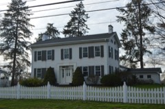
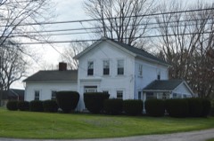
The exterior of the building has a simple, massive cornice in the main section featuring partial re- Four columns originally framed the entranceway, but have been removed. The exterior is covered by and replaced only where necessary - The interior features simple, massive Greek Revival woodwork. There are no fireplaces in the suggesting that it was built at an earlier date. The basement floors are dirt and the main supporting beams are trees cut in half with the bark still intact. terns, one of which extends above grade to a height of about six feet. CONDITION MOVED DATE EXCELLENT RUINS UNALTERED FAIR XALTERED GOOD yard, and the entire structure consists of massive wood beams joined by mortise and tennon construction. CHECK ONE clapboard siding accented by simple wood trim.
Most of this exterior siding is original, although in tions of the house; the east wing is three steps lower than the west wing and has lower height ceilings The original physical appearance of the home was that of a classic Greek Revival building consist- and shrubbery are located to the west of this house.Highways constrict the house on the south and east sides. considerably altered, but still features an original two panel door surrounded by side and top windows. This property contains some unusual and interesting cistern-like structures that relate to the house's X_DETERIORATED which this house is located. This house faces Detroit Road, which runs along an old beach ridge.The turns.
one of America's wealthiest utility magnates, whose fortunes at one time were counted in the hundreds community - It appears that this property has been the site of commercial activity since the community of in this house. In 1850 he erected the first steam sawmill in the town and in 1856 built a gristmill, both on land ad joining the present house. Williams also operated an ashery on the property, which and was active in county politics for years. Everett Williams later owned the Thomas W. Laundon appealed the suit, and in 1953, the y ear of his death, the U.S.
Supreme Court drastically reduced his 1600-1699 1700-1799 1400-1499 X1800-1899 ART ARCHEOLOGY-HISTORIC SCIENCE PREHISTORIC COMMUNICATIONS ENGINEERING PERIOD SCULPTURE SIGNIFICANCE BUILDER/ARCHITECT THEATER EXPLORATION/SETTLEMENT TRANSPORTATION 1900- fine. AGRICULTURE LITERATURE MILITARY board of directors of several large utility companies. Williams was able to assemble a vast inter- EDUCATION history against him for various financial dealings involving major Eastern utilities.He successfully influential businessmen and managed to assemble a personal fortune in excess of six hundred million MUSIC involved in the then forming utility industry.He became chief executive officer and was on the House in Elyria, making extensive improvements to the house during his residency.
The primary significance of the Henry Harrison Williams House lies in its intimate connection with years. In 1844, Henry Harrison Williams acquired the property and established a mercantile business _CONSERVATION dollars, although he never attained his professed goal of a billion dollar empire.His wedding in 1926 -PHILOSOPHY during the Depression, but he remained a very prominent and wealthy businessman. Williams managed nificant as the home of an important pioneer merchant and manufacturer.
Quoted from the National Register nomination
for reference 78002105, 11 pages, held by the National Archives in Record
Group 79. See the
catalogue record.
Listed places nearby
6 within 8 miles
Other National Register properties close
enough to walk or drive between, ordered by distance from this one. Both
positions come from the same geocoding pass that matched these properties
to their map sheets.
Listing record. National Park Service National Register of Historic Places, listed-properties dataset, current to 2026-05-22.
Map join. Address geocoded through the United States Census geocoder, then tested against the published boundary of every sheet in the USGS Historical Topographic Map Collection.
How this page is made. Listing fields come from federal records; map-sheet coverage is a labelled coordinate-to-boundary calculation, not a source-field claim.
Specimens. Global Biodiversity Information Facility (GBIF), https://www.gbif.org/. Only records licensed CC0 or CC BY are used. Records licensed CC BY-NC are excluded because this site carries advertising. Images are checked individually and any whose licence is non-commercial, no-derivatives or unreadable is refused.
Storms. NOAA National Centers for Environmental Information, Storm Events Database https://www.ncei.noaa.gov/stormevents/ A work of the United States government, no copyright under 17 U.S.C. 105. Narratives are quoted verbatim from the National Weather Service report and are not edited or summarised.
 Block
Block