Listed on the National Register of Historic Places in
1978. A historic map-sheet match is not published yet. The record needs a coordinate-quality review before it can be joined to a sheet boundary.
From the record
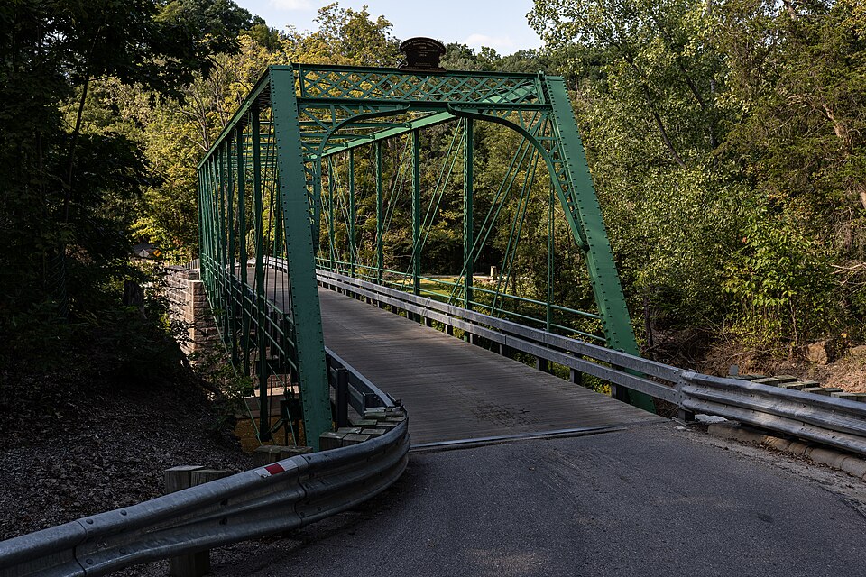
“The Dean Road Bridge on the Vermillion River is a historic Pratt truss bridge built in 1898. It was listed on the National Register of Historic Places in 1978.”
Wikipedia article Dean Road Bridge, CC BY-SA 4.0.
one of 113 National Register listings in Lorain County · listed in 1978 · category: Structure · one of 2 National Historic Landmarks in Lorain County.
National Register reference number.78002119- the number the National Park Service assigned this property when it was listed, and the key its nomination file is catalogued under at the National Archives.
Specimens collected near this property
12 of 1,212 shown
Regional context, not property-specific
evidence. Museums hold 1,212 specimens
collected within 10 miles of Dean Road Bridge between 1852 and
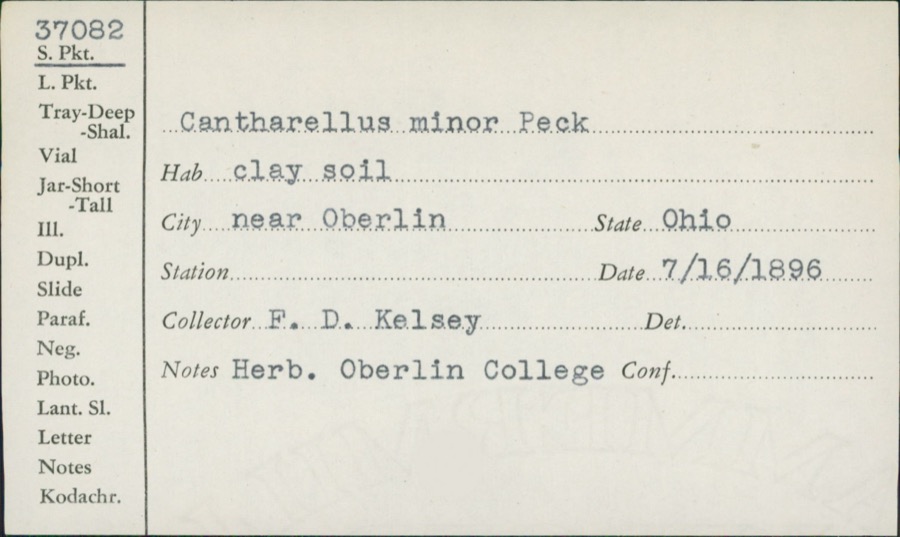
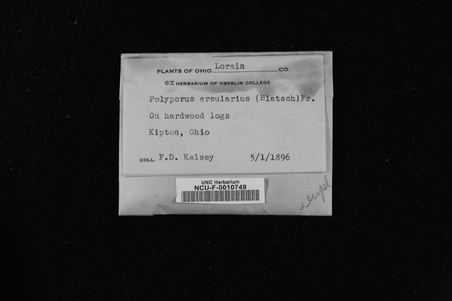
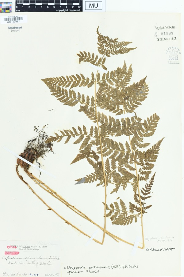
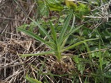
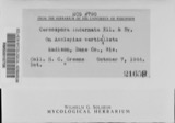
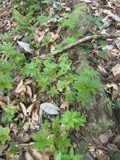
1974: 588 Fungi, 405 Animalia, 188 Plantae, 13 Chromista, 12 Protozoa, 6 Unrecorded. 12 distinct Species records are shown.
Collected by A. E. Recksecker, A. E. Ricksecker, A. J. Pieters and others. Each is a
physical object with a catalogue
number, and each entry opens the museum's record. This is what was
collected and kept, not a survey of what lives here - nothing can be
concluded from a species being absent.
Regional context, not property-specific
evidence. The federal mineral resources record lists
3 workings within 5 miles of Dean Road Bridge: 2 producers, 1 past producer.
2 still produce. What was taken out: Stone, Crushed/Broken, Stone, Crushed/Broken, Flagstone. Distance is straight-line from the
map coordinates, so a quarry counted here may appear on a neighbouring
settlement's page as well.
Regional context, not property-specific
evidence. The National Weather Service names
South Amherst, the town this property stands in, in 5 storm reports between 2013 and 2020: 5 thunderstorm wind.
No death or injury is recorded in these reports. Each account below is quoted exactly as the forecast office
filed it, from the NOAA Storm Events Database, and each date
opens the federal record of that event.
Thunderstorm winds tore the roof off of a house on Tacoma Avenue. Several other trees were reported down in the City of Lorain. The Emergency Manager estimated wind gusts to 60 mph.
No historic map-sheet match is published
for this property yet. That does not mean no map exists. This record needs
a coordinate-quality review before it can be joined to a sheet boundary.
Browse the county's mapped places while that work is
pending.
From the nomination file
1,769 words on record
When this property was proposed for the
National Register, someone wrote the case for it: what the building is,
and why it matters. That document is a federal record in the public domain.
It is quoted below word for word, never summarised. The text was read off the scanned case file by machine, so the
occasional stray character is the recogniser's and the 1970s
typewriter's.
Description of the property
road is a lightly traveled township road that crosses the river in a heavily wooded and largely un- bridge is built up approximately to the height of the shale cliff on the other side of the river with a valley, where the road ascends a long, steep snake-like course up the valley wall. The Vermilion The bridge structure itself is a box-shaped truss, known as a double intersection Pratt truss. It that is 15.4 feet wide.The maximum height of the bridge is 15.8 feet, and the roadway of the bridge to be level from the top of the shale cliff. The bridge has been maintained over the years, but nevertheless is in a somewhat deteriorated condi- tion, with signs of rust present.
Recent improvements to the bridge include the replacement of two sections of roadway at the ends of the bridge and replacement of some road supports. The abütments CONDITION MOVEDDATE River in this area is heavily wooded and largely unspoiled by man-made intrusions, making the area DETERIORATED flooring, but the rest of the structure is metal, probably rolled iron. The bridge is ten bays long, hav- UNALTERED EXCELLENT have also undergone strengthening with steel plates.However , it is apparent that there are missing slope abruptly terminates in a fity-foot shale cliff, with the river immediately below. The south ward.
This enabled a northern bridge abutment of a lesser height to be built than if the bridge were ing eight cross beams supporting the roadway, which in turn are supported by the truss structure. flood plain and is only a few feet higher than the river itself. As a result, the north abutment of the elements of the structure and more work will be necessary to completely stabilize the bridge, which is quite scenic. spoiled area.
This bridge is an excellent example of turn of the century metal truss bridges that were constructed throughout this region.Increased traffic loads and deterioration have taken their toll on these bridges clined roadway isa unique feature that makes this bridge of special interest. Its attractive, largely The Massillon Bridge Company of Massillon, Ohio, wasa leading producer of bridges in Ohio and structures that could be easily assembled. These bridges are elegant in that they clearly express their structure, but manage to do so in a man- The Dean Road Bridge still serves the purpose for which it was built, to connect two ends of this light ART EDUCATION distinction.
PERIOD CONSERVATION THEATER in bridge technology by providing local governments with relatively inexpensive, reliable, sturdy ARCHITECTURE BUILDER/ARCHITECT TRANSPORTATION AGRICULTURE SIGNIFICANCE SCULPTURE of truss bridges of this type by the Massillon Bridge Company and others represented a breakthrough LITERATURE at the factory and then brought out to the site where they were quickly assembled. The development MILITARY ner that creates much visual interest. They represent a high level of craftsmanship and engineering. closed. Thus, preservation of this bridge is important not only from an historic and aesthetic standpoint, in Lorain County. However, this bridge is more than just another example of a truss bridge.
Its in- SOCIAL/HUMANITARIAN _EXPLORATION/SETTLEMENT Massillon Bridge Company XINDUSTRY _POLITICS/GOVERNMENT natural setting, plus its high degree of craftsmanship and ornamentation give this bridge added _PREHISTORIC traveled townshiproad.lt is a convenience to have this structure remain open, but the tremendous re- -1400-1499 -COMMUNICATIONS but froma functional standpoint as well. placement cost that a new bridge would entail could not be justified for this road and it would have to be -1500-1599 -1600-1699 - ECONOMICS -1700-1799 _RELIGION _SCIENCE -COMMERCE -1900- to the point where few exist today.
Quoted from the National Register nomination
for reference 78002119, 9 pages, held by the National Archives in Record
Group 79. See the
catalogue record.
Listed places nearby
6 within 8 miles
Other National Register properties close
enough to walk or drive between, ordered by distance from this one. Both
positions come from the same geocoding pass that matched these properties
to their map sheets.
Listing record. National Park Service National Register of Historic Places, listed-properties dataset, current to 2026-05-22.
Map join. Address geocoded through the United States Census geocoder, then tested against the published boundary of every sheet in the USGS Historical Topographic Map Collection.
How this page is made. Listing fields come from federal records; map-sheet coverage is a labelled coordinate-to-boundary calculation, not a source-field claim.
Specimens. Global Biodiversity Information Facility (GBIF), https://www.gbif.org/. Only records licensed CC0 or CC BY are used. Records licensed CC BY-NC are excluded because this site carries advertising. Images are checked individually and any whose licence is non-commercial, no-derivatives or unreadable is refused.
Mines and quarries. USGS Mineral Resources Data System (MRDS) https://mrdata.usgs.gov/mrds/ A work of the United States government, no copyright under 17 U.S.C. 105.
Storms. NOAA National Centers for Environmental Information, Storm Events Database https://www.ncei.noaa.gov/stormevents/ A work of the United States government, no copyright under 17 U.S.C. 105. Narratives are quoted verbatim from the National Weather Service report and are not edited or summarised.
 Block
Block