Listed on the National Register of Historic Places in
1986. A historic map-sheet match is not published yet. The record needs a coordinate-quality review before it can be joined to a sheet boundary.
From the record
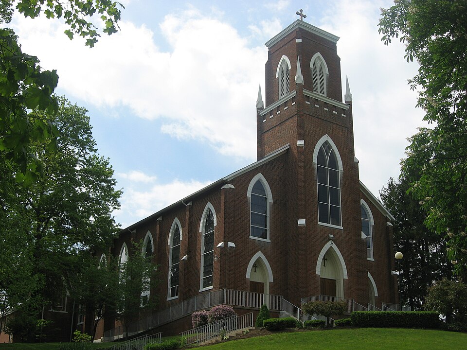
“Saint Joseph's Catholic Church is a historic church in the Roman Catholic Diocese of Columbus, located in Somerset, Ohio. It is one of the oldest Catholic church buildings in Ohio and home to Ohio's oldest Catholic parish which has been served by priests of the Dominican order since its foundation.”
Wikipedia article Saint Joseph's Catholic Church (Somerset, Ohio), CC BY-SA 4.0.
one of 11 National Register listings in Perry County · listed in 1986 · category: Building.
National Register reference number.86002267- the number the National Park Service assigned this property when it was listed, and the key its nomination file is catalogued under at the National Archives.
The ground it stands on
20,608 words
The chapter on Reading Township in 1883 History Perry County, Ohio, published 1883 names Somerset. This is what it says, exactly as the scans read.
Reading township was probably authorized and named as early as 1804 or 1805, but the first record evidence of its organization into a Civil township, is early in the year 1807. It derived its name from Reading, Pennsylvania, and was named by Peter Overmyer, who came to the township in 1802. Reading township was originally a part of Fairfield county, comprised thirty-six sections, and was just six miles square ; but when the new county of Perry was organized, two rows of sections were taken from Richland township and attached to Reading, in order to give the new county the necessary number of square miles, and probably to make the western border of the county a little farther from Overmyertown and Somerset, both of which villages aspired to be the seat of justice for the new county. Reading township is now an oblong, six miles from north to south, and eight miles from east to west. iets. in extent of territory, the empire township of the county, and had no rival in population, until within a few years, in which time Pike, Saltlick, Coal and Monroe have become competitors with it in this respect, and two or three of them now surpass it.
Reading is, undoubtedly, one of the most desirable townships of land in Ohio, and long years of cultivation and care make the greater part of it show to the best advantage. About nine-tenths of it lies on the Hocking slope, and the remaining one-tenth on the Muskingum slope. That part of it which is on the Hocking side of the divide, is drained by West Rush Creek and tributaries, and by some of the tributaries of East Rush Creek. So much of the township as lies on the Muskingum side of the divide, is drained by Hood's Run, and a few other small tributaries of the north branch of Jonathan's Creek, or Moxahala. 'The land on both sides of the dividing ridge is naturally of excellent drainage, and only a very small percentage of stagnant water is ever known within the township limits. Most of the land is undulating, and a part of the southeast region ot the township is hilly. The land is about all arable, and most of it is very productive. Coal is found in the southeastern part in great abundance and of excellent quality. There are two or three seams in a partof the coal district, all of a good, merchantable quality. [ron ore is also very abundant in many places in the southern part of the township. The ore has been mined and shipped, to a considerable extent, and has been used with success in furnaces at Shawnee, Zanesville, Newark and other points. Some of the first coal mined in the county, was in this coal district, and the first coal miner is said to have been a colored man. The coal of this region found a market in early times at Somerset, Rushville, Lancaster and other points adjacent. at wool-growing receive much attention. 'There are also good orchards and vineyards, and the cultivation of many varieties of fruit has been crowned with considerable success.
Regional context, not property-specific
evidence. The
federal wildfire occurrence database
lists 18 fires within 5 miles of Saint Joseph's Catholic Church between
2014 and 2020, burning about 25 acres in total. None started naturally. None was recorded as arson.
Distance is straight-line from the map coordinates, so a fire counted
here may appear on a neighbouring settlement's page as well.
Reported cause
Fires
Debris and open burning
11
Missing data/not specified/undetermined
3
Recreation and ceremony
3
Smoking
1
The most recent of
them, most recent first, with the day each was reported and the service
that recorded it.
Regional context, not property-specific
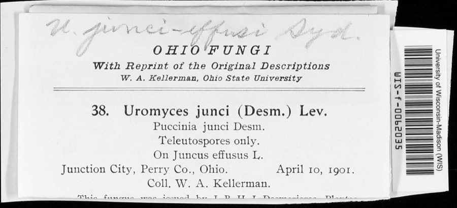
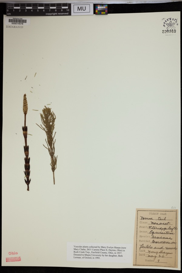
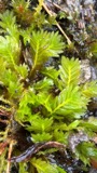
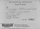
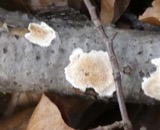
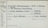
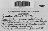
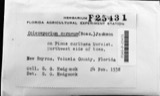
evidence. Museums hold 224 specimens
collected within 10 miles of Saint Joseph's Catholic Church between 1891 and
1975: 192 Animalia, 20 Fungi, 9 Plantae, 2 Unrecorded, 1 Protozoa. 12 distinct Species records are shown.
Collected by Bergstrom, J., Black R. J., Buchanan, J. and others. Each is a
physical object with a catalogue
number, and each entry opens the museum's record. This is what was
collected and kept, not a survey of what lives here - nothing can be
concluded from a species being absent.
Regional context, not property-specific
evidence. The federal mineral resources record lists
6 workings within 5 miles of Saint Joseph's Catholic Church: 6 past producers.
None of them still produces. What was taken out: Clay, Clay, Coal, Limestone, General. Distance is straight-line from the
map coordinates, so a quarry counted here may appear on a neighbouring
settlement's page as well.
Regional context, not property-specific
evidence. The National Weather Service names
Somerset, the town this property stands in, in 44 storm reports between 1995 and 2026: 31 thunderstorm wind, 11 hail, 1 heavy rain, 1 flash flood.
No death or injury is recorded in these reports. Each account below is quoted exactly as the forecast office
filed it, from the NOAA Storm Events Database, and each date
opens the federal record of that event.
In Somerset, a tree was blown down on State Route 757. Another downed tree was observed blocking a lane of Township Road 45 outside the town limits of Somerset.
A couple of trees were blown down onto Otterbein Road in Somerset. As the storm continued through the township, more trees and power lines were blown down.
1 paper published in this town,
digitised by the Library of Congress and free to read: 0 issues,
0 pages. Every page is searchable, so a name or a street can be
looked for directly in what the town printed about itself at the time.
No historic map-sheet match is published
for this property yet. That does not mean no map exists. This record needs
a coordinate-quality review before it can be joined to a sheet boundary.
Browse the county's mapped places while that work is
pending.
Named in the fire insurance atlases
Sanborn surveyors printed an index of the
town's establishments at the front of each atlas. This property is named in
one, read straight off the scanned sheet.
When this property was proposed for the
National Register, someone wrote the case for it: what the building is,
and why it matters. That document is a federal record in the public domain.
It is quoted below word for word, never summarised. The text was read off the scanned case file by machine, so the
occasional stray character is the recogniser's and the 1970s
typewriter's.
Description of the property
openings with simple tracery and a quatrefoil motif in each central foil. leads to the narthex, to either side of which are confessionals.The baptismal St.Joseph's was constructed in the prevalent style of the first Gothic Window and door openings are all lancet-shaped with stone hoods and sills. has a cyma recta coping and simulated crenellation with stone sills.The Revival and consists of a narthex, nave, chancel, apse and sacristy/museum. fair containing grave markers of many early parishioners of St.Joseph's-most location of the foundation of the priory. St.Joseph's Roman Catholic Church is situated on a rise above State Route The cornerstone of St.Joseph's Church was laid on July 4,1839 and the font stands near the north wall.
These reflect the shape of the former The foundation is laid in dressed coursed painted sandstone in the front and - good especial ly members of the Dittoe and Finck familles - adds further to the Stone capped buttresses are south, were demolished in 1975.Large stone blocks remain which delineate the to the south; and statuary in the front lawn; complete the setting of the setting.Foundation stones and a root cellar built into the side of the hill steeple, which was destroyed by fire in January 1864.The tower parapet wall capped with painted stone pinnacles. contained 40 stalls in two tiers and of hand carved oak.Its medieval building was opened on August 4,1843.In 1842 Father Joseph Sadoc Alemany, the facade and common bond in the side walls.S OMB No.
1024-0018 United States Department of the Interior Far NPS use only St. Joseph's Catholic Church, Somerset, vic., Perry County, Ohio and Company, Fort Wayne, Indiana. Von Gerichten Art Glass Company of Columbus, Ohio.
(in one paragraph) urging that a priest be sent of Ohio to establish a church.Between July and thus an example of the high Gothic revival of the second half of the 1800s. religion mid-i9th century.Its plan was the work of an Ohio architect, Thomas Spare. Areas of Significance-Check and justify below _education sculpture -military _music treatment dating from 1860s. Each series of interior changes, including those made in the 1950s, has not negatively impacted the church's integrity and St. Joseph's, shows characteristics which belongs to the earl ier of these two periods, yet shows an early example (as compared to Lima, near Springfleld, Kentucky. St.
Rose was the Mother Convent of the not replaced, is very likely quite similar to the appearance the church Period law represent contemporary interpretation of the Gothic mode in religious 19th-century Roman Catholic churches in the state.Eleven churches in the Dominicans in America.Father Fenwick had helped to establish it in about County; and Bishop John Carroll of Maryland.Dittoe wrote to the bishop survey date from 1848 to 1877;each exhibits the Romaqnesque type of Gothic rib vaulting. NPS Form 10-900-a OMB No. 1024-0018 United States Department of the Interior Inventory - Nomination Form date enfered St.
Joseph's Catholic Church, Somerset, vic., Perry County, Ohio Joseph's Church, were constructed a 22 x 18 foot log church and a house, the which would later be dedicated in the Diocese of Cincinnati. Beginning in 1819 Father Fenwick and his nephew, Father Young, opened a series Cincinnati (1819); St. Barnabas, Morgan County (ca. 1822); St. Thomas, Zanesville (ca. 1823); St. John's, Canton (1824); St. Paul's, Dungannon (1824); St. Luke's, Danville (1824); St. Dominic, Temperanceville (ca. 1825); Holy Trinity, Somerset (1827); St. Pius, now St. Patrick, Steubenville (1832); St. Patrick, Junction City (1833); St. Louis Bertrand, Perry County (1833).
Quoted from the National Register nomination
for reference 86002267, 37 pages, held by the National Archives in Record
Group 79. See the
catalogue record.
Listed places nearby
6 within 8 miles
Other National Register properties close
enough to walk or drive between, ordered by distance from this one. Both
positions come from the same geocoding pass that matched these properties
to their map sheets.
Listing record. National Park Service National Register of Historic Places, listed-properties dataset, current to 2026-05-22.
Map join. Address geocoded through the United States Census geocoder, then tested against the published boundary of every sheet in the USGS Historical Topographic Map Collection.
How this page is made. Listing fields come from federal records; map-sheet coverage is a labelled coordinate-to-boundary calculation, not a source-field claim.
Wildfire. Short, Karen C. 2022. Spatial wildfire occurrence data for the United States, 1992-2020 [FPA_FOD_20221014]. 6th Edition. Fort Collins, CO: Forest Service Research Data Archive. https://doi.org/10.2737/RDS-2013-0009.6 Collected with United States Government funding and usable without additional permissions or fees.
Specimens. Global Biodiversity Information Facility (GBIF), https://www.gbif.org/. Only records licensed CC0 or CC BY are used. Records licensed CC BY-NC are excluded because this site carries advertising. Images are checked individually and any whose licence is non-commercial, no-derivatives or unreadable is refused.
Mines and quarries. USGS Mineral Resources Data System (MRDS) https://mrdata.usgs.gov/mrds/ A work of the United States government, no copyright under 17 U.S.C. 105.
Storms. NOAA National Centers for Environmental Information, Storm Events Database https://www.ncei.noaa.gov/stormevents/ A work of the United States government, no copyright under 17 U.S.C. 105. Narratives are quoted verbatim from the National Weather Service report and are not edited or summarised.
 Block
Block