Listed on the National Register of Historic Places in
1978. A historic map-sheet match is not published yet. The record needs a coordinate-quality review before it can be joined to a sheet boundary.
From the record
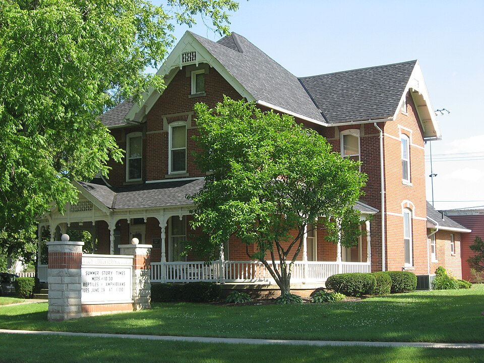
“The John Edwards House is a historic building in the village of Leipsic in Putnam County, Ohio, United States. Main Street, the house is a fine example of Victorian architecture.”
Wikipedia article John Edwards House, CC BY-SA 4.0.
one of 7 National Register listings in Putnam County · listed in 1978 · category: Building.
National Register reference number.78002177- the number the National Park Service assigned this property when it was listed, and the key its nomination file is catalogued under at the National Archives.
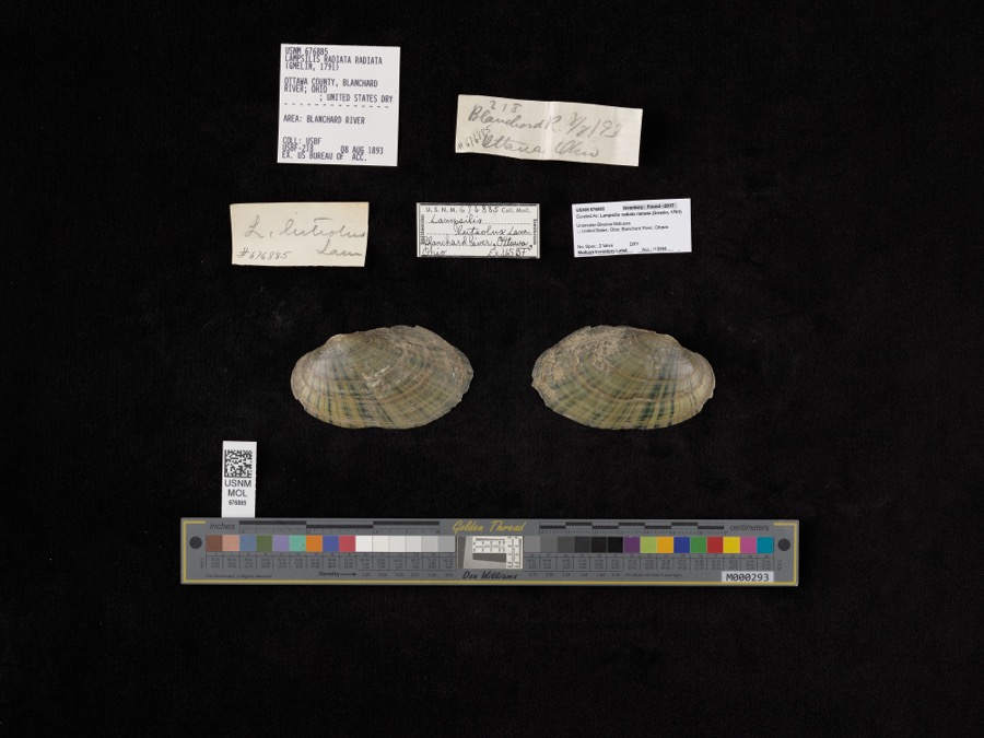
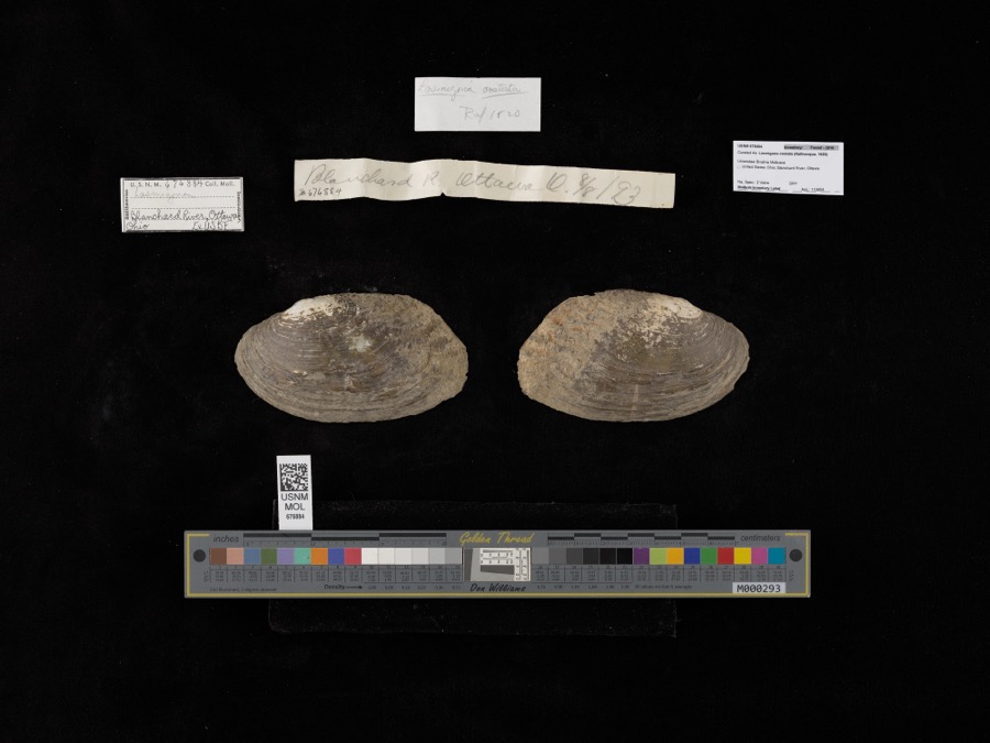
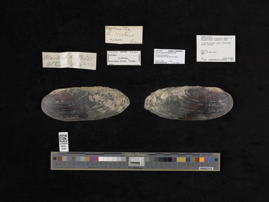
Specimens collected near this property
12 of 88 shown
Regional context, not property-specific
evidence. Museums hold 88 specimens
collected within 10 miles of Edwards, John, House between 1860 and
1969: 80 Animalia, 8 Plantae. 12 distinct Species records are shown.
Collected by Adler, K. K., Blyth & Katz, Bureau of Fisheries and others. Each is a
physical object with a catalogue
number, and each entry opens the museum's record. This is what was
collected and kept, not a survey of what lives here - nothing can be
concluded from a species being absent.
Regional context, not property-specific
evidence. The National Weather Service names
Leipsic, the town this property stands in, in 14 storm reports between 1997 and 2026: 11 thunderstorm wind, 3 hail.
The reports record 1 injury. Each account below is quoted exactly as the forecast office
filed it, from the NOAA Storm Events Database, and each date
opens the federal record of that event.
ONE MAN ENDED UP PARALYZED WHEN A LARGE TREE LIMB FELL ONTO HIS CAR. COUNTLESS LARGE TREES WERE BLOWN DOWN ACROSS THE COUNTY. ONE HOUSE AND TWO BARNS WERE DESTROYED ON ROAD J-3 AND ROAD K. ANOTHER TWO STORY HOUSE COMPLETELY LOST ITS UPPER FLOOR. ANOTHER BARN ALONG ROAD 7-D AND X WAS FLATTENED WHILE THE LEPSIC ELEMENTARY SCHOOL SUSTAINED EXTENSIVE DAMAGE TO ITS ROOF AND WATER DAMAGE TO THE INTERIOR.
A trained spotter reported a small field of sweet corn being flattened by the winds. In addition, a maple tree fell onto a power line on County Road 8.
No historic map-sheet match is published
for this property yet. That does not mean no map exists. This record needs
a coordinate-quality review before it can be joined to a sheet boundary.
Browse the county's mapped places while that work is
pending.
From the nomination file
1,945 words on record
When this property was proposed for the
National Register, someone wrote the case for it: what the building is,
and why it matters. That document is a federal record in the public domain.
It is quoted below word for word, never summarised. The text was read off the scanned case file by machine, so the
occasional stray character is the recogniser's and the 1970s
typewriter's.
Description of the property
the porch is a gazebo-type turret with an unusual "Hershey Kiss" imbricated slate roofel also elaborate. The gazebo porch is balanced with a large window on the first floor. DATE Carved decorations stencilled ceilings. with recessed symmetrical wings.Delicate spoolwork in a carved and paneled bargeboard elegant living that has almost vanished. This window has stained glass in the transom to catch the morning sun. Upstairs the bathroom which was put in when the house was built remains as it looked pattersn.The floors throughout the house are parquet wood of different patterns. transom.To its right and at the foot of the stairs is an etched glass garnet window.i is repeated several times on the porch roof.The corbelled chimney adds a balancing touch.
marshall to adapt the building for a library and cultural center for the village, federal specifications and regulations recommended a steel doorway at the top of the All the windows on the second floor have label moldings that interconnect.The one-story When plans were proposed to the state fire porch.Under the gable is a pair of round arched windows with carved lintels and label by ivy.Directly behind this projecting gable of the east side of the house is the -RUINS AREAS OF
Statement of significance
east of Leipsic, a town which had just been platted in 1857. In the midst of the Old 1700-1799 LAW BUILDER/ARCHITECT 1900- PERIOD AGRICULTURE THEATER PHILOSOPHY SCULPTURE MILITARY INDUSTRY _COMMUNICATIONS The John Edwards is significant historically because this High Victorian mansion was TRANSPORTATION _ENGINEERING The big elm trees which were so abundant were made into barrels in which merchandise of The Edwards family also had substantial holdings in the National Lime and Stone Company, in Putnam County and one of the best in the state of Ohio before the turn of the century.
stone sidewalk was laid which gave Leipsic the honor of having the best impoyved street Putnam was one of the last counties to be settled in Ohio with the population of the XARCHITECTURE kind because it had a reputation of being liberal to its employeed and fair in its dealings. all kinds was placed for shipment on the railroads.After the timber was removed, the land in Putnam, Henry and Definace Counties by 1895. As a company it ranked first of its It is architecturally important because it is in a fine state of preservation of a former style of elegant living that was atypical for this frontier area of the Black Swamp.
John Edwards, one of the sons, built this home in 1894 on Defiance Street (now Main Street) -1600-1699 SOCIAL/HUMANITARIAN -1500-1599 _ECONOMICS 8 SIGNIFICANCE Black Swamp of northwest Ohio, the Edwards four sons in 1886 formed the Buckeye Stave _RELIGION - CONSERVATION - EDUCATION When Thomas and Isabella Edwards came to Putnam County in l86l, they settled on a farm _COMMERCE LITERATURE largest town set at 3,500 and Leipsicat about 2,000.in -1400-1499 _INVENTION the library to the public in 1978. - MUSIC ARCHEOLOGY-PREHISTORIC _COMMUNITY PLANNING with a payroll of $175,000 per year.
Quoted from the National Register nomination
for reference 78002177, 14 pages, held by the National Archives in Record
Group 79. See the
catalogue record.
Listed places nearby
5 within 8 miles
Other National Register properties close
enough to walk or drive between, ordered by distance from this one. Both
positions come from the same geocoding pass that matched these properties
to their map sheets.
Listing record. National Park Service National Register of Historic Places, listed-properties dataset, current to 2026-05-22.
Map join. Address geocoded through the United States Census geocoder, then tested against the published boundary of every sheet in the USGS Historical Topographic Map Collection.
How this page is made. Listing fields come from federal records; map-sheet coverage is a labelled coordinate-to-boundary calculation, not a source-field claim.
Specimens. Global Biodiversity Information Facility (GBIF), https://www.gbif.org/. Only records licensed CC0 or CC BY are used. Records licensed CC BY-NC are excluded because this site carries advertising. Images are checked individually and any whose licence is non-commercial, no-derivatives or unreadable is refused.
Storms. NOAA National Centers for Environmental Information, Storm Events Database https://www.ncei.noaa.gov/stormevents/ A work of the United States government, no copyright under 17 U.S.C. 105. Narratives are quoted verbatim from the National Weather Service report and are not edited or summarised.
 Block
Block