Listed on the National Register of Historic Places in
1976. A historic map-sheet match is not published yet. The record needs a coordinate-quality review before it can be joined to a sheet boundary.
From the record
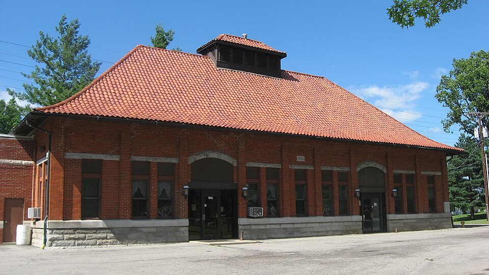
“The Ottawa Waterworks Building is a historic waterworks in eastern Ottawa, Ohio, United States. Built in 1904, it is Putnam County's oldest water pumping facility; as the first significant water-related public works project in Ottawa, it enabled the creation of a municipal water system in the village.”
Wikipedia article Ottawa Waterworks Building, CC BY-SA 4.0.
one of 7 National Register listings in Putnam County · listed in 1976 · category: Building.
National Register reference number.76001519- the number the National Park Service assigned this property when it was listed, and the key its nomination file is catalogued under at the National Archives.
What happened here
An account from the chapter on Ottawa township, The inset identifies its exact
source book and publication year.
In 1852, during the epidemic of cholera, Gilboa was the worst afflicted illage in the county. It had nineteen cases of the dread disease, from which fourteen deaths occurred, only five persons who had the disease recovering. A great many of the people fled from the village, and only two doctorsremained to administer to the afflicted.
Ottawa township was organized in March, 1835, with a limited number of people who had settled in the township during the previous two years. One of the first white settlers in the township was Geoi-ge Agner, who came here in the year 1832 and, the following year, settled on a farm east of Ottawa. William Galbreath settled on the farm adjoining Ottawa in the same year. Mr. Galbreath served in the War of 18 12 and was present at the battle of Fort Meigs. William and Jonathan Y. Sackett, Henry Crawfis, Meridith Parish, Henry Ridenour, James Parish and Christian Huber are numbered with the pioneers of this township.
The first school held in the township was taught by Christian Huber. It was held in a log cabin located northeast of the present waterworks of Ottawa. Mr. Huber was of German birth, well educated and took a prominent part in the early political affairs of the county. His pupils were a mixed assemblage of youths, a number of Indian boys being enrolled under him. The Indian boys, however, were loth to attend school regularly and frequently "played hookey," to hunt and fish.
Regional context, not property-specific
evidence. The
federal wildfire occurrence database
lists 4 fires within 5 miles of Ottawa Waterworks Building between
2002 and 2002, burning about 3 acres in total. None started naturally. None was recorded as arson.
Distance is straight-line from the map coordinates, so a fire counted
here may appear on a neighbouring settlement's page as well.
Reported cause
Fires
Recreation and ceremony
2
Equipment and vehicle use
1
Missing data/not specified/undetermined
1
The most recent of
them, most recent first, with the day each was reported and the service
that recorded it.
Regional context, not property-specific
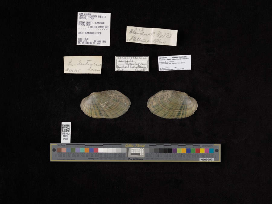
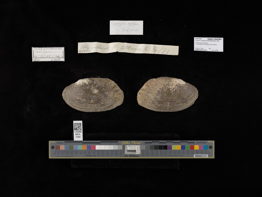
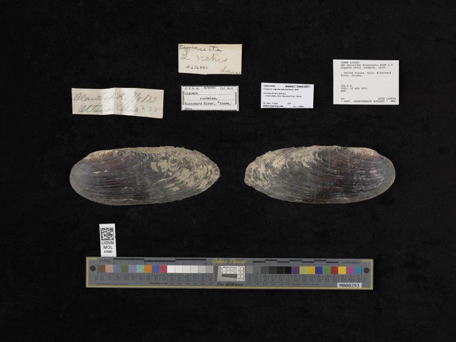
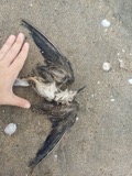
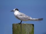
evidence. Museums hold 104 specimens
collected within 10 miles of Ottawa Waterworks Building between 1860 and
1969: 96 Animalia, 8 Plantae. 12 distinct Species records are shown.
Collected by Adler, K. K., Blyth & Katz, Bureau of Fisheries and others. Each is a
physical object with a catalogue
number, and each entry opens the museum's record. This is what was
collected and kept, not a survey of what lives here - nothing can be
concluded from a species being absent.
Regional context, not property-specific
evidence. The federal mineral resources record lists
3 workings within 5 miles of Ottawa Waterworks Building: 2 past producers, 1 producer.
1 still produces. What was taken out: Limestone, General, Stone, Crushed/Broken, Clay. Distance is straight-line from the
map coordinates, so a quarry counted here may appear on a neighbouring
settlement's page as well.
Regional context, not property-specific
evidence. The National Weather Service names
Ottawa, the town this property stands in, in 35 storm reports between 1993 and 2022: 18 thunderstorm wind, 13 hail, 3 flash flood, 1 dust devil.
The reports record 1 death. Each account below is quoted exactly as the forecast office
filed it, from the NOAA Storm Events Database, and each date
opens the federal record of that event.
Pictures and eyewitness reports confirmed a large dust devil developed on a clear and sunny day. This dust devil extended over 100 feet into the air as was easily visible. Local law enforceent officials did track the feature, with no damage being reported.
No historic map-sheet match is published
for this property yet. That does not mean no map exists. This record needs
a coordinate-quality review before it can be joined to a sheet boundary.
Browse the county's mapped places while that work is
pending.
From the nomination file
2,500 words on record
When this property was proposed for the
National Register, someone wrote the case for it: what the building is,
and why it matters. That document is a federal record in the public domain.
It is quoted below word for word, never summarised. The text was read off the scanned case file by machine, so the
occasional stray character is the recogniser's and the 1970s
typewriter's.
Description of the property
The one-story, red brick, rectangular waterworks building rests on a rough-cut The facade is divided into nine sections, the arrangement of which provides an windows, the next a large double size door, the next two windows and the center a datestone above the lintel. The large doorways have round arched, 4 pane A steeply pitched hip roof of red, curved tiles sweeps down over the structure and extends over the building by two feet. There is a centrally placed, louver-sided to give an oriental influence. To the left of the building is a one-story, flat-roofed, brick garage addition. the village and is readily accessible.
CONDITION UNEXPOSED UNALTERED EXCELLENT FAIR CHECK ONE middle.The outermost sections have a single window, the next inward has two lintel runs above each window between the pilasters.The centermost window has single door and irregularly spaced windows.To the left of the addition is a course is between the base course and the brick. Brick pilasters divide the The rear of the building has no pilasters.There is a shed-roofed addition The ends of the building are divided into three bays, each with two windows. surface of the front and side walls into rectangular sections of varying sizes.
The building is in a park which is centrally located in the near east side of sandstone foundation.This base course is 4'high.A smooth-cut stone belt window and a door.All windows and doors on this side are round arched. and finials at the edge of the ridgeline and edges of the cupola roof combine X ALTERED transoms above. A curved stone lintel outlines the transom and it, with the stone lintels of the windows, form a visually continuous band. The left door is a garage type while the right door is the original, wood paneled, double door. cupola with tile roof.
The building was originally constructed to house equipment, the operation of the It is felt that the planned restoration of the building, its intended use, the 1904 1500-1599 COMMERCE ECONOMICS LAW ARCHEOLOGY-HISTORIC THEATER EDUCATION PERIOD ENGINEERING AGRICULTURE BUILDER/ARCHITECT SCIENCE RELIGION SIGNIFICANCE XARCHITECTURE CONSERVATION SCULPTURE _COMMUNICATIONS INDUSTRY _PHILOSOPHY LITERATURE MILITARY -EXPLORATION/SETTLEMENT The Ottawa Waterworks Building was the first pumping station in Putnam to house pumps and related equipment for the industrial waterline system. with the National Register of Historic Places. County.It was the first major water improvement program in the Village recreation and for the beautification of this area.
residential and commercial users in Ottawa and vicinity.
contemplated improvements in the park area and the building's past and present value to health and welfare of the community at large warrants its registry the general public.It is hoped that the entire park in which the building of Ottawa and provided the first piped water to the residents.Architecturally -1400-1499 would be restored and used as a Senior Citizens Center and for the benefit of -1600-1699 almost at the corner of Fourth G Pratt Streets.The building itself was -1800-1899 lies may also eventually be renovated and restored to general public use and - SOCIAL/HUMANITARIAN built in 1904 under the direction of the first Board of Public Affairs for the The building lies in the Old Waterworks Park facing Third Street and lies -MUSIC XCOMMUNITY PLANNING the building is an interesting and well-planned example of a public building.
ARCHEOLOGY-PREHISTORIC - INVENTION It is the intent of the Village that should registry be approved that the building
Quoted from the National Register nomination
for reference 76001519, 19 pages, held by the National Archives in Record
Group 79. See the
catalogue record.
Listed places nearby
6 within 8 miles
Other National Register properties close
enough to walk or drive between, ordered by distance from this one. Both
positions come from the same geocoding pass that matched these properties
to their map sheets.
Listing record. National Park Service National Register of Historic Places, listed-properties dataset, current to 2026-05-22.
Map join. Address geocoded through the United States Census geocoder, then tested against the published boundary of every sheet in the USGS Historical Topographic Map Collection.
How this page is made. Listing fields come from federal records; map-sheet coverage is a labelled coordinate-to-boundary calculation, not a source-field claim.
Wildfire. Short, Karen C. 2022. Spatial wildfire occurrence data for the United States, 1992-2020 [FPA_FOD_20221014]. 6th Edition. Fort Collins, CO: Forest Service Research Data Archive. https://doi.org/10.2737/RDS-2013-0009.6 Collected with United States Government funding and usable without additional permissions or fees.
Specimens. Global Biodiversity Information Facility (GBIF), https://www.gbif.org/. Only records licensed CC0 or CC BY are used. Records licensed CC BY-NC are excluded because this site carries advertising. Images are checked individually and any whose licence is non-commercial, no-derivatives or unreadable is refused.
Mines and quarries. USGS Mineral Resources Data System (MRDS) https://mrdata.usgs.gov/mrds/ A work of the United States government, no copyright under 17 U.S.C. 105.
Storms. NOAA National Centers for Environmental Information, Storm Events Database https://www.ncei.noaa.gov/stormevents/ A work of the United States government, no copyright under 17 U.S.C. 105. Narratives are quoted verbatim from the National Weather Service report and are not edited or summarised.
 Block
Block