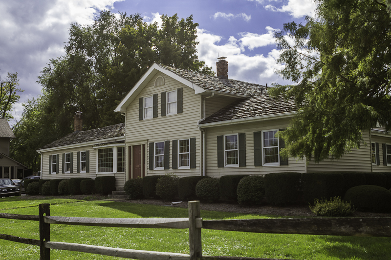
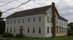
Listed on the National Register of Historic Places in
1979. A historic map-sheet match is not published yet. The record needs a coordinate-quality review before it can be joined to a sheet boundary.
From the record
one of 27 National Register listings in Medina County · listed in 1979 · category: Building.
National Register reference number.79001895- the number the National Park Service assigned this property when it was listed, and the key its nomination file is catalogued under at the National Archives.
Regional context, not property-specific
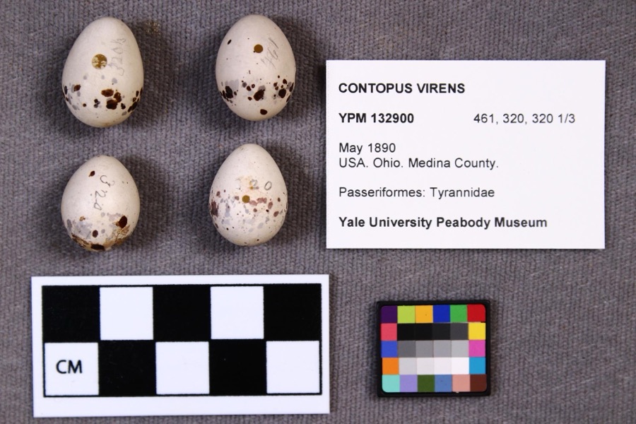
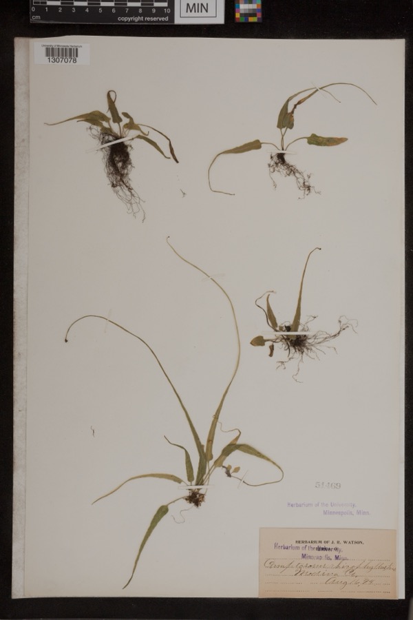
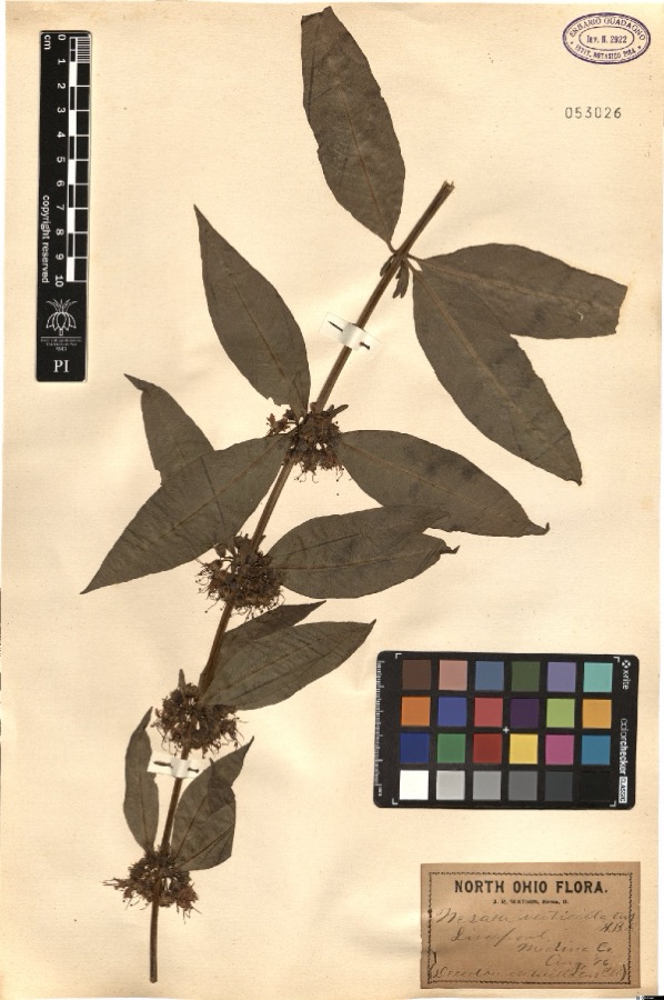
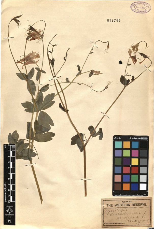
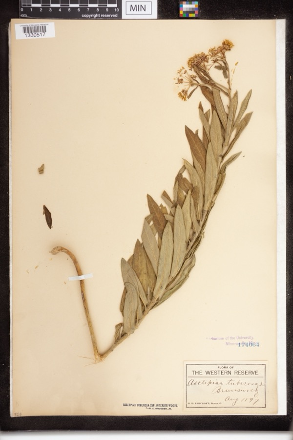
evidence. Museums hold 287 specimens
collected within 10 miles of Parmelee House between 1884 and
1975: 263 Animalia, 17 Plantae, 5 Fungi, 2 Protozoa. 12 distinct Species records are shown.
Collected by A. D. Huryn, A. Roberts, Ashcroft, G.B.; O. Berea and others. Each is a
physical object with a catalogue
number, and each entry opens the museum's record. This is what was
collected and kept, not a survey of what lives here - nothing can be
concluded from a species being absent.
Regional context, not property-specific
evidence. The National Weather Service names
Valley City, the town this property stands in, in 15 storm reports between 1999 and 2020: 11 thunderstorm wind, 3 hail, 1 tornado.
No death or injury is recorded in these reports. Each account below is quoted exactly as the forecast office
filed it, from the NOAA Storm Events Database, and each date
opens the federal record of that event.
A thunderstorm downbust with winds estimated to be as much as 85 mph caused extensive damage across the northern end of Medina County. The damage began west of Valley City along the county line and continued east across the Brunswick and Hinckley areas. The damage was most concentrated in Liverpool township where there was significant tree and power pole damage. Hundreds of trees were also downed in Brunswick and Hinckley. Many homes lost roofing or siding and a few were damaged by fallen trees. In Brunswick alone, there were 300 reports of damage with four homes sustaining structural damage and a fifth destroyed from a complete roof collapse caused by a fallen tree. There was also damage across Medina and Granger Townships but it wasn't as widespread. Many roads, including county and state routes were blocked by fallen trees and power lines. Several school districts in the county were closed on November 6th because of power outages. At the peak of the storm over 10,000 people were without power in Median County. It took a couple of days for power to be fully restored.
The tornado started as an EF0 in extreme eastern central Lorain County near the intersection of Island Road and Route 303. The tornado quickly became an EF1 in Medina County and tracked around 7 miles before lifting up near the intersection of Grafton and Marks Roads. Along the 7.3 mile path of the tornado, much of the damage was to trees that were knocked down or uprooted. Some shingle and mainly minor structure damage also occurred. A barn on Station Road was moderately damaged. The max path width was 200 yards and the maximum estimated speed was 94 mph. The tornado was on the ground approximately 7 minutes. Scattered downed trees and limbs observed east of this location was determined to be a result of straight line winds.
Thunderstorm downburst wind gusts of at least 60 mph downed at least trees in the Liverpool Township and Valley City areas. Trees were reported downed at residences on Columbia, Neff and Law Roads.
No historic map-sheet match is published
for this property yet. That does not mean no map exists. This record needs
a coordinate-quality review before it can be joined to a sheet boundary.
Browse the county's mapped places while that work is
pending.
From the nomination file
1,742 words on record
When this property was proposed for the
National Register, someone wrote the case for it: what the building is,
and why it matters. That document is a federal record in the public domain.
It is quoted below word for word, never summarised. The text was read off the scanned case file by machine, so the
occasional stray character is the recogniser's and the 1970s
typewriter's.
Description of the property
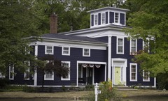
There was no change in interior floor plan associated with this alteration.T since this date.A recessed porch, also shown in the 1880 photograph, was converted 1900-1910 by the Bennetts (who purchased the house from the Parmelee family in 1900). approximately 15' to the west and added a one story wing extending to the north. Areas of Significance - Check and justify below - prehistoric _ archeology-historic .law _ science . agriculture . literature - sculpture _ architecture - military _ social/ .art - music X 1800-1899 _ commerce .exploration/settlement - philosophy The X industry - politics/government _transportation - other (specify) Specific dates 1852, 1865, 1870 Statement of
Statement of significance
(in one paragraph) The historical significance of this property is based on its association with the Parmelee family from 1856 to 1900. The Parmelee family were early settlers, principal landowners and major industrialists in the Liverpool (Valley City), Ohio area, The house is also of architectural significance having survived in generally original Originally built by George Goller in 1852, the house was obtained by Ashel S. Parmelee prominence as principal landowners and major, early industrialists. "Ashel Parmelee The offices for the mill were located directly east of the house across what is now at the mill, was produced by itinerant weavers who set up their looms in a large, open room on the second floor of the center section of the house.
The mill continued by his son (D.A.) until 1900 when it was sold to Messrs. Bennett and Kingzett. The the property from Mr. Brown in July, 1978. The house, along with the mill and mill office, are illustrated in the Medina County Atlas of 1874. While the architectural detail and scale of the property represent a generally modest survival with relatively high degree of originality of a frame structure of this general While Greek Revival houses having a general plan of a one and a half story section with adjoining one story wings represent a common type, most of the frame examples in this relatively high degrees of originality, are brick examples of the same form.
invention 1700-1799 economics 1400-1499 Period communications Builder/Architect 1600-1699 1500-1599 conservation humanitarian engineering 1900- 8. Significance Parmelee's principal enterprise was the Liverpool Flouring Mill and Woolen Factory. area particularly Liverpool Twp.(northwest Medina County),have suffered significant February,1900 issue of "The Valley City Visitor"reports in an advertisement the opening education -archeology-prehistoric - community planning in 1856.
Quoted from the National Register nomination
for reference 79001895, 10 pages, held by the National Archives in Record
Group 79. See the
catalogue record.
Listed places nearby
6 within 8 miles
Other National Register properties close
enough to walk or drive between, ordered by distance from this one. Both
positions come from the same geocoding pass that matched these properties
to their map sheets.
Listing record. National Park Service National Register of Historic Places, listed-properties dataset, current to 2026-05-22.
Map join. Address geocoded through the United States Census geocoder, then tested against the published boundary of every sheet in the USGS Historical Topographic Map Collection.
How this page is made. Listing fields come from federal records; map-sheet coverage is a labelled coordinate-to-boundary calculation, not a source-field claim.
Specimens. Global Biodiversity Information Facility (GBIF), https://www.gbif.org/. Only records licensed CC0 or CC BY are used. Records licensed CC BY-NC are excluded because this site carries advertising. Images are checked individually and any whose licence is non-commercial, no-derivatives or unreadable is refused.
Storms. NOAA National Centers for Environmental Information, Storm Events Database https://www.ncei.noaa.gov/stormevents/ A work of the United States government, no copyright under 17 U.S.C. 105. Narratives are quoted verbatim from the National Weather Service report and are not edited or summarised.
 Block
Block