 Block
BlockFrom the record
one of 14 National Register listings in Highland County · listed in 1979 · category: District.
Sources: the case file at the National Archives · the National Register database, National Park Service

Listed on the National Register of Historic Places in 1979. A historic map-sheet match is not published yet. The record needs a coordinate-quality review before it can be joined to a sheet boundary.
one of 14 National Register listings in Highland County · listed in 1979 · category: District.
Sources: the case file at the National Archives · the National Register database, National Park Service
Regional context, not property-specific evidence. The federal wildfire occurrence database lists 13 fires within 5 miles of Barretts Mills (Boundary Increase) between 2003 and 2018, burning about 44 acres in total. None started naturally. 2 were recorded as arson. Distance is straight-line from the map coordinates, so a fire counted here may appear on a neighbouring settlement's page as well.
| Reported cause | Fires |
|---|---|
| Missing data/not specified/undetermined | 6 |
| Debris and open burning | 5 |
| Arson/incendiarism | 2 |
The most recent of them, most recent first, with the day each was reported and the service that recorded it.
| Date | Cause | Size | Reported by | Name on the report |
|---|---|---|---|---|
| 5 April 2006 | Missing data/not specified/undetermined | 1.0 acres | Ohio Department of Natural Resources | not named |
| 12 April 2006 | Arson/incendiarism | under an acre | Ohio Department of Natural Resources | not named |
| 12 April 2006 | Debris and open burning | under an acre | Ohio Department of Natural Resources | not named |
| 19 March 2018 | Debris and open burning | 2.0 acres | Ohio Department of Natural Resources | 12505 |
| 16 March 2003 | Debris and open burning | under an acre | Ohio Department of Natural Resources | not named |
| 27 February 2006 | Arson/incendiarism | under an acre | Ohio Department of Natural Resources | not named |
| 17 February 2011 | Debris and open burning | 3.0 acres | Ohio Department of Natural Resources | not named |
| 27 November 2006 | Missing data/not specified/undetermined | under an acre | Ohio Department of Natural Resources | not named |
Regional context, not property-specific evidence. Museums hold 965 specimens collected within 10 miles of Barretts Mills (Boundary Increase) between 1876 and 1975: 536 Animalia, 358 Fungi, 58 Plantae, 10 Protozoa, 3 Unrecorded. 12 distinct Species records are shown. Collected by 14505, 14519, 14555 and others. Each is a physical object with a catalogue number, and each entry opens the museum's record. This is what was collected and kept, not a survey of what lives here - nothing can be concluded from a species being absent.
| Image | Species | Year | Collected by | Where, as recorded |
|---|---|---|---|---|
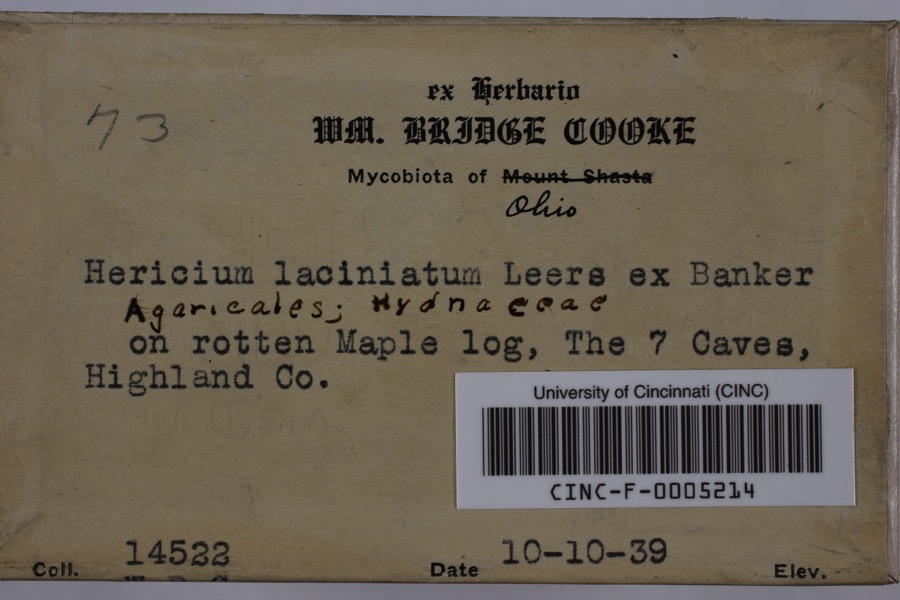 | Hericium coralloides (Scop.) Pers. | 1939 | Cooke, William Bridge | Seven Caves (Highlands Nature Sanctuary) |
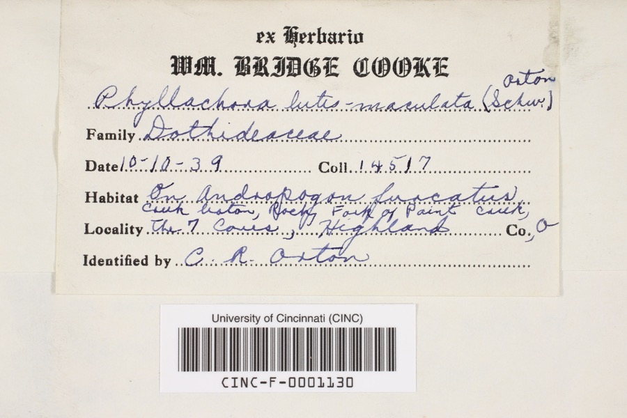 | Phyllachora luteomaculata (Schwein.) Orton | 1939 | Cooke, William Bridge | Rocky Fork of Paint Creek at 7 Caves |
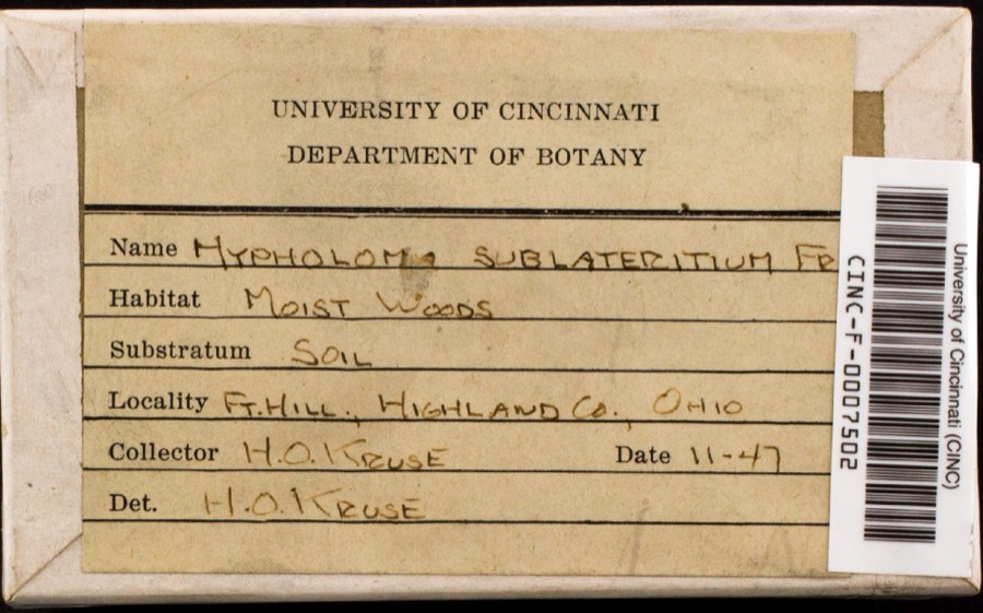 | Hypholoma lateritium (Schaeff.) P.Kumm. | 1947 | Keuse, H.O. | Fort Hill |
 | Cordyceps militaris (L.) Link | 1876 | W. B. Cooke | Fort Hill State Memorial |
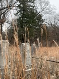 | Andropogon gerardi Vitman | 1910 | Hopkins, L.S. | Paint Creek |
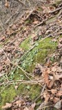 | Asplenium rhizophyllum L. | 1910 | Hopkins, L.S. | "Caves" Paint Creek |
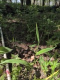 | Brachyelytrum erectum (Schreb.) P.Beauv. | 1910 | Hopkins, L.S. | Paint Creek |
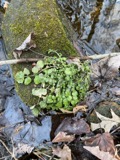 | Cardamine pensylvanica Muhl. ex Willd. | 1910 | Hopkins, L.S. | Paint Creek |
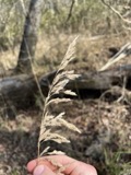 | Cinna arundinacea L. | 1910 | Hopkins, L.S. | Panel Creek |
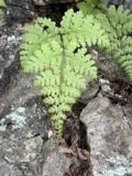 | Cystopteris bulbifera (L.) Bernh. | 1910 | Hopkins, L.S. | Careo, Paint Creek |
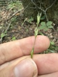 | Diarrhena americana P.Beauv. | 1910 | Hopkins, L.S. | Point Creek |
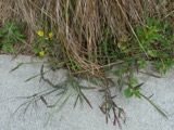 | Digitaria sanguinalis (L.) Scop. | 1910 | Hopkins, L.S. | Paint Creek |
All 965 specimens within 10 miles, at the Global Biodiversity Information Facility.
Regional context, not property-specific evidence. The federal mineral resources record lists 1 working within 5 miles of Barretts Mills (Boundary Increase): 1 past producer. None of them still produces. What was taken out: Limestone, General. Distance is straight-line from the map coordinates, so a quarry counted here may appear on a neighbouring settlement's page as well.
| Where | Site | Commodity | Status | Recorded |
|---|---|---|---|---|
| Bainbridge Quarry | Limestone, General | Past Producer | Sedimentary |
Regional context, not property-specific evidence. The National Weather Service names Rainsboro, the town this property stands in, in 5 storm reports between 1995 and 2015: 3 thunderstorm wind, 1 hail, 1 flash flood. No death or injury is recorded in these reports. Each account below is quoted exactly as the forecast office filed it, from the NOAA Storm Events Database, and each date opens the federal record of that event.
| When | Event | Place named | Harm | What the report says |
|---|---|---|---|---|
| February 2011 | Thunderstorm Wind | Rainsboro | $2,000 | Trees and power lines were reported down due to damaging thunderstorm winds. |
| June 2015 | Thunderstorm Wind | Rainsboro | $1,000 | A one and a half foot diameter tree was snapped. |
| July 2013 | Thunderstorm Wind | Rainsboro | $1,000 | One tree was downed on Karnes Road due to thunderstorm winds. |
| June 2015 | Flash Flood | Rainsboro | - | High water was on Route 753. |
| June 1995 | Hail | Rainsboro | - | no account filed |
No historic map-sheet match is published for this property yet. That does not mean no map exists. This record needs a coordinate-quality review before it can be joined to a sheet boundary. Browse the county's mapped places while that work is pending.
When this property was proposed for the National Register, someone wrote the case for it: what the building is, and why it matters. That document is a federal record in the public domain. It is reproduced in full on its own page, word for word and never summarised. The text was read off the scanned case file by machine, so the occasional stray character is the recogniser's and the 1970s typewriter's.
The whole case file for this property - 2,029 words, 15 pages, reproduced complete.
Quoted from the National Register nomination for reference 79003168, 15 pages, held by the National Archives in Record Group 79. See the catalogue record.
Other National Register properties close enough to walk or drive between, ordered by distance from this one. Both positions come from the same geocoding pass that matched these properties to their map sheets.
| Photograph | Property | Distance | Listed |
|---|---|---|---|
| Barretts Mills | under 500 feet | 1972 | |
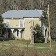 | Eubanks-Tytus House | 3.9 miles | 1979 |
| National Archives record | The nomination case file for reference 79003168 in Record Group 79. |
| Highland County | All 14 listed properties in this county. |