Listed on the National Register of Historic Places in
1982. A historic map-sheet match is not published yet. The record needs a coordinate-quality review before it can be joined to a sheet boundary.
From the record
“Jonathan Starkey, who resided about a mile east of the present town of Adamsville, was appointed Postmaster by President John Q, Adams, in 1827, and in 1829, was removed by President Andrew Jackson, and Henry Bainter, of Monroe township, appointed. This change caused great dissatisfaction, and in 1835, Jared Cone was appointed at Adamsville.”
History of Muskingum County, Ohio, with Illustrations and Biographical Sketches of Prominent Men and Pioneers (1882). Machine-read text.
one of 70 National Register listings in Muskingum County · listed in 1982 · category: Building.
National Register reference number.82003620- the number the National Park Service assigned this property when it was listed, and the key its nomination file is catalogued under at the National Archives.
Mr.Sutherland Stiers, a reliable citizen, residing on section eight, one mile south of Adamsville, relates that in 1868 he cut. down a large white oak tree for rails, and found within the body of the tree a number of distinct marks, successivelv one above the other, appearing to have been made for the purpose of a "blaze." or road-mark
The first church was a small hewed log structure that stood just east of the present village of Adamsville, and was builtin 1822 ; in 1838, it was removed, and a building, 40x60 feet, erected, at a cost of $1,000. In 1872, this building was taken down, and a new frame,-36x52 feet, erected in its place, at a cost of $2,500.
Regional context, not property-specific
evidence. The
federal wildfire occurrence database
lists 12 fires within 5 miles of Denison, William, House between
2012 and 2020, burning about 34 acres in total. None started naturally. None was recorded as arson.
Distance is straight-line from the map coordinates, so a fire counted
here may appear on a neighbouring settlement's page as well.
Reported cause
Fires
Missing data/not specified/undetermined
5
Debris and open burning
5
Power generation/transmission/distribution
1
Equipment and vehicle use
1
The most recent of
them, most recent first, with the day each was reported and the service
that recorded it.
Regional context, not property-specific
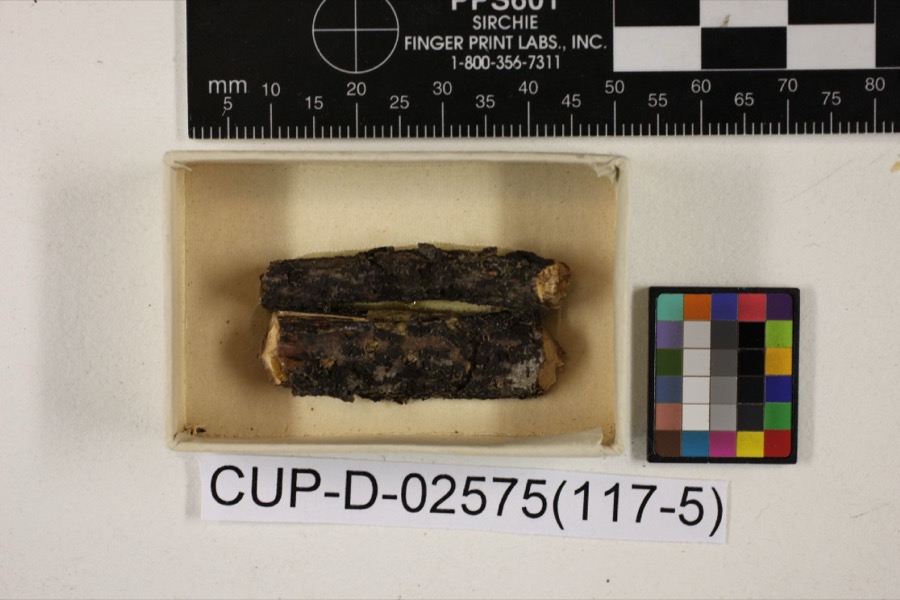
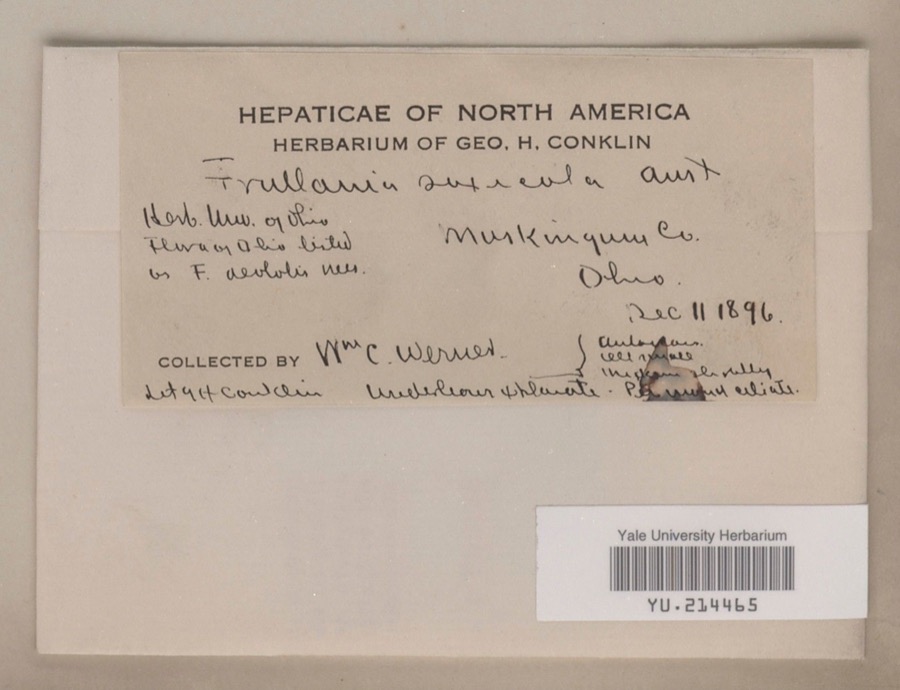
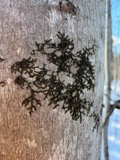
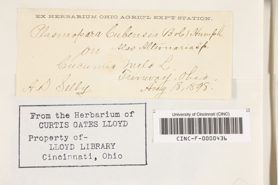
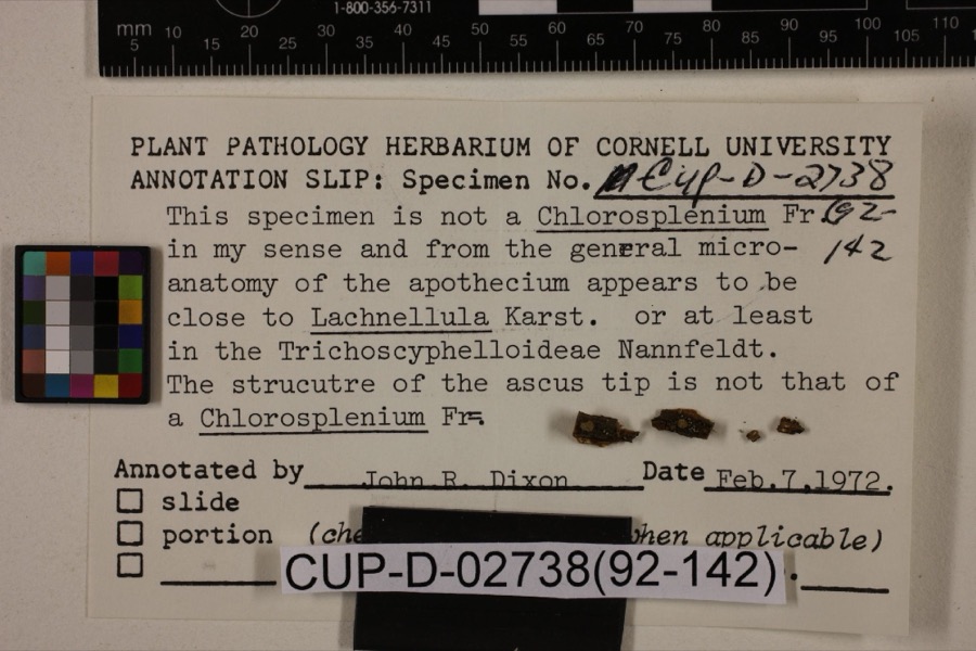
evidence. Museums hold 1,658 specimens
collected within 10 miles of Denison, William, House between 1866 and
1975: 1,305 Animalia, 330 Plantae, 15 Fungi, 7 Unrecorded, 1 Chromista. 12 distinct Species records are shown.
Collected by A. H. Wright, A. Spreitzer, Adams, W. and others. Each is a
physical object with a catalogue
number, and each entry opens the museum's record. This is what was
collected and kept, not a survey of what lives here - nothing can be
concluded from a species being absent.
Regional context, not property-specific
evidence. The federal mineral resources record lists
1 working within 5 miles of Denison, William, House: 1 past producer.
None of them still produces. What was taken out: Sand and Gravel, Construction. Distance is straight-line from the
map coordinates, so a quarry counted here may appear on a neighbouring
settlement's page as well.
Regional context, not property-specific
evidence. The National Weather Service names
Adamsville, the town this property stands in, in 9 storm reports between 1998 and 2025: 6 thunderstorm wind, 2 hail, 1 flash flood.
No death or injury is recorded in these reports. Each account below is quoted exactly as the forecast office
filed it, from the NOAA Storm Events Database, and each date
opens the federal record of that event.
No historic map-sheet match is published
for this property yet. That does not mean no map exists. This record needs
a coordinate-quality review before it can be joined to a sheet boundary.
Browse the county's mapped places while that work is
pending.
From the nomination file
1,683 words on record
When this property was proposed for the
National Register, someone wrote the case for it: what the building is,
and why it matters. That document is a federal record in the public domain.
It is quoted below word for word, never summarised. The text was read off the scanned case file by machine, so the
occasional stray character is the recogniser's and the 1970s
typewriter's.
Description of the property
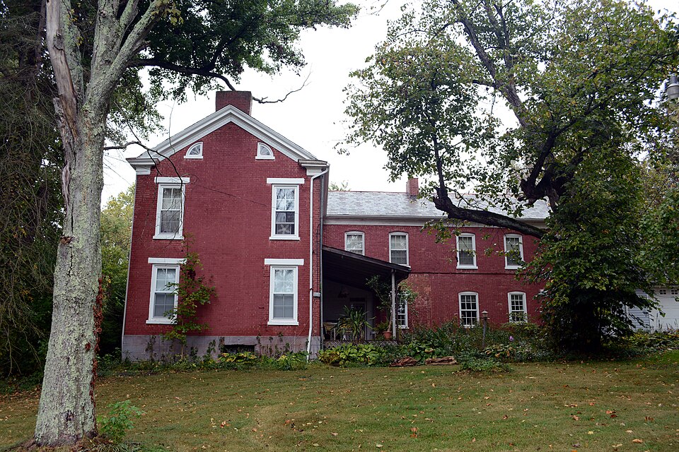
The William Denison House is a 2 1/2 story L-shaped brick structure set on a foundation of tooled sandstone and covered with a polychromic slate gabled In plan, the main part of the house is a central hallway I-house, 2 rooms Revival style of the house, features a trabeated doorway with glazed transom The main part of the house is laid in Flemish bond, extremely rare for this part which terminates in a partial return in each gable end. Originally each gable end had quarter-round fanlights (not atypical of the earlier Federal period); to accommodate a growing family. and vandalism has taken some toll, although much of the simple Greek Revival and windows are trimmed with molded frames and bull's-eye cornerblocks. c. 100' northeast of the house.
The finest outbuilding by far is a bank barn Condition ruins unexposed stone piers.Several joists run the entire length of the structure. 7. Description The interior of the house has suffered most over the years. Tenant occupancy Denison married late in life and had 3 children many years after he built his of Ohio, especially as late as the 1840s; the rest of the house features conventional architectural remnants of his life here.A very small brick smoke house stands Check one and sidelights.The door is set off from the sidelights by fluted pilasters. Denison once owned 15o0 acres; the nominated property includes only the - unaltered those on the west gable end were removed at some point.
Presently the house features a long 2-story ell, however, extant window form suggests that this has been changed, probably from a smaller, 1-story kitchen ell. All windows are The addition, suggesting Italianate window proportions, might have been deteriorated house. over two, with a symmetrical 5-bay facade.
(in one paragraph) The William Denison House is nominated for its architecture, embodying many of the physical characteristics of the Greek Revival, and as the first brick house from the fact that its builder was the benefactor for whom Denison University in Granville, Ohio, was named. Architecturally, the house combines the traditional folk house plan of an The centered doorway with transom and sidelights, the exclusive use of trabeated voids on the original section, and the gable treatment with the partial cornice the township when it was built, and even today is anomalous in Salem Township, an area which is dotted with vernacular wood frame farmhouses.
William Denison's father had received 200 acres for his service during the planted the first orchard and built the first frame house in the township in 1820. he built his brick dwelling, the first of its kind in Salem Township. In 1853, he agreed to donate $10,000 to Granville College if the institution would be i county history published after his death heralds William Denison as being 1700-1799 1600-1699 commerce economics 8.
Significance communications 1400-1499 1500-1599 industry engineering art exploration/settlement invention humanitarian science military "widely known as a man of broad humanitarian spirit, generous impulses, and helpful 1900- Specific dates renege on his offer; the case was finally decided in court during the Civil War, X_1800-1899 Areas of Significance-Check and justify below _ archeology-prehistoric - - community planning _ landscape architecture - religion Sconstructed in Salem Township. Further, the property derives considerable significance I-house with Greek Revival ornament still in vogue at the time of its construction. return and fascia ornament all are characteristic of the Classical Revival in the midwest.
His son, William (1794-1880) probably lived in the frame house until 1841, when named in his honor.
Quoted from the National Register nomination
for reference 82003620, 10 pages, held by the National Archives in Record
Group 79. See the
catalogue record.
Listed places nearby
4 within 8 miles
Other National Register properties close
enough to walk or drive between, ordered by distance from this one. Both
positions come from the same geocoding pass that matched these properties
to their map sheets.
Listing record. National Park Service National Register of Historic Places, listed-properties dataset, current to 2026-05-22.
Map join. Address geocoded through the United States Census geocoder, then tested against the published boundary of every sheet in the USGS Historical Topographic Map Collection.
How this page is made. Listing fields come from federal records; map-sheet coverage is a labelled coordinate-to-boundary calculation, not a source-field claim.
Wildfire. Short, Karen C. 2022. Spatial wildfire occurrence data for the United States, 1992-2020 [FPA_FOD_20221014]. 6th Edition. Fort Collins, CO: Forest Service Research Data Archive. https://doi.org/10.2737/RDS-2013-0009.6 Collected with United States Government funding and usable without additional permissions or fees.
Specimens. Global Biodiversity Information Facility (GBIF), https://www.gbif.org/. Only records licensed CC0 or CC BY are used. Records licensed CC BY-NC are excluded because this site carries advertising. Images are checked individually and any whose licence is non-commercial, no-derivatives or unreadable is refused.
Mines and quarries. USGS Mineral Resources Data System (MRDS) https://mrdata.usgs.gov/mrds/ A work of the United States government, no copyright under 17 U.S.C. 105.
Storms. NOAA National Centers for Environmental Information, Storm Events Database https://www.ncei.noaa.gov/stormevents/ A work of the United States government, no copyright under 17 U.S.C. 105. Narratives are quoted verbatim from the National Weather Service report and are not edited or summarised.
 Block
Block