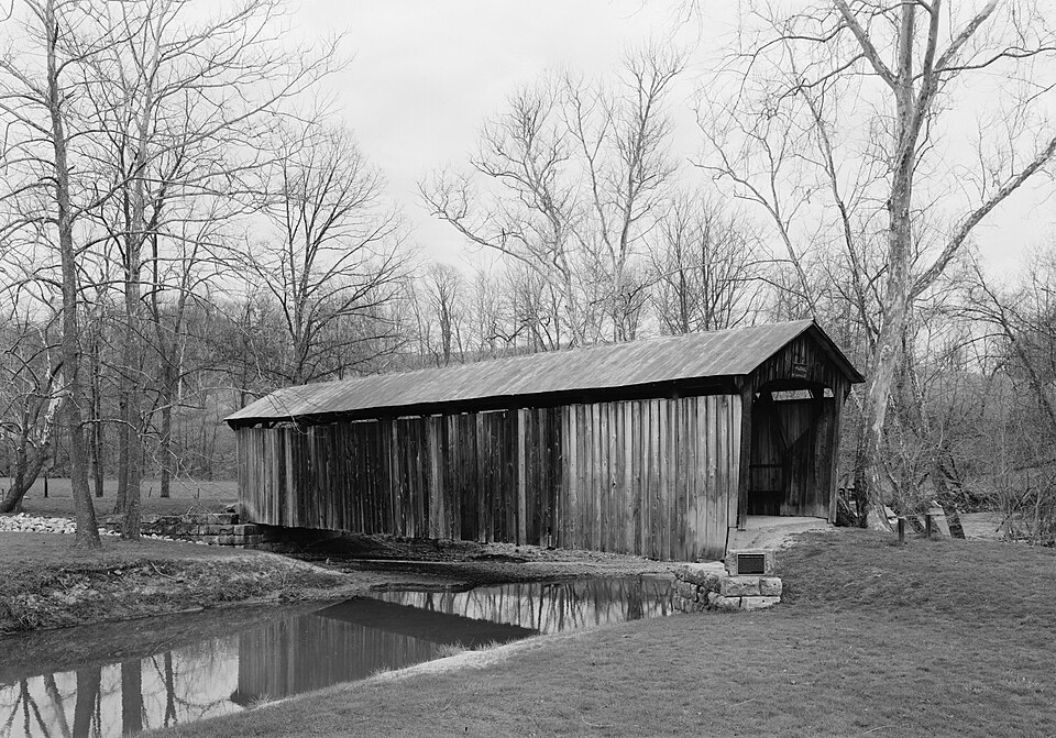
Built in 1876. Listed on the National Register of Historic Places in
1974. A historic map-sheet match is not published yet. The record needs a coordinate-quality review before it can be joined to a sheet boundary.
From the record
“The Salt Creek Covered Bridge, near Norwich in Perry Township, Muskingum County, Ohio, was built in 1876. It was listed on the National Register of Historic Places in 1974.”
Wikipedia article Salt Creek Covered Bridge, CC BY-SA 4.0.
one of 70 National Register listings in Muskingum County · listed in 1974 · category: Structure · built in 1876.
National Register reference number.74001587- the number the National Park Service assigned this property when it was listed, and the key its nomination file is catalogued under at the National Archives.
Jesse P. Hatch was Captain. He was a graduate in the Military School of Norwich, Vermont, under Captain Partridge. The company was, therefore, in good hands, and soon acquired proficiency in the manual then in use, as Captain Hatch was a fine di'ill master. He made the Greys a model company, in so much that the citizens were proud of it. But odd as it may appear, it is impossible to give a regular listof the membership. The last officers were : Captain, William C. Eli ; First Lieutenant, Lawson Wiles ; Ensign, J. C. Cherry. The company disbanded in 1845.
Regional context, not property-specific
evidence. The
federal wildfire occurrence database
lists 29 fires within 5 miles of Salt Creek Covered Bridge between
2012 and 2019, burning about 41 acres in total. 1 started naturally. None was recorded as arson.
Distance is straight-line from the map coordinates, so a fire counted
here may appear on a neighbouring settlement's page as well.
Reported cause
Fires
Debris and open burning
15
Missing data/not specified/undetermined
12
Equipment and vehicle use
1
Natural
1
The most recent of
them, most recent first, with the day each was reported and the service
that recorded it.
Regional context, not property-specific
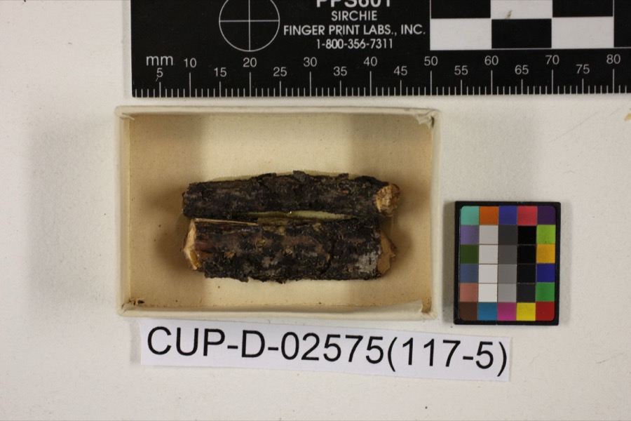
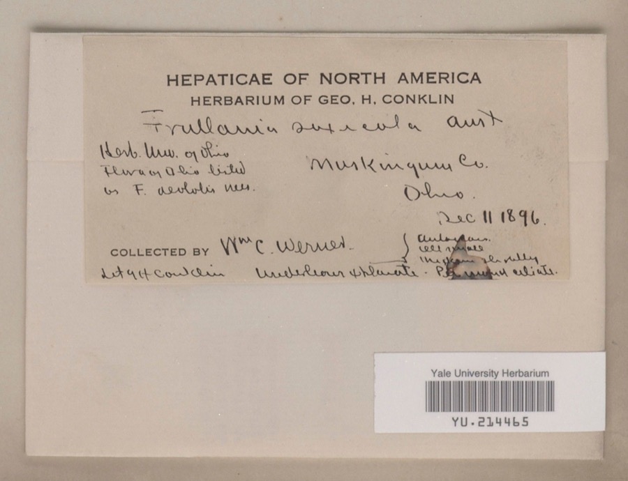
evidence. Museums hold 1,579 specimens
collected within 10 miles of Salt Creek Covered Bridge between 1890 and
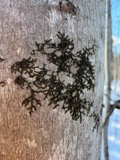
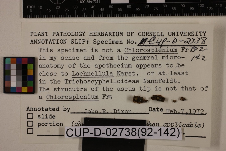
1975: 1,229 Animalia, 335 Plantae, 8 Fungi, 7 Unrecorded. 12 distinct Species records are shown.
Collected by A. H. Wright, Adams, W., Adams, W. (William), Trautman, M. B. (Milton Bernard) et al. and others. Each is a
physical object with a catalogue
number, and each entry opens the museum's record. This is what was
collected and kept, not a survey of what lives here - nothing can be
concluded from a species being absent.
Regional context, not property-specific
evidence. The National Weather Service names
Norwich, the town this property stands in, in 21 storm reports between 2004 and 2025: 10 hail, 7 thunderstorm wind, 3 heavy rain, 1 funnel cloud.
No death or injury is recorded in these reports. Each account below is quoted exactly as the forecast office
filed it, from the NOAA Storm Events Database, and each date
opens the federal record of that event.
No historic map-sheet match is published
for this property yet. That does not mean no map exists. This record needs
a coordinate-quality review before it can be joined to a sheet boundary.
Browse the county's mapped places while that work is
pending.
From the nomination file
1,893 words on record
When this property was proposed for the
National Register, someone wrote the case for it: what the building is,
and why it matters. That document is a federal record in the public domain.
It is quoted below word for word, never summarised. The text was read off the scanned case file by machine, so the
occasional stray character is the recogniser's and the 1970s
typewriter's.
Description of the property
most to the eaves. The roof is sheet metal.The portals are straight RECEIVED flooring. sheets.The siding has always been unpainted.In recent years it acknowledged expert on these old spans, describes the Warren truss is a fine example of the uncommon Warren truss. - Urban Planning - Political Other (Specify) - Science - Transportation STATEMENT OF
Statement of significance
an Englishman, in 1848, giving rise to some controversy over the there are now only three left here in Ohio, all privately-owned. MAR 2 1 1974 Commerce Military Architecture Engineering Conservation SIGNIFICANCE losophy Communications Theater REGISTER Agriculture Prehistoric NATIONAL itarian Landscape Literature Education Music Aboriginal Social/Human- Pre-Columbian County.Research done by members of the Southern Ohio Covered Sculpture and friends of the Southern Ohio Covered Bridge Association Invention Industry condition.An interesting feature of this bridge is the metal now rare Warren truss plan said to have been invented by Russell Bridge Association indicatos that this bridge was built in the Religion/Phi. Covered Bridge Association.
18th Century They have renovated the old structure and keep it in excellent to Mr.Warren for this truss, but drawings of it do exist.A used by a farmer as storage for machinery.In 1960,the old from the creek it spans. PERIOD (Check One or More as Appropriate) read from inside the bridge. On October 21, 1962, an Ohio his- Bridge is the sito of the annual picnic of the Southern Ohio 1870'a. The builder is unknown.
The name of the bridge comes Art origin of this truss plan.The Warren truss was never common and The Salt Creek Bridge is the last such structure in Muskingum roof sheots which replaced the original shingle roof.Members The Salt Creek Covered Bridge spans Salt Creek ten miles east of the donors are stenciled on each sheet where they can be easily by the Ohio Historical Society.This marker honors tho builders Warren of Rhode Island in the l85o's.No patent was ever issued of all Ohio covered bridges. Each year in July, the Salt Creek donated money for one or more of these sheets and the names of
Quoted from the National Register nomination
for reference 74001587, 14 pages, held by the National Archives in Record
Group 79. See the
catalogue record.
Listed places nearby
6 within 8 miles
Other National Register properties close
enough to walk or drive between, ordered by distance from this one. Both
positions come from the same geocoding pass that matched these properties
to their map sheets.
Listing record. National Park Service National Register of Historic Places, listed-properties dataset, current to 2026-05-22.
Map join. Address geocoded through the United States Census geocoder, then tested against the published boundary of every sheet in the USGS Historical Topographic Map Collection.
How this page is made. Listing fields come from federal records; map-sheet coverage is a labelled coordinate-to-boundary calculation, not a source-field claim.
Wildfire. Short, Karen C. 2022. Spatial wildfire occurrence data for the United States, 1992-2020 [FPA_FOD_20221014]. 6th Edition. Fort Collins, CO: Forest Service Research Data Archive. https://doi.org/10.2737/RDS-2013-0009.6 Collected with United States Government funding and usable without additional permissions or fees.
Specimens. Global Biodiversity Information Facility (GBIF), https://www.gbif.org/. Only records licensed CC0 or CC BY are used. Records licensed CC BY-NC are excluded because this site carries advertising. Images are checked individually and any whose licence is non-commercial, no-derivatives or unreadable is refused.
Storms. NOAA National Centers for Environmental Information, Storm Events Database https://www.ncei.noaa.gov/stormevents/ A work of the United States government, no copyright under 17 U.S.C. 105. Narratives are quoted verbatim from the National Weather Service report and are not edited or summarised.
 Block
Block