Listed on the National Register of Historic Places in
1982. A historic map-sheet match is not published yet. The record needs a coordinate-quality review before it can be joined to a sheet boundary.
From the record
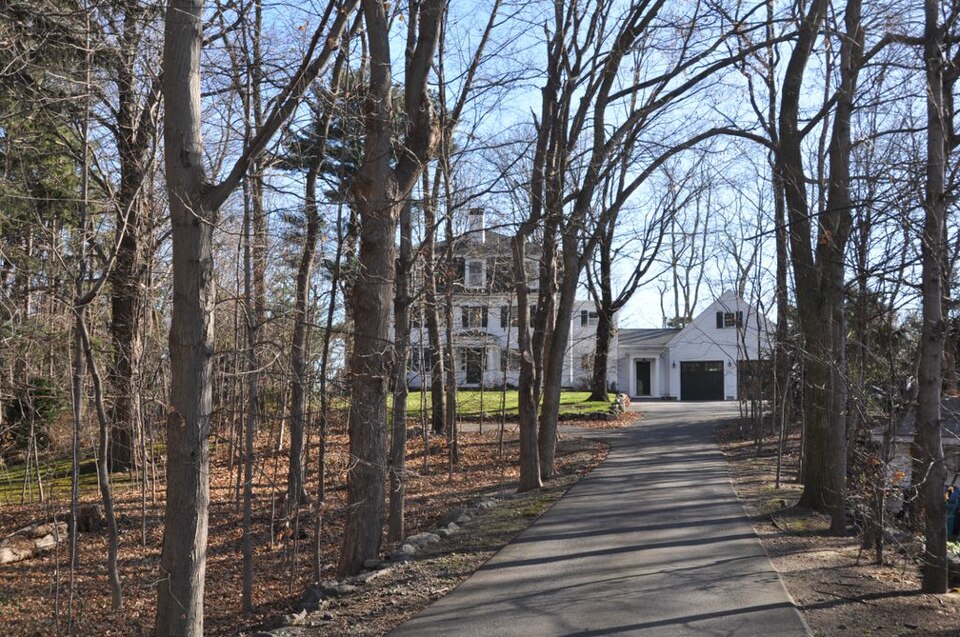
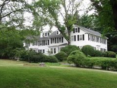
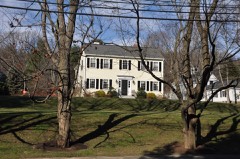
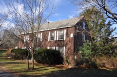
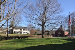
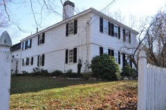
“The Townsend House is a historic late First Period house in Needham, Massachusetts, United States. The wood-frame house was built in 1720 by Gregory Sugars, a sea captain, for his son-in-law, Rev.”
Wikipedia article Townsend House (Needham, Massachusetts), CC BY-SA 4.0.
one of 249 National Register listings in Norfolk County · listed in 1982 · category: Building · one of 2 National Historic Landmarks in Norfolk County.
National Register reference number.82004420- the number the National Park Service assigned this property when it was listed, and the key its nomination file is catalogued under at the National Archives.
The Publishers desire to express their thanks to J. W. Lewis & Co., of Philadelphia, for permission to use their history of Norfolk County, also to C. C. Greenwood, Esq., and George K. Clarke, Esq., for their valuable assistance in preparing this historical sketch of Needham, and to all other citizens of Needham for the courtesy extended to them in their labor of canvassing, and for the patronage received for the work.
There are various papers, and certified copies of town records introduced to prove the Nehoiden transaction. On February 8, 1711/12, Needham appointed Jonathan Gay and Joseph Daniell to treat with Dedham as to the boundary, and on March 10 the mother town chose three men to appeal to the General Court to change the line In favor of Dedham, and the same day Needham selected Jeremiah Woodcock, Joseph Daniell and John Smith, Jr., to maintain that "the Longe Diche, a straite Line from Riuer to Riuer" should be the line. "Sargeant" John Fisher and Robert Cook were added to the committee and directed to answer the Dedham men before the General Court. On April 7 the same citizens, with the exception of Ebenezer Ware in place of Daniell, were chosen "to Come to a Loveng a Greement" with Dedham. The General Court ended the controversy by deciding in favor of the existing line.
Regional context, not property-specific
evidence. The
federal wildfire occurrence database
lists 114 fires within 5 miles of Townsend House between
2003 and 2020, burning about 380 acres in total. None started naturally. None was recorded as arson.
Distance is straight-line from the map coordinates, so a fire counted
here may appear on a neighbouring settlement's page as well.
Reported cause
Fires
Recreation and ceremony
64
Missing data/not specified/undetermined
33
Smoking
7
Debris and open burning
6
Power generation/transmission/distribution
2
Equipment and vehicle use
1
Other causes
1
The most recent of
them, most recent first, with the day each was reported and the service
that recorded it.
Regional context, not property-specific
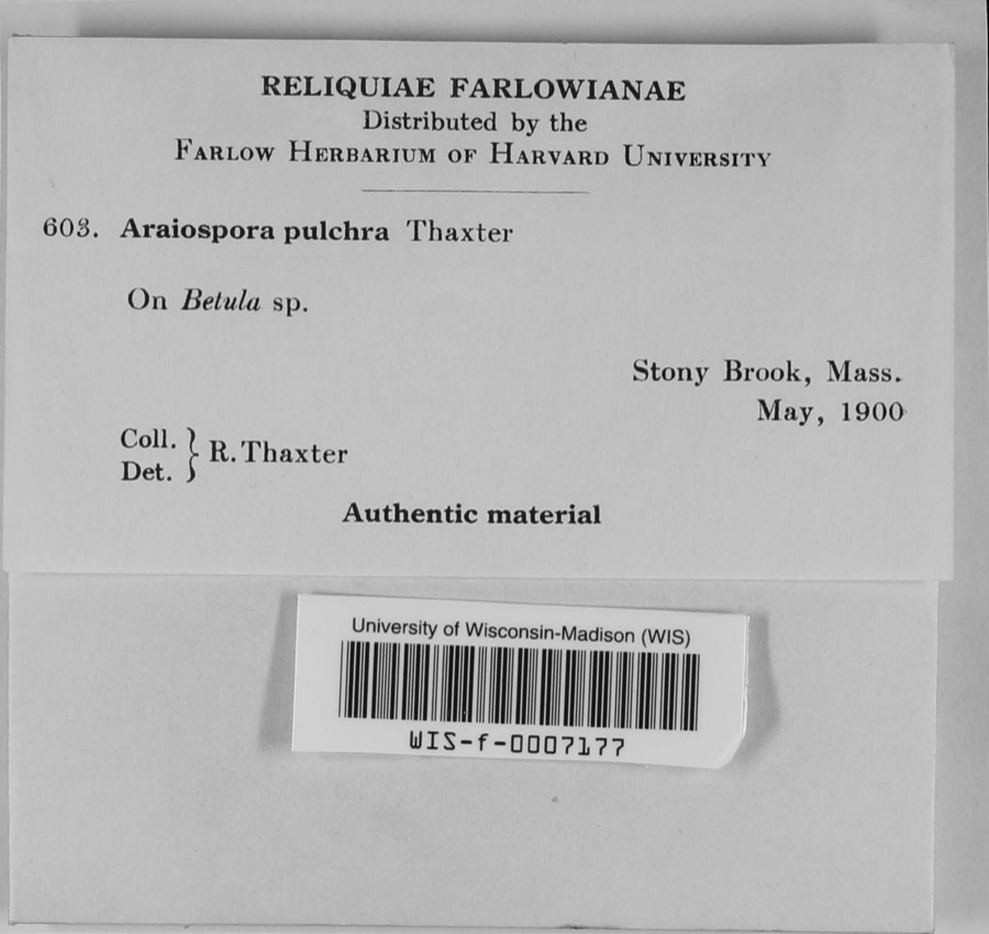
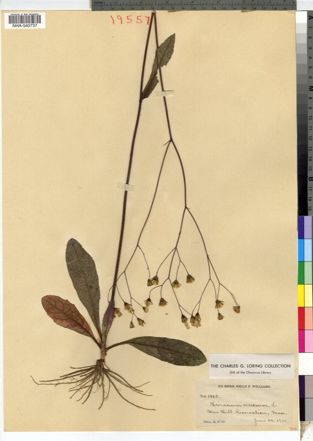
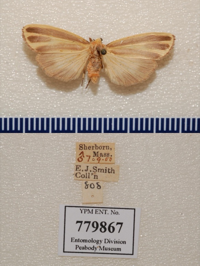
evidence. Museums hold 15,509 specimens
collected within 10 miles of Townsend House between 1805 and
1975: 6,463 Animalia, 4,588 Plantae, 4,017 Fungi, 192 Protozoa, 169 Chromista, 48 Unrecorded, 32 Bacteria. 12 distinct Species records are shown.
Collected by ?, ? ex Herb. W.G. Farlow, A C Gibson and others. Each is a
physical object with a catalogue
number, and each entry opens the museum's record. This is what was
collected and kept, not a survey of what lives here - nothing can be
concluded from a species being absent.
Regional context, not property-specific
evidence. The federal mineral resources record lists
9 workings within 5 miles of Townsend House: 6 past producers, 1 producer, 1 unknown, 1 plant.
2 still produce. What was taken out: Sand and Gravel, Construction, Stone, Stone, Crushed/Broken, Tantalum. Distance is straight-line from the
map coordinates, so a quarry counted here may appear on a neighbouring
settlement's page as well.
Regional context, not property-specific
evidence. The National Weather Service names
Needham, the town this property stands in, in 19 storm reports between 2000 and 2023: 8 thunderstorm wind, 5 hail, 4 flood, 2 lightning.
No death or injury is recorded in these reports. Each account below is quoted exactly as the forecast office
filed it, from the NOAA Storm Events Database, and each date
opens the federal record of that event.
Flooding reaching the tops of tires in Needham at the intersection of Great Plain Avenue and Ivy Road. The Canton Street railroad underpass in Sharon was flooded. A section of Village Street in Medway was flooded. The exit ramp from U.S. Route 1 near an auto dealership in Norwood was flooded; Dean Street in Norwood was flooded; two sections of University Avenue in Norwood were flooded. Oak Street at Park Street in Medfield was flooded. Albion Road at Cliff Road in Wellesley was flooded; State Route 9 near the Fire Department Headquarters was flooded.
No historic map-sheet match is published
for this property yet. That does not mean no map exists. This record needs
a coordinate-quality review before it can be joined to a sheet boundary.
Browse the county's mapped places while that work is
pending.
From the nomination file
2,567 words on record
When this property was proposed for the
National Register, someone wrote the case for it: what the building is,
and why it matters. That document is a federal record in the public domain.
It is quoted below word for word, never summarised. The text was read off the scanned case file by machine, so the
occasional stray character is the recogniser's and the 1970s
typewriter's.
Description of the property
The Townsend House stands on its original site at the junction of Central Avenue and Nehoiden Street adjacent to Needham's early town center. Its site, which borders North H1ll and occcu- pies a slight rise surrounded by lawns, gardens, and shade trees, is part of the twenty acre parcel purchased by the first owner, Reverend Jonathan Townsend. The property is now sur- rounded by other private homes, primarily of a later date. Extensively remodeled during the eighteenth and nineteenth centuries, the Townsend House is presently square in plan and two rooms deep with a five bay center entry facade facing north. The two story wood frame structure is sheathed with clapboards and is enclosed by a mansard S/o in the maih fiors and i ia the dr rootwith patred interior chimneys.
Trim consists of paneled corner pilasters supporting a wide frieze and boxed cornice as well as molded window frames with corner blocks. Sash is Entries are located on the north and west elevations. The north entry consists of a paneled door enframed by sidelights and a transom and is protected by a Doric portico. The west entry is flanked by sidelights and has a more severe Doric portico which carries a balustrade. A one story shed roof porch extends from the east elevation, while a gable roof ell and hip roof garage partially obscure the south elevation. As originally constructed c. 1720, the house was a one room deep, two story structure with a central chimney and a center entry on the west elevation.
On the first floor the south served as a kitchen while the north room served as a parlor and the upper rooms as chambers. This original structure measured 50 feet by 23 feet and had a fieldstone foundation only under the parlor.
/Architect Rev. Jonathan Townsend (1720) Statement of Significance (in one paragraph) The Reverend Jonathan Townsend House possesses integrity of Tocation, design, setting, materials, and workmanship as well as significant historical associations with Needham's early ministers. Additionally, it is a good example of eighteenth century construction modified during the nineteenth century to meet changing needs. The Townsend House thus meets criteria B and C of the National Register of Historic Places. Rev. Townsend, who was born in Lynn on January 1, 1697, moved to Needham in 1720 to become ordained as the first minister of the town's First Church on March 23.
Two months later he married Mary Sugars of Boston and bought twenty acres of outlands as well as a separate eight acre house lot at the junction of Central Avenue and Nehoiden Street from the heirs of Thomas Aldrich of Dedham (Needham was set off from the original Dedham grant in 1711). Here he erected a two story wood frame house of one room depth, five bay facade, and central chimney plan. This house stood at the southern corner of the Central-Nehoiden juncture facing Central Avenue, and a footpath ran from the rear ofthe house to Nehoiden Street where the meetinghouse stood. Rev. Townsend served as the town's minister and occupied this house unitl his death on September 30, 1762.
For the next two years Needham remained without a permanent pastor, making do with guest preachers who boarded with Townsend's widow Mary. It was not until the Rev. Samuel west was ordained on April 25, 1754, that the post was finally filled.
Quoted from the National Register nomination
for reference 82004420, 12 pages, held by the National Archives in Record
Group 79. See the
catalogue record.
Listed places nearby
6 within 8 miles
Other National Register properties close
enough to walk or drive between, ordered by distance from this one. Both
positions come from the same geocoding pass that matched these properties
to their map sheets.
Listing record. National Park Service National Register of Historic Places, listed-properties dataset, current to 2026-05-22.
Map join. Address geocoded through the United States Census geocoder, then tested against the published boundary of every sheet in the USGS Historical Topographic Map Collection.
How this page is made. Listing fields come from federal records; map-sheet coverage is a labelled coordinate-to-boundary calculation, not a source-field claim.
Wildfire. Short, Karen C. 2022. Spatial wildfire occurrence data for the United States, 1992-2020 [FPA_FOD_20221014]. 6th Edition. Fort Collins, CO: Forest Service Research Data Archive. https://doi.org/10.2737/RDS-2013-0009.6 Collected with United States Government funding and usable without additional permissions or fees.
Specimens. Global Biodiversity Information Facility (GBIF), https://www.gbif.org/. Only records licensed CC0 or CC BY are used. Records licensed CC BY-NC are excluded because this site carries advertising. Images are checked individually and any whose licence is non-commercial, no-derivatives or unreadable is refused.
Mines and quarries. USGS Mineral Resources Data System (MRDS) https://mrdata.usgs.gov/mrds/ A work of the United States government, no copyright under 17 U.S.C. 105.
Storms. NOAA National Centers for Environmental Information, Storm Events Database https://www.ncei.noaa.gov/stormevents/ A work of the United States government, no copyright under 17 U.S.C. 105. Narratives are quoted verbatim from the National Weather Service report and are not edited or summarised.
 Block
Block