Listed on the National Register of Historic Places in
1973. A historic map-sheet match is not published yet. The record needs a coordinate-quality review before it can be joined to a sheet boundary.
From the record
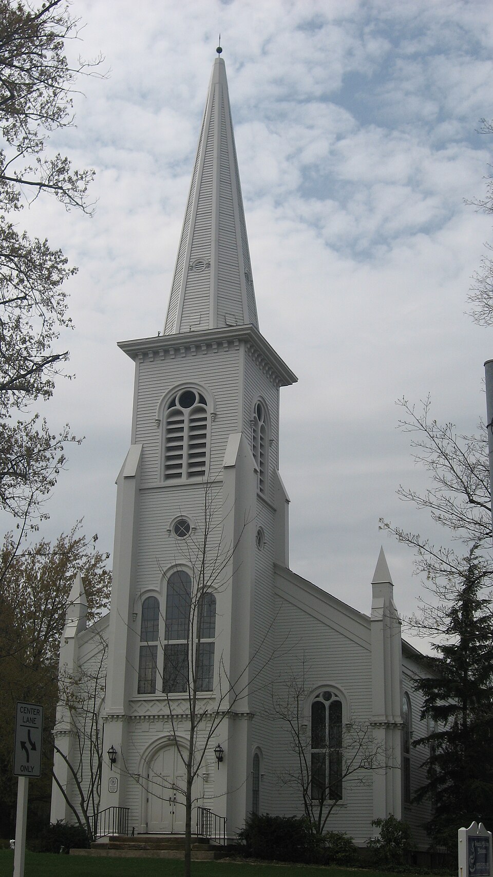
“Old South Church is a historic church at 9802 Chillicothe Road in Kirtland, Ohio, United States.”
Wikipedia article Old South Church (Kirtland, Ohio), CC BY-SA 4.0.
one of 75 National Register listings in Lake County · listed in 1973 · category: Building · one of 2 National Historic Landmarks in Lake County.
National Register reference number.73001485- the number the National Park Service assigned this property when it was listed, and the key its nomination file is catalogued under at the National Archives.
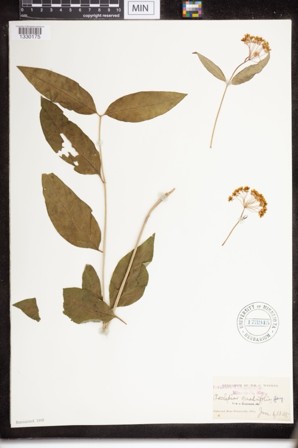
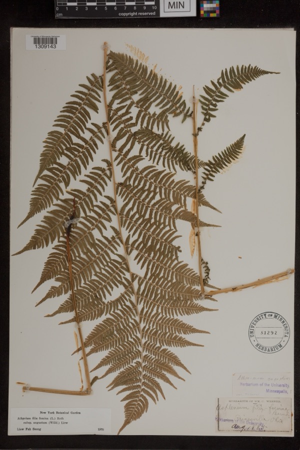
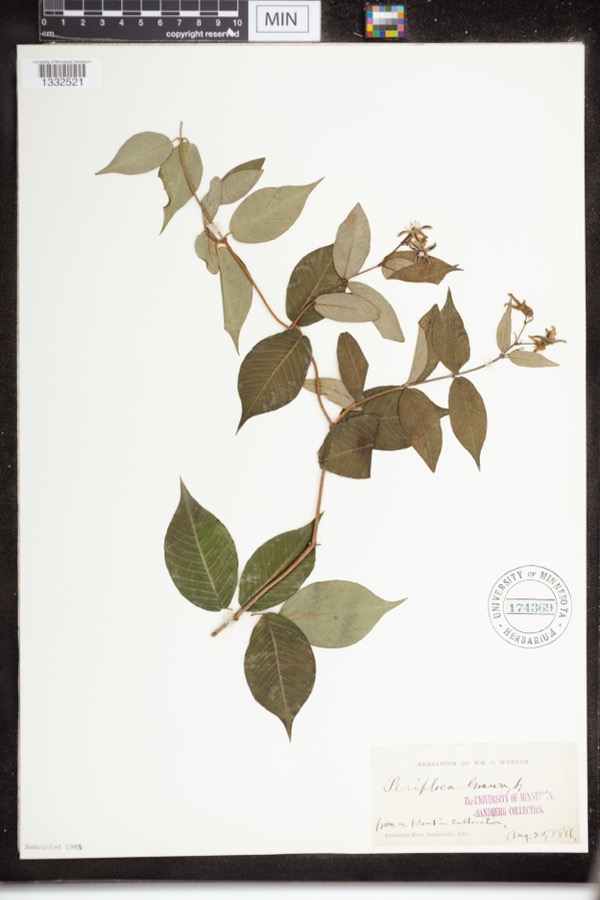
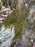
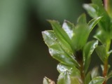
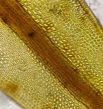
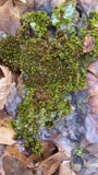
Specimens collected near this property
12 of 1,390 shown
Regional context, not property-specific
evidence. Museums hold 1,390 specimens
collected within 10 miles of Old South Church between 1864 and
1975: 1,171 Animalia, 143 Plantae, 69 Fungi, 3 Unrecorded, 3 Protozoa, 1 Chromista. 12 distinct Species records are shown.
Collected by A. Doolittle, A. F. Clewell, A. Woolman and others. Each is a
physical object with a catalogue
number, and each entry opens the museum's record. This is what was
collected and kept, not a survey of what lives here - nothing can be
concluded from a species being absent.
Regional context, not property-specific
evidence. The federal mineral resources record lists
1 working within 5 miles of Old South Church: 1 producer.
All of them still produce. What was taken out: Silica. Distance is straight-line from the
map coordinates, so a quarry counted here may appear on a neighbouring
settlement's page as well.
Regional context, not property-specific
evidence. The National Weather Service names
Kirtland, the town this property stands in, in 18 storm reports between 1994 and 2023: 9 thunderstorm wind, 7 hail, 1 flash flood, 1 tornado.
No death or injury is recorded in these reports. Each account below is quoted exactly as the forecast office
filed it, from the NOAA Storm Events Database, and each date
opens the federal record of that event.
A tornado with estimated peak winds of 110 mph impacted Mentor. The tornado began just west of Dartmoor Road near Mentor Avenue, where large trees were downed. Numerous additional trees were downed as the tornado tracked generally eastward. Multiple homes along Stockridge Road and Middlesex Road sustained damage (e.g. roof and siding damage) from downed trees. Extensive tree damage also occurred at the Great Lakes Mall property before the tornado shifted east-northeastward and damaged additional trees and power lines near the intersection of Johnnycake Ridge Road and Fairview Avenue. Tree damage also occurred in Wildwood Park before the tornado ended along Chillicothe Road, just south of Donald E. Kruger Park.
Penny size hail was observed. Hail ranged in size between penny and pea size and lasted for several minutes covering the ground, and accumulating to around an inch.
No historic map-sheet match is published
for this property yet. That does not mean no map exists. This record needs
a coordinate-quality review before it can be joined to a sheet boundary.
Browse the county's mapped places while that work is
pending.
From the nomination file
1,062 words on record
When this property was proposed for the
National Register, someone wrote the case for it: what the building is,
and why it matters. That document is a federal record in the public domain.
It is quoted below word for word, never summarised. The text was read off the scanned case file by machine, so the
occasional stray character is the recogniser's and the 1970s
typewriter's.
Description of the property
round-arched central window with two shorter flanking windows, all double- story, separated from the second by a belt course, has a louvered and south elevations have the same kind of windows, all with round-arched jecting from the west wall in the chancel surrounds an aedicula. The central motif in the gallery is a projecting wooden octagon AUG 2 2 1973 CONDITION century. Exterior: REGISTER Ruins NATIONAL circular wooden arch.Above the doorway are brackets and decorative Fair cessed cross motif is repeated several times in the decorative details This white frame building is rectangular in plan with a gable roof and Venetian Gothic window with tracery on the east, north and south sides.
hoodmolds.There are buttresses with pinnacles at each corner of the mainly in the chancel area and the gallery.A semi-circular arch pro- directions from the corners, beginning at the ground and extending up hung with semi-circular hoodmolds.Above the three windows isa circular iginally used by the choir.There is woodwork detailing in the by columns. side of the tower through a round-arched double door crowned by a semi- (Check One) Good X Original Site spire. On the east side of the tower, attached buttresses extend in two work in "X" patterns.
On the east facade, the second story has a tall The rectangular sanctuary has a gallery above the entry which was or- Interior: There isa bracketed cornice at the third story.The spire has recessed window also with a semi-circular hoodmold.There are identical circular with rings of concentric wooden circles insidep church.The foundation is stone.A basement was added in the 20th The gallery is supported flank the tower on the east side of the building.The four-bay north a three story tower on the east side.The tower is topped by an octagonal
Statement of significance
damaged this structure and subsequently, the decision was made to 1s among the oldest in the Western Reserve and was originally served by Reverend Joseph Badger, the Reserve's first itinerant preacher. styles, as were many churches built at that time.
It is a good example AUG 2 2 1973 Conservation Architecture Communications Commerce losophy Military Aboriginal Engineering Literature Music Landscape REGISTER Transportation Agriculture NATIONAL Education Industry Prehistoric Theater Science Invention Sculpture Social/Human- Political itarian bell still remains but is cracked.The Kirtland Congregational Church Urban Planning The Old South Church is a combination of Carpenter Gothic and Romanesque present site, followed by a large frame building constructed on the RECEIVED In 1819 a congregation of ten persons organized the first church in Religion/Phi- erect a new building.
Ground for the present sanctuary was broken in 1859.The builder east side of the present highway #306.In 1842a storm severely AREAS OF SIGNIFICANCE (Check One or More as Appropriate) 1859 Art of its type in Lake County. Crary, Marian A. 4605 700
Quoted from the National Register nomination
for reference 73001485, 9 pages, held by the National Archives in Record
Group 79. See the
catalogue record.
Listed places nearby
6 within 8 miles
Other National Register properties close
enough to walk or drive between, ordered by distance from this one. Both
positions come from the same geocoding pass that matched these properties
to their map sheets.
Listing record. National Park Service National Register of Historic Places, listed-properties dataset, current to 2026-05-22.
Map join. Address geocoded through the United States Census geocoder, then tested against the published boundary of every sheet in the USGS Historical Topographic Map Collection.
How this page is made. Listing fields come from federal records; map-sheet coverage is a labelled coordinate-to-boundary calculation, not a source-field claim.
Specimens. Global Biodiversity Information Facility (GBIF), https://www.gbif.org/. Only records licensed CC0 or CC BY are used. Records licensed CC BY-NC are excluded because this site carries advertising. Images are checked individually and any whose licence is non-commercial, no-derivatives or unreadable is refused.
Mines and quarries. USGS Mineral Resources Data System (MRDS) https://mrdata.usgs.gov/mrds/ A work of the United States government, no copyright under 17 U.S.C. 105.
Storms. NOAA National Centers for Environmental Information, Storm Events Database https://www.ncei.noaa.gov/stormevents/ A work of the United States government, no copyright under 17 U.S.C. 105. Narratives are quoted verbatim from the National Weather Service report and are not edited or summarised.
 Block
Block