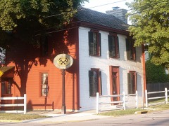
Listed on the National Register of Historic Places in
1984. A historic map-sheet match is not published yet. The record needs a coordinate-quality review before it can be joined to a sheet boundary.
From the record
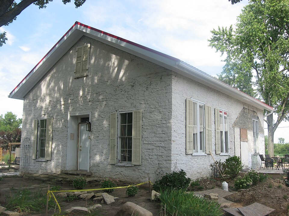
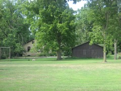
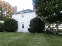
“The Casstown Lutheran Stone Church is a historic former church building in the village of Casstown, Ohio, United States. Built in the late 1830s, it was home to one of the region's earliest Lutheran congregations for just a short time before being converted for profane use.”
Wikipedia article Casstown Lutheran Stone Church, CC BY-SA 4.0.
one of 36 National Register listings in Miami County · listed in 1984 · category: Building.
National Register reference number.84003783- the number the National Park Service assigned this property when it was listed, and the key its nomination file is catalogued under at the National Archives.
Regional context, not property-specific
evidence. The
federal wildfire occurrence database
lists 2 fires within 5 miles of Casstown Lutheran Stone Church between
2002 and 2002, burning about 1 acres in total. None started naturally. None was recorded as arson.
Distance is straight-line from the map coordinates, so a fire counted
here may appear on a neighbouring settlement's page as well.
Reported cause
Fires
Equipment and vehicle use
1
Missing data/not specified/undetermined
1
The most recent of
them, most recent first, with the day each was reported and the service
that recorded it.
Regional context, not property-specific
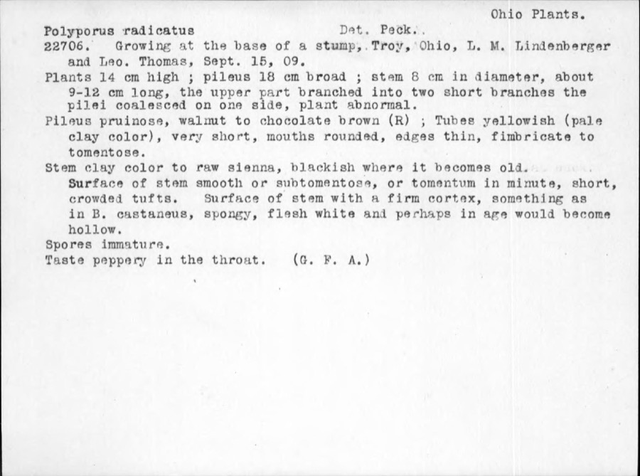
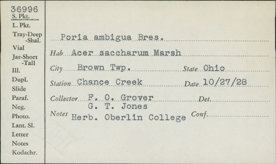
evidence. Museums hold 176 specimens
collected within 10 miles of Casstown Lutheran Stone Church between 1835 and
1975: 145 Animalia, 17 Fungi, 11 Plantae, 3 Protozoa. 12 distinct Species records are shown.
Collected by A. R. Gaufin, A.R. Gaufin, H.H. Ross, Adams J. M. R. and others. Each is a
physical object with a catalogue
number, and each entry opens the museum's record. This is what was
collected and kept, not a survey of what lives here - nothing can be
concluded from a species being absent.
Regional context, not property-specific
evidence. The federal mineral resources record lists
5 workings within 5 miles of Casstown Lutheran Stone Church: 4 past producers, 1 plant.
1 still produces. What was taken out: Sand and Gravel, Construction, Stone, Crushed/Broken, Limestone, General. Distance is straight-line from the
map coordinates, so a quarry counted here may appear on a neighbouring
settlement's page as well.
Regional context, not property-specific
evidence. The National Weather Service names
Casstown, the town this property stands in, in 7 storm reports between 2007 and 2017: 3 thunderstorm wind, 2 hail, 1 flood, 1 tornado.
No death or injury is recorded in these reports. Each account below is quoted exactly as the forecast office
filed it, from the NOAA Storm Events Database, and each date
opens the federal record of that event.
East Northeast of Casstown, a roof was blown off a garage, a 27 foot camper was blown into a field, large trees were downed, and a house had a chimney blown off due to thunderstorm winds.
Based on video evidence and radar imagery, the tornado is believed to have touched down in a field north of the intersection of Polecat Road and Troy Urbana Road. The tornado moved north to Deweese Road approximately one-half mile north of the intersection with East Rusk Road. Tree branches generally 4 inches in diameter or smaller were broken immediately west of Deweese Road at the start of the tornado track. More significant damage occurred less than one-tenth of a mile north where several maple trees up to 18 inches in diameter were snapped. This is where the tornado was believed to be at peak intensity with winds estimated near 90 mph. There was also a large barn immediately east that was moved several inches off its foundation. This movement was likely caused by winds approaching 90 mph while flowing into the circulation. The tornado then started to weaken as it moved north-|northwest near Deweese Road to a point approximately two-tenths of a mile southwest of the intersection with East Peterson Road. Tree damage was generally less significant in this area with estimated wind speeds of 60-75 mph. The tornado appears to have lifted at this point, and no further damage was observed farther northwest. Damage along this path was oriented in convergent and semi-circular patterns consistent with the presence of a tornado.
No historic map-sheet match is published
for this property yet. That does not mean no map exists. This record needs
a coordinate-quality review before it can be joined to a sheet boundary.
Browse the county's mapped places while that work is
pending.
From the nomination file
1,872 words on record
When this property was proposed for the
National Register, someone wrote the case for it: what the building is,
and why it matters. That document is a federal record in the public domain.
It is quoted below word for word, never summarised. The text was read off the scanned case file by machine, so the
occasional stray character is the recogniser's and the 1970s
typewriter's.
Description of the property
on the south side. A window has been closed in to nake a set of bookshelves, and a nominated acreage. At the rear of the building, a door has been cut in and is the only located less than two miles south on Children's Home Road. That stone building from There is a gable peak that has brick filling in the front, but the rear gable end is small living room from a family-dining room space. There are wood partitions to set off date and flanking single windows that are 83 inches in height.
The windows are 4/4 double 20 inches thick.It now has a central entrance with recessed sidelights and transom, pegged timbers help support the large open space on the first floor.The trusswork stone church is still used by the congregation today.It has a Sunday School addition and is situated seven miles south of the old National Road (now State Route #36).The four miles east of Troy in Miami County.Casstowm has a population of about 4oo people Areas of SignificanceCheck and justify below - prehistoric -landscape architecture_X religion - archeology-historic - agriculture . sculpture X architecture - engineering - politics/government - other (specify) Statement of
Statement of significance
(in one paragraph) Criteria A & C The Casstown Lutheran Stone Church, built about 1839-40, is historically significant western half of the state of Ohio into a Western District of the Joint Synod of Lutherans College at nearby Springfield, serving as the spiritual director for the scattered fertile land along the Miami River, once caught up in the snarl of the Symmes Purchase Land dispute, and then later part of Montgomery County.
Beginning in 1805, people of until the heavy German immigration began into Ohio in the 1830s did the Lutherans gain enough The church is architecturally important because of its unusual rough stone construction the weight of the first floor ceiling, and allows an open space below that does not construction of stockades and blockhouses, can also be found in the 1813 John Minor Some of the first German-speaking settlers to come in 1797 from Pennsylvania to the Miami River Valley were the Knoop brothers, John, Benjamin, Christian and Daniel. Before Ohio was a state they helped found the first settlement in what was later was built for protection from the Indians before the county seat of Troy was established the Knoops moved onto farms along Lost Creek, south of present-day Casstown.
Other soon the village of Casstown was laid out in 1833 and the Lutheran Church was officially three unmarried brothers, donated a one hundred and sixty acre farm to the county for structure was allowed to remain standing and was converted into a dwelling. The and inside. The residence has changed little during the past one hundred and fifteen 1800-1899 1700-1799 1839-40 years. 1500-1599 1400-1499 commerce invention humanitarian conservation industry communications science transportation Period The music literature 8.
Quoted from the National Register nomination
for reference 84003783, 13 pages, held by the National Archives in Record
Group 79. See the
catalogue record.
Listed places nearby
6 within 8 miles
Other National Register properties close
enough to walk or drive between, ordered by distance from this one. Both
positions come from the same geocoding pass that matched these properties
to their map sheets.
Listing record. National Park Service National Register of Historic Places, listed-properties dataset, current to 2026-05-22.
Map join. Address geocoded through the United States Census geocoder, then tested against the published boundary of every sheet in the USGS Historical Topographic Map Collection.
How this page is made. Listing fields come from federal records; map-sheet coverage is a labelled coordinate-to-boundary calculation, not a source-field claim.
Wildfire. Short, Karen C. 2022. Spatial wildfire occurrence data for the United States, 1992-2020 [FPA_FOD_20221014]. 6th Edition. Fort Collins, CO: Forest Service Research Data Archive. https://doi.org/10.2737/RDS-2013-0009.6 Collected with United States Government funding and usable without additional permissions or fees.
Specimens. Global Biodiversity Information Facility (GBIF), https://www.gbif.org/. Only records licensed CC0 or CC BY are used. Records licensed CC BY-NC are excluded because this site carries advertising. Images are checked individually and any whose licence is non-commercial, no-derivatives or unreadable is refused.
Mines and quarries. USGS Mineral Resources Data System (MRDS) https://mrdata.usgs.gov/mrds/ A work of the United States government, no copyright under 17 U.S.C. 105.
Storms. NOAA National Centers for Environmental Information, Storm Events Database https://www.ncei.noaa.gov/stormevents/ A work of the United States government, no copyright under 17 U.S.C. 105. Narratives are quoted verbatim from the National Weather Service report and are not edited or summarised.
 Block
Block