Listed on the National Register of Historic Places in
1985. A historic map-sheet match is not published yet. The record needs a coordinate-quality review before it can be joined to a sheet boundary.
From the record
“The Bremen Church was organized on the 21st of October, 1844, by a committee of Licking Presbytery, consisting of Rev. The first elders were Daniel Rodahafer, John Ashbaugh and Wm.”
A Complete History of Fairfield County, Ohio (1877). Machine-read text.
one of 29 National Register listings in Fairfield County · listed in 1985 · category: Building · one of 1 National Historic Landmarks in Fairfield County.
National Register reference number.85001691- the number the National Park Service assigned this property when it was listed, and the key its nomination file is catalogued under at the National Archives.
What happened here
An account from the chapter on Richland township, The inset identifies its exact
source book and publication year.
The oldest citizens of Lancaster describe a typhoid epidemic that prevailed in the village in the fall of the year 1823. Its ravages are believed not to have been exceeded on the continent at any age, or by any visitation of epidemic disease, not even excepting the cholera. No'direct or remote cause could be assigned.
East and West Rushville, one mile apart, and on opposite sides of Rush Creek, are situated in the southern third of the township. Both these villages have churches and Sabbath- Schools, and their citizens are characterized for temperance and good morals. It is understood that a man by the name of Teal first owned the land upon which West town is built, and a Mr. Turner that where the East town is.
Among the first settlers, the names below are presented : William Wiseman, Theo. Turner, Stephenson and Ijams' families. Judge William McClung was also an early-comer. Judge McClung was a prominent public man, and died in West Rushville in 1876, at a very advanced age. Abram Geil, James Rowland, and Jesse Rowles, are likewise mentioned as among the pioneers in the township. Mordecai Stevens was an early settler and leading farmer; he lived and died on the land first entered by his father. William CouLson is remembered as a leading man of Rushville, both in trade and as an active and devoted Methodist. Patrick Owens is said to have sold the first goods in Richland; and Moses Plummerthe proprietor of the first mills on Rush Creek, between the two villages, in the year 1802, or about that time.
Regional context, not property-specific
evidence. The
federal wildfire occurrence database
lists 3 fires within 5 miles of Dilger Store between
2012 and 2020, burning about 11 acres in total. None started naturally. None was recorded as arson.
Distance is straight-line from the map coordinates, so a fire counted
here may appear on a neighbouring settlement's page as well.
Reported cause
Fires
Debris and open burning
2
Missing data/not specified/undetermined
1
The most recent of
them, most recent first, with the day each was reported and the service
that recorded it.
Regional context, not property-specific
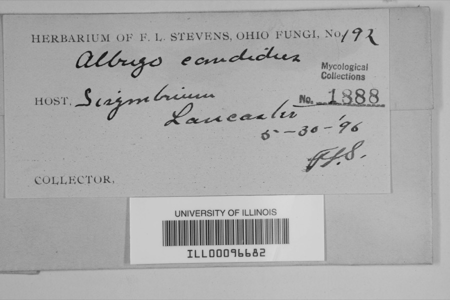
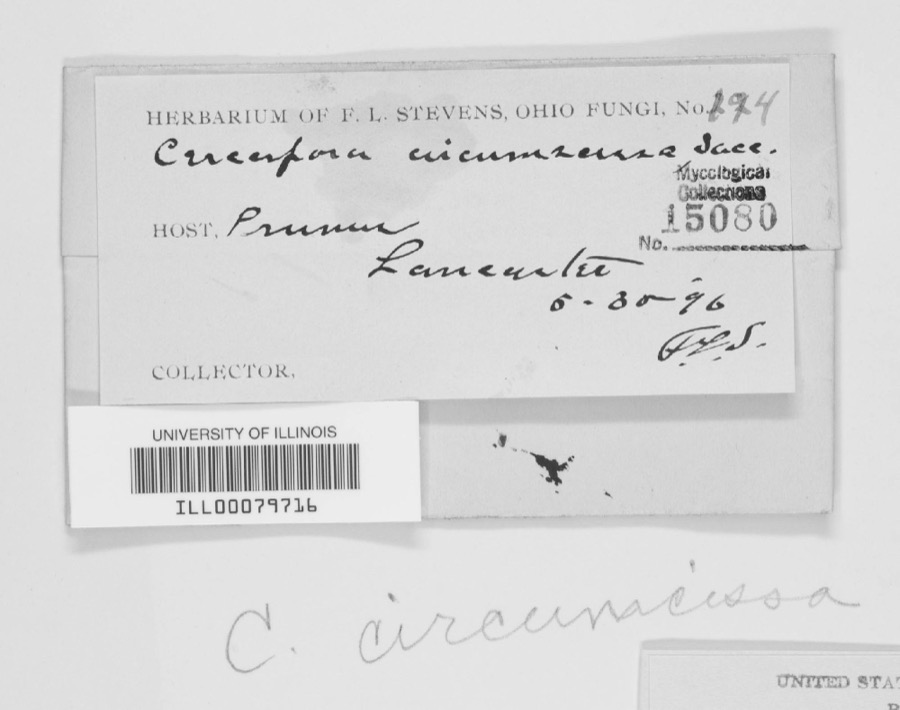
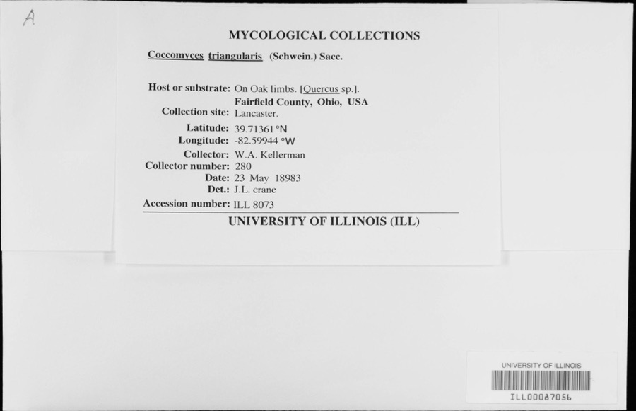
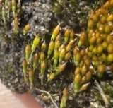
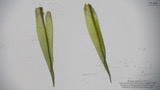
evidence. Museums hold 1,476 specimens
collected within 10 miles of Dilger Store between 1843 and
1975: 1,120 Animalia, 260 Fungi, 87 Plantae, 6 Protozoa, 2 Chromista, 1 Unrecorded. 12 distinct Species records are shown.
Collected by Asa Gray; W. S. Sullivant, Bales, B. R., Birch, W. and others. Each is a
physical object with a catalogue
number, and each entry opens the museum's record. This is what was
collected and kept, not a survey of what lives here - nothing can be
concluded from a species being absent.
Regional context, not property-specific
evidence. The National Weather Service names
West Rushville, the town this property stands in, in 7 storm reports between 2010 and 2024: 5 thunderstorm wind, 1 tornado, 1 flood.
No death or injury is recorded in these reports. Each account below is quoted exactly as the forecast office
filed it, from the NOAA Storm Events Database, and each date
opens the federal record of that event.
The tornado touched down on Fairfield Union Road where tree and roof damage occurred. Damage associated with the tornado continued to the east until near County Line Road where another house had siding and roof damage from the tornado. Along this path there was additional tree damage and damage to a barn. Based on the damage, wind speeds were estimated around 75 miles per hour.
Numerous trees were damaged by being twisted at the 5 foot level. The trees were reported to be about 12 inches thick. In addition, another house on the street had one tree knocked down.
No historic map-sheet match is published
for this property yet. That does not mean no map exists. This record needs
a coordinate-quality review before it can be joined to a sheet boundary.
Browse the county's mapped places while that work is
pending.
From the nomination file
1,506 words on record
When this property was proposed for the
National Register, someone wrote the case for it: what the building is,
and why it matters. That document is a federal record in the public domain.
It is quoted below word for word, never summarised. The text was read off the scanned case file by machine, so the
occasional stray character is the recogniser's and the 1970s
typewriter's.
Description of the property
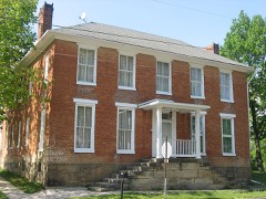
placed randomly. The front facade is primarily divided into three bays.The second story has Village of West Rushville. It is a two story frame building with a full basement.The dimensions are 27 The downstairs is comprised of one large store area with arear storage room. The store is located on the northwest corner of the only crossroad in the has five shuttered windows.On the second story the shuttered windows are The side facades are an irregular configuration.The second story on each side x64'.The gable roof is covered by slate shingles. _ruins area into three, although there are four facade openings: two windows 'and two exterior trim, doors and windows are original, as well as the interior's obscured by the porch roof. Semicircular fanlights' cap the doorways.
This An oak stairway leads to the second floor which consists of a large Lodge built-in shelving with drawers, two of the store counters and the ceiling gas three windows.The posts supporting the shed roof of the porch divide this The building has remained relatively unaltered since its construction.The Areas of Significance-Check and justify below - prehistoric - archeology-prehistoric - archeology-historic . literature . music - 1800-1899 - 1900- - politics/government other (specify) Criteria A and C West Rushville links .two hubs-of Zane's Trace, Lancaster to the southwest and.. Besides its use in the tobacco trade, the store provided the main source of store, remaining in this same family from 1882 until1982. are intact on the storefront, including doors, hardware and display windows.
1600-1699 1500-1599 1400-1499 transportation communications Period industry engineering invention art theater military conservation education 1700-1799 humanitarian exploration/settlement Xarchitecture science Xcommerce sculpture social/ law --economics 8.
Statement of significance
(in one paragraph) various uses contributed to the store's establishment as a major focal point The West Rushville general store represents the early commercial history of a Although unexpected, Fairfield County experienced some success in its tobacco remainder of the town's prosperous beginnings. -agriculture The interior merchandise area also retains what appears to be 19th century rare example of a modest but unaltered 19th century commercial architecture. the travel and the tobacco trade. It has remained a small country town.Dilger's general store remains as an The Dilger store also served as post office and Odd Fellows Lodge.These .-communityplanning Especially noteworthy is the virtually unaltered late-19th century commercial of the town. still present in the attic.
Builder/Architect Un. example of a small town's commerce. - - philosophy - religion While the shed-like porch is of indeterminate age, all elements West Rushville did not develop commercially as a major link on Zane's Trace. landscape architecture Rushville served as a link in this tobacco trade.After storage, wagon loads referred to the early town as a prosperous community owing its success to both Zanesville to the northeast.A late nineteenth century county history not original)shelving.Woodwork and doors also remain in place on the 1st 9.
Quoted from the National Register nomination
for reference 85001691, 16 pages, held by the National Archives in Record
Group 79. See the
catalogue record.
Listed places nearby
4 within 8 miles
Other National Register properties close
enough to walk or drive between, ordered by distance from this one. Both
positions come from the same geocoding pass that matched these properties
to their map sheets.
Listing record. National Park Service National Register of Historic Places, listed-properties dataset, current to 2026-05-22.
Map join. Address geocoded through the United States Census geocoder, then tested against the published boundary of every sheet in the USGS Historical Topographic Map Collection.
How this page is made. Listing fields come from federal records; map-sheet coverage is a labelled coordinate-to-boundary calculation, not a source-field claim.
Wildfire. Short, Karen C. 2022. Spatial wildfire occurrence data for the United States, 1992-2020 [FPA_FOD_20221014]. 6th Edition. Fort Collins, CO: Forest Service Research Data Archive. https://doi.org/10.2737/RDS-2013-0009.6 Collected with United States Government funding and usable without additional permissions or fees.
Specimens. Global Biodiversity Information Facility (GBIF), https://www.gbif.org/. Only records licensed CC0 or CC BY are used. Records licensed CC BY-NC are excluded because this site carries advertising. Images are checked individually and any whose licence is non-commercial, no-derivatives or unreadable is refused.
Storms. NOAA National Centers for Environmental Information, Storm Events Database https://www.ncei.noaa.gov/stormevents/ A work of the United States government, no copyright under 17 U.S.C. 105. Narratives are quoted verbatim from the National Weather Service report and are not edited or summarised.
 Block
Block