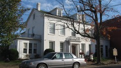
Listed on the National Register of Historic Places in
1986. A historic map-sheet match is not published yet. The record needs a coordinate-quality review before it can be joined to a sheet boundary.
From the record
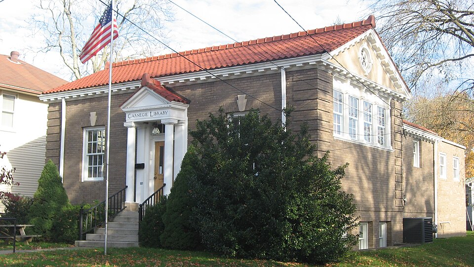
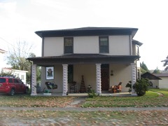
“The Middleport Public Library is a historic Carnegie library in the Ohio River village of Middleport, Ohio, United States. Built in the early twentieth century, it has been named a historic site.”
Wikipedia article Middleport Public Library, CC BY-SA 4.0.
one of 8 National Register listings in Meigs County · listed in 1986 · category: Building.
National Register reference number.86000033- the number the National Park Service assigned this property when it was listed, and the key its nomination file is catalogued under at the National Archives.
Fires near this property
83 since 1992
Regional context, not property-specific
evidence. The
federal wildfire occurrence database
lists 83 fires within 5 miles of Middleport Public Library between
1992 and 2020, burning about 65 acres in total. None started naturally. 26 were recorded as arson.
Distance is straight-line from the map coordinates, so a fire counted
here may appear on a neighbouring settlement's page as well.
Reported cause
Fires
Debris and open burning
38
Arson/incendiarism
26
Equipment and vehicle use
7
Misuse of fire by a minor
3
Fireworks
2
Missing data/not specified/undetermined
2
Power generation/transmission/distribution
2
Smoking
2
Railroad operations and maintenance
1
The most recent of
them, most recent first, with the day each was reported and the service
that recorded it.
Regional context, not property-specific
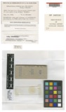
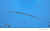
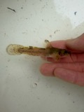
evidence. Museums hold 206 specimens
collected within 10 miles of Middleport Public Library between 1840 and
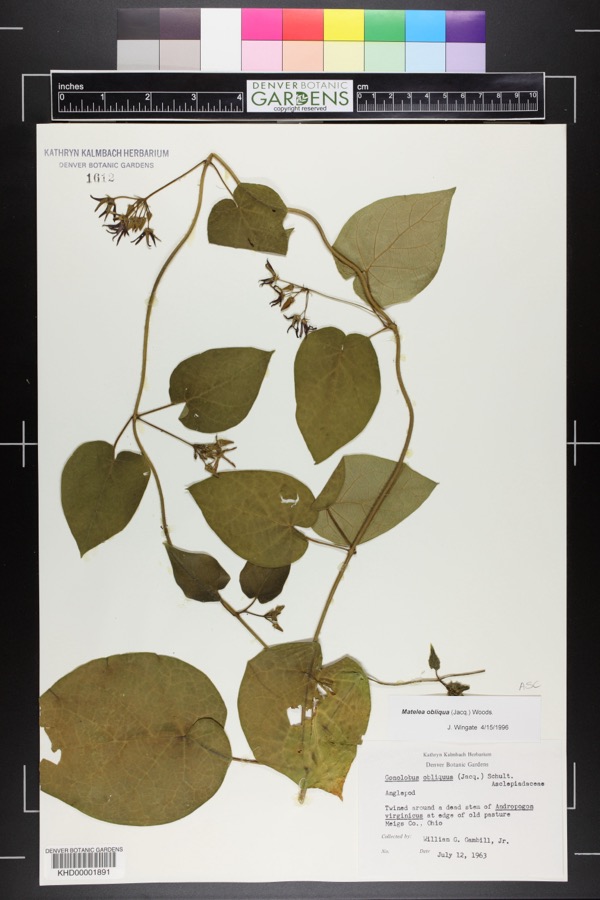
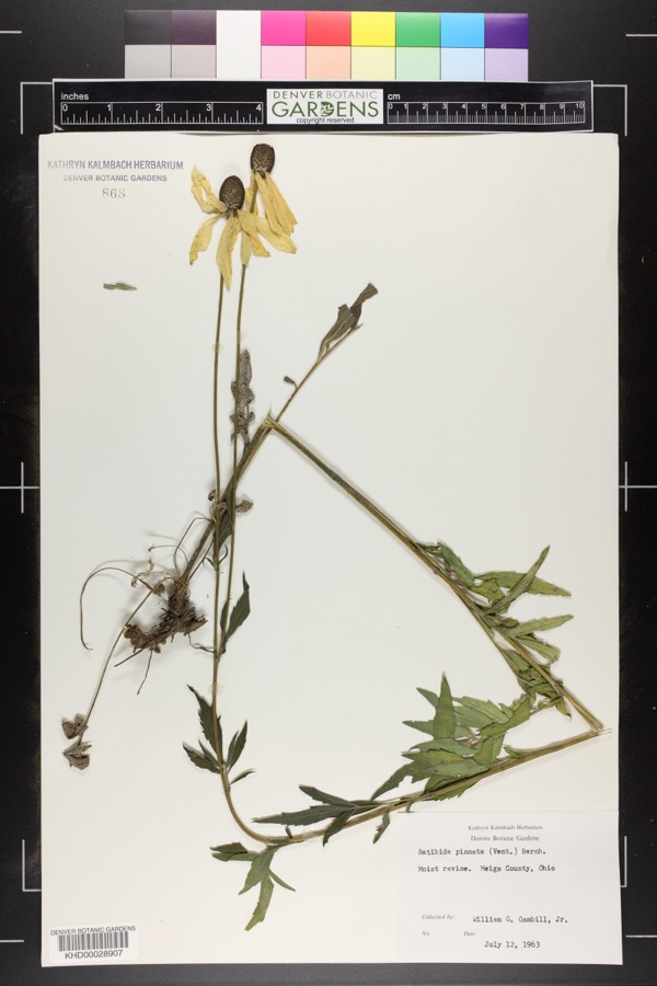
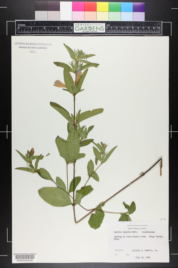
1973: 166 Animalia, 37 Plantae, 2 Fungi, 1 Chromista. 12 distinct Species records are shown.
Collected by Bartholomew, E.A.; Wilson, D., C. H. Jones, Charles M. Roberts and others. Each is a
physical object with a catalogue
number, and each entry opens the museum's record. This is what was
collected and kept, not a survey of what lives here - nothing can be
concluded from a species being absent.
Regional context, not property-specific
evidence. The federal mineral resources record lists
2 workings within 5 miles of Middleport Public Library: 1 past producer, 1 producer.
1 still produces. What was taken out: Aluminum, Sand and Gravel, Construction. Distance is straight-line from the
map coordinates, so a quarry counted here may appear on a neighbouring
settlement's page as well.
Regional context, not property-specific
evidence. The National Weather Service names
Middleport, the town this property stands in, in 23 storm reports between 1996 and 2026: 13 hail, 7 thunderstorm wind, 2 flood, 1 flash flood.
No death or injury is recorded in these reports. Each account below is quoted exactly as the forecast office
filed it, from the NOAA Storm Events Database, and each date
opens the federal record of that event.
Multiple trees and power lines were blown down onto the intersection of Main Street and Rutland Street in Middleport, which blocked the roadway for a brief period of time.
Several rivers and creeks rose out of their banks in Meigs County, leading to multiple road closures. Across the central part of the county, flooding impacted portions of Kingsbury Road, Route 143, Route 124 from Dead Mans Curve Road to State Route 325, and Noble Summit Road near McElhinney Hill Road and Bradbury Road.
Minor backwater flooding was seen along the Ohio River. The river gauge at Point Pleasant in West Virginia crested at 41.3 feet early on the 7th. Flood stage is 40 feet.
No historic map-sheet match is published
for this property yet. That does not mean no map exists. This record needs
a coordinate-quality review before it can be joined to a sheet boundary.
Browse the county's mapped places while that work is
pending.
Named in the fire insurance atlases
Sanborn surveyors printed an index of the
town's establishments at the front of each atlas. This property is named in
one, read straight off the scanned sheet.
When this property was proposed for the
National Register, someone wrote the case for it: what the building is,
and why it matters. That document is a federal record in the public domain.
It is quoted below word for word, never summarised. The text was read off the scanned case file by machine, so the
occasional stray character is the recogniser's and the 1970s
typewriter's.
Description of the property
slightly elevated lot which slopes downward to the east in a semi-residential the Library's entrance. The main facade is three bays wide with central To the left of the circulatton desk there is a stairway Teading to the basement.
The smaller room off from the circulation desk has 10 feet The entrance was made into the rear addition, so nothing was disturbed around lead to the sandstone steps and wrought iron railings which curve outward from doorway with a pedimented portico flanked on each side with single 6/6 double unexposed date ruins hung windows with brick jack arches with sandstone keystones.The entrance single sash windows with four panes on the facade and side elevations and 3/3 define the corners of the facade and north and south projections.A brick width of the lot's western edge.Steps rising from the sidewalk and a walkway wrought iron light fixture is suspended under the portico.The north and the original building.The ramp has wrought iron railing to the match the desk and reading room are separated from the lobby.by,arcaded plaster walls.
double hung sunken windows on the side projections. along the pediment and the words"Carnegie Library"inthe entablature.A Areas of Significance - Check and justify below - prehistoric - sculpture X architecture - music - philosophy .theater - industry -- politics/government - transportation . other (specify) Charles P. Kircher, Builder Statement of
Statement of significance
(in one paragraph) The Middleport Library is historically and architecturally significant for its associations with the Carnegie Corporation library grant movement of the early twentieth century and as a reflection of this small rural southeastern Ohio In 1909 the Library Board began corresponding with the Carnegie Corporation to the assessed value of property in Middleport, which amounted to $7500.00, for buy the lot on which to bulld the library. The building was completed in the for approval. His main concern was that the libraries' designs provide an distinct public building in Middleport. Cook, in tribute to his wife, Virginia Cook, Library Trustee from 1944 to 1963 1909. 1912 1600-1699 1700-1799 commerce 1500-1599 humanitarian 1400-1499 education 8.
Significance archeology-historic engineering Builder/Architect communications _1800-1899 exploration/settlement -agriculture -economics .invention Specific dates community's pride. efficient, economical interior as well as avoiding unnecessary waste of .conservation military efficient Carnegie library style espoused by James Bertram(Carnegie's private -science _literature In 1963,a children's room was added to rear.The room was given by Homer E. X. 1900 Criteria A and C fall of 1912. X_social/ -art ..law -._ community planning .landscape architecture..
In September of 1908, a small group of Middleport citizens met to chose to serve on the Library Board which would be responsible for acquiring books additional funding from the Board of Education sustained the library through receive funds for a new library facility. The foundation agreed to give 1% of Architecurally the Middleport Public Library is representative of the modest, secretary) in his "Notes on Library Buildings" published in 1911. It had not of refined Georgian Revival details through its pedimented portico, brick quoins and use of dentils along the cornice and pediment. Built by Charles P.
Quoted from the National Register nomination
for reference 86000033, 18 pages, held by the National Archives in Record
Group 79. See the
catalogue record.
Listed places nearby
3 within 8 miles
Other National Register properties close
enough to walk or drive between, ordered by distance from this one. Both
positions come from the same geocoding pass that matched these properties
to their map sheets.
Listing record. National Park Service National Register of Historic Places, listed-properties dataset, current to 2026-05-22.
Map join. Address geocoded through the United States Census geocoder, then tested against the published boundary of every sheet in the USGS Historical Topographic Map Collection.
How this page is made. Listing fields come from federal records; map-sheet coverage is a labelled coordinate-to-boundary calculation, not a source-field claim.
Wildfire. Short, Karen C. 2022. Spatial wildfire occurrence data for the United States, 1992-2020 [FPA_FOD_20221014]. 6th Edition. Fort Collins, CO: Forest Service Research Data Archive. https://doi.org/10.2737/RDS-2013-0009.6 Collected with United States Government funding and usable without additional permissions or fees.
Specimens. Global Biodiversity Information Facility (GBIF), https://www.gbif.org/. Only records licensed CC0 or CC BY are used. Records licensed CC BY-NC are excluded because this site carries advertising. Images are checked individually and any whose licence is non-commercial, no-derivatives or unreadable is refused.
Mines and quarries. USGS Mineral Resources Data System (MRDS) https://mrdata.usgs.gov/mrds/ A work of the United States government, no copyright under 17 U.S.C. 105.
Storms. NOAA National Centers for Environmental Information, Storm Events Database https://www.ncei.noaa.gov/stormevents/ A work of the United States government, no copyright under 17 U.S.C. 105. Narratives are quoted verbatim from the National Weather Service report and are not edited or summarised.
 Block
Block