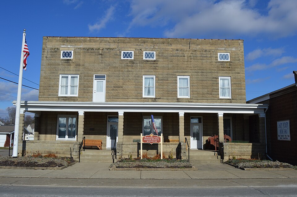
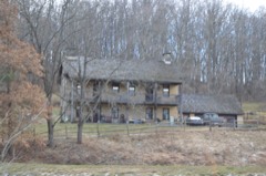
Listed on the National Register of Historic Places in
1994. A historic map-sheet match is not published yet. The record needs a coordinate-quality review before it can be joined to a sheet boundary.
From the record
“One of the township's prominent citizens, when a boy, rode several weeks with a teamster who was engaged in hauling wheat to Coshocton. The invariable custom was to stop at Eckman's for a drink ; then at Warsaw, two miles below ; then at Nathan Spencer's, in Bethlehem township, where John Bantum now lives ; next, where Samuel Burrell lives.”
History of Coshocton County, Ohio: Its Past and Present, 1740-1881. Containing a Comprehensive History of Ohio; a Complete History of Coshocton County ... a History of Its Soldiers in the Late War ... Biographies and Histories of Pioneer Families, Etc (1881). Machine-read text.
one of 16 National Register listings in Coshocton County · listed in 1994 · category: Building.
National Register reference number.94000244- the number the National Park Service assigned this property when it was listed, and the key its nomination file is catalogued under at the National Archives.
John Elder emigrated from Ireland to Virginia in 1804, and thence came, with the Darlings, to the Walhonding valley, iDj 1806. After making several other locations, he settled in Jefferson township. He died in 1851, on his farm, now occupied by his son, Cyrus Elder, a little west of Warsaw. He was a full-blooded, county Antrim, Presbyterian. He was twice married and reared a large family, still prominent in the township. During the war of 1812, he spent some months in hauling supplies to the soldiers.
Colonel William Simmons, a Virginian, who had served in the Revolutionary war as a colonel, received for his services " Simmon's section," the southeastern quarter of the township, and settled thereon about 1819. His was one of the few families who brought a carriage with them to the county ; he also brought several slaves. He is described as quiet and gentlemanly in his deportment, inclined to be hasty at times, somewhat aristocratic, and an ardent Whig in politics. The home farm was situated north of the river, the place now owned by James Frew. He died at a good old age and was buried on his farm. Charles W. Simmons, a son, was a West Point graduate, and subsequently became the proprietor of a hotel at Roscoe ; represented the county in the legislature in 1831, and afterward removed to Indiana, where he attained prominence as a politician. The only other son was William. A daughter was married to General William Carhart, the proprietor of Warsaw.
Regional context, not property-specific
evidence. The
federal wildfire occurrence database
lists 11 fires within 5 miles of Warsaw Hotel between
2007 and 2020, burning about 34 acres in total. None started naturally. None was recorded as arson.
Distance is straight-line from the map coordinates, so a fire counted
here may appear on a neighbouring settlement's page as well.
Reported cause
Fires
Debris and open burning
8
Missing data/not specified/undetermined
2
Recreation and ceremony
1
The most recent of
them, most recent first, with the day each was reported and the service
that recorded it.
Regional context, not property-specific
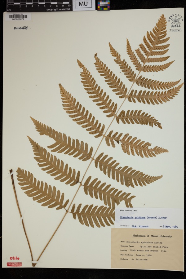
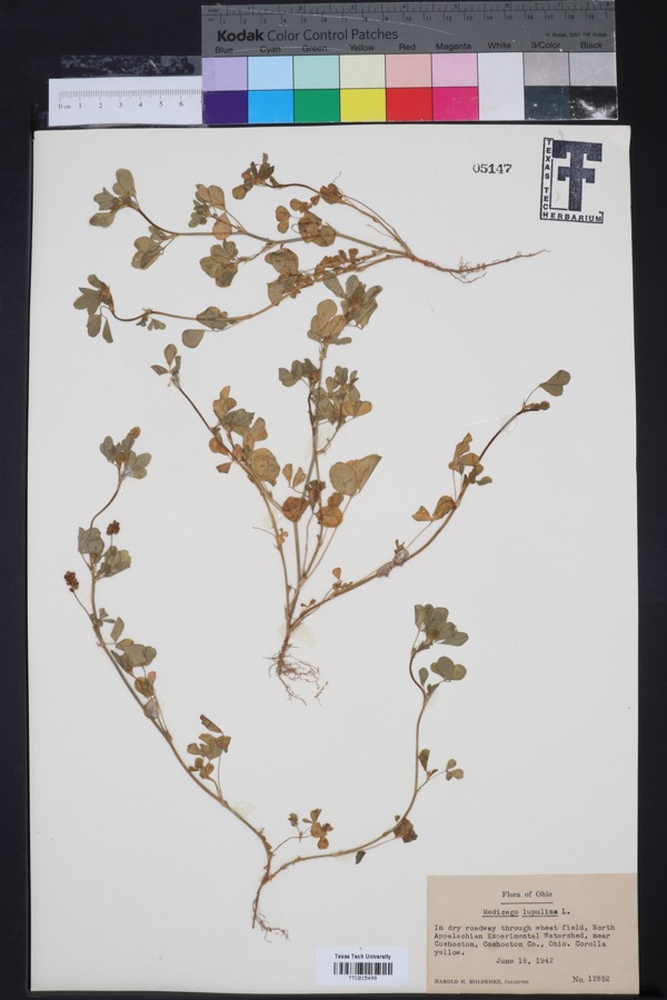
evidence. Museums hold 820 specimens
collected within 10 miles of Warsaw Hotel between 1846 and
1974: 693 Animalia, 68 Plantae, 55 Fungi, 3 Protozoa, 1 Unrecorded. 12 distinct Species records are shown.
Collected by A. D. Huryn, A. Spreitzer, Albaugh, W. F. and others. Each is a
physical object with a catalogue
number, and each entry opens the museum's record. This is what was
collected and kept, not a survey of what lives here - nothing can be
concluded from a species being absent.
Regional context, not property-specific
evidence. The federal mineral resources record lists
1 working within 5 miles of Warsaw Hotel: 1 producer.
All of them still produce. What was taken out: Flagstone. Distance is straight-line from the
map coordinates, so a quarry counted here may appear on a neighbouring
settlement's page as well.
Regional context, not property-specific
evidence. The National Weather Service names
Warsaw, the town this property stands in, in 34 storm reports between 1994 and 2025: 18 thunderstorm wind, 10 flash flood, 4 hail, 2 lightning.
The reports record 1 death. Each account below is quoted exactly as the forecast office
filed it, from the NOAA Storm Events Database, and each date
opens the federal record of that event.
Local media reported a 9 year old boy was struck by lightning and later died. The boy was outside attempting to bring horses into a barn when he was struck.
School buses stranded by flash flood at intersection of County Road 41 and Township Road 78. Another person stranded in car, surrounded by high water, on Township Road 48. Bridge washed out on State Route 60. Doppler radar estimated that on Simmons Run, more than 3 inches of rain fell from 2 to 3 pm EDT with a total of 6.2 inches, from 1 pm to 4 pm EDT. On Flint Run, more than 3.5 inches of rain fell from 2 to 3 pm EDT, with a total of 6.9 inches from 1 pm to 4 pm EDT. Flooding of State Route 60, Township Road 55, and County Road 41 continued through 9 PM EDT.
At 9 AM EDT, State Rte 715 was flooded and closed behind Mohawk Dam Also, along Killbuck Creek these roads flooded: SR 60 from Layland to Blissfield, southward to Rte 36. County Rd 24 near Metham flooded. At 11 PM EDT on the 17th, several roads remained flooded. At 1002 PM EDT on the 17th, Rte 83 flooded 8 miles north of Coshocton.
No historic map-sheet match is published
for this property yet. That does not mean no map exists. This record needs
a coordinate-quality review before it can be joined to a sheet boundary.
Browse the county's mapped places while that work is
pending.
From the nomination file
3,270 words on record
When this property was proposed for the
National Register, someone wrote the case for it: what the building is,
and why it matters. That document is a federal record in the public domain.
It is quoted below word for word, never summarised. The text was read off the scanned case file by machine, so the
occasional stray character is the recogniser's and the 1970s
typewriter's.
Statement of significance
[X locally Architect/Bullder State significance of property, and justify criteria, criteria considerations, and areas and periods of significance noted above. See attached continuation sheets. X See continuation sheet ARCHITECTURE Unknown nationally Applicable National Register Criteria Significant Dates SOCIAL HISTORY Criteria Considerations (Exceptions) Areas of Significance (enter categories from instructions) statewide Signjficant Person T906 United States Department of the Interlor National Park Service Warsaw Hotel, Coshocton Co., OH sanitarium by Dr. Wright for eleven years. In the 1984 Warsaw Sesquicentenial Dr.
Wright was referred to as practice of medicine here (Warsaw)." 2 officer of the (Warsaw) Grand Army of the Republic, Hawthorne Tent the area to have an automobile.3 used as a boarding house and apartments, the building also housed Continuatlon Sheet sold the hotel/sanitarium to Dr.J.E. Hahn.Although continually The Warsaw Hotel is architecturally significant (Criterion had occupied the present site of the Warsaw Hotel until purchased Hotel until after the Civil War when it became the Sherman House, of the building entitled "Commercial Hotel and Sanitarium, their annual banquet at the Commercial Hotel in Warsaw.
since its establishment."i A l9l3 postcard exists showing a picture was opened as both a hotel (called the Commercial Hotel) and as a Dr.Wright was also mentioned in the newspaper as being an car just stopped running and a horse-drawn surrey was sent to The Warsaw sesquicentenial history4 of 1984 referred to Dr.E.
Quoted from the National Register nomination
for reference 94000244, 24 pages, held by the National Archives in Record
Group 79. See the
catalogue record.
Listed places nearby
2 within 8 miles
Other National Register properties close
enough to walk or drive between, ordered by distance from this one. Both
positions come from the same geocoding pass that matched these properties
to their map sheets.
Listing record. National Park Service National Register of Historic Places, listed-properties dataset, current to 2026-05-22.
Map join. Address geocoded through the United States Census geocoder, then tested against the published boundary of every sheet in the USGS Historical Topographic Map Collection.
How this page is made. Listing fields come from federal records; map-sheet coverage is a labelled coordinate-to-boundary calculation, not a source-field claim.
Wildfire. Short, Karen C. 2022. Spatial wildfire occurrence data for the United States, 1992-2020 [FPA_FOD_20221014]. 6th Edition. Fort Collins, CO: Forest Service Research Data Archive. https://doi.org/10.2737/RDS-2013-0009.6 Collected with United States Government funding and usable without additional permissions or fees.
Specimens. Global Biodiversity Information Facility (GBIF), https://www.gbif.org/. Only records licensed CC0 or CC BY are used. Records licensed CC BY-NC are excluded because this site carries advertising. Images are checked individually and any whose licence is non-commercial, no-derivatives or unreadable is refused.
Mines and quarries. USGS Mineral Resources Data System (MRDS) https://mrdata.usgs.gov/mrds/ A work of the United States government, no copyright under 17 U.S.C. 105.
Storms. NOAA National Centers for Environmental Information, Storm Events Database https://www.ncei.noaa.gov/stormevents/ A work of the United States government, no copyright under 17 U.S.C. 105. Narratives are quoted verbatim from the National Weather Service report and are not edited or summarised.
 Block
Block