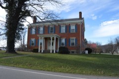
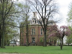
Listed on the National Register of Historic Places in
1980. A historic map-sheet match is not published yet. The record needs a coordinate-quality review before it can be joined to a sheet boundary.
From the record
“The First Presbyterian church of Keene was incorporated February 25, 1835, with the following membership : Timothy Emerson, John Elliott, Robert Farwell, Calvin Adams, John Shannon and Jacob Emerson. Previously, these members belonged to the " congregation of Coshocton and Mill creek," which had been organized many years before.”
History of Coshocton County, Ohio: Its Past and Present, 1740-1881. Containing a Comprehensive History of Ohio; a Complete History of Coshocton County ... a History of Its Soldiers in the Late War ... Biographies and Histories of Pioneer Families, Etc (1881). Machine-read text.
one of 16 National Register listings in Coshocton County · listed in 1980 · category: Building.
National Register reference number.80002966- the number the National Park Service assigned this property when it was listed, and the key its nomination file is catalogued under at the National Archives.
Three-fourths of the township is military land, the first section, or the northeastern quarter of the township, being congress land. The second section, or northwestern quarter, was surveyed by the government into lots of one hundred acres each, which were entered severally from time to time, as they were demanded. The third section of the township, its southwestern quarter, belonged originally to Robert Underwood, his patent for the land being from the President of the United States, beine dated March 29, 1800. Mr. Underwood was a government official in the treasury department at Washington, and never resided in Coshocton county. His section was located for him by J. Matthews. For his services in locating this section and several other sections, Matthews received from Mr. Underwood a five hundred acre tract of land in the southeastern part of this section. This tract was shortly after conveyed by Matthews to Ebenezer Buckingham, and by Buckingham to Benjamin Burrell, who settled upon it. Underwood had his section surveyed into lots of about one hundred acres each, which he sold gradually to settlers coming in, until all were disposed of. The fourth section, or the southeastern quarter of the township, was granted May 16, 1800, by President Adams to James Hamilton, of Carlisle, Pennsylvania. He, too, was a non-resident of the county, and sold the land by parcejs to settlers.
The Underwood section was the first part of the township to be settled. One of the first attempts at mill building in Coshocton county was made in this section, on Mill creek. It was about the year 1801 that Ebenezer Buchingham, of Zanesville, had a dam for a saw-mill constructed on his land in this section, within 200 yards of where M. McCarty now lives ; but it was swept away the same fall during high waters, and the project in consequence abandoned. According to another account, the work of building the dam was done by George Colver and another man, and before it was completed one of the men died from the effects of a rattlesnake bitfe. This caused the other to relinquish work and return to Zanesville. Benjamin Burrell, a few years later, about 1807, settled here. He was from Frederick county, Maryland, and- died soon after the war of 1812.
Regional context, not property-specific
evidence. The
federal wildfire occurrence database
lists 19 fires within 5 miles of Milligan, Cuthbert, House between
2003 and 2020, burning about 28 acres in total. None started naturally. None was recorded as arson.
Distance is straight-line from the map coordinates, so a fire counted
here may appear on a neighbouring settlement's page as well.
Reported cause
Fires
Debris and open burning
10
Missing data/not specified/undetermined
4
Smoking
2
Recreation and ceremony
2
Power generation/transmission/distribution
1
The most recent of
them, most recent first, with the day each was reported and the service
that recorded it.
Regional context, not property-specific
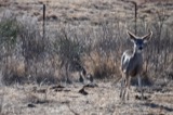
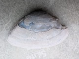
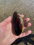
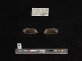
evidence. Museums hold 1,432 specimens
collected within 10 miles of Milligan, Cuthbert, House between 1846 and
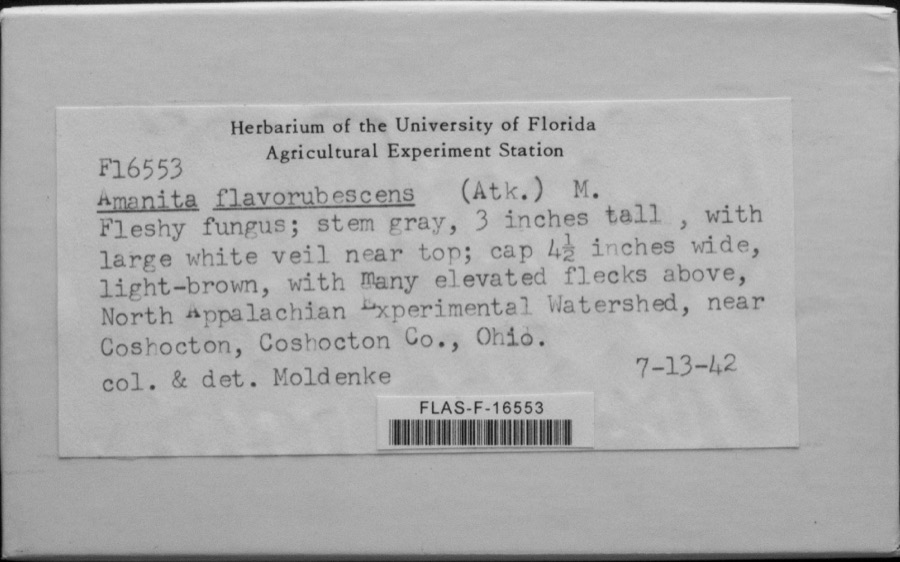
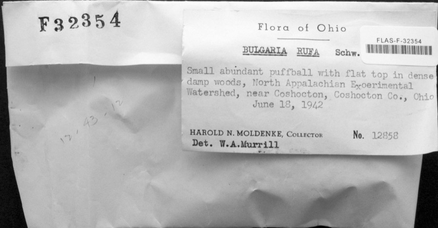
1974: 694 Animalia, 611 Plantae, 117 Fungi, 4 Bacteria, 4 Protozoa, 2 Unrecorded. 12 distinct Species records are shown.
Collected by A. D. Huryn, A. Spreitzer, Albaugh, W. F. and others. Each is a
physical object with a catalogue
number, and each entry opens the museum's record. This is what was
collected and kept, not a survey of what lives here - nothing can be
concluded from a species being absent.
Regional context, not property-specific
evidence. The federal mineral resources record lists
4 workings within 5 miles of Milligan, Cuthbert, House: 2 past producers, 2 producers.
2 still produce. What was taken out: Sand and Gravel, Construction. Distance is straight-line from the
map coordinates, so a quarry counted here may appear on a neighbouring
settlement's page as well.
Regional context, not property-specific
evidence. The National Weather Service names
Coshocton, the town this property stands in, in 117 storm reports between 1994 and 2025: 71 thunderstorm wind, 25 hail, 16 flash flood, 4 flood.
No death or injury is recorded in these reports. Each account below is quoted exactly as the forecast office
filed it, from the NOAA Storm Events Database, and each date
opens the federal record of that event.
Local emergency manager reports trees and wires down across the county; 3 utility poles were snapped from the bottom in a row laying the same direction along Magnolia Street.
Trees and power lines blown down in Nellie, Coshocton, and Warsaw. Some fell on 12th St in Coshocton. 10 large trees fell in the Warsaw-West Lafayette area.
No historic map-sheet match is published
for this property yet. That does not mean no map exists. This record needs
a coordinate-quality review before it can be joined to a sheet boundary.
Browse the county's mapped places while that work is
pending.
From the nomination file
1,340 words on record
When this property was proposed for the
National Register, someone wrote the case for it: what the building is,
and why it matters. That document is a federal record in the public domain.
It is quoted below word for word, never summarised. The text was read off the scanned case file by machine, so the
occasional stray character is the recogniser's and the 1970s
typewriter's.
Description of the property
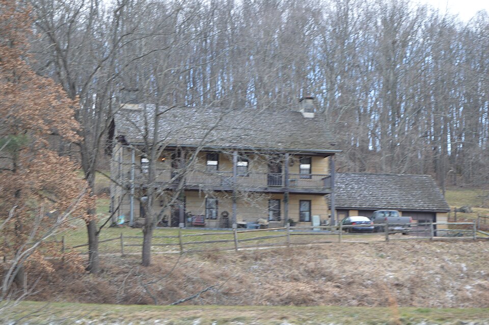
porch and second story balcony have been removed leaving four square postholes across the main facade and a large stone porch floor extending from the foundation.There end as a ground level entrance.The house has an unusual number of doors all of A small wood shed stands a distance from the main structure and a split rail Check one Condition had no noticeable alterations over the years. _ original site The once shingled gable roof has been restored and there are two bays on the gable another window was cut just to the right. Two tiny attic windows, six panes each, deteriorated fair The Old Stone House isa two story rectangular stone building constructed of Areas of Significance - Check and justify below - science _ sculpture _ social/ _music - transportation other (specify) Statement of
Statement of significance
(in one paragraph) crafted large rectangular stone blocks which cover the entire exterior. The interior guished by its unusual plan, which features eight exterior doors on two levels, and Cuthbert Milligan emigrated to Ohio from Harding County, Virginia in 1815. He purchased a section of land in nearby Keene township. The Milligan family lived in a log cabin during the construction of the stone house which was begun in 1828 and completed in 1830. John C. Milligan, one of their 12 children was given a part of himself by serving in the Civil War, re-enlisting, and joining Sherman on his march to the sea. He filled a number of township positions, was a member of the Board of Ed- ucation, and the justice of the peace in Keene Township.
His maternal grandfather 1500-1599 1400-1499 invention engineering theater industry Period literature education 1800-1899 Builder/Architect 1700-1799art agriculture 1900- law pre Civil War stone residence.Its unusual.craftsmanship is reflected in meticulously communications 8. Significance by its picturesque rural setting. has not suffered from modernization over the years, but has remained in a primitive military original state until the recent restoration now underway. The building is also distin- the old homestead and cultivated it until 1890 when he moved to Coshocton.The Milli- was then owned by series of owners.The Thomas J.
Weavers are the present owners -economics father's death in 1883,900 acres was to be divided among the family.The house fifty thousand pounds if he would serve England.He refused.At the time of his was on Washington's staff and was rendered so valuable that the British offered him and are in the process of restoring the structure. - conservation - politics/government - prehistoric - community planning - archeology-historic - philosophy gan family was respected by the Coshocton community. John C.
Quoted from the National Register nomination
for reference 80002966, 9 pages, held by the National Archives in Record
Group 79. See the
catalogue record.
Listed places nearby
6 within 8 miles
Other National Register properties close
enough to walk or drive between, ordered by distance from this one. Both
positions come from the same geocoding pass that matched these properties
to their map sheets.
Listing record. National Park Service National Register of Historic Places, listed-properties dataset, current to 2026-05-22.
Map join. Address geocoded through the United States Census geocoder, then tested against the published boundary of every sheet in the USGS Historical Topographic Map Collection.
How this page is made. Listing fields come from federal records; map-sheet coverage is a labelled coordinate-to-boundary calculation, not a source-field claim.
Wildfire. Short, Karen C. 2022. Spatial wildfire occurrence data for the United States, 1992-2020 [FPA_FOD_20221014]. 6th Edition. Fort Collins, CO: Forest Service Research Data Archive. https://doi.org/10.2737/RDS-2013-0009.6 Collected with United States Government funding and usable without additional permissions or fees.
Specimens. Global Biodiversity Information Facility (GBIF), https://www.gbif.org/. Only records licensed CC0 or CC BY are used. Records licensed CC BY-NC are excluded because this site carries advertising. Images are checked individually and any whose licence is non-commercial, no-derivatives or unreadable is refused.
Mines and quarries. USGS Mineral Resources Data System (MRDS) https://mrdata.usgs.gov/mrds/ A work of the United States government, no copyright under 17 U.S.C. 105.
Storms. NOAA National Centers for Environmental Information, Storm Events Database https://www.ncei.noaa.gov/stormevents/ A work of the United States government, no copyright under 17 U.S.C. 105. Narratives are quoted verbatim from the National Weather Service report and are not edited or summarised.
 Block
Block