87 topographic sheets and 12 fire insurance
atlases across 2 places.
Research this county
This curated hub for Coshocton County, Ohio brings together the page's documented record links, visible map or image evidence where published, and routes to related local records.
Use the page's provenance and linked records to distinguish the source material from the site's navigation and summaries.
How should I cite it?
Open the original record, preserve its repository and identifier, then use the citation tool for this page as a path back to the source.
Where should I go next?
Follow the county or state hub for related places and records, then use the guide for a source-aware research sequence.
From the record
“The Killing of Cartmill, " the Post-Boy." 2. Fires in Roscoe - An Incident and a Joke. 5. Relics and Curiosities in Personal Possession. 7.”
Miscellaneous Matters - Centennial History of Coshocton County, Ohio (1909). Machine-read text.
16 National Register listings · 40 businesses named in the fire insurance atlases from 1884 to 1946 · the 1909 county history tells 6 stories and names 2 people · people the book names include Chapter V. 1248178 (Coshocton City, 1876) · Voorhes Captain Richard Marion (White Eyes Township, 1881) (machine-read).
Ohio within the United StatesCoshocton County within Ohio
Explore by year
What the record shows
2 places in this county were surveyed for fire insurance: Coshocton, West Lafayette, between 1884 and 1962.
12 fire insurance atlas(es) survive for the county. Topographic coverage is national; fire insurance survey reached only incorporated places with something worth insuring.
927 topographic sheet readings cover the county's settlements.
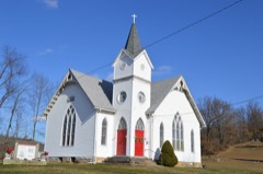
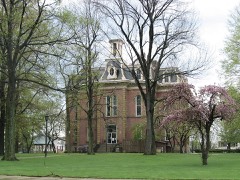
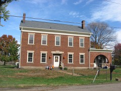
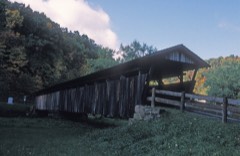
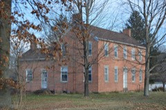
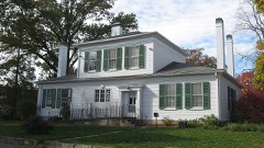
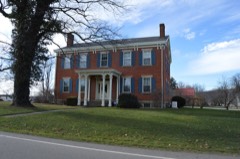
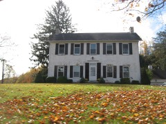
16 properties here are on the National Register of Historic Places, including 1 covered bridge, 10 houses and farms.
6 of the 16 listings were added during the 1970s.
The Geographic Names Information System records 65 populated places in this county; 0 are covered by at least one topographic sheet.
6 public-domain county histories, 1876 to 1909, supply 652,825 words of narrative reproduced here in full.
What happened here
6 accounts
A captivity, a drowning, a famine, a man
scalped clearing his lot in 1789. These are passages from Centennial History of Coshocton County, Ohio, written
while people who remembered the events were still alive, and each one
opens the section it comes from.
1909, Coshocton City
Chapter Xix
Miscellaneous Matters - 1. The Pre-Historic Race. 2. Ancient Burial Grounds. 3. Meaning of the names Muskingum, Tuscarawas, and Walhonding. 4. Prose Legend of the Walhonding. 5. Heckwelder's Famous Ride. 6. Temperance Crusade among the Indians. 7. The Gnadenhutten Massacre. 8. Curious Stories Touching Captives Reclaimed by Boquet.
1. Tl\e Prc-Historic Race. 2. Ancient Burial Groxmds. 3. Meaning of the names 3Iuskivgum, Tuscarawas, and Walhonding. 4. Prose Legend of the Walhonding. 5. Heckiv elder s Famous Ride. 6. Temperance Crusade among the Indians. 7. Gnadenhuiten Massacre. 8. Curious Stories Touching Captives Reclaimed by Colonel Boquet.
1. The Killing of Carimill, " the Post-Boy." 2. Shocking Murders in Coshocton County. 3. Colored People in Coshocton County. 4. Fires in Roscoe - An Incident and a Joke. 5. A Bundle of First Things. 6. Relics and Curiosities in Personal Possession. 7. Coshocton Wags in Early Days. 8. The Treasury Robbery. 9. Humor of the Crusade.
Miscellaneous Matters - 1. The Pre-Historic Race. 2. Ancient Burial Grounds. 3. Meaning of the names Muskingum, Tuscarawas, and Walhonding. 4. Prose Legend of the Walhonding. 5. Heckwelder''s Famous Ride. 6. Temperance Crusade among the Indians. 7. The Gnadenhutten Massacre. 8. Curious Stories Touching Captives Reclaimed by Boquet.
1. The Killing of Cartmill, " the Post-Boy." 2. Shocking Murders in Coshocton County. 8. Colored People in Coshocton County. 4. Fires in Roscoe - An Incident and a Joke. 5. A Bundle of First Things. 6. Relics and Curiosities in Personal Possession. 7. Coshocton Wags in Early Days. 8. The Treasury Robbery. 9. Humor of the Crusade.
Tur whole Tuscarawas valley was excited in 1825 by the murder of William Cartmill. He was shot from his horse, while carrying the mail, at a point just beyond the line of Coshocton county, in what in those days was called 'the Wilderness," near by a station on the Marietta and Cleveland railroad, a few miles south of New Comerstown, now called Post Boy.
Taken for the Office of War Information and
the Farm Security Administration, who photographed the country between
1935 and 1944. Works of United States government photographers, with no
known restriction on use. Each opens its catalogue record.
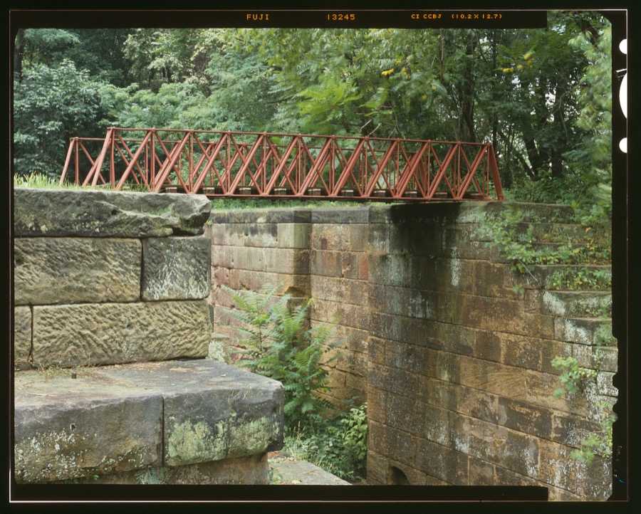
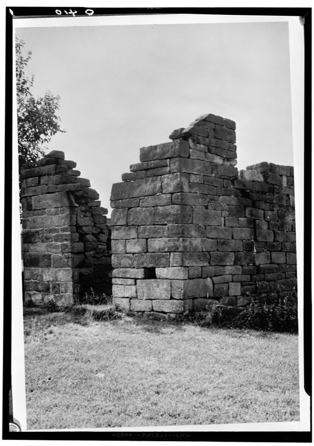
Towpath Bridge, Spanning a lock of Ohio & Erie Canal, Coshocton, Coshocton County, OH Unattributed, . Library of CongressOld Stone Fort, North of Isleta, Isleta, Coshocton County, OH Unattributed, . Library of Congress
Places on the National Register
16
Every property in this county listed on the
National Register of Historic Places, with the year it was listed and the
federal nomination document.
Coshocton County holds 1 covered bridges on
the National Register, more than any other property type here. Each is a listed
structure with a federal nomination on file.
Drawn when these were printed as
single large sheets: the town seen from the air, and the county
divided into its farms with every owner named. Each opens the
original at the Library of Congress.
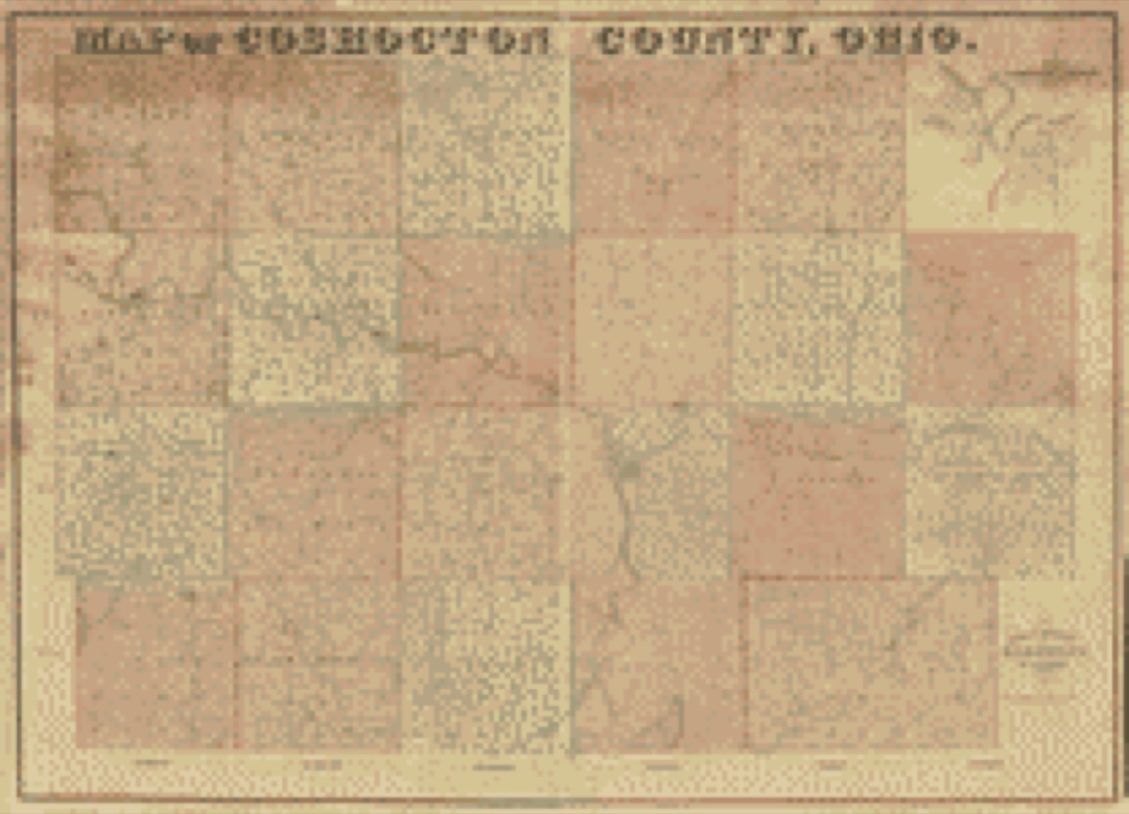
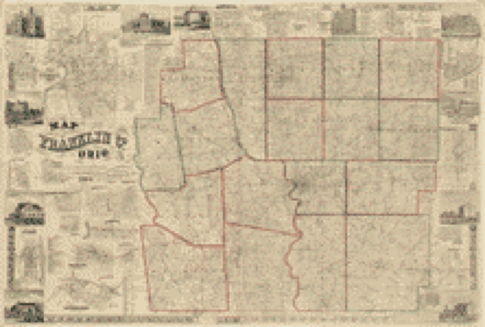
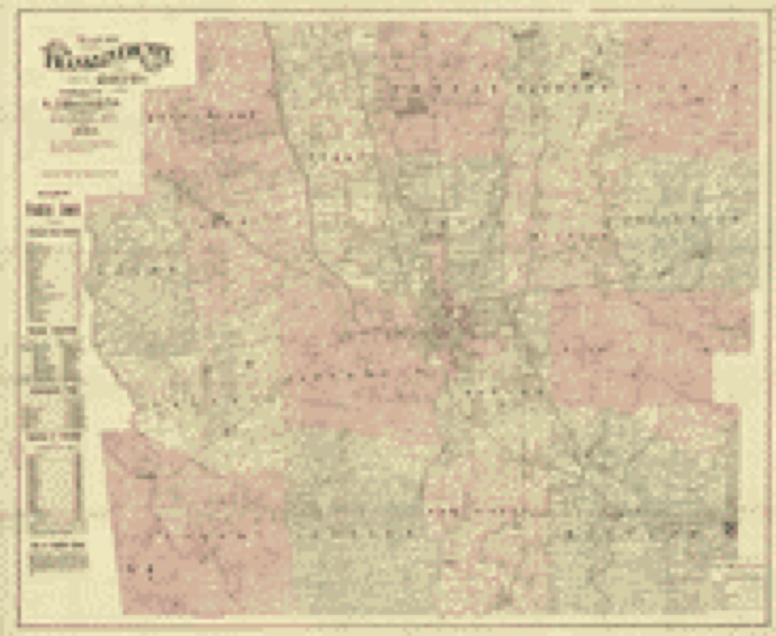
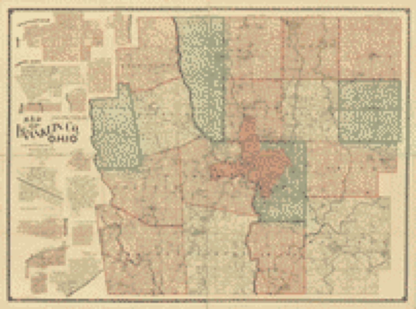
Land ownership map (1850) - Map of Coshocton County, Ohio. Library of Congress.Land ownership map (1856) - Map of Franklin Co., Ohio. Library of Congress.Land ownership map (1883) - Map of Franklin County, Ohio. Library of Congress.Land ownership map (1895) - Map of Franklin County, Ohio. Library of Congress.
Photographs from libraries nationwide
1 shown
Selected from the Digital Public Library
of America's 1 image records catalogued for this county. Every
one shown here carries a public-domain status or a licence that permits
reuse on a site that carries advertising; non-commercial, share-alike
and restricted images are excluded. The selection is spread across the
county's towns (at most eight per town), so no single institution's
bulk upload crowds out the rest. Each opens the holding library's
record, and
the complete set at the
Digital Public Library of America is one click away.
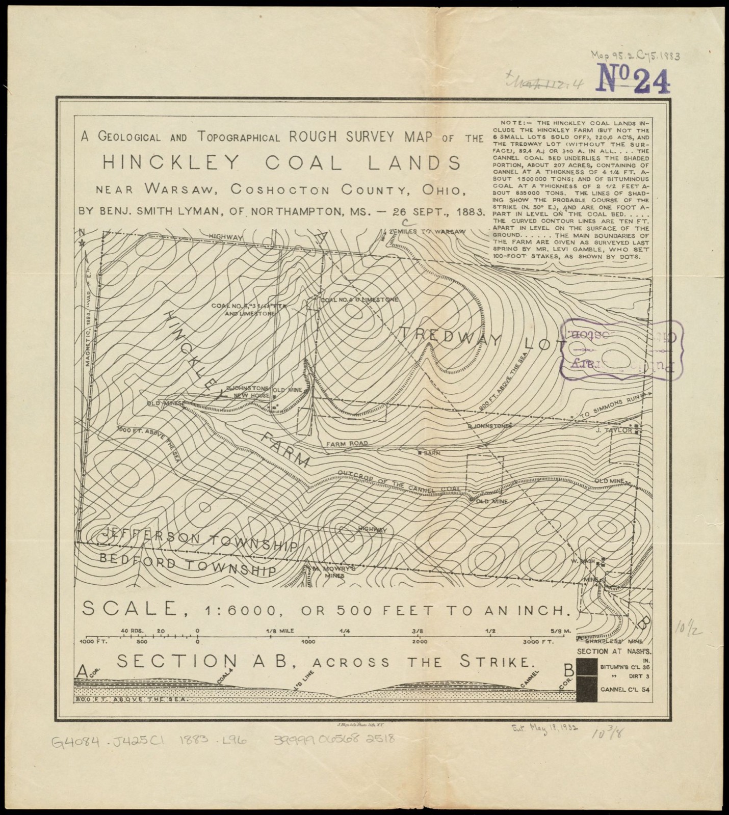
A geological and topographical rough survey map of the Hinckley Coal Lands near Warsaw, Coshocton County, Ohio. Lyman, Benjamin Smith, 1835-1920, Boston Public Library, via the Digital Public Library of America.
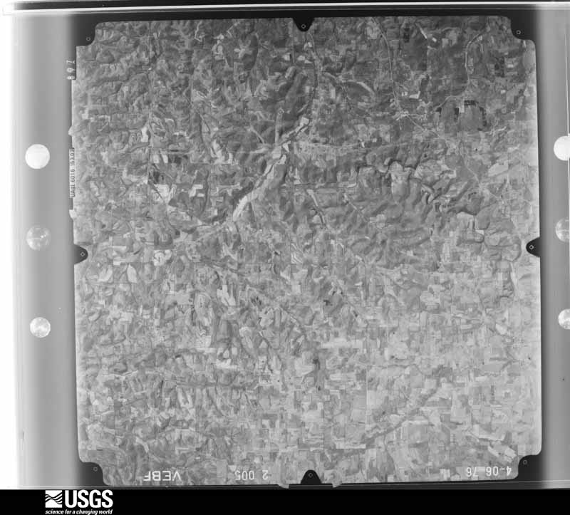
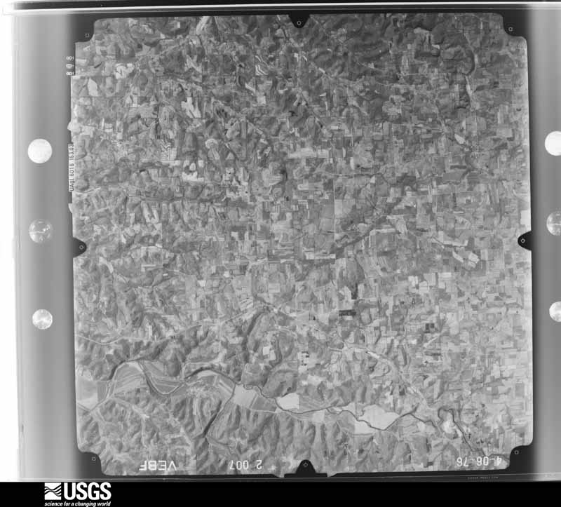
The county from the air
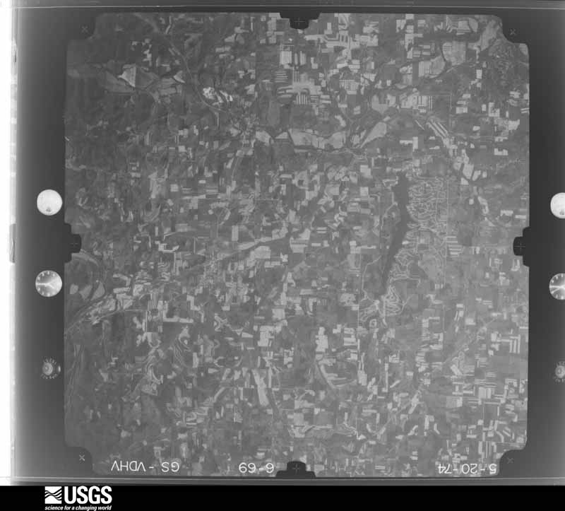
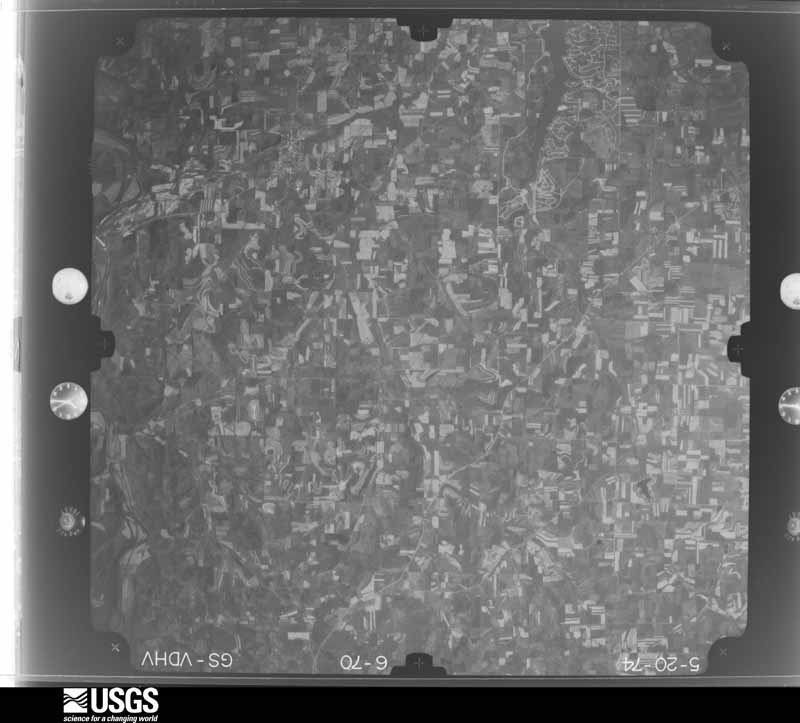
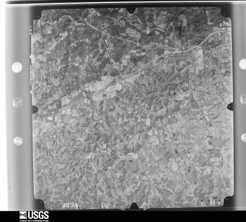
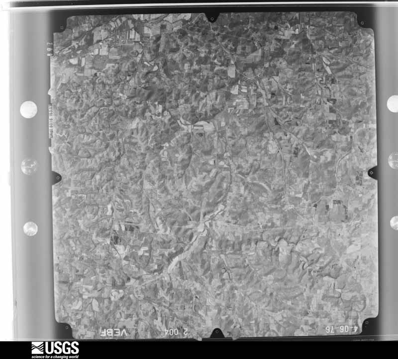
26 of 360 shown
Flown by the U.S. Geological Survey
between 1937 and 1989, the Aerial Photo Single Frames collection is
the definitive mid-century view of the land: fields, roads and rivers
as the camera saw them. 360 frames touch this county; the
selection below spreads across the decades of flights (at most four
per year), so one flight cannot crowd out the rest. The full set is
free to browse and download at
EarthExplorer under the dataset Aerial Photo Single
Frames.
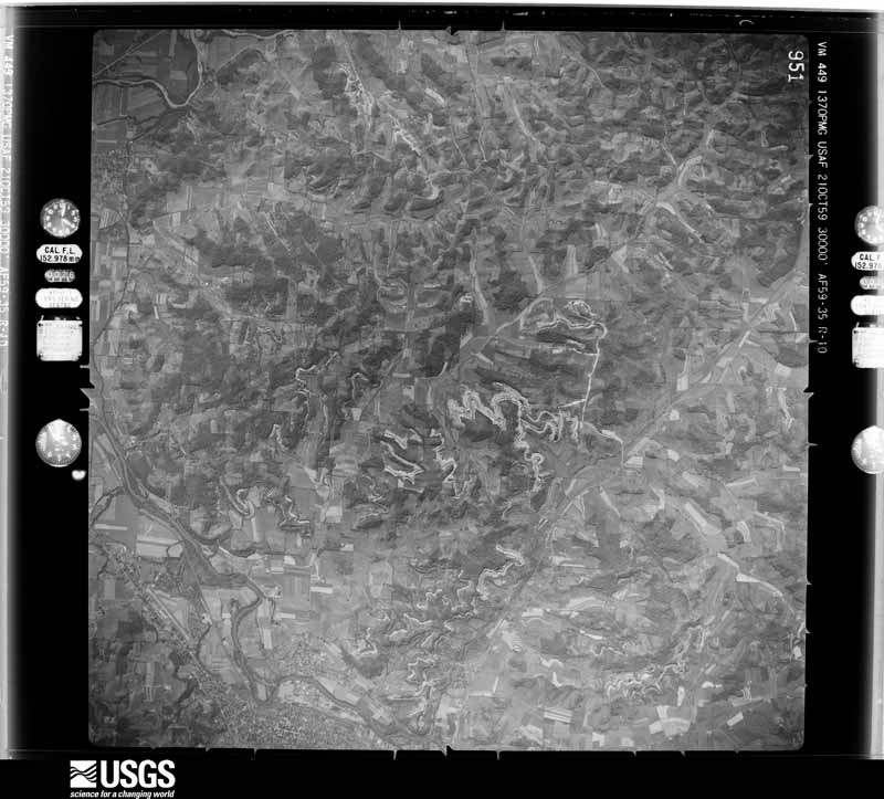
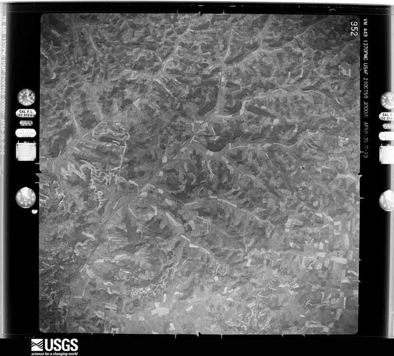
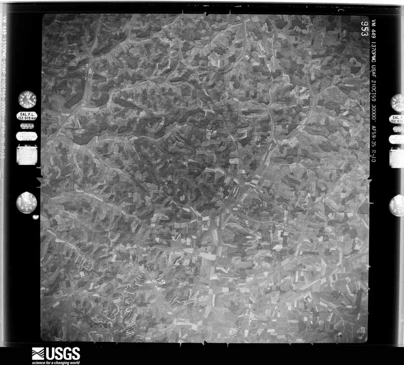
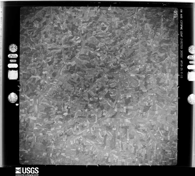
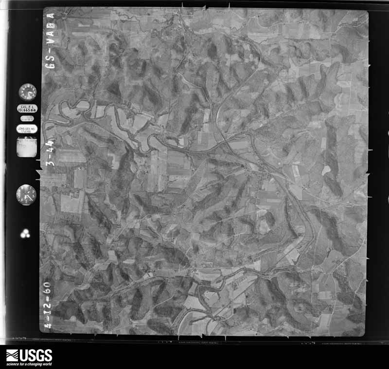
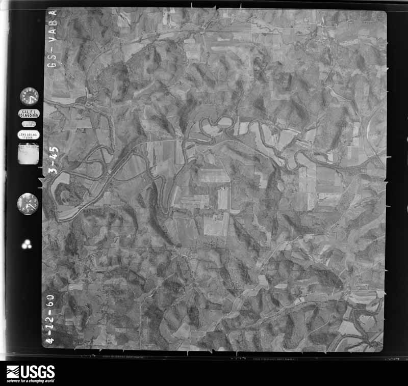
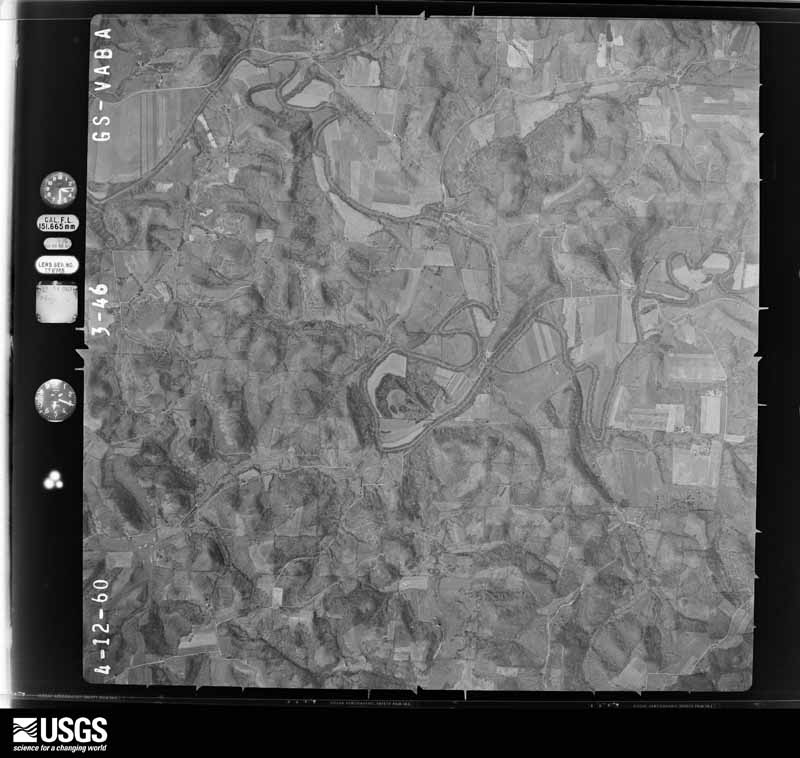
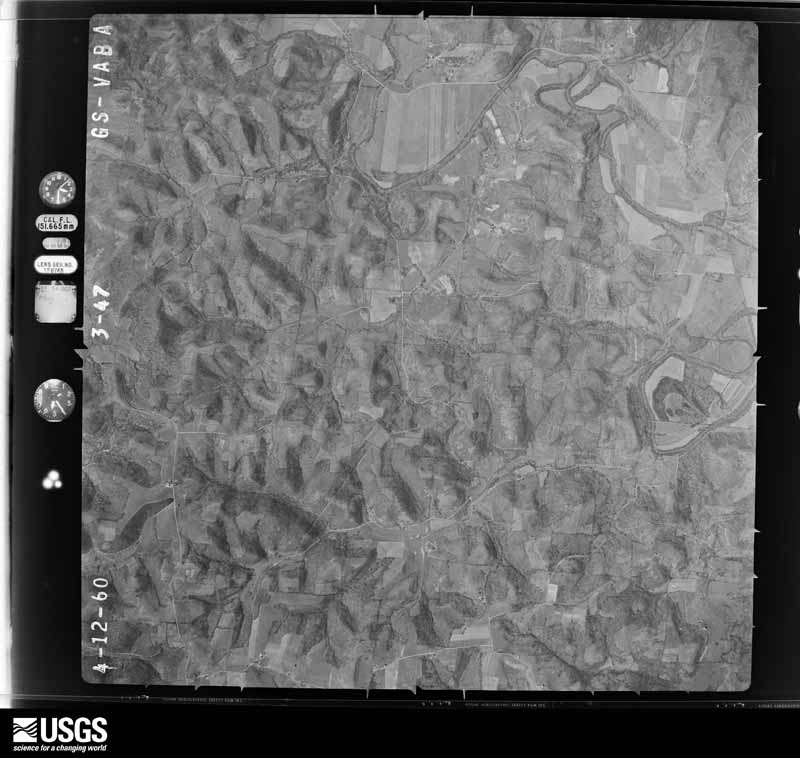
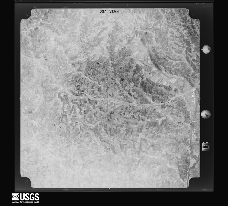
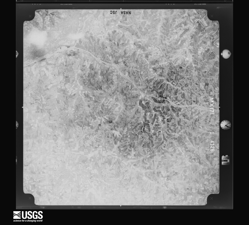
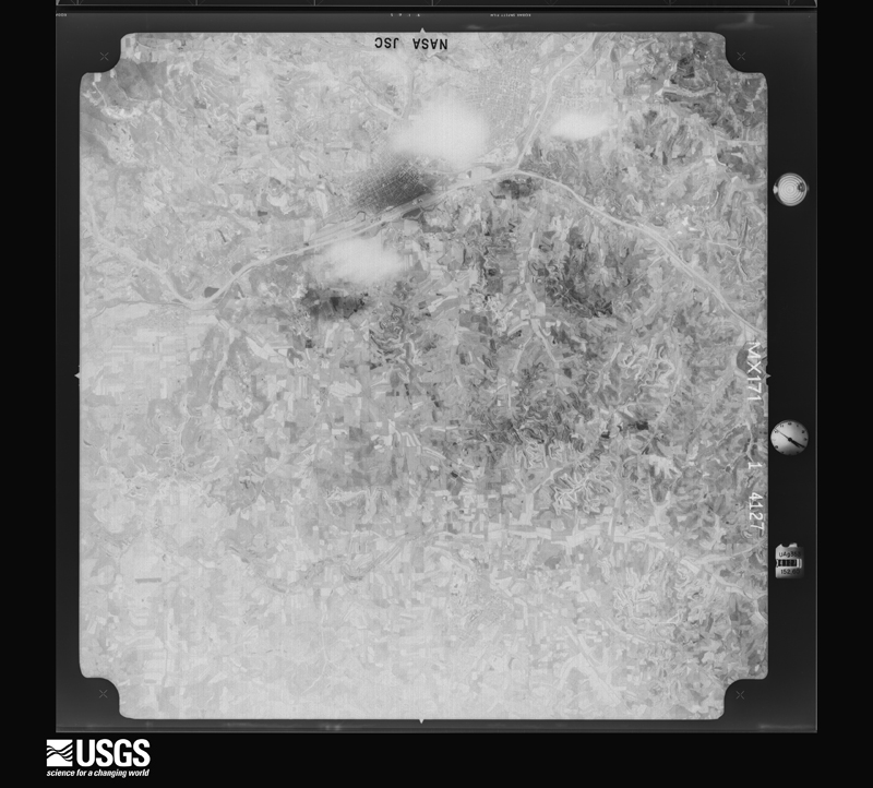
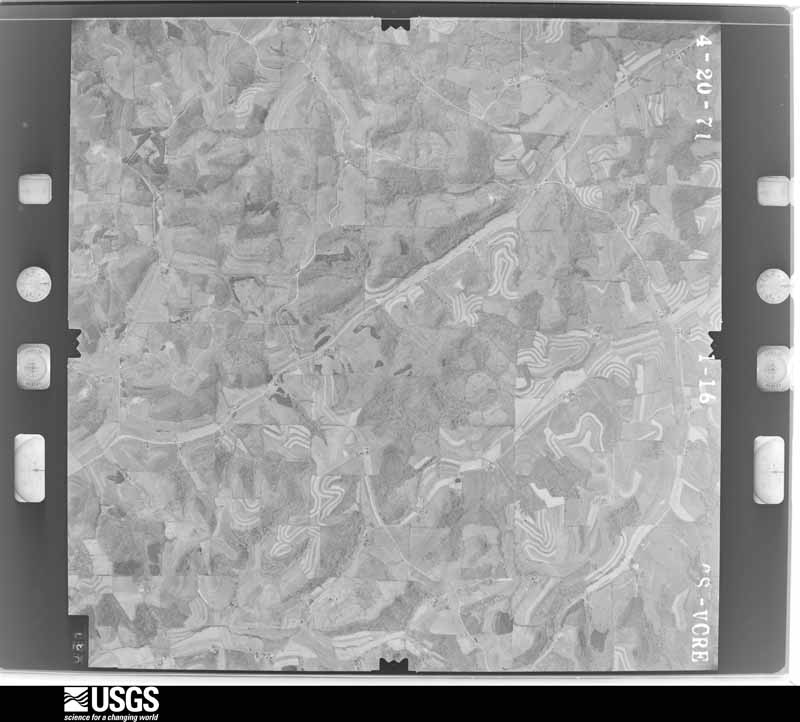
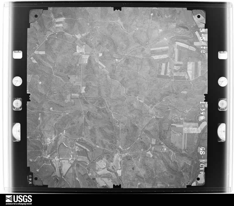
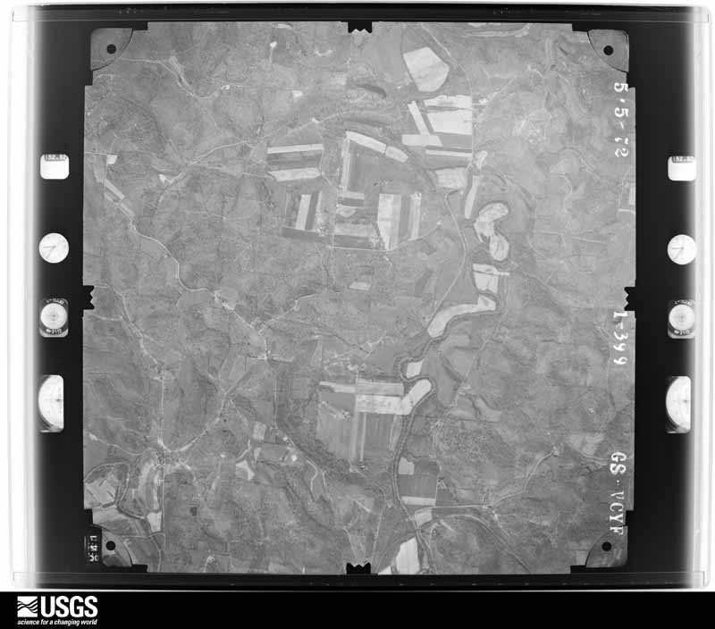
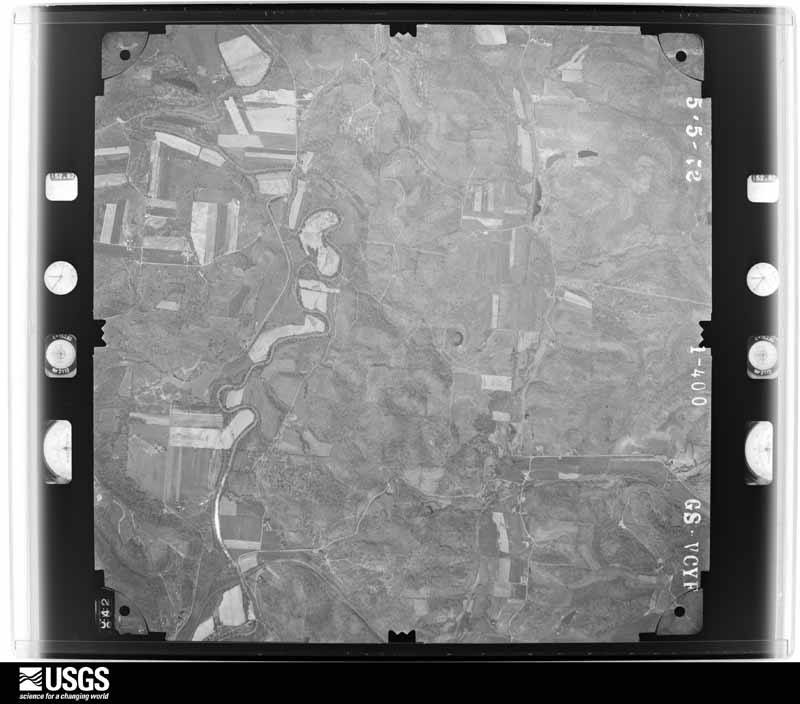
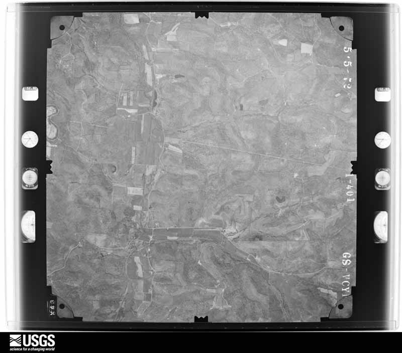
1948-09-01, scale 1:77875. U.S. Geological Survey aerial photograph.1948-09-01, scale 1:77875. U.S. Geological Survey aerial photograph.1948-09-01, scale 1:76884. U.S. Geological Survey aerial photograph.1948-09-01, scale 1:76884. U.S. Geological Survey aerial photograph.1959-10-21, scale 1:60000. U.S. Geological Survey aerial photograph.1959-10-21, scale 1:60000. U.S. Geological Survey aerial photograph.1959-10-21, scale 1:60000. U.S. Geological Survey aerial photograph.1959-10-21, scale 1:60000. U.S. Geological Survey aerial photograph.1960-04-23, scale 1:29000. U.S. Geological Survey aerial photograph.1960-04-23, scale 1:29000. U.S. Geological Survey aerial photograph.1960-04-23, scale 1:29000. U.S. Geological Survey aerial photograph.1960-04-23, scale 1:29000. U.S. Geological Survey aerial photograph.1971-04-16, scale 1:98058. U.S. Geological Survey aerial photograph.1971-04-16, scale 1:98058. U.S. Geological Survey aerial photograph.1971-04-16, scale 1:98058. U.S. Geological Survey aerial photograph.1971-05-09, scale 1:24000. U.S. Geological Survey aerial photograph.1972-05-10, scale 1:24000. U.S. Geological Survey aerial photograph.1972-05-10, scale 1:24000. U.S. Geological Survey aerial photograph.1972-05-10, scale 1:24000. U.S. Geological Survey aerial photograph.1972-05-10, scale 1:24000. U.S. Geological Survey aerial photograph.1974-05-01, scale 1:76000. U.S. Geological Survey aerial photograph.1974-05-01, scale 1:76000. U.S. Geological Survey aerial photograph.1976-04-01, scale 1:80000. U.S. Geological Survey aerial photograph.1976-04-01, scale 1:80000. U.S. Geological Survey aerial photograph.1976-04-01, scale 1:80000. U.S. Geological Survey aerial photograph.1976-04-01, scale 1:80000. U.S. Geological Survey aerial photograph.
City directories
2 volumes
The "who lived here, by year" answer:
pre-1929 public-domain directory volumes naming the county's people,
machine-read and searchable as text.
The thermometers that kept this
county's weather, and the gages that watched its rivers, as the
federal records hold them. The extremes below are measured values
from those records, not estimates.
NELLIE1894 to 1915, hottest 40.6 C, coldest -36.1 C
Who lived here in 1950, one enumeration
district at a time, as the Census Bureau described each district.
Each row opens its official National Archives result, with Population
Schedules and ED Maps available there.
16-26Tuscarawas township: Coshocton city: Coshocton city - That part of Ward 1 Bounded by City limits; Ward line, Fifth; Locust; City limits
16-27Coshocton city - That part of Ward 1 Bounded by Locust; Fifth; Main; City limits
16-28Coshocton city - That part of Ward 1 Bounded by Main; Fifth; Elm, Third, Mulberry; City limits
16-29Coshocton city - That part of Ward 1 Bounded by Mulberry, Third, Elm; Fifth; City limits; City limits
16-30Coshocton city - That part of Ward 2 Bounded by Main; Eighth, Burt Ave., Orange, Seventh; Vine; Fifth
16-31Coshocton city - That part of Ward 2 Bounded by Vine; Seventh; City limits; City limits, Fifth
16-32Coshocton city - That part of Ward 3 Bounded by City limits; City limits; City limits, Coshocton - New Comerstown Rd., Chestnut; Wheeling & Lake Erie Railway
16-33Coshocton city - That part of Ward 3 Bounded by City limits; Wheeling & Lake Erie Railway; Chestnut, Twelfth, Oak Ave., Ninth, Locust; Fifth, Ward line
16-34Coshocton city - That part of Ward 3 Bounded by Locus; Ninth, Chestnut, Coe Ave.; Main; Fifth
16-35Coshocton city - That part of Ward 3 Bounded by Oak Ave.; Twelfth; Chestnut, Main; Coe Ave. , Chestnut, Ninth
16-36Coshocton city - That part of Ward 4 Bounded by Chestnut, Coshocton - New Comerstown Rd.; City limits; Walnut; Eleventh
16-37Coshocton city - That part of Ward 4 Bounded by Main, Chestnut; Eleventh, Walnut, Wheeling & Lake Erie Railway; Orange; Burt Ave., Eighth
16-38Coshocton city - That part of Ward 4 Bounded by Orange; Wheeling & Lake Erie Railway; Vine, S. Eighth, Vine; Seventh
16-39Coshocton city - That part of Ward 4 Bounded by Walnut; City limits; Kenilworth Ave.; Wheeling & Lake Erie Railway
16-40Coshocton city - That part of Ward 4 Bounded by Vine, S. Eighth, Vine; Wheeling & Lake Erie Railway, Kenilworth Ave., John Ave.; Denman Ave., City limits; Seventh
16-41Coshocton city - That part of Ward 4 Bounded by Kenilworth Ave.; Wheeling & Lake Erie Railway, City limits; City limits; City limits, Denman Ave., John Ave.
16-42Coshocton city - That part of Ward 4 Bounded by Kenilworth Ave.; City limits; City limits; Wheeling & Lake Erie Railway
16-43Tuscarawas township - That part northeast of State Hwy. 271, outside Coschocton city
16-44Tuscarawas township - That part southwest of State Hwy. 271, outside Coschocton city
Every Sanborn volume opens with a printed index
naming the town's mills, tanneries, hotels and works by proprietor. Those
indexes were read off the scanned sheets by machine and then matched to each
other, so a business surveyed four times appears here once, with the years it
survived. 5 of these 40 were named in more than one atlas. Each carries a
crop of the line it was read from: the spelling is the recogniser's and the
1880s lithographer's, and the scan behind it is the proof.
Every wildfire the federal occurrence
database records inside this county: 119 of them, burning about
648 acres. 0 started naturally and 0 were
recorded as arson. Each settlement page carries the fires within five
miles of it.
Reported cause
Fires
Debris and open burning
64
Missing data/not specified/undetermined
39
Recreation and ceremony
7
Equipment and vehicle use
3
Smoking
3
Power generation/transmission/distribution
2
Other causes
1
The five largest, by the area the report
gives. None of them was recorded as arson.
Date
Cause
Size
Reported by
Name on the report
30 March 2013
Missing data/not specified/undetermined
150 acres
Ohio Department of Natural Resources
not named
13 April 2014
Missing data/not specified/undetermined
100 acres
Ohio Department of Natural Resources
not named
13 April 2014
Missing data/not specified/undetermined
50 acres
Ohio Department of Natural Resources
not named
1 April 2014
Debris and open burning
35 acres
Ohio Department of Natural Resources
not named
1 April 2014
Missing data/not specified/undetermined
30 acres
Ohio Department of Natural Resources
not named
15 April 2005
Debris and open burning
30 acres
Ohio Department of Natural Resources
not named
30 January 2016
Missing data/not specified/undetermined
25 acres
Ohio Department of Natural Resources
3268
1 April 2014
Debris and open burning
25 acres
Ohio Department of Natural Resources
not named
Every settlement page carries the fires within five
miles of it - see the settlement index below.
Storms, 1956 to
2026
60 of 445 shown
The
NOAA Storm Events Database holds
445 reports for this county, causing 1 death,
1 injury and about $35,566,250 in recorded property damage.
Each settlement page carries the reports that name it.
Kind of event
Reports
Thunderstorm Wind
257
Hail
90
Flash Flood
70
Flood
16
Tornado
6
Funnel Cloud
2
Lightning
2
Heavy Rain
2
The most serious of them, by death, then
injury, then recorded damage. The accounts are quoted exactly as the
forecast office filed them.
Local media reported a 9 year old boy was struck by lightning and later died. The boy was outside attempting to bring horses into a barn when he was struck.
Large hail fell in Warsaw. A 69-year-old Coshocton man was injured by lightning in his backyard. He was leaning against a metal door frame when lightning struck a nearby antenna and jumped to the man and door frame.
Significant wind damage was reported in a neighborhood in the vicinity of Township Road 285. An area with a radius of about three-quarters of a mile had reported wind damage, with numerous trees down on vehicles.
The same severe thunderstorm that produced an earlier tornado in Muskingum County then produced another brief EF1 tornado as it moved east-northeast into southern Coshocton County. Damage was noted to a home, outbuilding, and trees just off of County Road 439. It's believed that the tornado touched down very close to the house itself with the bulk of the damage occurring on the northeast side of the house, opposite of the parent thunderstorm's southwest to northeast motion. The outbuilding had its roof removed and most of its walls completely collapsed save for part of one side that remained standing. The tornado removed the entire metal roof throwing it in pieces several hundred yards downstream into a field as well as upstream where two pieces were wrapped around the top of a tree. While most walls remained standing, the back side of the home was torn off and laid on the ground. It was this damage that the highest EF1 wind speed of 105 |mph was observed. Insulation from this part of the home was thrown all over the property and plastered on all sides of the home. Several healthy softwood trees were uprooted in the backyard.
Thunderstorms produced 3.5 inches of rain in only 45 minutes. This torrential downpour produced basement flooding in the Mound area, along with water damage to portions of State Route 83 and County Road 12.
Heavy rains from thunderstorms caused water to back up in the parking lot of a theatre in Roscoe causing water to flow onto the stage. Water also flowed across county RD 58 with a culvert washed out.
School buses stranded by flash flood at intersection of County Road 41 and Township Road 78. Another person stranded in car, surrounded by high water, on Township Road 48. Bridge washed out on State Route 60. Doppler radar estimated that on Simmons Run, more than 3 inches of rain fell from 2 to 3 pm EDT with a total of 6.2 inches, from 1 pm to 4 pm EDT. On Flint Run, more than 3.5 inches of rain fell from 2 to 3 pm EDT, with a total of 6.9 inches from 1 pm to 4 pm EDT. Flooding of State Route 60, Township Road 55, and County Road 41 continued through 9 PM EDT.
Beginning about 4:45 PM EDT, a strong microburst struck. The sporadic path of damage started several miles west of West Bedford and extended east for about 7 miles. Microburst crossed Route 541 several times. Maximum damage path wide 700 yards near West Bedford. Max wind about 85 mph (74 kt). Microburst toppled a large number of trees, damaged some roofing and siding, and completely destroyed one mobile home. Several sheds were damaged.
Local emergency manager reports trees and wires down across the county; 3 utility poles were snapped from the bottom in a row laying the same direction along Magnolia Street.
The NWS survey reported a downburst off of Township Road 54b and County Road 54 in the town of Warsaw, in Coshocton County. Numerous trees were snapped and uprooted. 2 mobile homes incurred roof damage and the skirting was removed from one of the homes.
The Survey's mineral resources record
lists 21 workings inside this county. 12 still
produce and 9 are closed or unrecorded. Each settlement
page carries the workings within five miles of it.
Commodity
Workings
Sand and Gravel, Construction
10
Flagstone
7
Stone, Crushed/Broken
2
Clay
2
The least common of them first, because a
county's hundredth gravel pit says nothing its first ten did not.
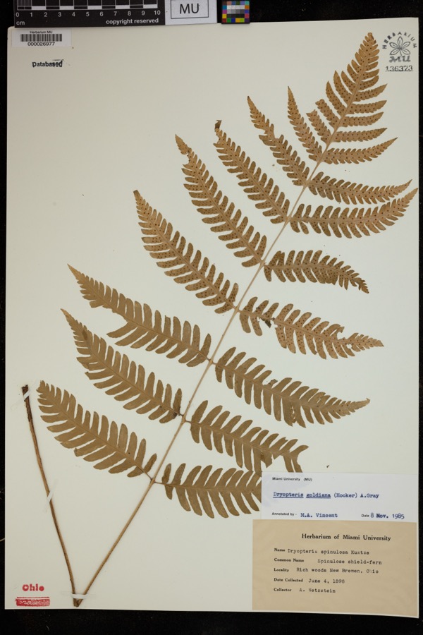
Museum specimens collected inside this
county and catalogued with a date and a place: 1,860 of them, by
kingdom 1,062 animalia, 660 plantae, 128 fungi, 4 protozoa, 4 bacteria. Each is a physical object in a named collection, not a
sighting. Held by Ohio State University - Fish Division, Columbus, OH (OSUM), CM, INHS, UMMZ, FLAS, Ohio State University - Amphibian Division, Columbus, OH (OSUM) among others, and each settlement page carries
the specimens collected near it.
The oldest of them. A specimen proves
something was collected on that day; its absence proves nothing.
Centennial History of Coshocton County, Ohio devotes a chapter to each township:
its boundaries and streams, who settled it and when, the mills, the
schools and the churches. All 22 are reproduced here in full. Each row
shows the township's own shape and where it lies in the county, drawn from
the Census Bureau's boundary. Which settlements belong to which township
is computed from that same boundary, not taken from the book.
Everyone Centennial History of Coshocton County, Ohio stops to write about, with
the section that describes them. Among them are the men who founded the
place and governed the Territory. Each name opens the passage itself, in
the words of 1909.
Named settlements recorded in the Geographic Names
Information System, each with the topographic sheets covering it. Villages,
hamlets and abandoned places alike. Each is shown with the watercourse or
landform it stands on and the survey quadrangle it falls on. The 2
places that were also surveyed for fire insurance come first, with the
number of atlases and photographs held for them.
The complete index, with nothing left out.
Each of these is a separate record with its own page: a federal survey
report, or the case file that argued a property on to the National
Register. Both are public domain and reproduced word for word.
Topographic sheets. USGS Historical Topographic Map Collection, county index, measured from the bulk metadata.
Fire insurance maps. Library of Congress Sanborn collection, faceted to this county.
Photographs. Each place queried individually against the Library of Congress Prints and Photographs search.
Wildfire. Short, Karen C. 2022. Spatial wildfire occurrence data for the United States, 1992-2020 [FPA_FOD_20221014]. 6th Edition. Fort Collins, CO: Forest Service Research Data Archive. https://doi.org/10.2737/RDS-2013-0009.6 Collected with United States Government funding and usable without additional permissions or fees.
Specimens. Global Biodiversity Information Facility (GBIF), https://www.gbif.org/. Only records licensed CC0 or CC BY are used. Records licensed CC BY-NC are excluded because this site carries advertising. Images are checked individually and any whose licence is non-commercial, no-derivatives or unreadable is refused.
Mines and quarries. USGS Mineral Resources Data System (MRDS) https://mrdata.usgs.gov/mrds/ A work of the United States government, no copyright under 17 U.S.C. 105.
Storms. NOAA National Centers for Environmental Information, Storm Events Database https://www.ncei.noaa.gov/stormevents/ A work of the United States government, no copyright under 17 U.S.C. 105. Narratives are quoted verbatim from the National Weather Service report and are not edited or summarised.
 Block
Block